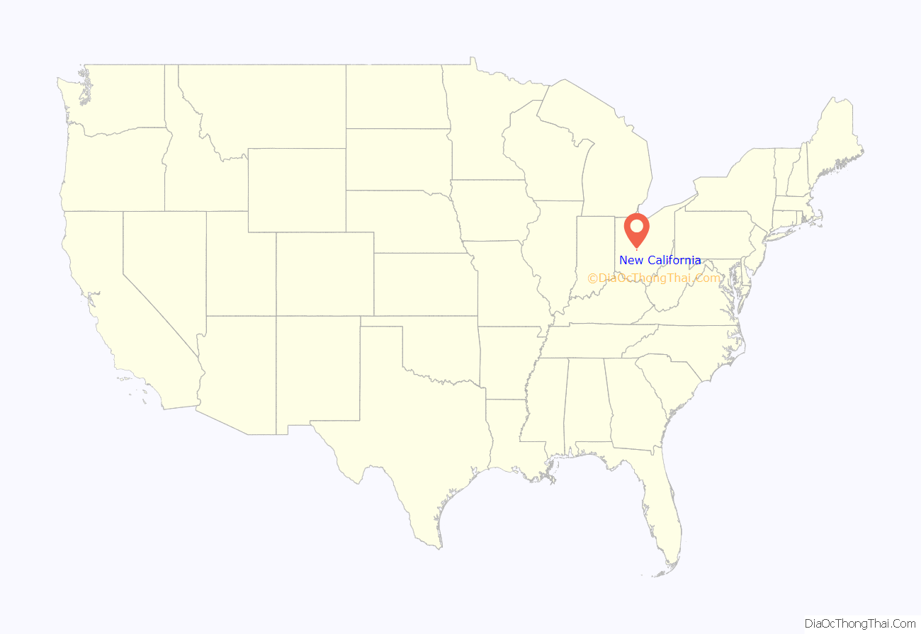
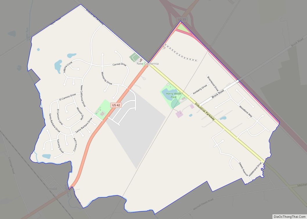
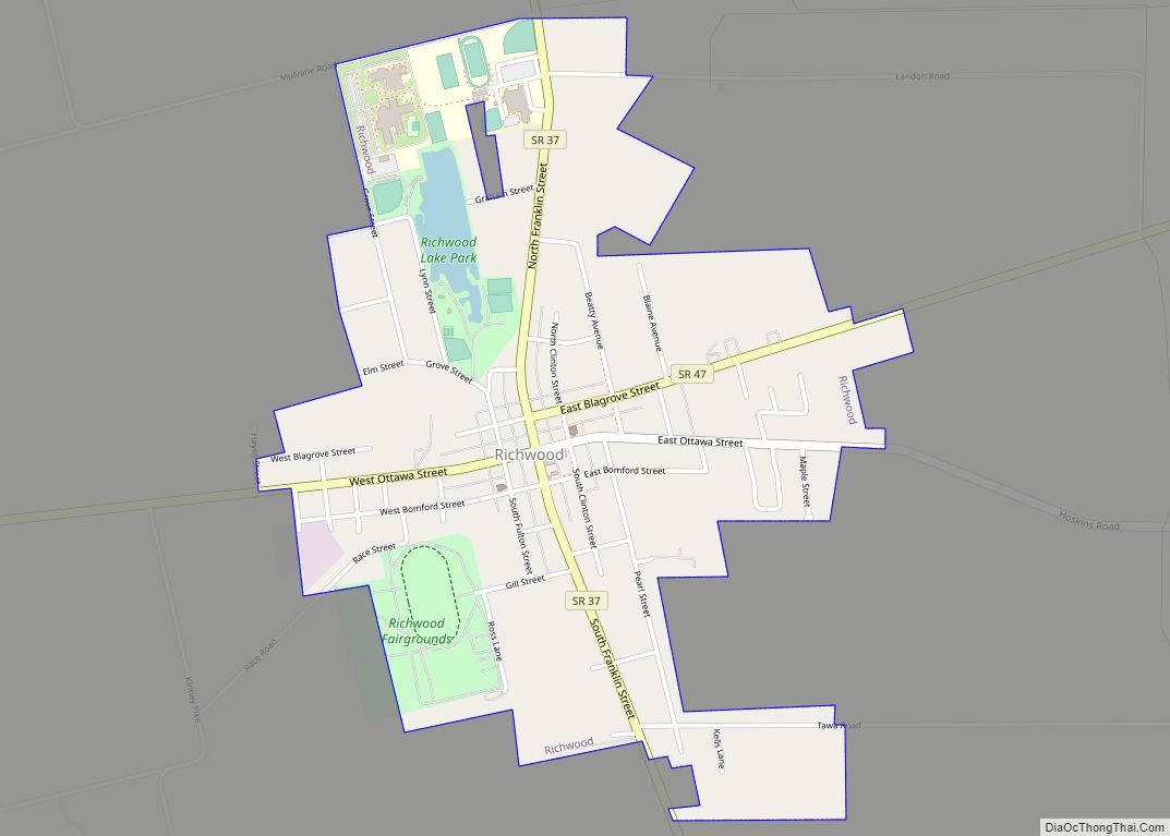
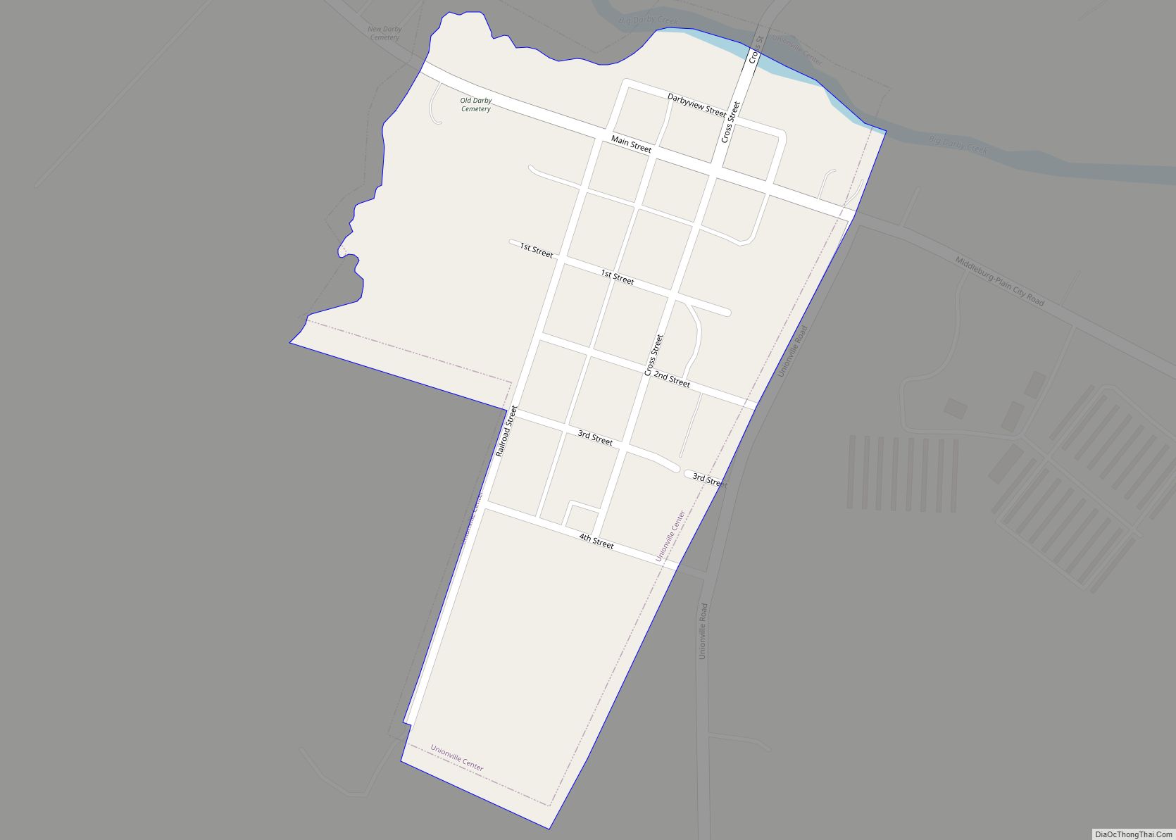
New California is a census-designated place in central Jerome Township, Union County, Ohio, United States. It is located at 40°09′22″N 83°14′12″W / 40.15611°N 83.23667°W / 40.15611; -83.23667Coordinates: 40°09′22″N 83°14′12″W / 40.15611°N 83.23667°W / 40.15611; -83.23667, at the intersection of U.S. Route 42 and Industrial Parkway, just south of 42’s intersection with U.S. Route 33.
| Name: | New California CDP |
|---|---|
| LSAD Code: | 57 |
| LSAD Description: | CDP (suffix) |
| State: | Ohio |
| County: | Union County |
| Elevation: | 997 ft (304 m) |
| Total Area: | 2.09 sq mi (5.41 km²) |
| Land Area: | 2.06 sq mi (5.33 km²) |
| Water Area: | 0.03 sq mi (0.08 km²) |
| Total Population: | 2,225 |
| Population Density: | 1,081.15/sq mi (417.42/km²) |
| ZIP code: | 43064 |
| Area code: | 614 |
| FIPS code: | 3954320 |
| GNISfeature ID: | 1043828 |
Online Interactive Map
Click on ![]() to view map in "full screen" mode.
to view map in "full screen" mode.
New California location map. Where is New California CDP?
History
New California was platted in 1853. According to tradition, news of a man passing through the settlement to California caused the name to be selected. The New California Post office was established on January 7, 1850, but was discontinued on May 14, 1904. The mail service is now sent through the Plain City branch.
On September 19, 2009, a new Ohio historical marker was dedicated in New California. The marker symbolizes the fact that 367 men from Jerome Township joined the Union cause, giving it one of the highest per capita rates for service in the nation during the American Civil War, and also the fact that seventeen of those veterans are buried in the community’s small cemetery.
New California Road Map
New California city Satellite Map
See also
Map of Ohio State and its subdivision:- Adams
- Allen
- Ashland
- Ashtabula
- Athens
- Auglaize
- Belmont
- Brown
- Butler
- Carroll
- Champaign
- Clark
- Clermont
- Clinton
- Columbiana
- Coshocton
- Crawford
- Cuyahoga
- Darke
- Defiance
- Delaware
- Erie
- Fairfield
- Fayette
- Franklin
- Fulton
- Gallia
- Geauga
- Greene
- Guernsey
- Hamilton
- Hancock
- Hardin
- Harrison
- Henry
- Highland
- Hocking
- Holmes
- Huron
- Jackson
- Jefferson
- Knox
- Lake
- Lake Erie
- Lawrence
- Licking
- Logan
- Lorain
- Lucas
- Madison
- Mahoning
- Marion
- Medina
- Meigs
- Mercer
- Miami
- Monroe
- Montgomery
- Morgan
- Morrow
- Muskingum
- Noble
- Ottawa
- Paulding
- Perry
- Pickaway
- Pike
- Portage
- Preble
- Putnam
- Richland
- Ross
- Sandusky
- Scioto
- Seneca
- Shelby
- Stark
- Summit
- Trumbull
- Tuscarawas
- Union
- Van Wert
- Vinton
- Warren
- Washington
- Wayne
- Williams
- Wood
- Wyandot
- Alabama
- Alaska
- Arizona
- Arkansas
- California
- Colorado
- Connecticut
- Delaware
- District of Columbia
- Florida
- Georgia
- Hawaii
- Idaho
- Illinois
- Indiana
- Iowa
- Kansas
- Kentucky
- Louisiana
- Maine
- Maryland
- Massachusetts
- Michigan
- Minnesota
- Mississippi
- Missouri
- Montana
- Nebraska
- Nevada
- New Hampshire
- New Jersey
- New Mexico
- New York
- North Carolina
- North Dakota
- Ohio
- Oklahoma
- Oregon
- Pennsylvania
- Rhode Island
- South Carolina
- South Dakota
- Tennessee
- Texas
- Utah
- Vermont
- Virginia
- Washington
- West Virginia
- Wisconsin
- Wyoming
