New Madison is a village in Darke County, Ohio, United States. The population was 892 at the 2010 census.
| Name: | New Madison village |
|---|---|
| LSAD Code: | 47 |
| LSAD Description: | village (suffix) |
| State: | Ohio |
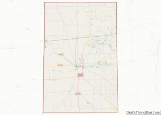
| County: | Darke County |
| Elevation: | 1,111 ft (339 m) |
| Total Area: | 0.47 sq mi (1.23 km²) |
| Land Area: | 0.47 sq mi (1.23 km²) |
| Water Area: | 0.00 sq mi (0.00 km²) |
| Total Population: | 840 |
| Population Density: | 1,772.15/sq mi (684.37/km²) |
| ZIP code: | 45346 |
| Area code: | 937, 326 |
| FIPS code: | 3954978 |
| GNISfeature ID: | 1056450 |
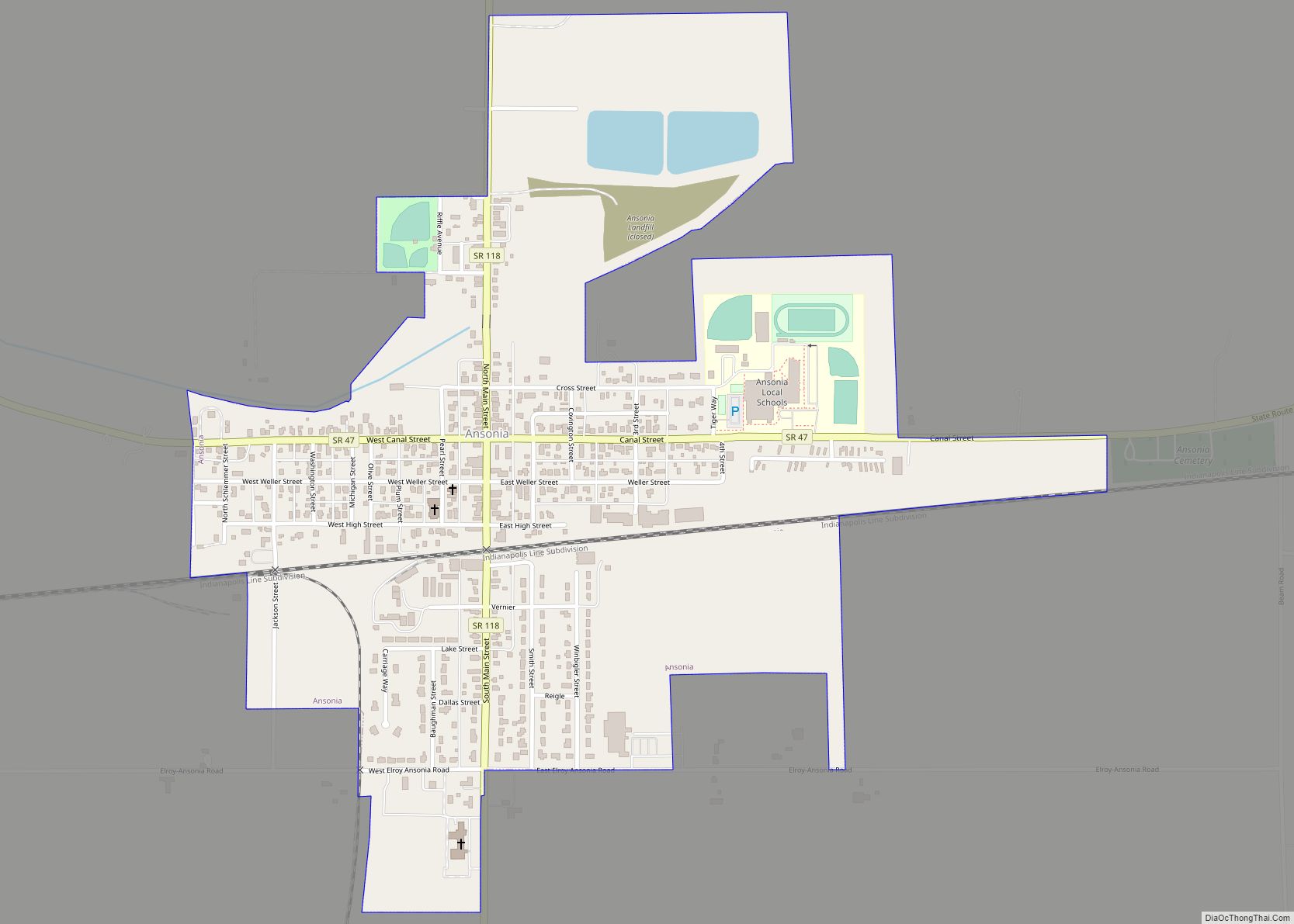
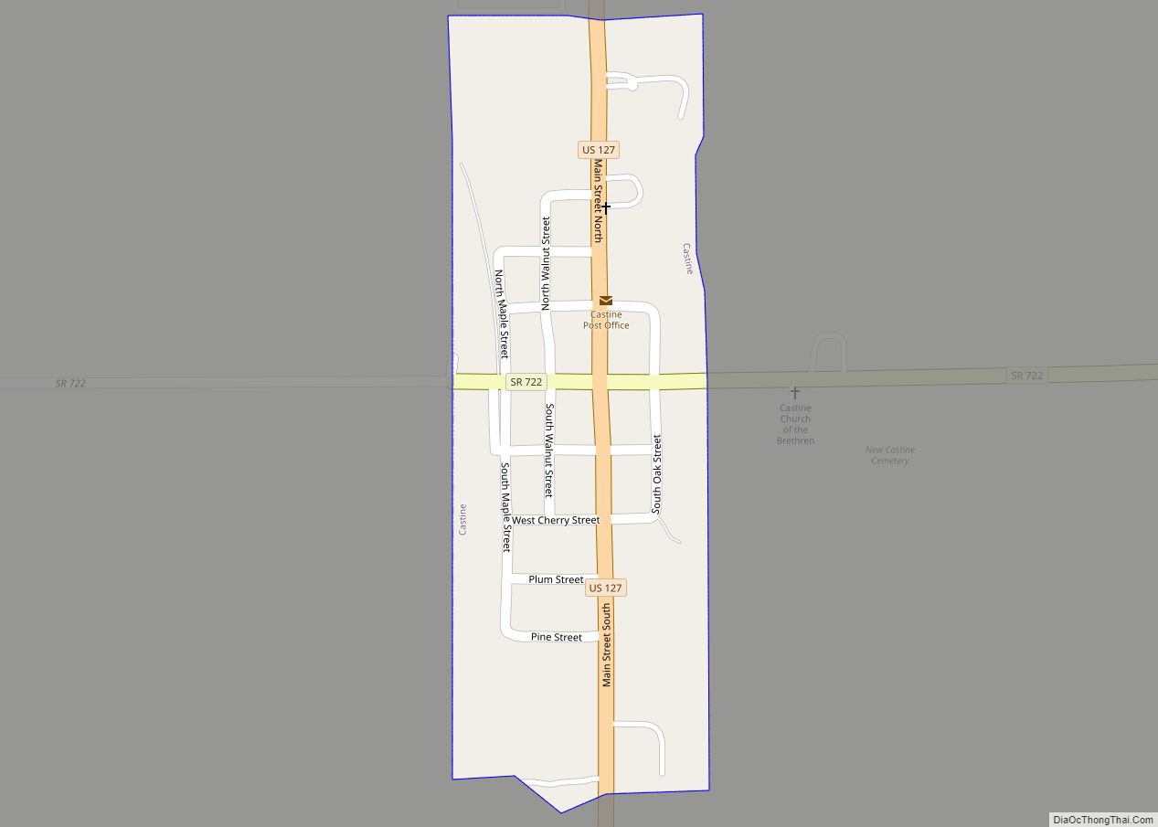
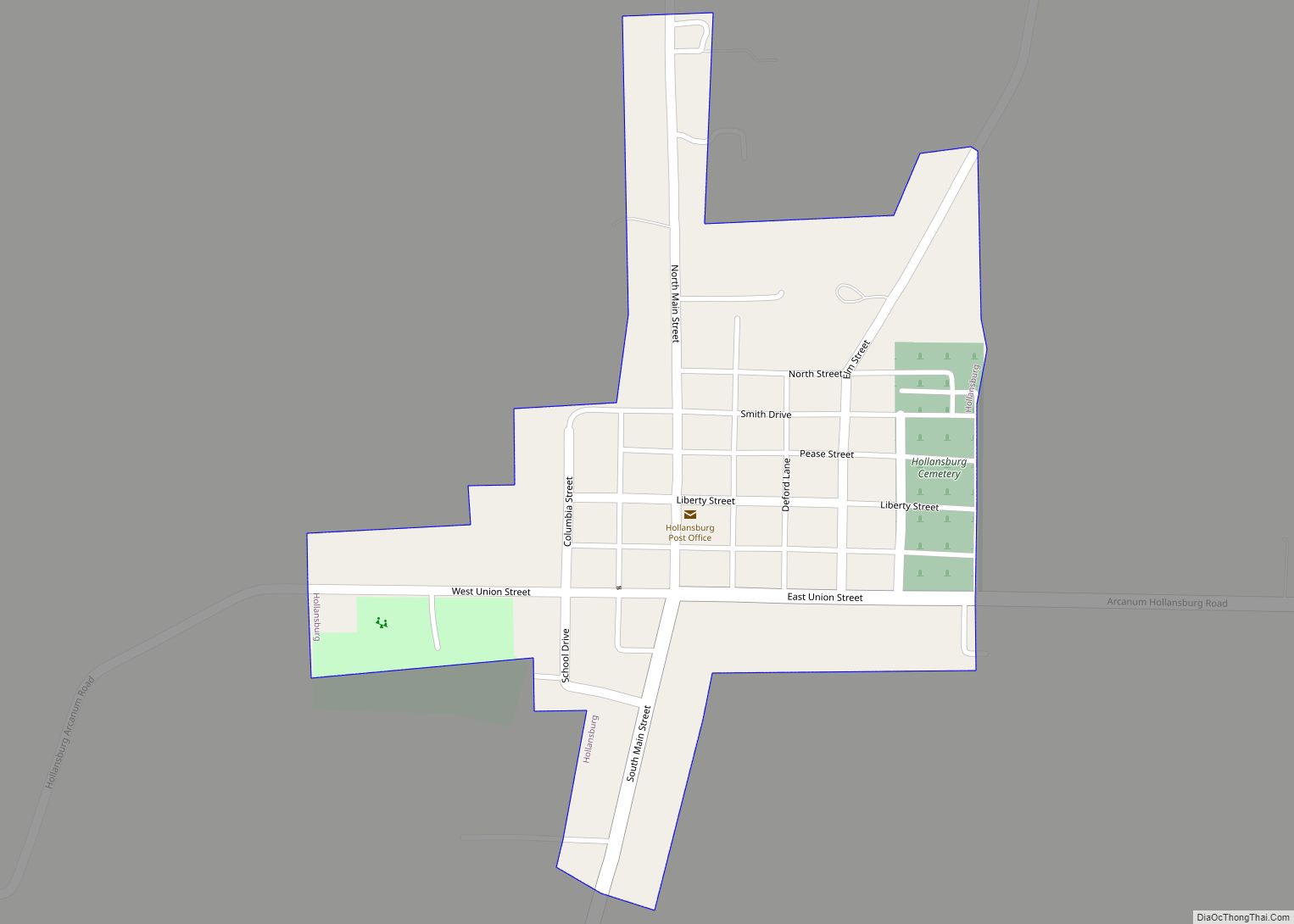
Online Interactive Map
Click on ![]() to view map in "full screen" mode.
to view map in "full screen" mode.
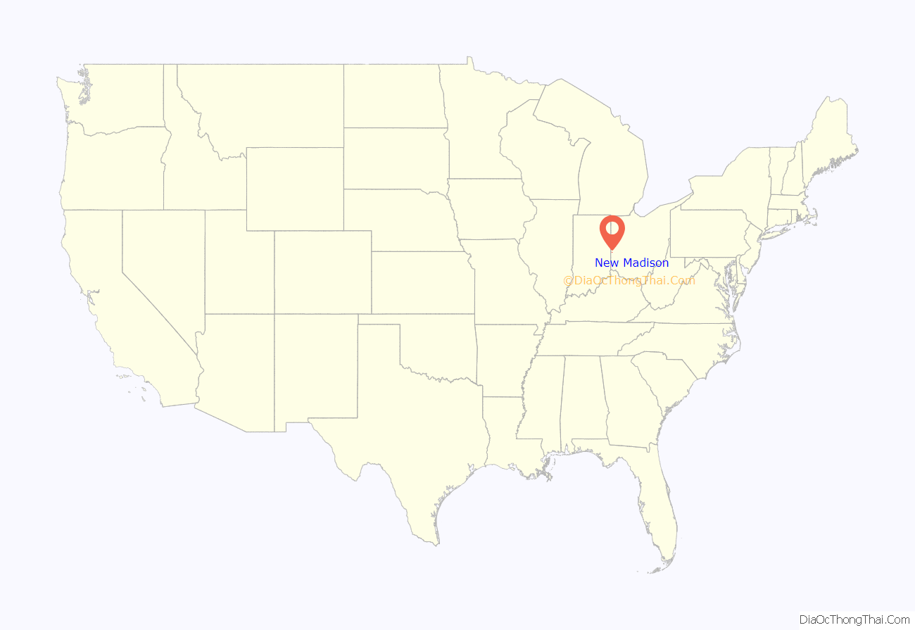
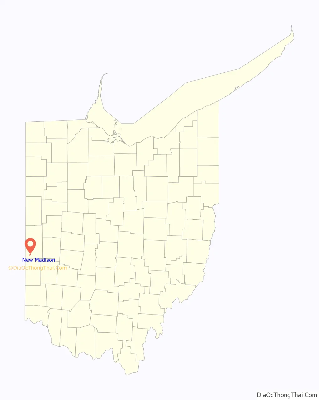
New Madison location map. Where is New Madison village?
History
New Madison was platted by Zadock Smith in 1817 for purposes of land speculation, but his efforts failed; he was unable to sell any of the lots. Two years later, he sold the land to Ernestus Putnam, who replatted the village and began to sell lots in 1831; unlike Smith, Putnam saw the establishment of a successful community. The village was named after Madison, Indiana by Ernestus Putman. Ernestus Putman previously lived in Madison, In. and he named it New Madison after he bought the village. The first church in the community was a Presbyterian congregation. While the community’s first school was founded in its early years, the building was replaced by a substantial two-story structure in 1870; it in turn was replaced by a larger built in 1897.
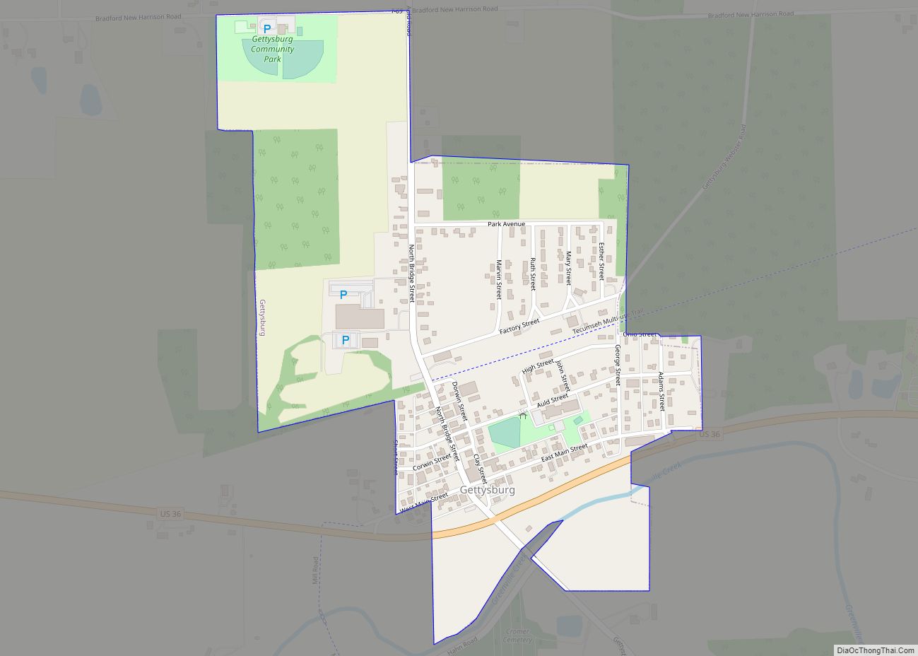
New Madison Road Map
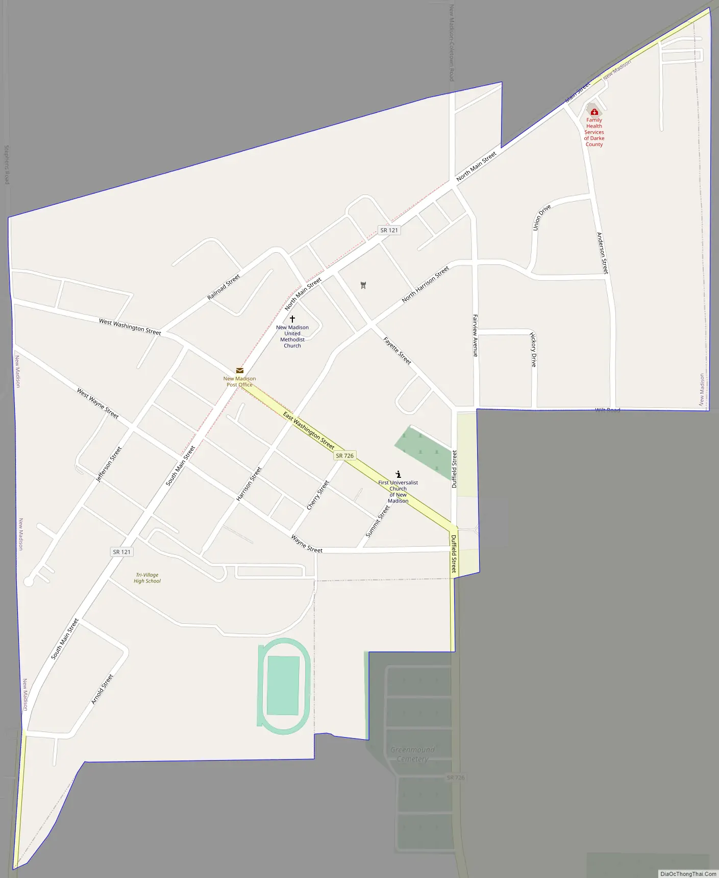
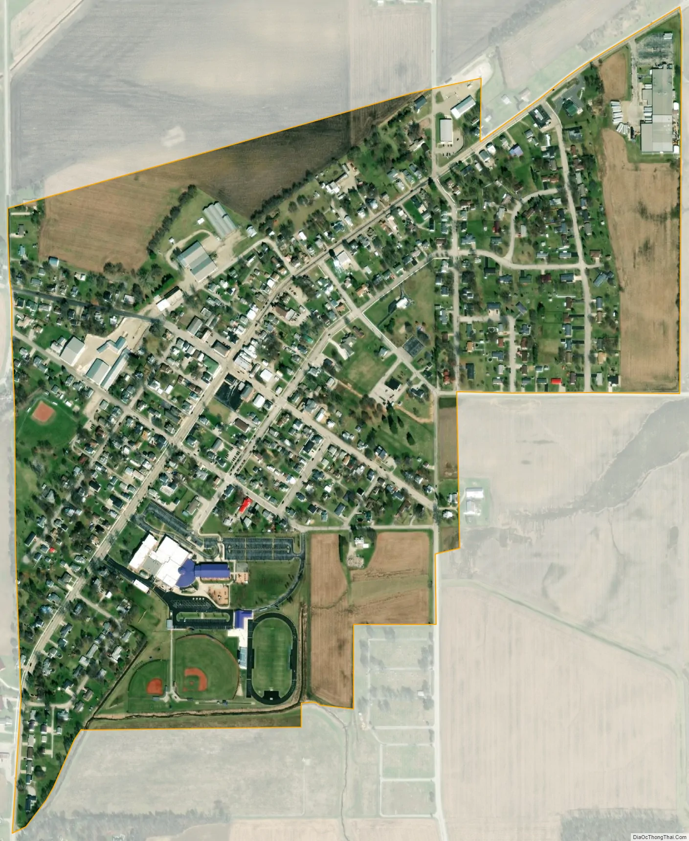
New Madison city Satellite Map
Geography
New Madison is located at 39°58′7″N 84°42′30″W / 39.96861°N 84.70833°W / 39.96861; -84.70833 (39.968569, -84.708239).
According to the United States Census Bureau, the village has a total area of 0.41 square miles (1.06 km), all land.
See also
Map of Ohio State and its subdivision:- Adams
- Allen
- Ashland
- Ashtabula
- Athens
- Auglaize
- Belmont
- Brown
- Butler
- Carroll
- Champaign
- Clark
- Clermont
- Clinton
- Columbiana
- Coshocton
- Crawford
- Cuyahoga
- Darke
- Defiance
- Delaware
- Erie
- Fairfield
- Fayette
- Franklin
- Fulton
- Gallia
- Geauga
- Greene
- Guernsey
- Hamilton
- Hancock
- Hardin
- Harrison
- Henry
- Highland
- Hocking
- Holmes
- Huron
- Jackson
- Jefferson
- Knox
- Lake
- Lake Erie
- Lawrence
- Licking
- Logan
- Lorain
- Lucas
- Madison
- Mahoning
- Marion
- Medina
- Meigs
- Mercer
- Miami
- Monroe
- Montgomery
- Morgan
- Morrow
- Muskingum
- Noble
- Ottawa
- Paulding
- Perry
- Pickaway
- Pike
- Portage
- Preble
- Putnam
- Richland
- Ross
- Sandusky
- Scioto
- Seneca
- Shelby
- Stark
- Summit
- Trumbull
- Tuscarawas
- Union
- Van Wert
- Vinton
- Warren
- Washington
- Wayne
- Williams
- Wood
- Wyandot
- Alabama
- Alaska
- Arizona
- Arkansas
- California
- Colorado
- Connecticut
- Delaware
- District of Columbia
- Florida
- Georgia
- Hawaii
- Idaho
- Illinois
- Indiana
- Iowa
- Kansas
- Kentucky
- Louisiana
- Maine
- Maryland
- Massachusetts
- Michigan
- Minnesota
- Mississippi
- Missouri
- Montana
- Nebraska
- Nevada
- New Hampshire
- New Jersey
- New Mexico
- New York
- North Carolina
- North Dakota
- Ohio
- Oklahoma
- Oregon
- Pennsylvania
- Rhode Island
- South Carolina
- South Dakota
- Tennessee
- Texas
- Utah
- Vermont
- Virginia
- Washington
- West Virginia
- Wisconsin
- Wyoming