New Straitsville is a village in Perry County, Ohio, United States. The population was 652 at the 2020 census.
| Name: | New Straitsville village |
|---|---|
| LSAD Code: | 47 |
| LSAD Description: | village (suffix) |
| State: | Ohio |
| County: | Perry County |
| Elevation: | 787 ft (240 m) |
| Total Area: | 1.30 sq mi (3.37 km²) |
| Land Area: | 1.30 sq mi (3.37 km²) |
| Water Area: | 0.00 sq mi (0.00 km²) |
| Total Population: | 652 |
| Population Density: | 501.54/sq mi (193.71/km²) |
| ZIP code: | 43766 |
| Area code: | 740 |
| FIPS code: | 3955552 |
| GNISfeature ID: | 1076511 |
Online Interactive Map
Click on ![]() to view map in "full screen" mode.
to view map in "full screen" mode.
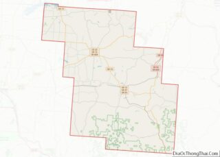
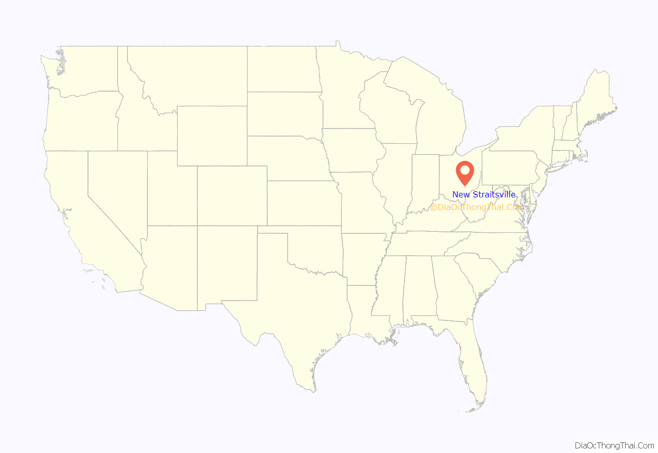
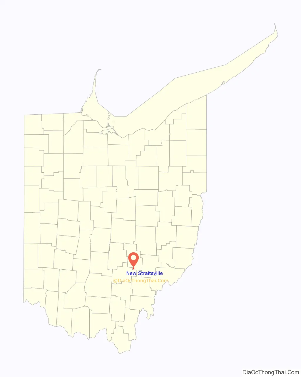
New Straitsville location map. Where is New Straitsville village?
History
New Straitsville was founded in 1870 as a coal mining town by the New Straitsville Mining Company. The town grew quickly and by 1880 the population was over 4,000 people. The coal mining activity ended in 1884, when a labor dispute at the mine ended with a group of miners sending a burning coal car into the mine, igniting the coal. At one time the heat from the fire was so great that residents could draw hot water directly from wells to brew coffee. The fire in the New Straitsville mine burns to this day. New Straitsville is also famous for its annual “Moonshine Festival,” which occurs during Memorial Day Weekend each year.
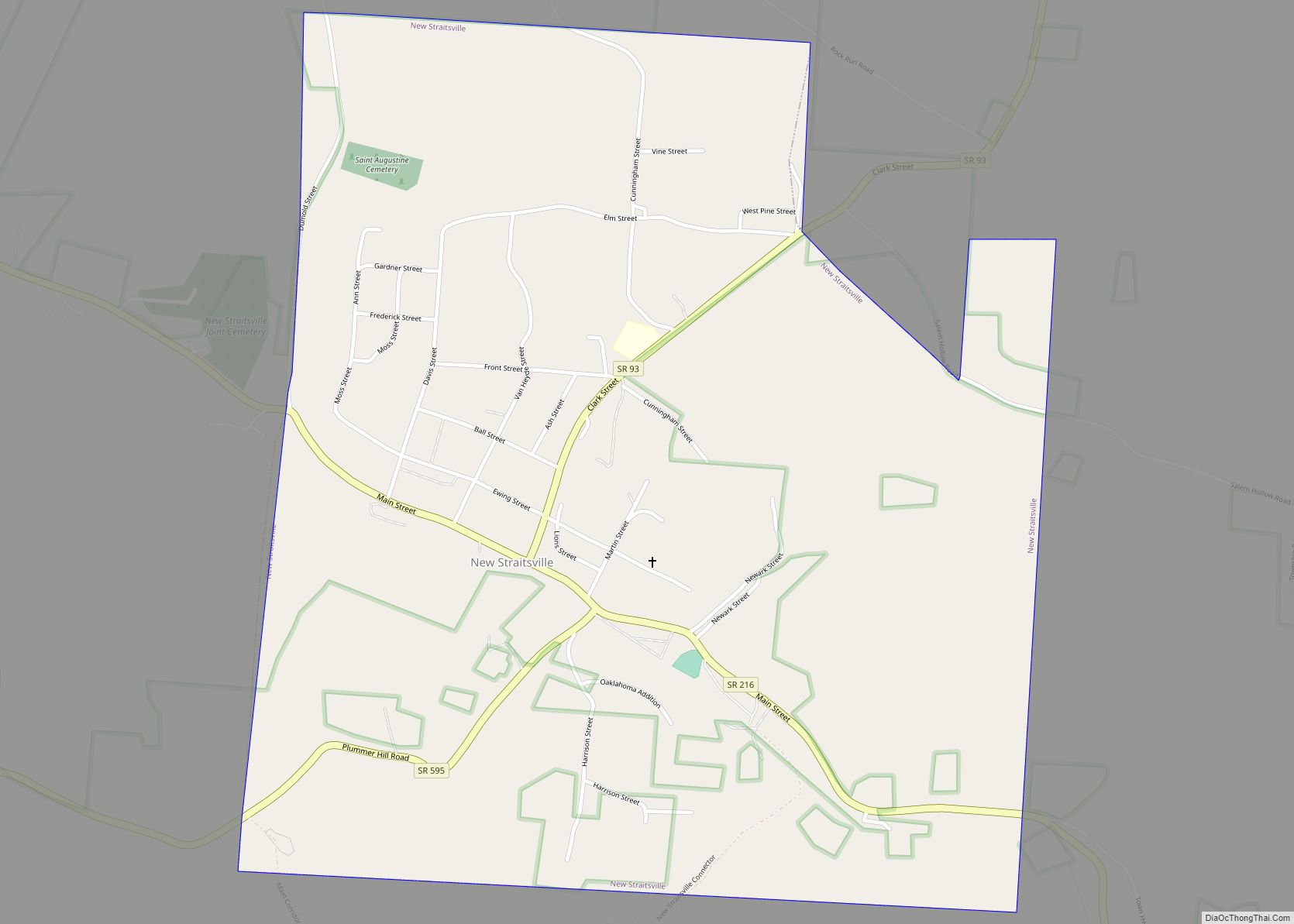
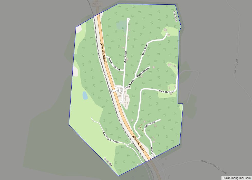
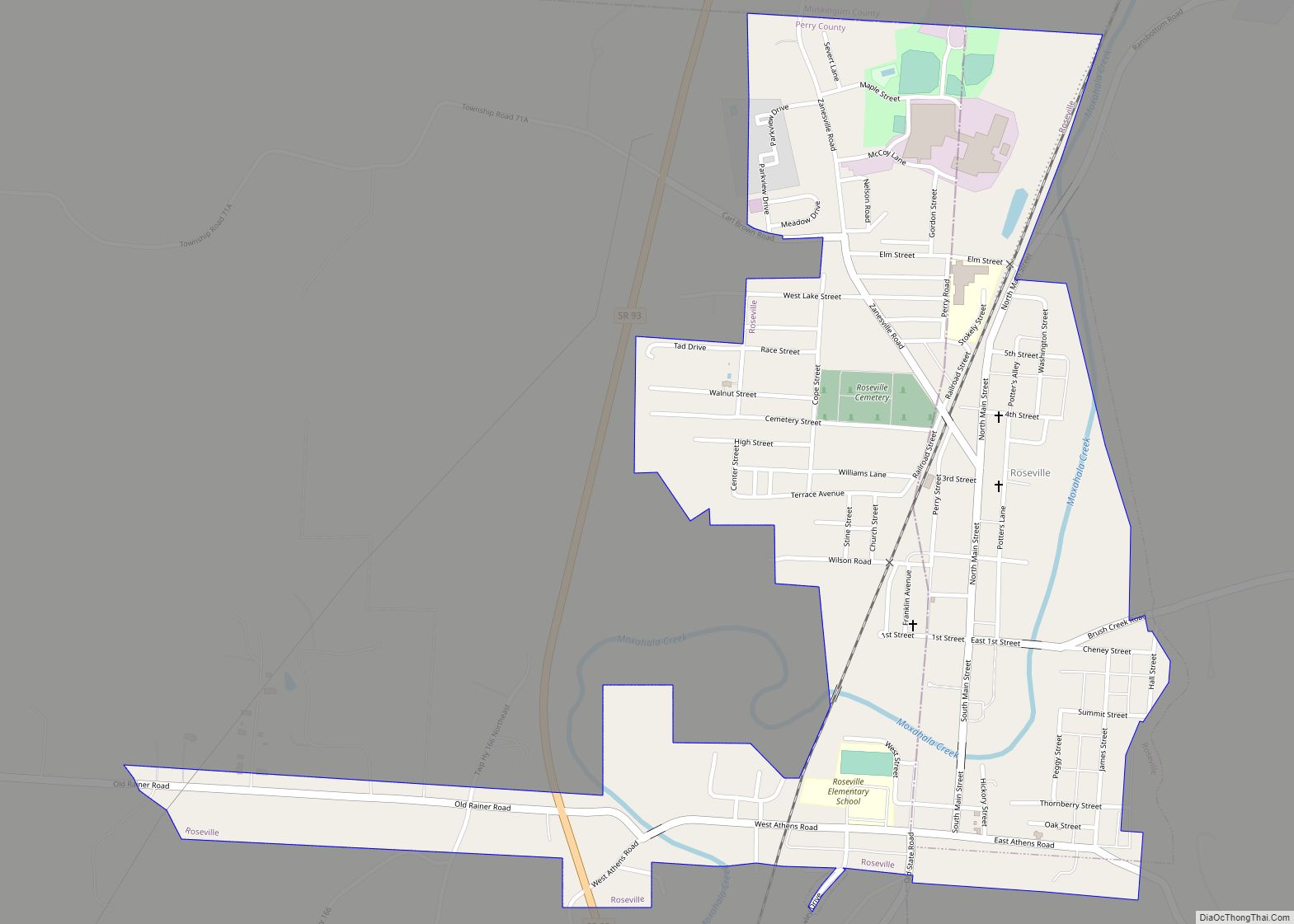
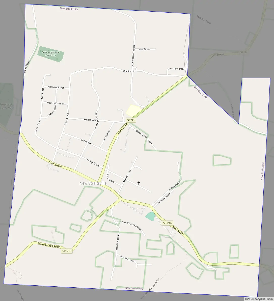
New Straitsville Road Map
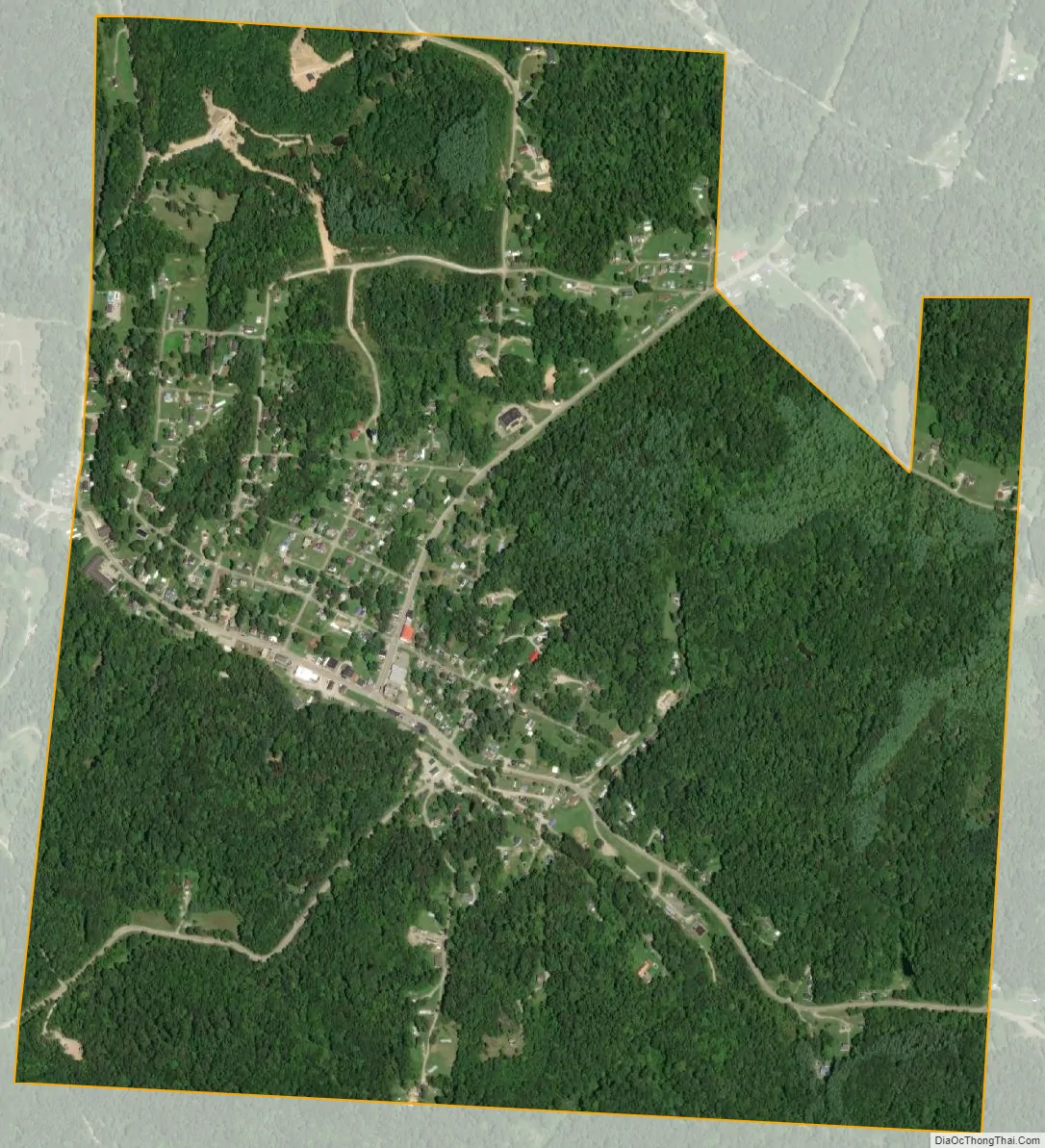
New Straitsville city Satellite Map
Geography
New Straitsville is located at 39°34′53″N 82°14′08″W / 39.581324°N 82.235604°W / 39.581324; -82.235604.
According to the United States Census Bureau, the village has a total area of 1.30 square miles (3.37 km), all land. It lies in the watershed of Monday Creek.
See also
Map of Ohio State and its subdivision:- Adams
- Allen
- Ashland
- Ashtabula
- Athens
- Auglaize
- Belmont
- Brown
- Butler
- Carroll
- Champaign
- Clark
- Clermont
- Clinton
- Columbiana
- Coshocton
- Crawford
- Cuyahoga
- Darke
- Defiance
- Delaware
- Erie
- Fairfield
- Fayette
- Franklin
- Fulton
- Gallia
- Geauga
- Greene
- Guernsey
- Hamilton
- Hancock
- Hardin
- Harrison
- Henry
- Highland
- Hocking
- Holmes
- Huron
- Jackson
- Jefferson
- Knox
- Lake
- Lake Erie
- Lawrence
- Licking
- Logan
- Lorain
- Lucas
- Madison
- Mahoning
- Marion
- Medina
- Meigs
- Mercer
- Miami
- Monroe
- Montgomery
- Morgan
- Morrow
- Muskingum
- Noble
- Ottawa
- Paulding
- Perry
- Pickaway
- Pike
- Portage
- Preble
- Putnam
- Richland
- Ross
- Sandusky
- Scioto
- Seneca
- Shelby
- Stark
- Summit
- Trumbull
- Tuscarawas
- Union
- Van Wert
- Vinton
- Warren
- Washington
- Wayne
- Williams
- Wood
- Wyandot
- Alabama
- Alaska
- Arizona
- Arkansas
- California
- Colorado
- Connecticut
- Delaware
- District of Columbia
- Florida
- Georgia
- Hawaii
- Idaho
- Illinois
- Indiana
- Iowa
- Kansas
- Kentucky
- Louisiana
- Maine
- Maryland
- Massachusetts
- Michigan
- Minnesota
- Mississippi
- Missouri
- Montana
- Nebraska
- Nevada
- New Hampshire
- New Jersey
- New Mexico
- New York
- North Carolina
- North Dakota
- Ohio
- Oklahoma
- Oregon
- Pennsylvania
- Rhode Island
- South Carolina
- South Dakota
- Tennessee
- Texas
- Utah
- Vermont
- Virginia
- Washington
- West Virginia
- Wisconsin
- Wyoming