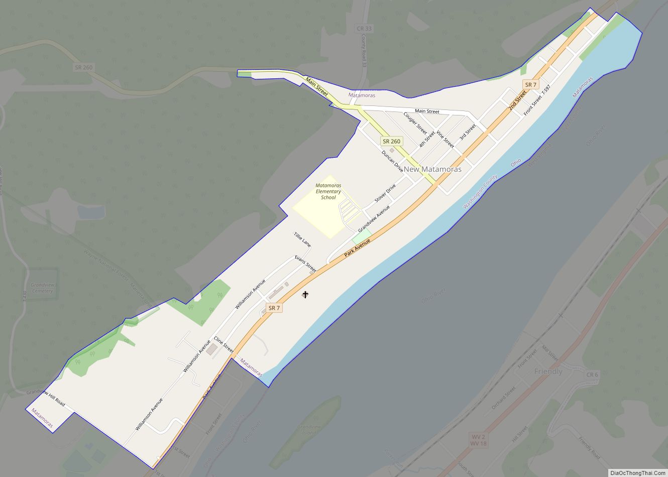
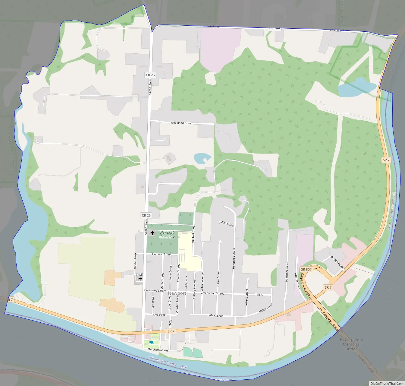
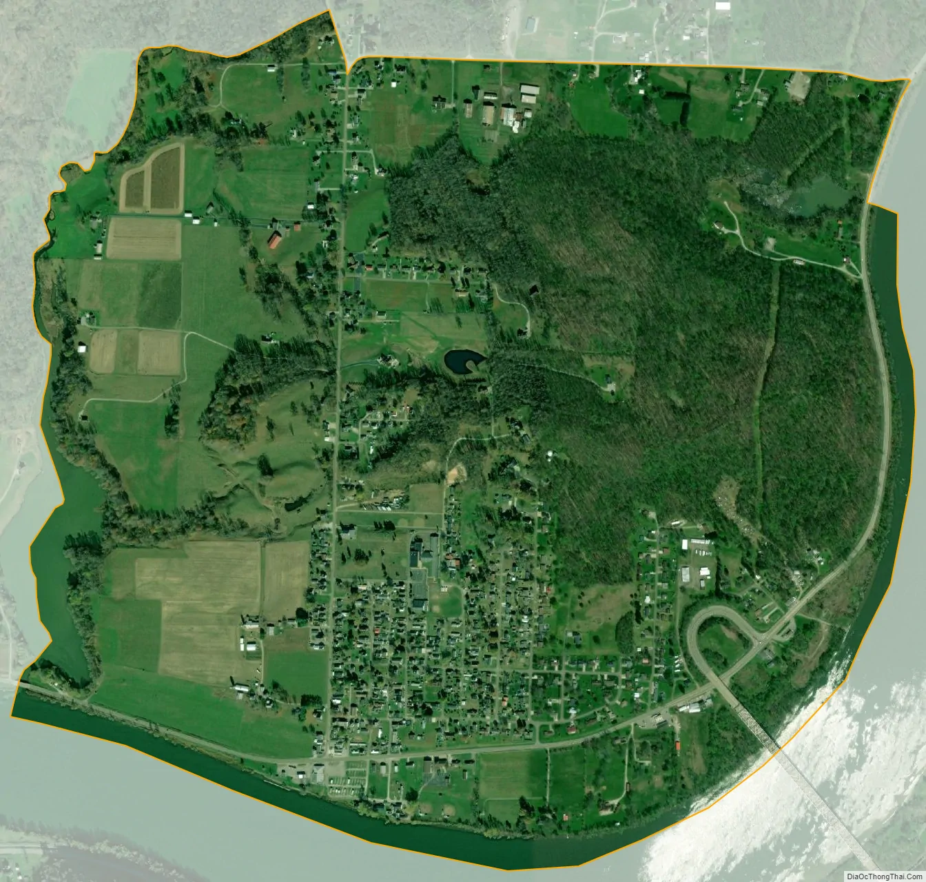
Newport is a census-designated place in eastern Newport Township, Washington County, Ohio, United States. It has a post office with the ZIP code 45768. Newport lies along the Ohio River several miles above the county seat of Marietta. Today its main street is designated as State Route 7.
Newport is the location of the Carpenter Bridge, which carries State Route 807 over the Ohio River. It is the first bridge over the Ohio River above Marietta.
| Name: | Newport CDP |
|---|---|
| LSAD Code: | 57 |
| LSAD Description: | CDP (suffix) |
| State: | Ohio |
| County: | Washington County |
| ZIP code: | 45768 |
| Area code: | 740 |
| FIPS code: | 3955342 |
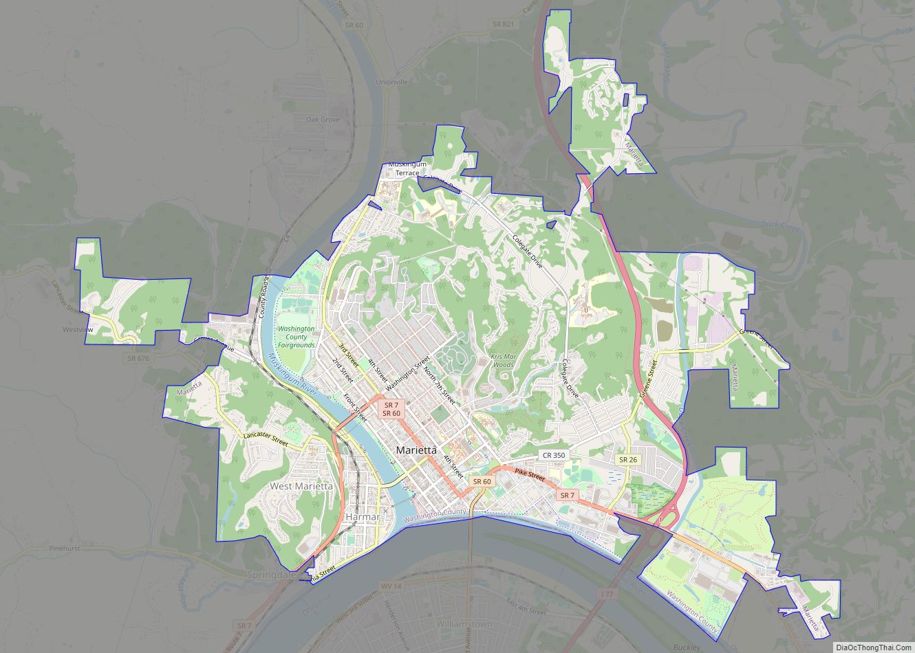
Online Interactive Map
Click on ![]() to view map in "full screen" mode.
to view map in "full screen" mode.
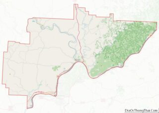
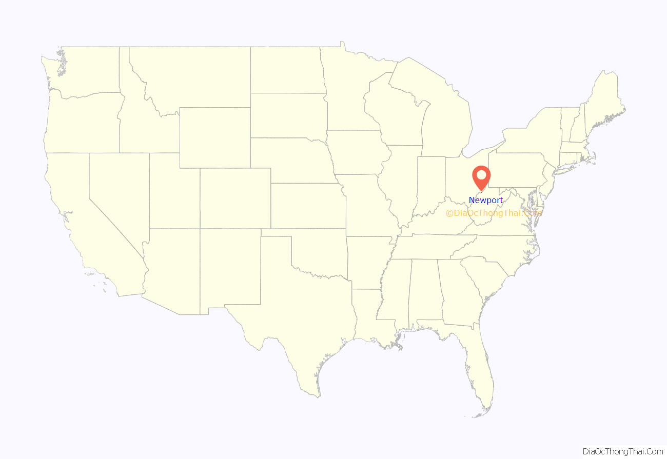
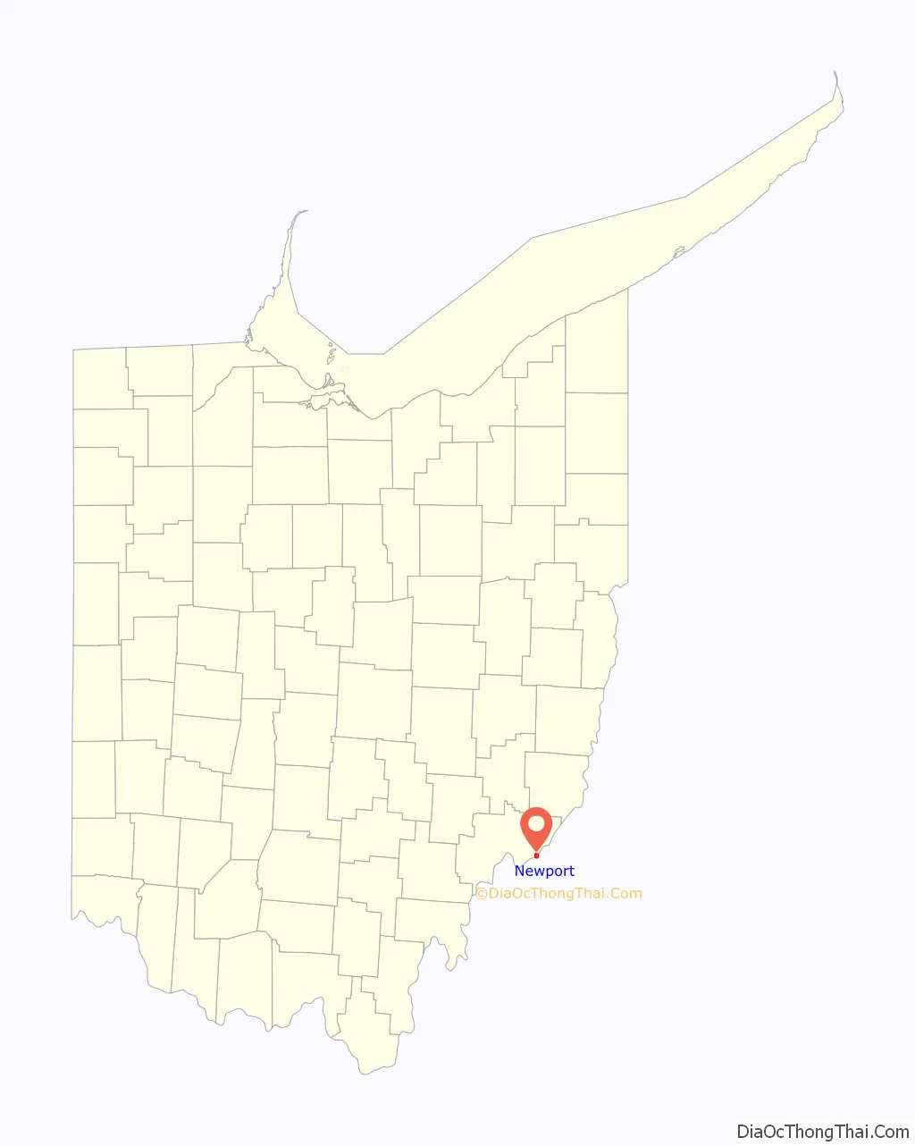
Newport location map. Where is Newport CDP?
History
The first European-American settlement at Newport was made as early as 1798, as settlers from Massachusetts were the first to make their home. However, the site was not platted until 1839. A post office called Newport has been in operation since 1815.
The first Church in the settlement was established by the Methodists in 1825, followed in the next decades by Presbyterians, Baptists, and a Church of Christ.
Newport has had little industry in its history. Copper shops, cigar factories, and mills have all come and gone in the settlement’s first century.
A short distance southwest of Newport on what is now SR7 is the Judge Joseph Barker House. Built in 1832, it is listed on the National Register of Historic Places.
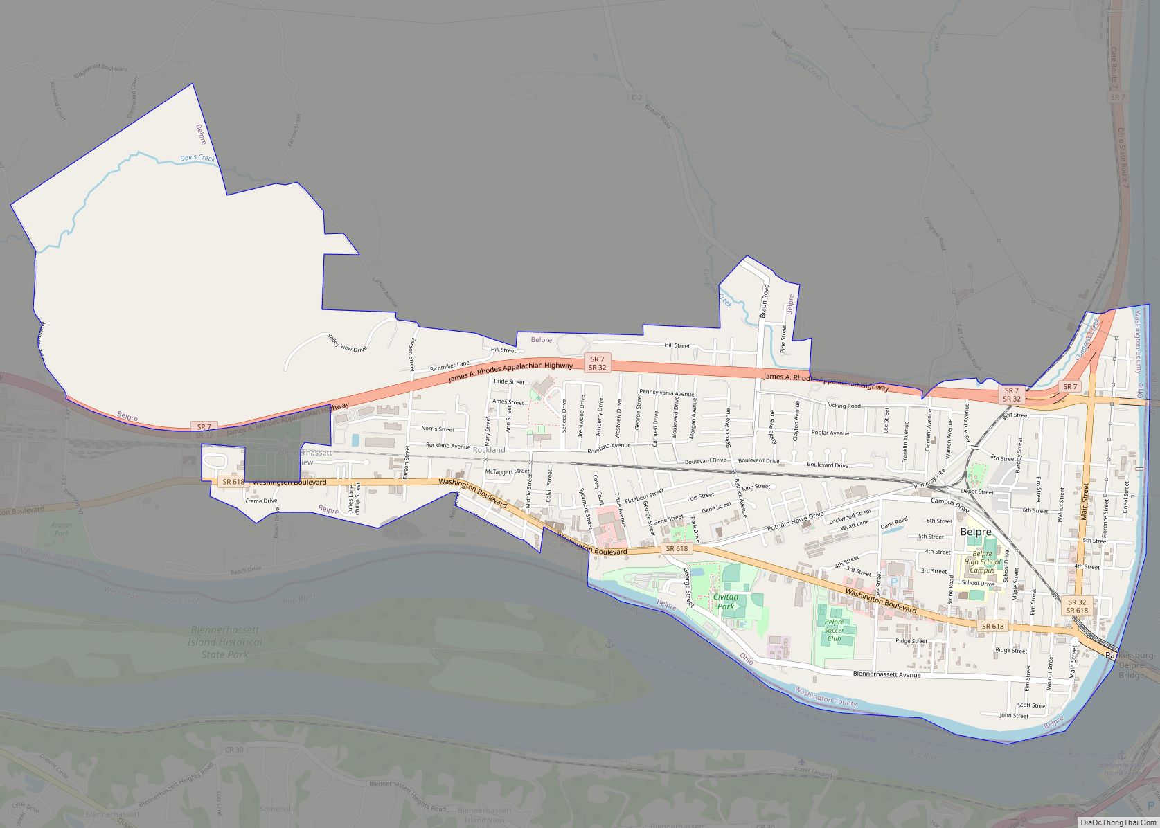
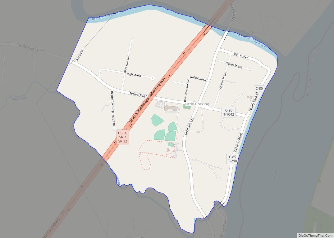
Newport Road Map
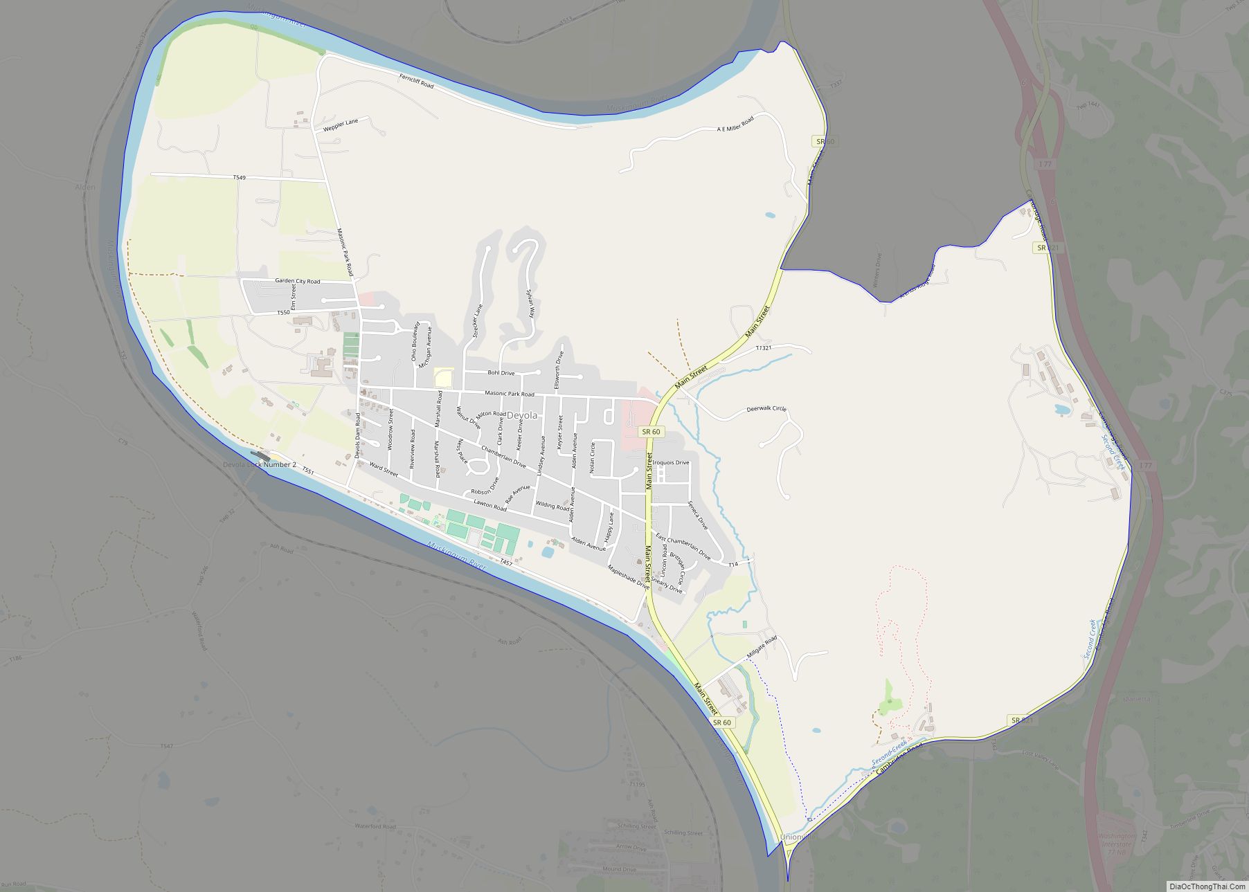
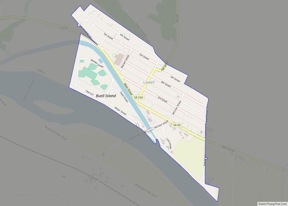
Newport city Satellite Map
See also
Map of Ohio State and its subdivision:- Adams
- Allen
- Ashland
- Ashtabula
- Athens
- Auglaize
- Belmont
- Brown
- Butler
- Carroll
- Champaign
- Clark
- Clermont
- Clinton
- Columbiana
- Coshocton
- Crawford
- Cuyahoga
- Darke
- Defiance
- Delaware
- Erie
- Fairfield
- Fayette
- Franklin
- Fulton
- Gallia
- Geauga
- Greene
- Guernsey
- Hamilton
- Hancock
- Hardin
- Harrison
- Henry
- Highland
- Hocking
- Holmes
- Huron
- Jackson
- Jefferson
- Knox
- Lake
- Lake Erie
- Lawrence
- Licking
- Logan
- Lorain
- Lucas
- Madison
- Mahoning
- Marion
- Medina
- Meigs
- Mercer
- Miami
- Monroe
- Montgomery
- Morgan
- Morrow
- Muskingum
- Noble
- Ottawa
- Paulding
- Perry
- Pickaway
- Pike
- Portage
- Preble
- Putnam
- Richland
- Ross
- Sandusky
- Scioto
- Seneca
- Shelby
- Stark
- Summit
- Trumbull
- Tuscarawas
- Union
- Van Wert
- Vinton
- Warren
- Washington
- Wayne
- Williams
- Wood
- Wyandot
- Alabama
- Alaska
- Arizona
- Arkansas
- California
- Colorado
- Connecticut
- Delaware
- District of Columbia
- Florida
- Georgia
- Hawaii
- Idaho
- Illinois
- Indiana
- Iowa
- Kansas
- Kentucky
- Louisiana
- Maine
- Maryland
- Massachusetts
- Michigan
- Minnesota
- Mississippi
- Missouri
- Montana
- Nebraska
- Nevada
- New Hampshire
- New Jersey
- New Mexico
- New York
- North Carolina
- North Dakota
- Ohio
- Oklahoma
- Oregon
- Pennsylvania
- Rhode Island
- South Carolina
- South Dakota
- Tennessee
- Texas
- Utah
- Vermont
- Virginia
- Washington
- West Virginia
- Wisconsin
- Wyoming