Newton Falls is a village in southwestern Trumbull County, Ohio, United States. The population was 4,557 at the 2020 census. It is part of the Youngstown–Warren metropolitan area. The city takes its name from the two sets of waterfalls within the village, each on different branches of the Mahoning River. The city is known for its unique ZIP code (44444) and for its covered bridge, which is the second oldest in the state of Ohio.
| Name: | Newton Falls village |
|---|---|
| LSAD Code: | 47 |
| LSAD Description: | village (suffix) |
| State: | Ohio |
| County: | Trumbull County |
| Elevation: | 928 ft (283 m) |
| Total Area: | 2.39 sq mi (6.19 km²) |
| Land Area: | 2.31 sq mi (5.98 km²) |
| Water Area: | 0.08 sq mi (0.21 km²) |
| Total Population: | 4,557 |
| Population Density: | 1,900/sq mi (740/km²) |
| ZIP code: | 44444 |
| Area code: | 234/330 |
| FIPS code: | 3955650 |
| Website: | http://ci.newtonfalls.oh.us/ |
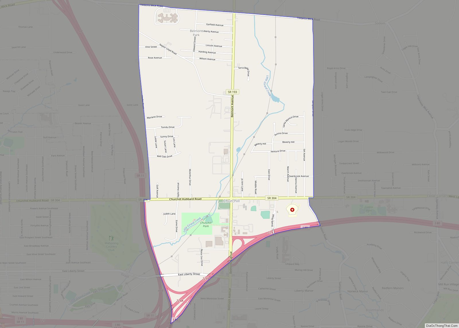
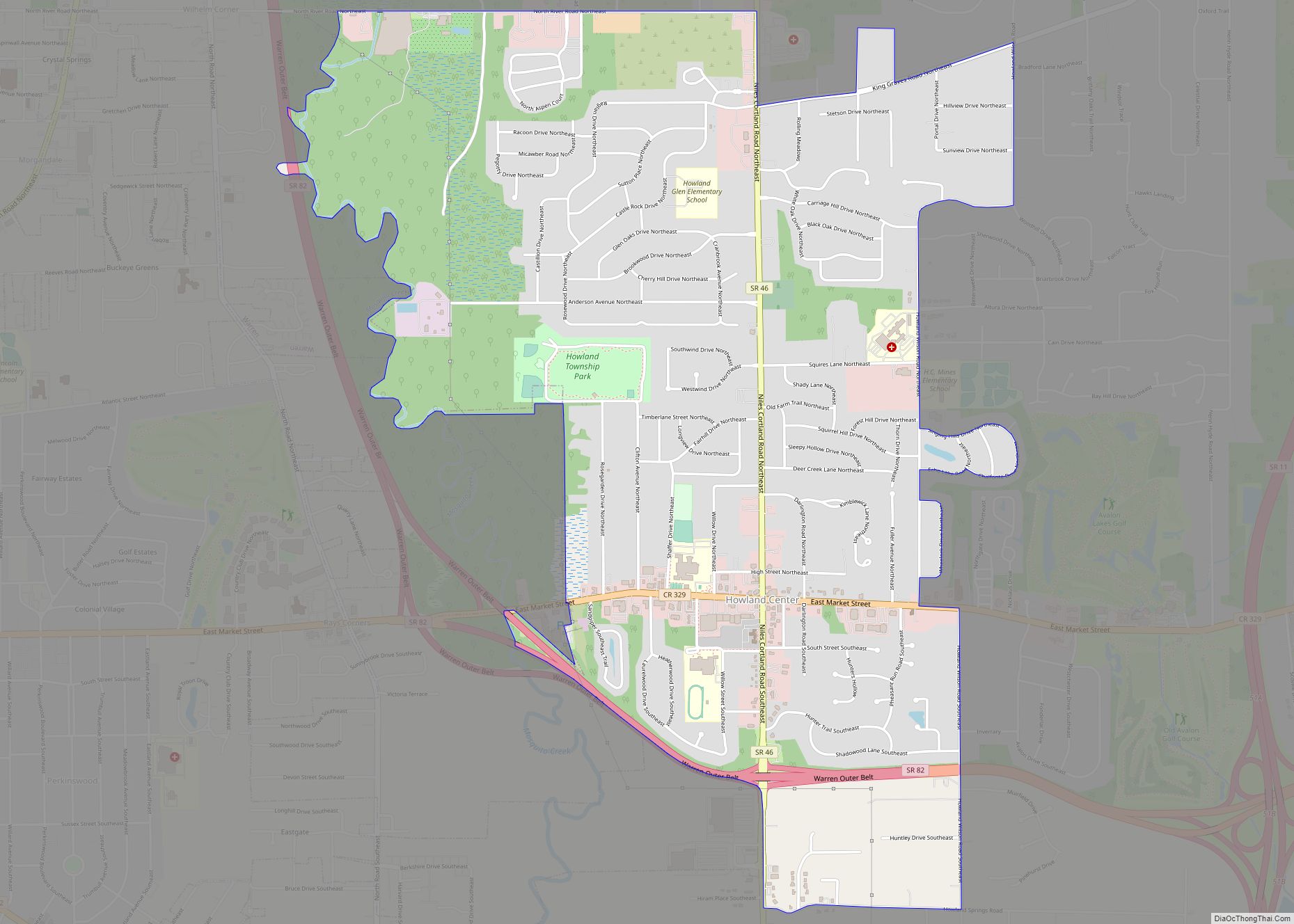
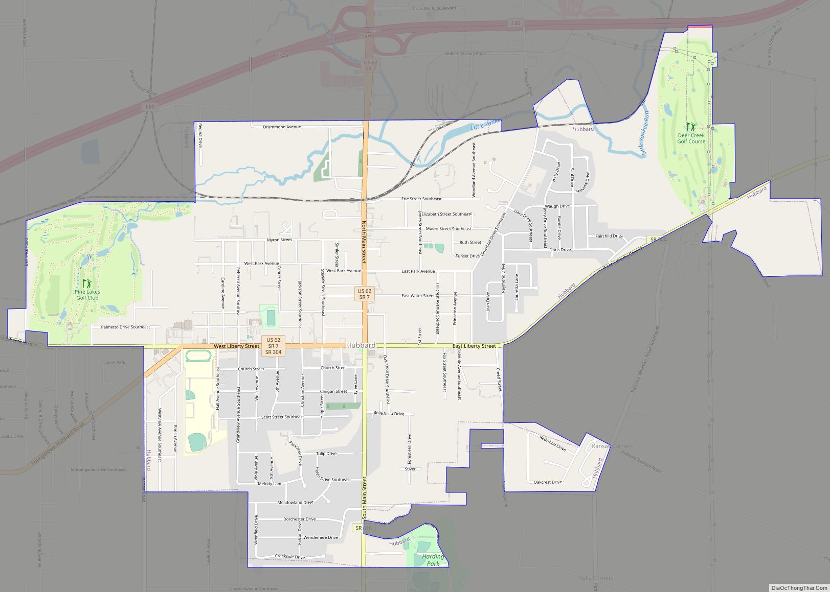
Online Interactive Map
Click on ![]() to view map in "full screen" mode.
to view map in "full screen" mode.
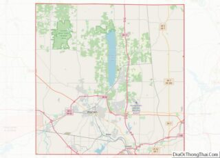
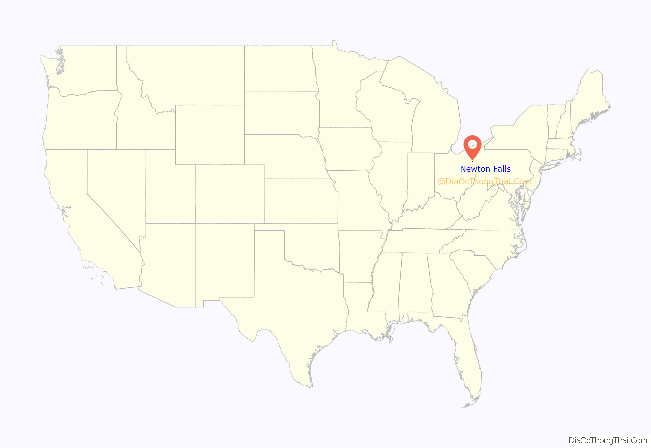
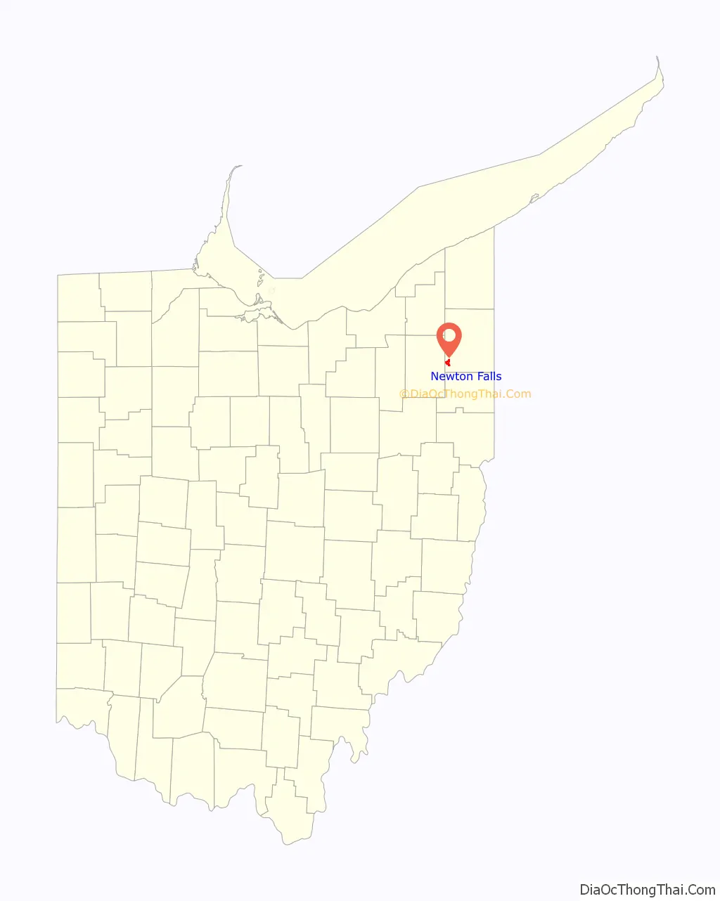
Newton Falls location map. Where is Newton Falls village?
History
It is believed that early property owners of Newton Township spent time in Newtown, Connecticut before departing for the Ohio Country and that the name Newton may be a corruption of Newtown. The village’s name stems from its location on the falls on the Mahoning River. It grew in to a home of the steel manufacturing industry, as did much of the region, aided by its location along the river and the proximity of the nearby Ravenna Training and Logistics Site.
On May 31, 1985, an F5 tornado struck the city as part of the 1985 United States-Canadian tornado outbreak, a deadly series of tornadoes that swept through Ohio, Pennsylvania, New York, and Ontario. The tornado that hit Newton Falls was the only F5 in Ohio that day, and damaged most of the downtown, destroying many homes and businesses, and damaging the senior and junior high schools (it destroyed the gymnasium and rendered the junior high unusable). There were between 70 and 80 injuries, and 400 families were left homeless. The Ohio Army National Guard credited warning sirens for the lack of fatalities. A monument was erected in 2022 memorializing the devastation. It is situated at the corner of Broad and Center Streets.
On July 6, 2012, the city was shaken by a shooting rampage in the East River Gardens apartment complex. Robert Brazzon murdered four people, including a 15-year-old boy, before taking his own life in a city cemetery.
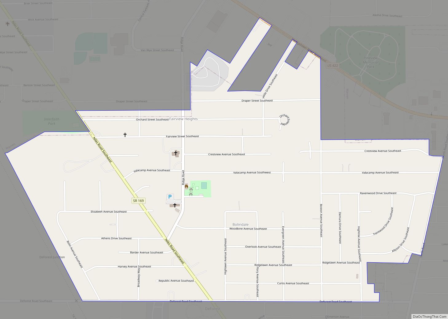
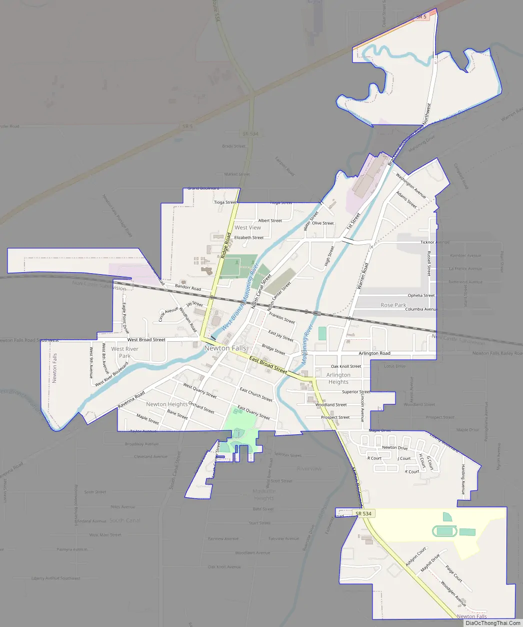
Newton Falls Road Map
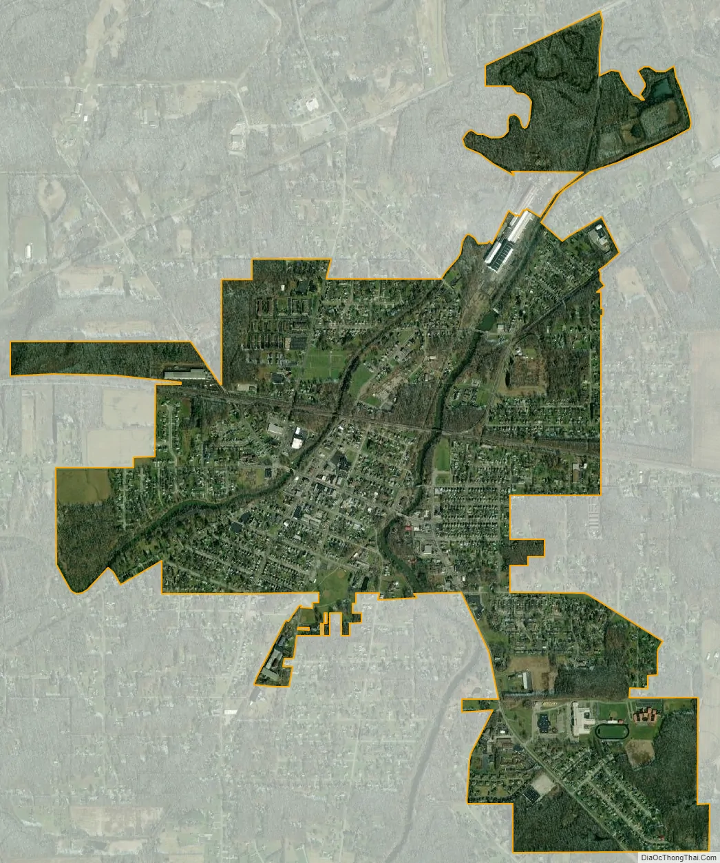
Newton Falls city Satellite Map
Geography
According to the United States Census Bureau, the village has a total area of 2.39 square miles (6.19 km), of which 2.31 square miles (5.98 km) is land and 0.08 square miles (0.21 km) is water.
The Mahoning River flows through Newton Falls.
See also
Map of Ohio State and its subdivision:- Adams
- Allen
- Ashland
- Ashtabula
- Athens
- Auglaize
- Belmont
- Brown
- Butler
- Carroll
- Champaign
- Clark
- Clermont
- Clinton
- Columbiana
- Coshocton
- Crawford
- Cuyahoga
- Darke
- Defiance
- Delaware
- Erie
- Fairfield
- Fayette
- Franklin
- Fulton
- Gallia
- Geauga
- Greene
- Guernsey
- Hamilton
- Hancock
- Hardin
- Harrison
- Henry
- Highland
- Hocking
- Holmes
- Huron
- Jackson
- Jefferson
- Knox
- Lake
- Lake Erie
- Lawrence
- Licking
- Logan
- Lorain
- Lucas
- Madison
- Mahoning
- Marion
- Medina
- Meigs
- Mercer
- Miami
- Monroe
- Montgomery
- Morgan
- Morrow
- Muskingum
- Noble
- Ottawa
- Paulding
- Perry
- Pickaway
- Pike
- Portage
- Preble
- Putnam
- Richland
- Ross
- Sandusky
- Scioto
- Seneca
- Shelby
- Stark
- Summit
- Trumbull
- Tuscarawas
- Union
- Van Wert
- Vinton
- Warren
- Washington
- Wayne
- Williams
- Wood
- Wyandot
- Alabama
- Alaska
- Arizona
- Arkansas
- California
- Colorado
- Connecticut
- Delaware
- District of Columbia
- Florida
- Georgia
- Hawaii
- Idaho
- Illinois
- Indiana
- Iowa
- Kansas
- Kentucky
- Louisiana
- Maine
- Maryland
- Massachusetts
- Michigan
- Minnesota
- Mississippi
- Missouri
- Montana
- Nebraska
- Nevada
- New Hampshire
- New Jersey
- New Mexico
- New York
- North Carolina
- North Dakota
- Ohio
- Oklahoma
- Oregon
- Pennsylvania
- Rhode Island
- South Carolina
- South Dakota
- Tennessee
- Texas
- Utah
- Vermont
- Virginia
- Washington
- West Virginia
- Wisconsin
- Wyoming