North Canton is a city in central Stark County, Ohio, United States. The population was 17,842 at the 2020 census. It is a suburb of the Canton–Massillon metropolitan area.
| Name: | North Canton city |
|---|---|
| LSAD Code: | 25 |
| LSAD Description: | city (suffix) |
| State: | Ohio |
| County: | Stark County |
| Elevation: | 1,161 ft (354 m) |
| Total Area: | 6.40 sq mi (16.57 km²) |
| Land Area: | 6.40 sq mi (16.57 km²) |
| Water Area: | 0.00 sq mi (0.00 km²) |
| Total Population: | 17,842 |
| Population Density: | 2,788.25/sq mi (1,076.50/km²) |
| ZIP code: | 44709, 44720, 44799 |
| Area code: | 330 |
| FIPS code: | 3956294 |
| GNISfeature ID: | 1065163 |
| Website: | http://northcantonohio.gov/ |
Online Interactive Map
Click on ![]() to view map in "full screen" mode.
to view map in "full screen" mode.
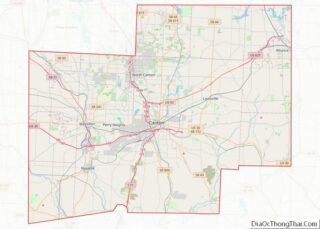
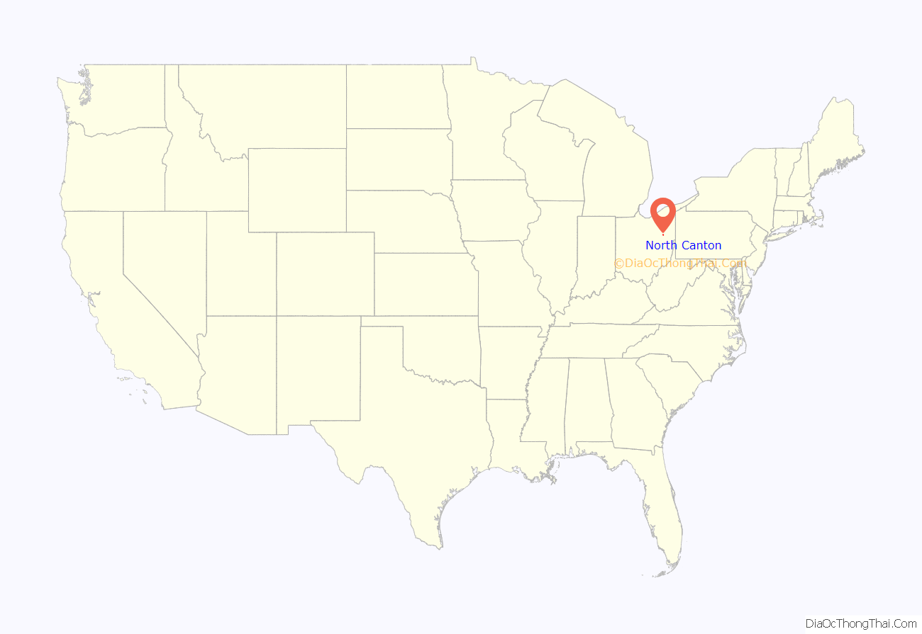
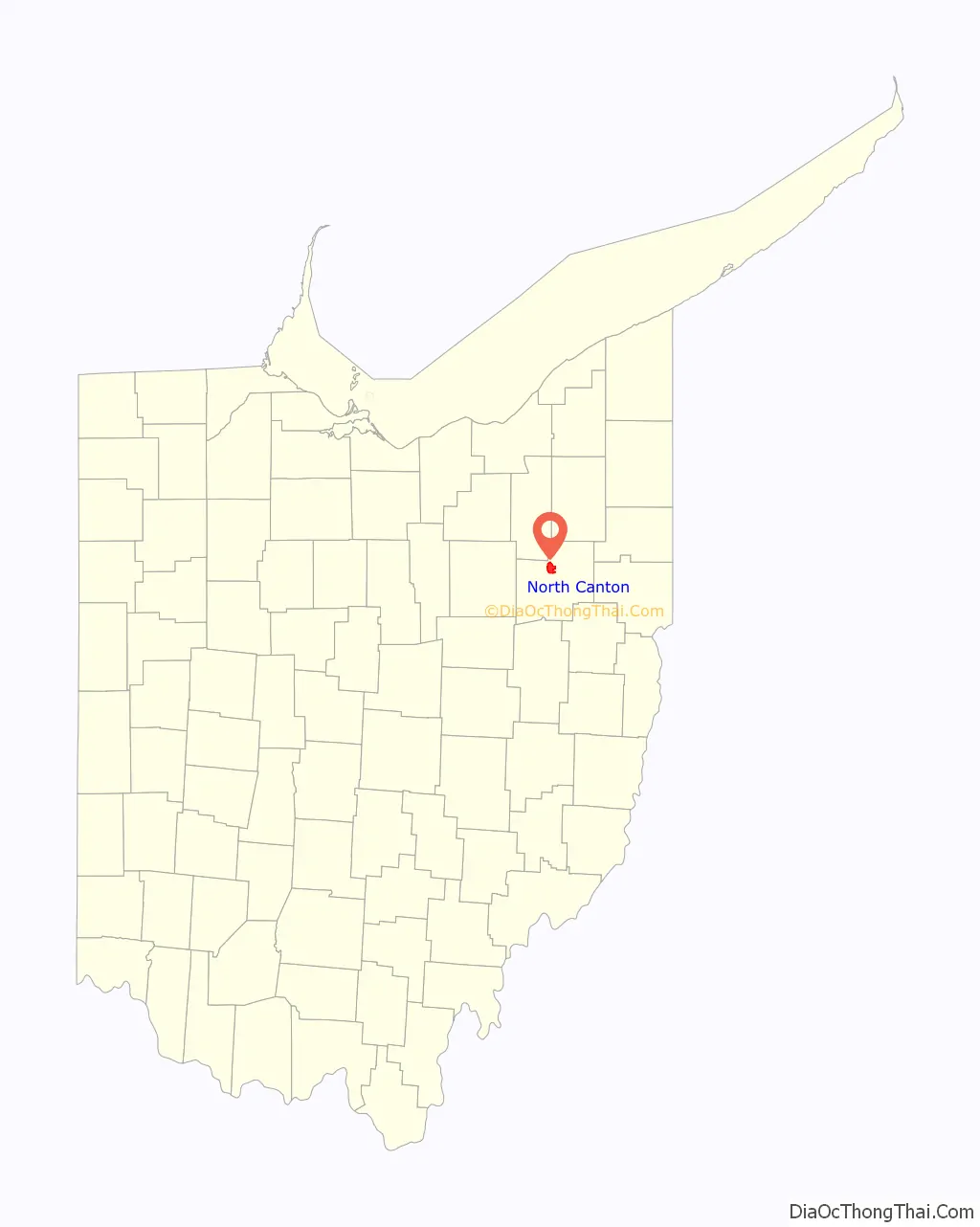
North Canton location map. Where is North Canton city?
History
In 1831, the Community of North Canton first began as the Village of New Berlin. Residents were primarily of German descent. William H. “Boss” Hoover moved his tannery business from the family farm to the center of the North Canton village in 1873. In 1908, Hoover began manufacturing vacuum cleaners. During World War I, it became unfashionable to be associated with anything German so in 1918, the community changed the name of the village to North Canton. The Hoover Company became the world’s largest manufacturer of vacuum cleaners in 1933. The North Canton Jaycees were formed in 1951. In 2007, the Hoover Company officially shut down. The Hoover Company’s old building was bought in 2010 for residential, educational, and recreational purposes. The old Hoover Company building was sold by sections in 2013 to be transformed into a mall and apartments.
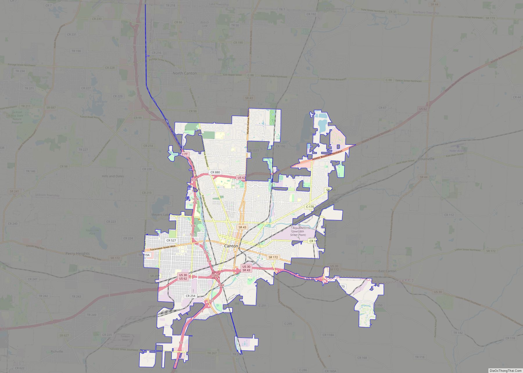
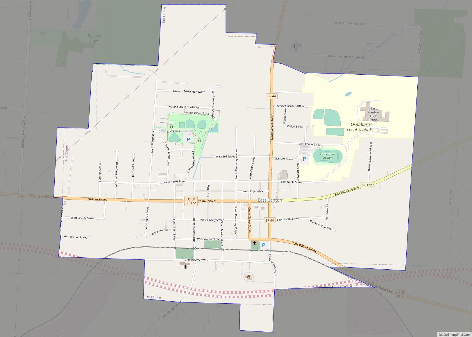
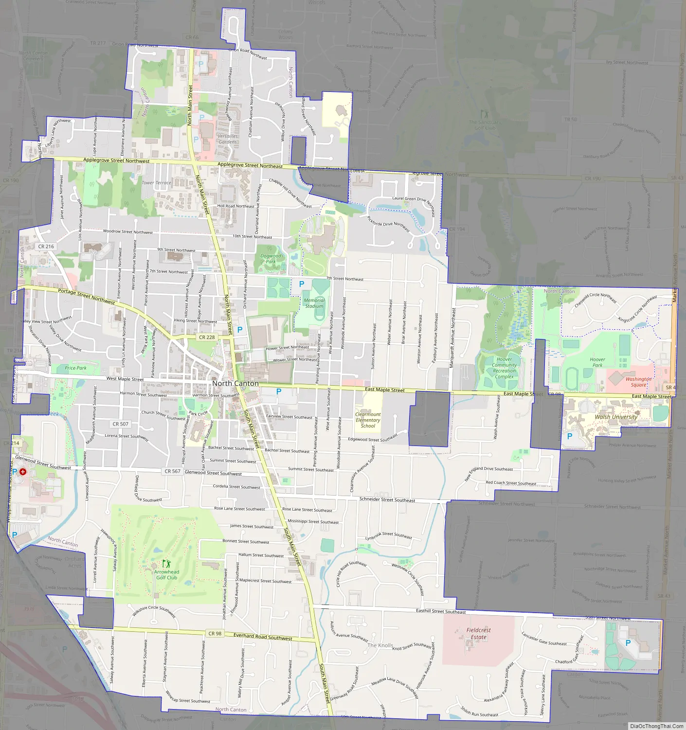
North Canton Road Map
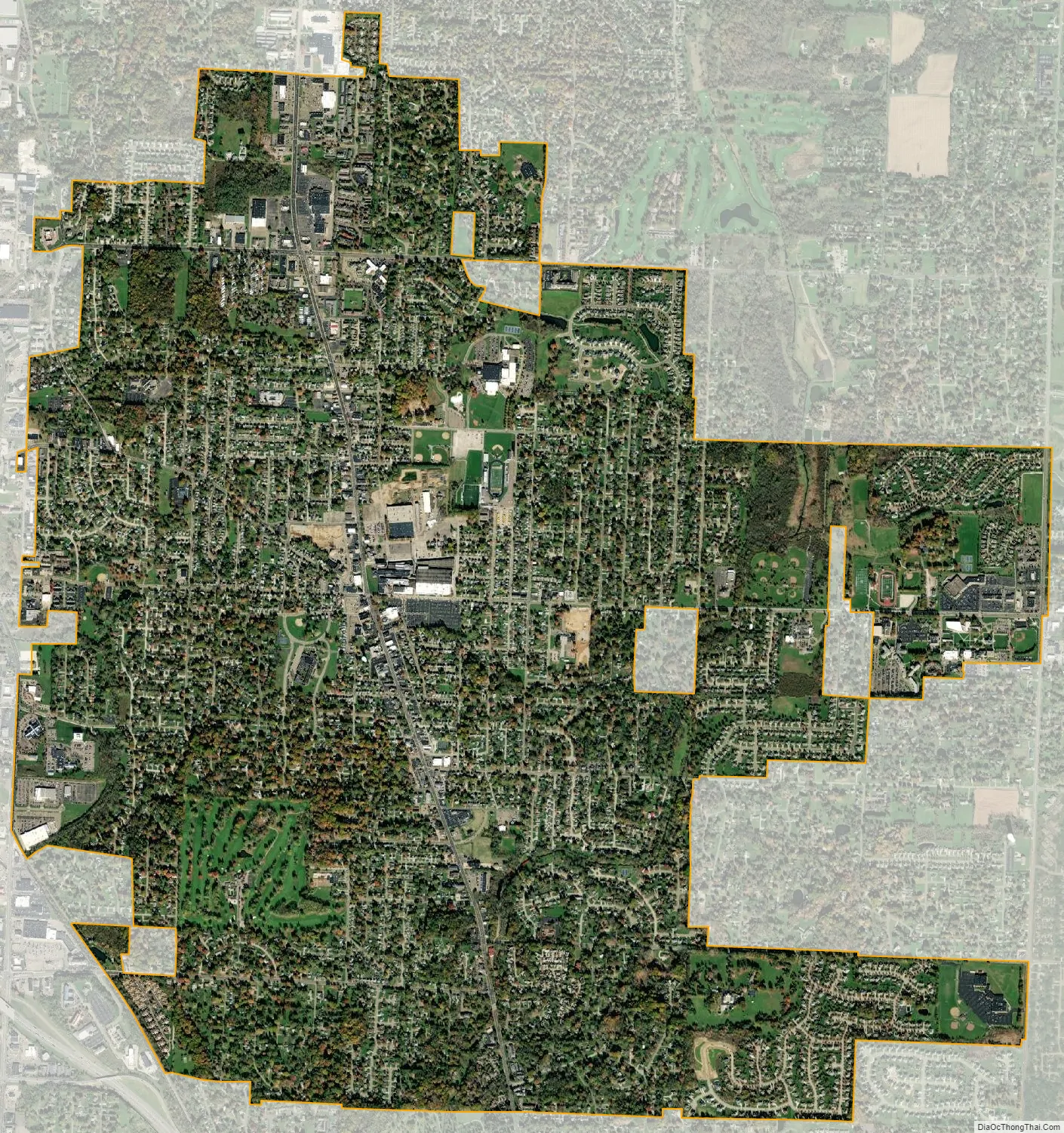
North Canton city Satellite Map
Geography
The West Branch of Nimishillen Creek flows through the city.
According to the United States Census Bureau, the city has a total area of 6.40 square miles (16.58 km), all land.
See also
Map of Ohio State and its subdivision:- Adams
- Allen
- Ashland
- Ashtabula
- Athens
- Auglaize
- Belmont
- Brown
- Butler
- Carroll
- Champaign
- Clark
- Clermont
- Clinton
- Columbiana
- Coshocton
- Crawford
- Cuyahoga
- Darke
- Defiance
- Delaware
- Erie
- Fairfield
- Fayette
- Franklin
- Fulton
- Gallia
- Geauga
- Greene
- Guernsey
- Hamilton
- Hancock
- Hardin
- Harrison
- Henry
- Highland
- Hocking
- Holmes
- Huron
- Jackson
- Jefferson
- Knox
- Lake
- Lake Erie
- Lawrence
- Licking
- Logan
- Lorain
- Lucas
- Madison
- Mahoning
- Marion
- Medina
- Meigs
- Mercer
- Miami
- Monroe
- Montgomery
- Morgan
- Morrow
- Muskingum
- Noble
- Ottawa
- Paulding
- Perry
- Pickaway
- Pike
- Portage
- Preble
- Putnam
- Richland
- Ross
- Sandusky
- Scioto
- Seneca
- Shelby
- Stark
- Summit
- Trumbull
- Tuscarawas
- Union
- Van Wert
- Vinton
- Warren
- Washington
- Wayne
- Williams
- Wood
- Wyandot
- Alabama
- Alaska
- Arizona
- Arkansas
- California
- Colorado
- Connecticut
- Delaware
- District of Columbia
- Florida
- Georgia
- Hawaii
- Idaho
- Illinois
- Indiana
- Iowa
- Kansas
- Kentucky
- Louisiana
- Maine
- Maryland
- Massachusetts
- Michigan
- Minnesota
- Mississippi
- Missouri
- Montana
- Nebraska
- Nevada
- New Hampshire
- New Jersey
- New Mexico
- New York
- North Carolina
- North Dakota
- Ohio
- Oklahoma
- Oregon
- Pennsylvania
- Rhode Island
- South Carolina
- South Dakota
- Tennessee
- Texas
- Utah
- Vermont
- Virginia
- Washington
- West Virginia
- Wisconsin
- Wyoming