Northwood is a city and eastern suburb in Wood County, Ohio, United States, within the Toledo metropolitan area. The population was 5,265 at the 2010 census.
| Name: | Northwood city |
|---|---|
| LSAD Code: | 25 |
| LSAD Description: | city (suffix) |
| State: | Ohio |
| County: | Wood County |
| Elevation: | 614 ft (187 m) |
| Total Area: | 8.57 sq mi (22.20 km²) |
| Land Area: | 8.56 sq mi (22.16 km²) |
| Water Area: | 0.01 sq mi (0.03 km²) |
| Total Population: | 5,160 |
| Population Density: | 603.02/sq mi (232.82/km²) |
| ZIP code: | 43619 |
| Area code: | 419 |
| FIPS code: | 3957190 |
| GNISfeature ID: | 1049027 |
| Website: | http://www.ci.northwood.oh.us/ |
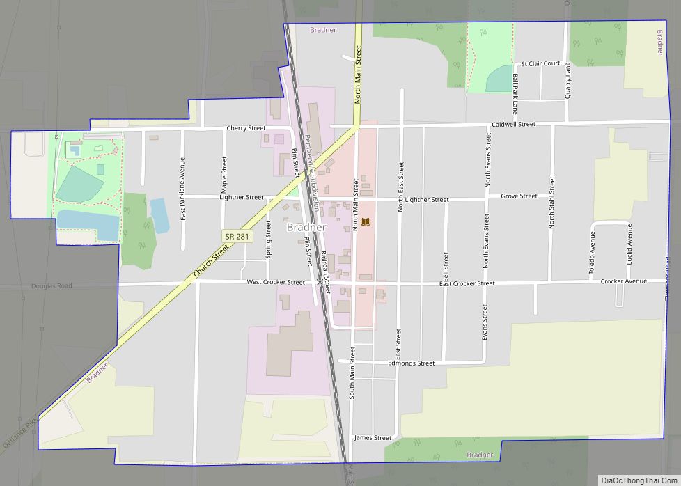
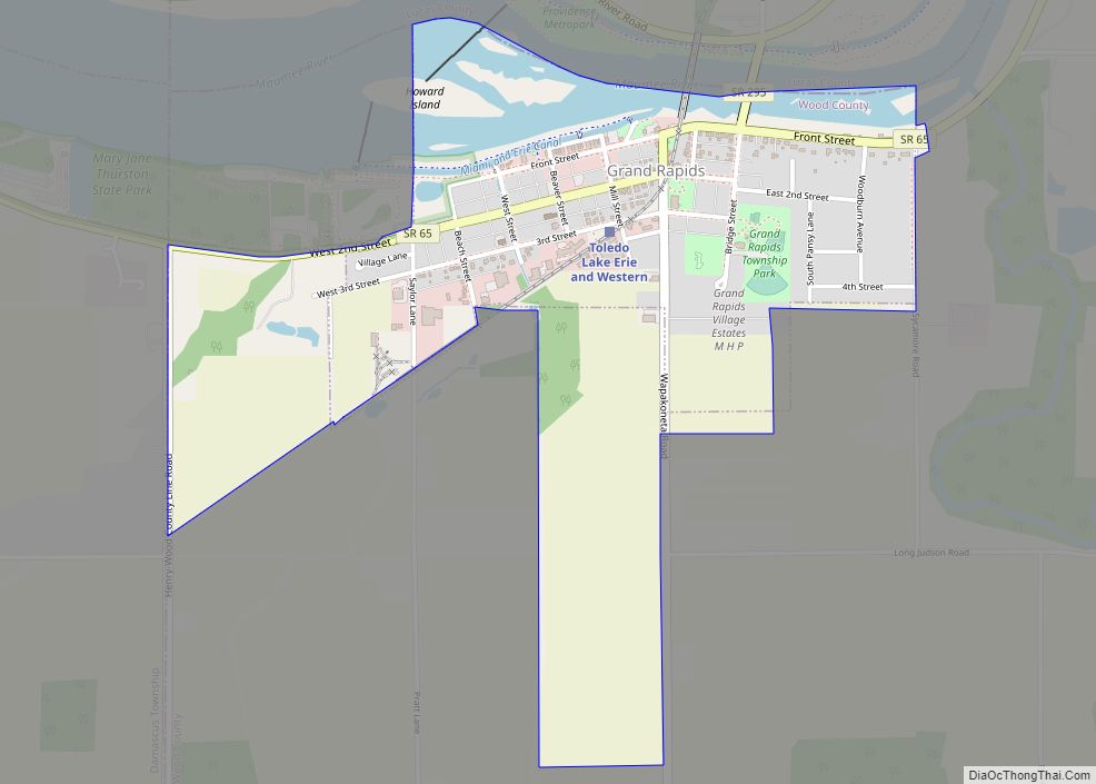
Online Interactive Map
Click on ![]() to view map in "full screen" mode.
to view map in "full screen" mode.
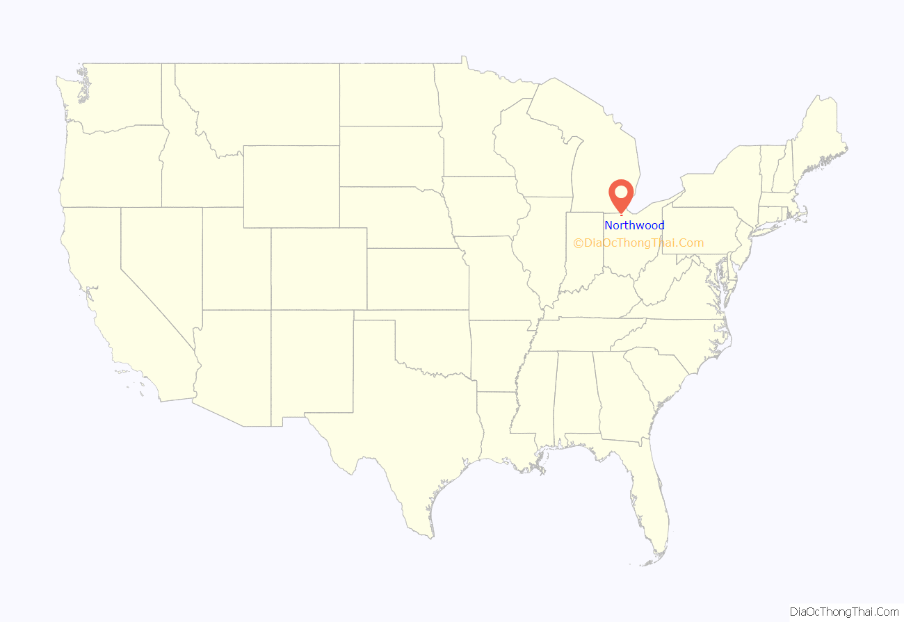
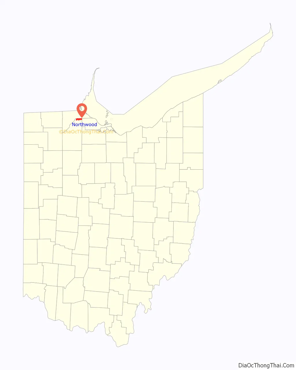
Northwood location map. Where is Northwood city?
History
Northwood was originally Ross Township. It was the northernmost township in Wood County from its establishment on April 18, 1874 until December 1, 1962. Farms, gardens, orchards, and railroads covered the area located just south of east Toledo. In 1898 Edward Ford’s glass factory was built along the Maumee River, which ultimately led to the incorporation of the village of Rossford in 1939 within the western portion of the township. Ross Township was then divided so that Rossford Township would serve as a barrier between Rossford and the remaining Ross Township. On December 1, 1962, Ross Township ceased to exist when it became incorporated as the city of Northwood, so aptly named because of its location at the top of Wood County. With its departure, Wood County dropped its number of townships from 20 to 19.
The original boundary of Ross Township can be observed as follows: beginning at the southeastern corner of Northwood, thence westward along the southern border to Rossford, thence westward along the line of Elm Tree Street to the Maumee River, thence northeastward and eastward along the Lucas County border until the Ottawa County border, and thence southward to the point of beginning.
Northwood Road Map
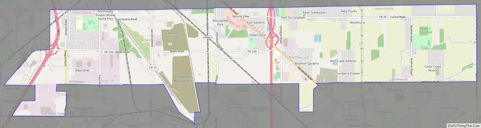
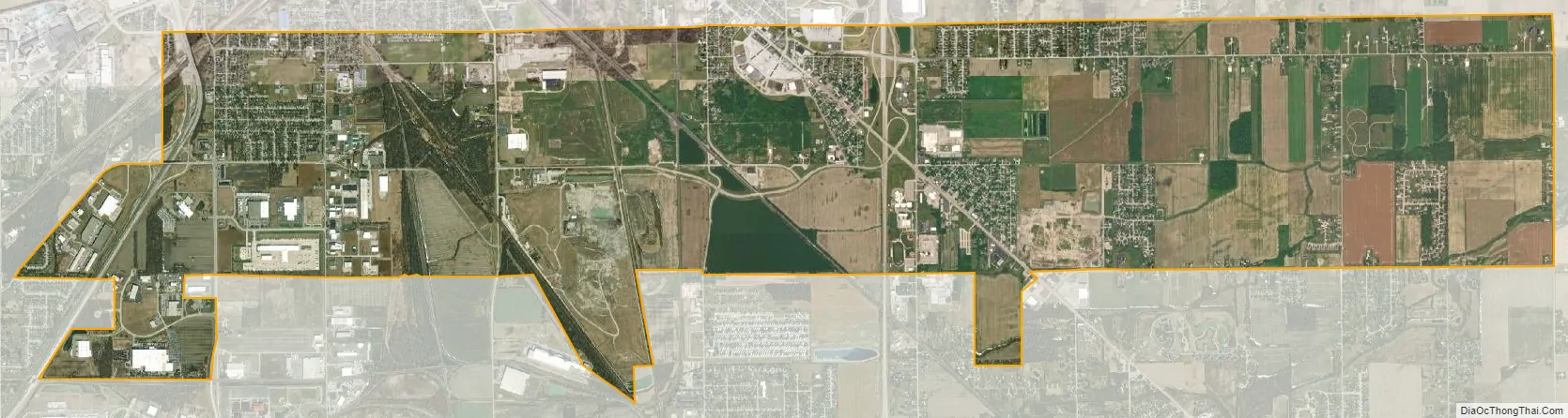
Northwood city Satellite Map
Geography
Northwood is located at 41°36′39″N 83°29′57″W / 41.61083°N 83.49917°W / 41.61083; -83.49917 (41.610882, -83.499040).
According to the United States Census Bureau, the city has a total area of 8.53 square miles (22.09 km), of which 8.52 square miles (22.07 km) is land and 0.01 square miles (0.03 km) is water.
Adjoining Municipalities and Townships
- Rossford – West
- Perrysburg Township – South-West
- Lake Township – South
- Toledo – North
- Ottawa County (Curtice) – East
- Oregon – North-East
- Walbridge – South
See also
Map of Ohio State and its subdivision:- Adams
- Allen
- Ashland
- Ashtabula
- Athens
- Auglaize
- Belmont
- Brown
- Butler
- Carroll
- Champaign
- Clark
- Clermont
- Clinton
- Columbiana
- Coshocton
- Crawford
- Cuyahoga
- Darke
- Defiance
- Delaware
- Erie
- Fairfield
- Fayette
- Franklin
- Fulton
- Gallia
- Geauga
- Greene
- Guernsey
- Hamilton
- Hancock
- Hardin
- Harrison
- Henry
- Highland
- Hocking
- Holmes
- Huron
- Jackson
- Jefferson
- Knox
- Lake
- Lake Erie
- Lawrence
- Licking
- Logan
- Lorain
- Lucas
- Madison
- Mahoning
- Marion
- Medina
- Meigs
- Mercer
- Miami
- Monroe
- Montgomery
- Morgan
- Morrow
- Muskingum
- Noble
- Ottawa
- Paulding
- Perry
- Pickaway
- Pike
- Portage
- Preble
- Putnam
- Richland
- Ross
- Sandusky
- Scioto
- Seneca
- Shelby
- Stark
- Summit
- Trumbull
- Tuscarawas
- Union
- Van Wert
- Vinton
- Warren
- Washington
- Wayne
- Williams
- Wood
- Wyandot
- Alabama
- Alaska
- Arizona
- Arkansas
- California
- Colorado
- Connecticut
- Delaware
- District of Columbia
- Florida
- Georgia
- Hawaii
- Idaho
- Illinois
- Indiana
- Iowa
- Kansas
- Kentucky
- Louisiana
- Maine
- Maryland
- Massachusetts
- Michigan
- Minnesota
- Mississippi
- Missouri
- Montana
- Nebraska
- Nevada
- New Hampshire
- New Jersey
- New Mexico
- New York
- North Carolina
- North Dakota
- Ohio
- Oklahoma
- Oregon
- Pennsylvania
- Rhode Island
- South Carolina
- South Dakota
- Tennessee
- Texas
- Utah
- Vermont
- Virginia
- Washington
- West Virginia
- Wisconsin
- Wyoming