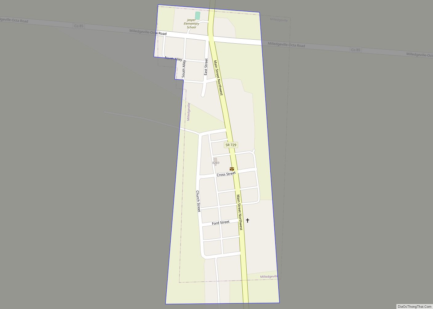
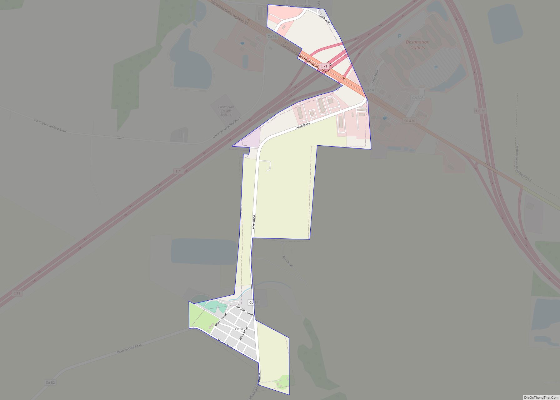
Octa is a village in Fayette County, Ohio, United States, along Rattlesnake Creek. The population was 59 at the 2010 census.
| Name: | Octa village |
|---|---|
| LSAD Code: | 47 |
| LSAD Description: | village (suffix) |
| State: | Ohio |
| County: | Fayette County |
| Elevation: | 1,043 ft (318 m) |
| Total Area: | 0.29 sq mi (0.75 km²) |
| Land Area: | 0.29 sq mi (0.75 km²) |
| Water Area: | 0.00 sq mi (0.00 km²) |
| Total Population: | 58 |
| Population Density: | 200.00/sq mi (77.23/km²) |
| FIPS code: | 3957918 |
| GNISfeature ID: | 1065190 |
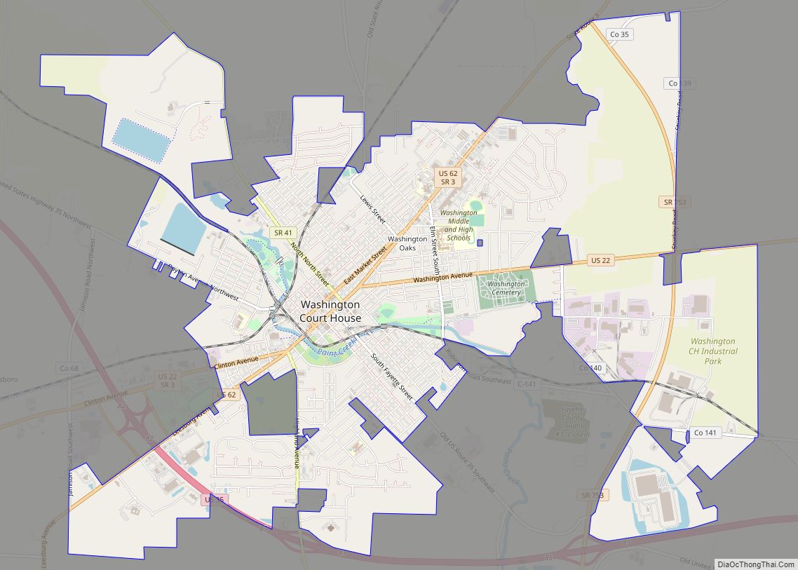
Online Interactive Map
Click on ![]() to view map in "full screen" mode.
to view map in "full screen" mode.
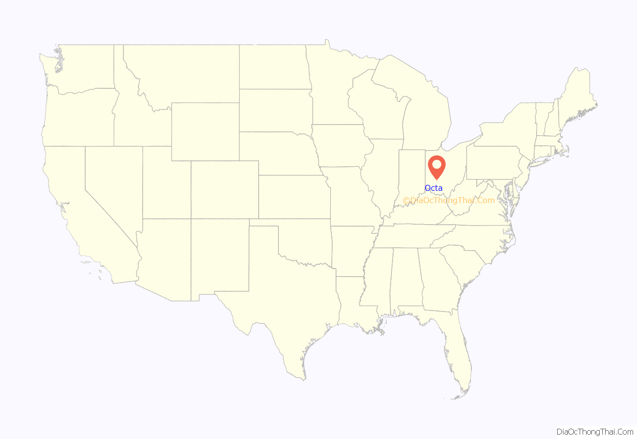
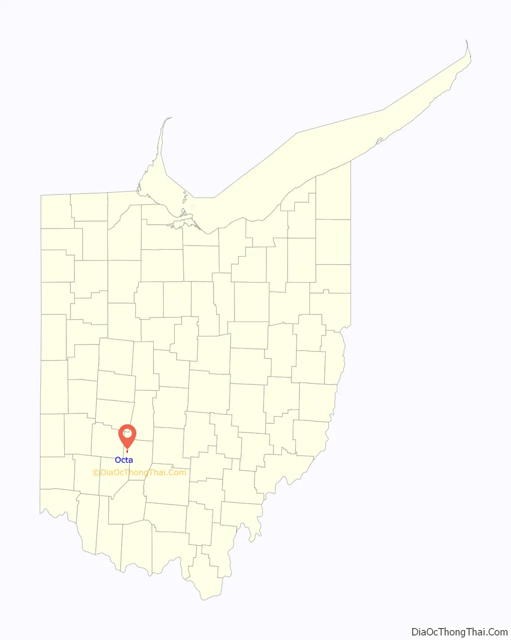
Octa location map. Where is Octa village?
History
Octa was originally called Allentown, and under the latter name was laid out by Elijah Allen, and named for him. The present name honors one Miss Octa Barnes. A post office called Octa was established in 1882, and remained in operation until 1929.
Octa Road Map
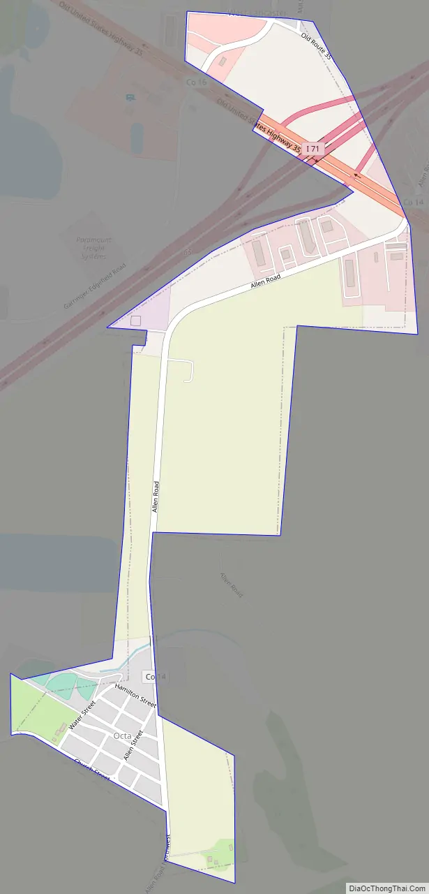
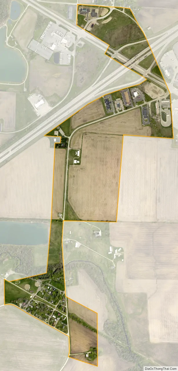
Octa city Satellite Map
Geography
Octa is located at 39°36′32″N 83°36′47″W / 39.60889°N 83.61306°W / 39.60889; -83.61306 (39.608877, -83.613192).
According to the United States Census Bureau, the village has a total area of 0.28 square miles (0.73 km), all of it land.
See also
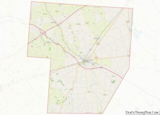
Map of Ohio State and its subdivision:- Adams
- Allen
- Ashland
- Ashtabula
- Athens
- Auglaize
- Belmont
- Brown
- Butler
- Carroll
- Champaign
- Clark
- Clermont
- Clinton
- Columbiana
- Coshocton
- Crawford
- Cuyahoga
- Darke
- Defiance
- Delaware
- Erie
- Fairfield
- Fayette
- Franklin
- Fulton
- Gallia
- Geauga
- Greene
- Guernsey
- Hamilton
- Hancock
- Hardin
- Harrison
- Henry
- Highland
- Hocking
- Holmes
- Huron
- Jackson
- Jefferson
- Knox
- Lake
- Lake Erie
- Lawrence
- Licking
- Logan
- Lorain
- Lucas
- Madison
- Mahoning
- Marion
- Medina
- Meigs
- Mercer
- Miami
- Monroe
- Montgomery
- Morgan
- Morrow
- Muskingum
- Noble
- Ottawa
- Paulding
- Perry
- Pickaway
- Pike
- Portage
- Preble
- Putnam
- Richland
- Ross
- Sandusky
- Scioto
- Seneca
- Shelby
- Stark
- Summit
- Trumbull
- Tuscarawas
- Union
- Van Wert
- Vinton
- Warren
- Washington
- Wayne
- Williams
- Wood
- Wyandot
- Alabama
- Alaska
- Arizona
- Arkansas
- California
- Colorado
- Connecticut
- Delaware
- District of Columbia
- Florida
- Georgia
- Hawaii
- Idaho
- Illinois
- Indiana
- Iowa
- Kansas
- Kentucky
- Louisiana
- Maine
- Maryland
- Massachusetts
- Michigan
- Minnesota
- Mississippi
- Missouri
- Montana
- Nebraska
- Nevada
- New Hampshire
- New Jersey
- New Mexico
- New York
- North Carolina
- North Dakota
- Ohio
- Oklahoma
- Oregon
- Pennsylvania
- Rhode Island
- South Carolina
- South Dakota
- Tennessee
- Texas
- Utah
- Vermont
- Virginia
- Washington
- West Virginia
- Wisconsin
- Wyoming