Washington Court House (often abbreviated as Washington C.H.) is a city in Union Township, Fayette County, Ohio. It is the county seat of Fayette County and is located between Cincinnati and Columbus. The population grew almost 1.5% from 2010 to 2020 approaching 14,401 people according to the 2020 census results. The area was initially settled by Virginia veterans of the American Revolution, who received the land from the government as payment for their service in the war.
| Name: | Washington Court House city |
|---|---|
| LSAD Code: | 25 |
| LSAD Description: | city (suffix) |
| State: | Ohio |
| County: | Fayette County |
| Total Area: | 8.98 sq mi (23.27 km²) |
| Land Area: | 8.92 sq mi (23.11 km²) |
| Water Area: | 0.06 sq mi (0.16 km²) |
| Total Population: | 14,496 |
| Population Density: | 1,613.74/sq mi (623.05/km²) |
| ZIP code: | 43160 |
| Area code: | 740 |
| FIPS code: | 3981718 |
| Website: | http://www.cityofwch.com/ |
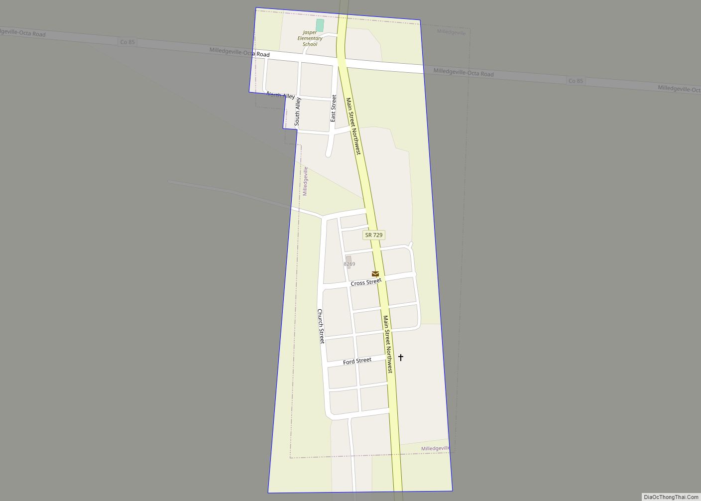
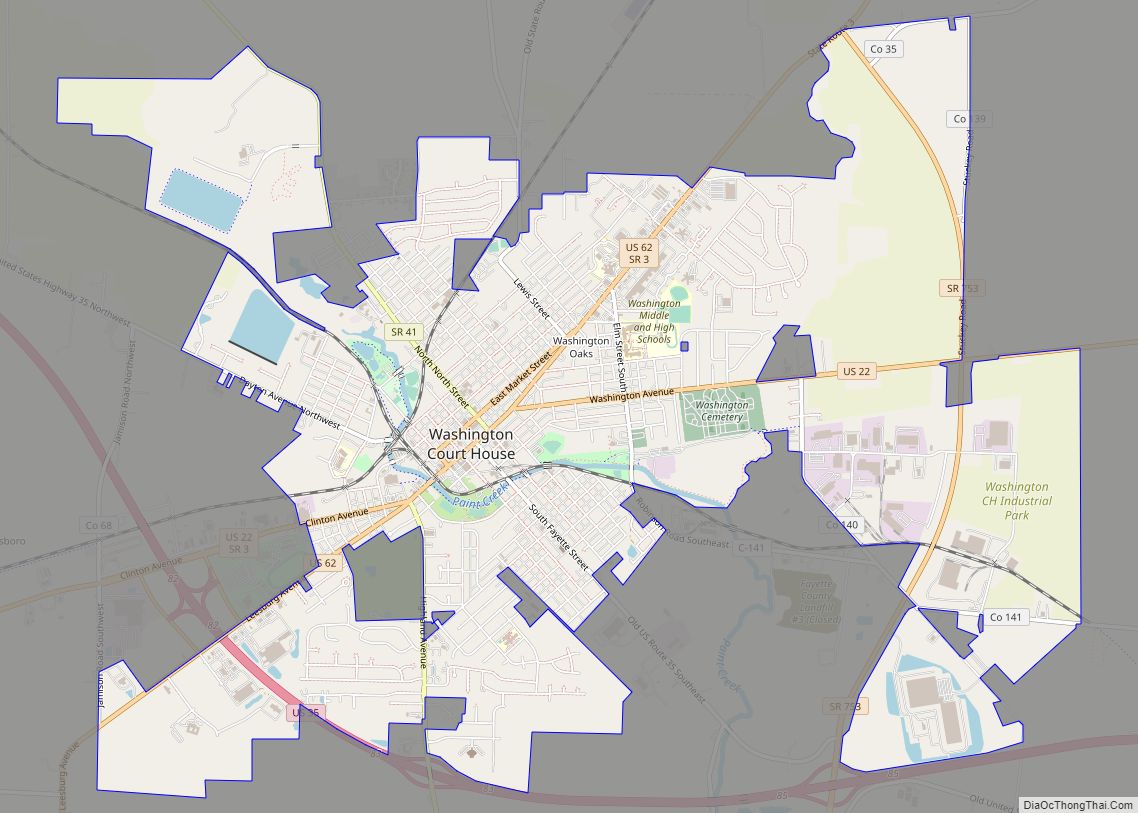
Online Interactive Map
Click on ![]() to view map in "full screen" mode.
to view map in "full screen" mode.
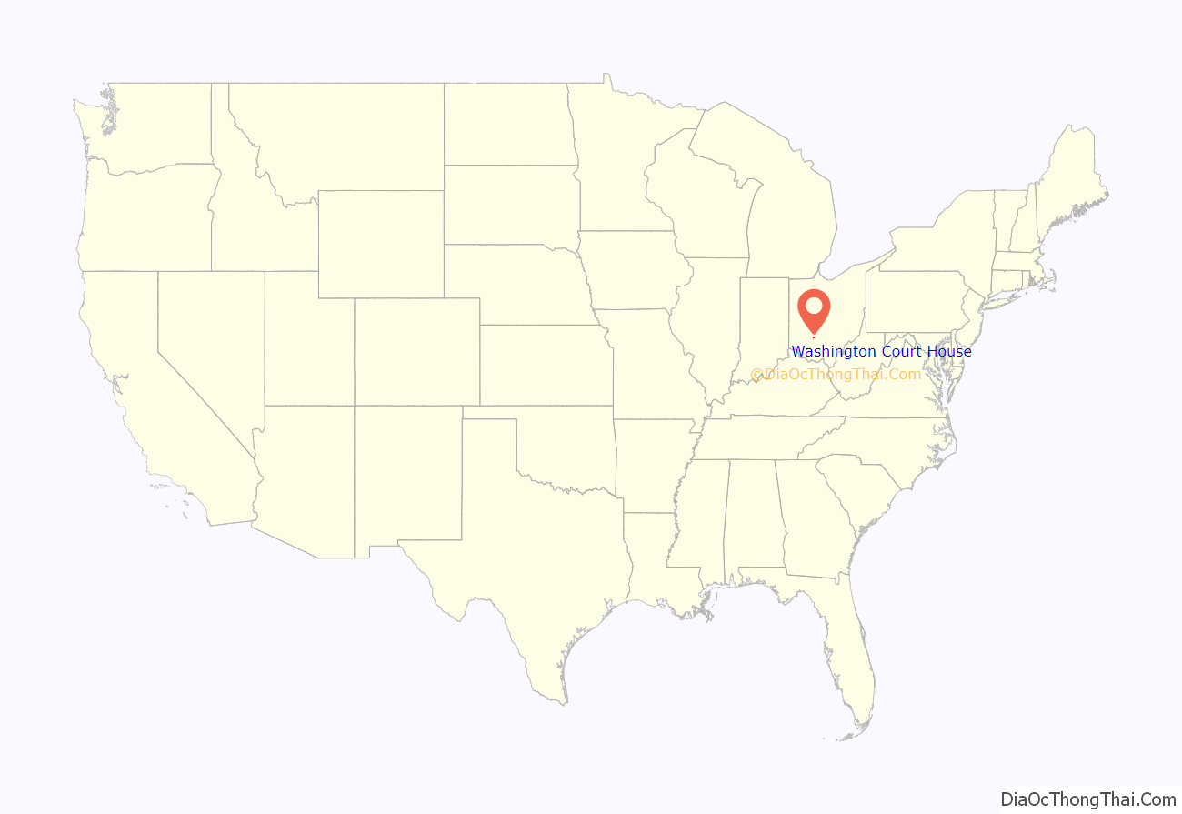
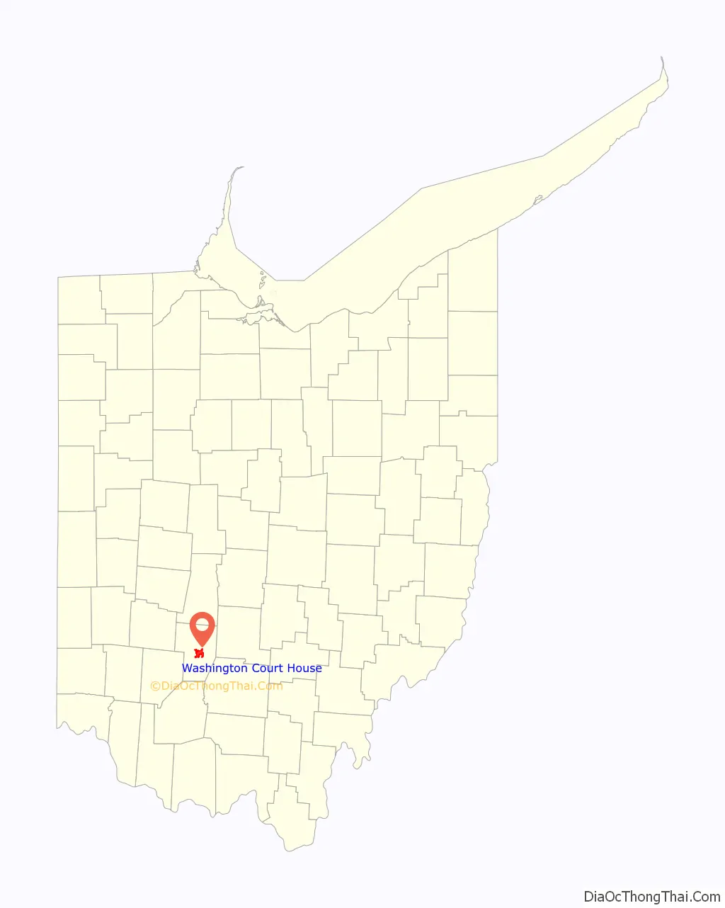
Washington Court House location map. Where is Washington Court House city?
History
Washington Court House’s first settlers appear to have been Edward Smith Sr., and his family, who emigrated from Pennsylvania in 1810. Smith and his family constructed a crude house in the thick woodlands near Paint Creek, but their efforts to clear the land were interrupted by his departure for military service in the War of 1812. Comparatively soon after returning from his martial pursuits, Smith drowned while attempting to cross a flooded creek, but his widow and 10 children survived and prospered despite the absence of their patriarch. Smith’s descendants remained prominent in Fayette County for more than a century after his arrival from Pennsylvania, although many had left Washington Court House for other parts of the county. A family residence still stands on U.S. Route 62 not far outside the city’s eastern boundary.
In 1833, Washington Court House (then known as Washington) contained a printing office, seven stores, two taverns, two groceries, a schoolhouse, a meeting house, and about 70 residential houses.
Numerous locations in the city are listed on the National Register of Historic Places. Downtown, the courthouse square has been named a historic district, and a similar designation has been accorded the city cemetery. Nine individual buildings are separately listed on the register: Judy Chapel at the cemetery, the former Washington School, the Fayette County Courthouse, the former William Burnett House (no longer standing), and the Barney Kelley, Jacob Light, Rawlings-Brownell, Robinson-Pavey, and Morris Sharp houses.
Streets within the downtown part of the city around the courthouse building are arranged northeast–southwest and northwest–southeast, rather than east–west and north–south, so that each side of the courthouse receives some sunlight every day of the year.
1894 riot
On October 16, 1894, a crowd gathered outside the Fayette County Courthouse with intent to lynch William “Jasper” Dolby, a black man who had been convicted of sexually assaulting a white woman. Ohio Governor William McKinley called out the militia to subdue the crowd. On October 17, the crowd rushed the courthouse doors and was warned to “disperse or be fired upon.” They ignored the warning and continued to batter the doors.
Colonel Alonzo B. Coit ordered his troops to fire through the courthouse doors, killing five men. Colonel Coit was indicted for manslaughter, but was acquitted at trial. After the trial, Governor McKinley stated, “The law was upheld as it should have been… but in this case at fearful cost… Lynching cannot be tolerated in Ohio.” The courthouse doors were not repaired or replaced and the bullet holes from the 1894 riot are still present in the southeast doors.
Washington Court House Road Map
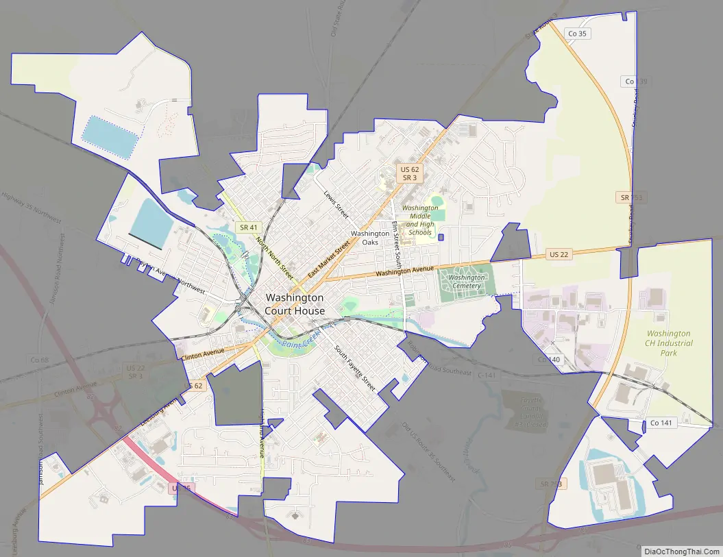
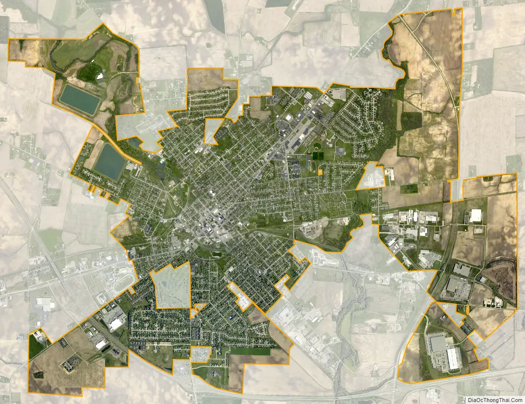
Washington Court House city Satellite Map
Geography
Washington Court House is located at 39°32′11″N 83°26′8″W / 39.53639°N 83.43556°W / 39.53639; -83.43556, along Paint Creek.
According to the United States Census Bureau, the city has a total area of 8.80 square miles (22.79 km), of which 8.74 square miles (22.64 km) is land and 0.06 square miles (0.16 km) is covered by water.
Climate
See also
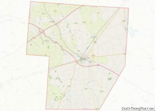
Map of Ohio State and its subdivision:- Adams
- Allen
- Ashland
- Ashtabula
- Athens
- Auglaize
- Belmont
- Brown
- Butler
- Carroll
- Champaign
- Clark
- Clermont
- Clinton
- Columbiana
- Coshocton
- Crawford
- Cuyahoga
- Darke
- Defiance
- Delaware
- Erie
- Fairfield
- Fayette
- Franklin
- Fulton
- Gallia
- Geauga
- Greene
- Guernsey
- Hamilton
- Hancock
- Hardin
- Harrison
- Henry
- Highland
- Hocking
- Holmes
- Huron
- Jackson
- Jefferson
- Knox
- Lake
- Lake Erie
- Lawrence
- Licking
- Logan
- Lorain
- Lucas
- Madison
- Mahoning
- Marion
- Medina
- Meigs
- Mercer
- Miami
- Monroe
- Montgomery
- Morgan
- Morrow
- Muskingum
- Noble
- Ottawa
- Paulding
- Perry
- Pickaway
- Pike
- Portage
- Preble
- Putnam
- Richland
- Ross
- Sandusky
- Scioto
- Seneca
- Shelby
- Stark
- Summit
- Trumbull
- Tuscarawas
- Union
- Van Wert
- Vinton
- Warren
- Washington
- Wayne
- Williams
- Wood
- Wyandot
- Alabama
- Alaska
- Arizona
- Arkansas
- California
- Colorado
- Connecticut
- Delaware
- District of Columbia
- Florida
- Georgia
- Hawaii
- Idaho
- Illinois
- Indiana
- Iowa
- Kansas
- Kentucky
- Louisiana
- Maine
- Maryland
- Massachusetts
- Michigan
- Minnesota
- Mississippi
- Missouri
- Montana
- Nebraska
- Nevada
- New Hampshire
- New Jersey
- New Mexico
- New York
- North Carolina
- North Dakota
- Ohio
- Oklahoma
- Oregon
- Pennsylvania
- Rhode Island
- South Carolina
- South Dakota
- Tennessee
- Texas
- Utah
- Vermont
- Virginia
- Washington
- West Virginia
- Wisconsin
- Wyoming