Ohio City is a village in Liberty Township, Van Wert County, Ohio, United States. The population was 705 at the 2010 census. It is included within the Van Wert, Ohio Micropolitan Statistical Area.
| Name: | Ohio City village |
|---|---|
| LSAD Code: | 47 |
| LSAD Description: | village (suffix) |
| State: | Ohio |
| County: | Van Wert County |
| Elevation: | 820 ft (250 m) |
| Total Area: | 0.53 sq mi (1.37 km²) |
| Land Area: | 0.53 sq mi (1.37 km²) |
| Water Area: | 0.00 sq mi (0.00 km²) |
| Total Population: | 651 |
| Population Density: | 1,230.62/sq mi (475.12/km²) |
| ZIP code: | 45874 |
| Area code: | 419 |
| FIPS code: | 3958002 |
| GNISfeature ID: | 1065193 |
| Website: | www.villageofohiocity.org |
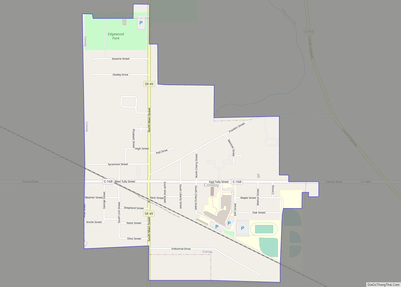
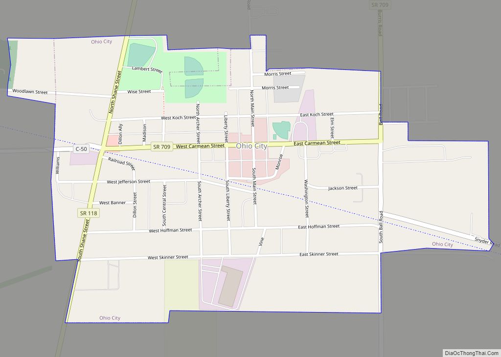
Online Interactive Map
Click on ![]() to view map in "full screen" mode.
to view map in "full screen" mode.
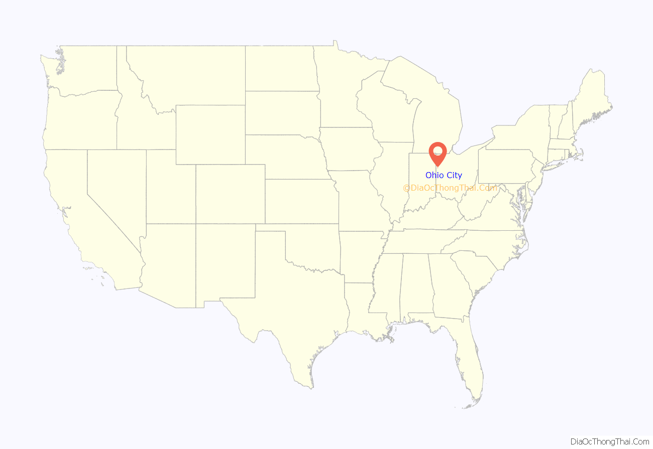
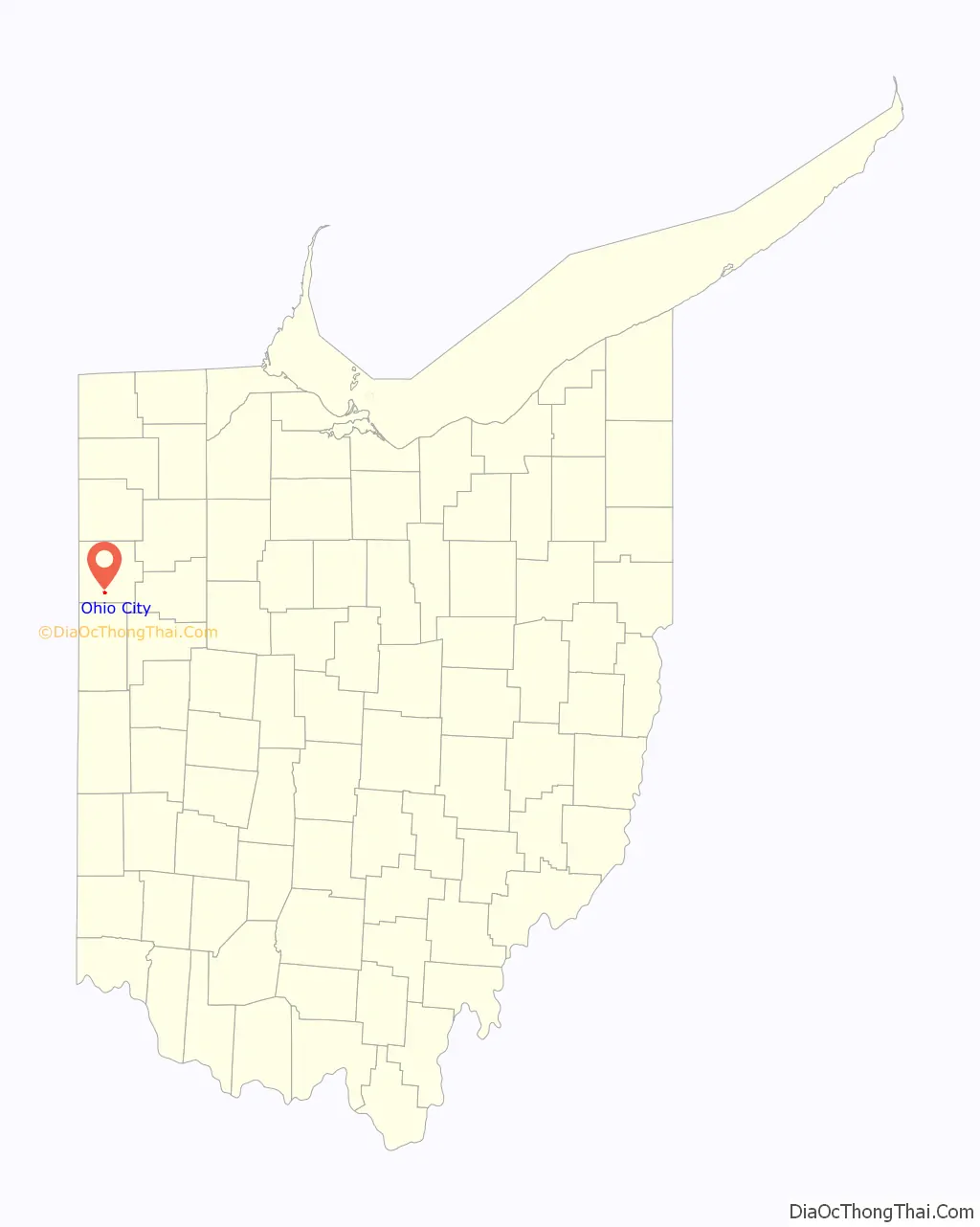
Ohio City location map. Where is Ohio City village?
History
The village was platted on March 4–8, 1876, by Butler, Patterson & Company as Van Wert Junction. On June 1, 1882, a vote was taken with 28 for and 11 against to change the name to Enterprise. The name Enterprise caused much confusion to the post office at the time because there was another Enterprise in Preble County. Again, the name was in need of being changed.
The town council met on June 1, 1890, and a man by the name of Lewis J. Kiggins brought up the subject, and asked the rest of the men if they liked Ohio City. The vote was taken and Ohio City became the new name.
In 1910, Ohio City was a very prosperous town. Being on the junction of several major railroads, its importance allowed it to sport three churches, one union school, two dry goods stores, two hardware stores, one clothing store, two millinery establishments, three hotels, three restaurants, one bakery, four saloons, two shoe shops, one tailor shop, one silversmith shop, one slack barrel factory, one lumber yard, two blacksmith shops, two elevators, one tile factory, one beet dump, two sawmills, one harness shop, one ice-making house, and three railroads all using the centrally located Union Depot.
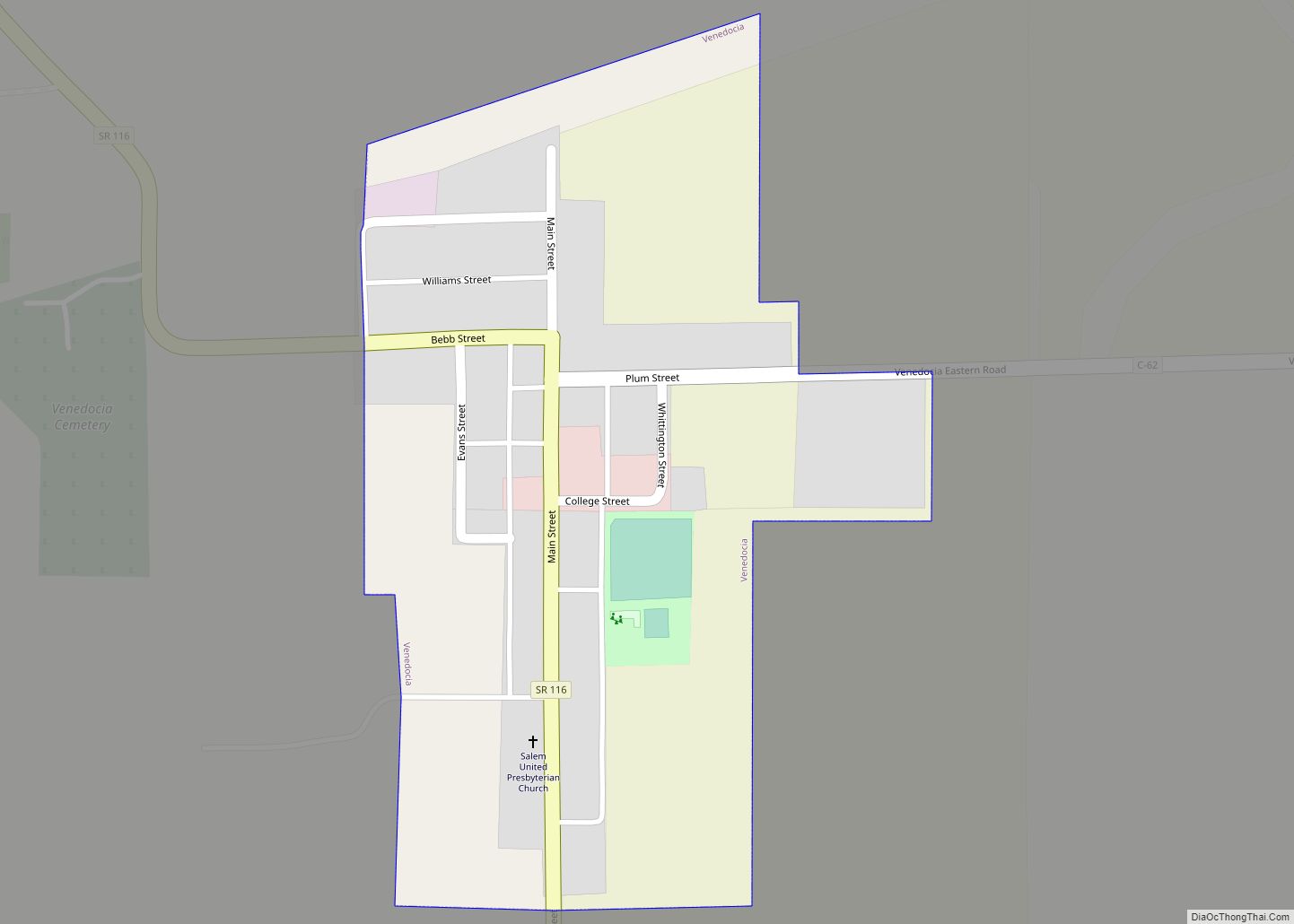
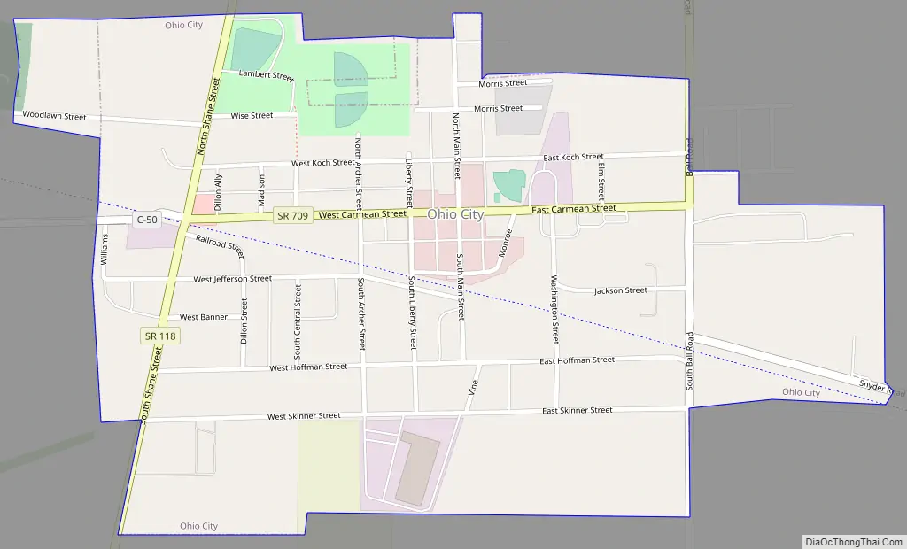
Ohio City Road Map
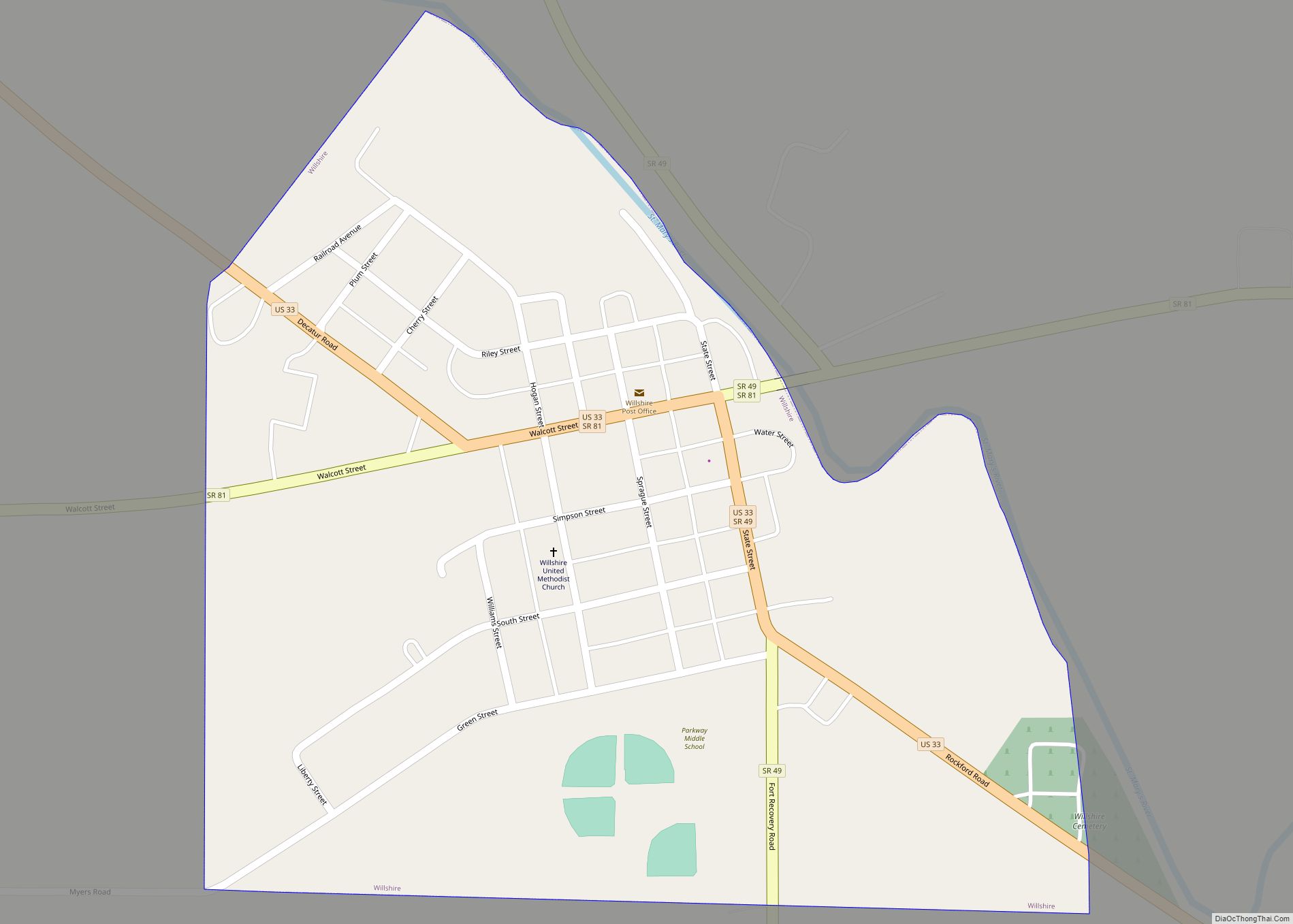
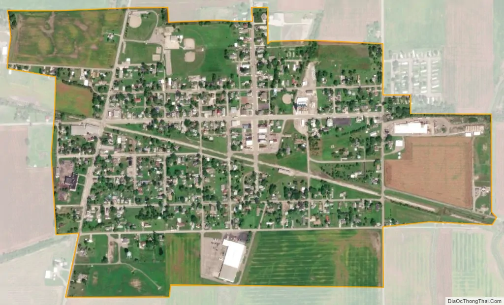
Ohio City city Satellite Map
Geography
Ohio City is located at 40°46′15″N 84°37′2″W / 40.77083°N 84.61722°W / 40.77083; -84.61722 (40.770878, -84.617274).
According to the United States Census Bureau, the village has a total area of 0.53 square miles (1.37 km), all land.
See also
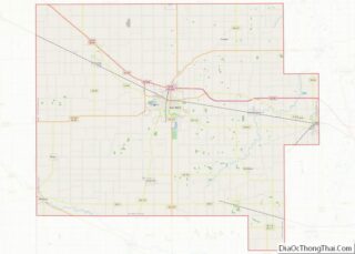
Map of Ohio State and its subdivision:- Adams
- Allen
- Ashland
- Ashtabula
- Athens
- Auglaize
- Belmont
- Brown
- Butler
- Carroll
- Champaign
- Clark
- Clermont
- Clinton
- Columbiana
- Coshocton
- Crawford
- Cuyahoga
- Darke
- Defiance
- Delaware
- Erie
- Fairfield
- Fayette
- Franklin
- Fulton
- Gallia
- Geauga
- Greene
- Guernsey
- Hamilton
- Hancock
- Hardin
- Harrison
- Henry
- Highland
- Hocking
- Holmes
- Huron
- Jackson
- Jefferson
- Knox
- Lake
- Lake Erie
- Lawrence
- Licking
- Logan
- Lorain
- Lucas
- Madison
- Mahoning
- Marion
- Medina
- Meigs
- Mercer
- Miami
- Monroe
- Montgomery
- Morgan
- Morrow
- Muskingum
- Noble
- Ottawa
- Paulding
- Perry
- Pickaway
- Pike
- Portage
- Preble
- Putnam
- Richland
- Ross
- Sandusky
- Scioto
- Seneca
- Shelby
- Stark
- Summit
- Trumbull
- Tuscarawas
- Union
- Van Wert
- Vinton
- Warren
- Washington
- Wayne
- Williams
- Wood
- Wyandot
- Alabama
- Alaska
- Arizona
- Arkansas
- California
- Colorado
- Connecticut
- Delaware
- District of Columbia
- Florida
- Georgia
- Hawaii
- Idaho
- Illinois
- Indiana
- Iowa
- Kansas
- Kentucky
- Louisiana
- Maine
- Maryland
- Massachusetts
- Michigan
- Minnesota
- Mississippi
- Missouri
- Montana
- Nebraska
- Nevada
- New Hampshire
- New Jersey
- New Mexico
- New York
- North Carolina
- North Dakota
- Ohio
- Oklahoma
- Oregon
- Pennsylvania
- Rhode Island
- South Carolina
- South Dakota
- Tennessee
- Texas
- Utah
- Vermont
- Virginia
- Washington
- West Virginia
- Wisconsin
- Wyoming