Orange is a village in eastern Cuyahoga County, Ohio, United States. The population was 3,421 at the 2020 census. An eastern suburb of Cleveland, it is part of the Cleveland metropolitan area.
| Name: | Orange village |
|---|---|
| LSAD Code: | 47 |
| LSAD Description: | village (suffix) |
| State: | Ohio |
| County: | Cuyahoga County |
| Elevation: | 1,158 ft (353 m) |
| Total Area: | 3.83 sq mi (9.91 km²) |
| Land Area: | 3.81 sq mi (9.87 km²) |
| Water Area: | 0.02 sq mi (0.04 km²) |
| Total Population: | 3,421 |
| Population Density: | 898.14/sq mi (346.76/km²) |
| ZIP code: | 44022 |
| Area code: | 440, 216 |
| FIPS code: | 3958604 |
| GNISfeature ID: | 1065211 |
| Website: | http://www.orangevillage.com/ |
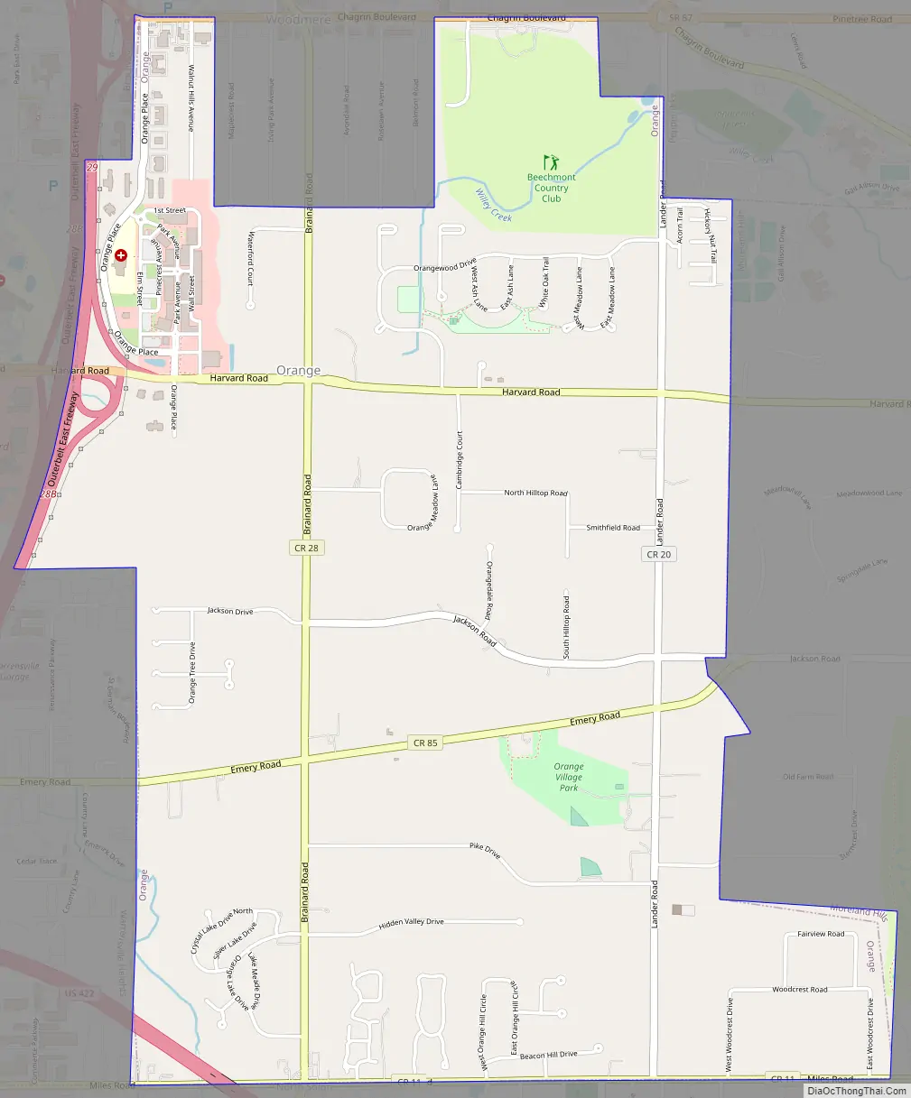
Online Interactive Map
Click on ![]() to view map in "full screen" mode.
to view map in "full screen" mode.
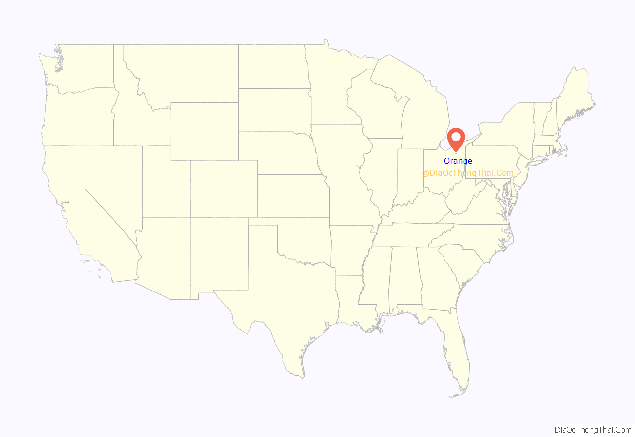
Orange location map. Where is Orange village?
History
Orange Township was settled in 1815 and established as a township in 1820. As part of the settlement of the Connecticut Western Reserve, Serenus Bumett was the first settler in the township. The name “Orange” was chosen because several of the early settlers had migrated from Orange, Connecticut. In 1831, Orange Township was the birthplace of President James A. Garfield. However, since then, Orange Township has been divided into five parts. These are Orange Village, Hunting Valley, Moreland Hills, Pepper Pike and Woodmere. Garfield’s birth and early childhood occurred in modern-day Moreland Hills.
Orange Village, the southwest quadrant of the original township, was incorporated as a village in 1929.
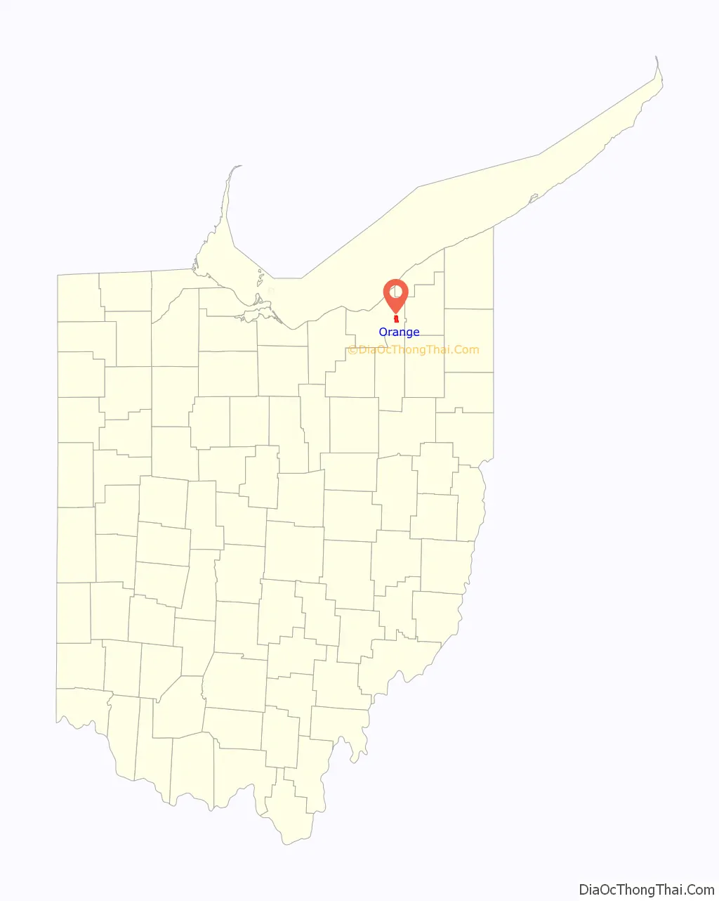
Orange Road Map
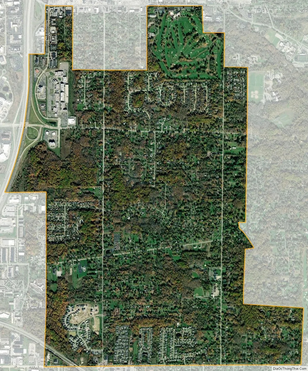
Orange city Satellite Map
Geography
According to the United States Census Bureau, the village has a total area of 3.82 square miles (9.89 km), of which 3.80 square miles (9.84 km) is land and 0.02 square miles (0.05 km) is water. The affluent village is the home of the scenic Beechmont Country Club golf course.
See also
Map of Ohio State and its subdivision:- Adams
- Allen
- Ashland
- Ashtabula
- Athens
- Auglaize
- Belmont
- Brown
- Butler
- Carroll
- Champaign
- Clark
- Clermont
- Clinton
- Columbiana
- Coshocton
- Crawford
- Cuyahoga
- Darke
- Defiance
- Delaware
- Erie
- Fairfield
- Fayette
- Franklin
- Fulton
- Gallia
- Geauga
- Greene
- Guernsey
- Hamilton
- Hancock
- Hardin
- Harrison
- Henry
- Highland
- Hocking
- Holmes
- Huron
- Jackson
- Jefferson
- Knox
- Lake
- Lake Erie
- Lawrence
- Licking
- Logan
- Lorain
- Lucas
- Madison
- Mahoning
- Marion
- Medina
- Meigs
- Mercer
- Miami
- Monroe
- Montgomery
- Morgan
- Morrow
- Muskingum
- Noble
- Ottawa
- Paulding
- Perry
- Pickaway
- Pike
- Portage
- Preble
- Putnam
- Richland
- Ross
- Sandusky
- Scioto
- Seneca
- Shelby
- Stark
- Summit
- Trumbull
- Tuscarawas
- Union
- Van Wert
- Vinton
- Warren
- Washington
- Wayne
- Williams
- Wood
- Wyandot
- Alabama
- Alaska
- Arizona
- Arkansas
- California
- Colorado
- Connecticut
- Delaware
- District of Columbia
- Florida
- Georgia
- Hawaii
- Idaho
- Illinois
- Indiana
- Iowa
- Kansas
- Kentucky
- Louisiana
- Maine
- Maryland
- Massachusetts
- Michigan
- Minnesota
- Mississippi
- Missouri
- Montana
- Nebraska
- Nevada
- New Hampshire
- New Jersey
- New Mexico
- New York
- North Carolina
- North Dakota
- Ohio
- Oklahoma
- Oregon
- Pennsylvania
- Rhode Island
- South Carolina
- South Dakota
- Tennessee
- Texas
- Utah
- Vermont
- Virginia
- Washington
- West Virginia
- Wisconsin
- Wyoming


