Orient is a census-designated place and former village in Pickaway County, Ohio, United States. The population was 270 at the 2010 census.
Orient is home to the Pickaway Correctional Institution and the Correctional Reception Center.
| Name: | Orient CDP |
|---|---|
| LSAD Code: | 57 |
| LSAD Description: | CDP (suffix) |
| State: | Ohio |
| County: | Pickaway County |
| Elevation: | 840 ft (256 m) |
| Total Area: | 0.16 sq mi (0.41 km²) |
| Land Area: | 0.15 sq mi (0.40 km²) |
| Water Area: | 0.00 sq mi (0.01 km²) |
| Total Population: | 246 |
| Population Density: | 1,607.84/sq mi (621.01/km²) |
| ZIP code: | 43146 |
| Area code: | 614 |
| FIPS code: | 3958800 |
| GNISfeature ID: | 1065214 |
Online Interactive Map
Click on ![]() to view map in "full screen" mode.
to view map in "full screen" mode.
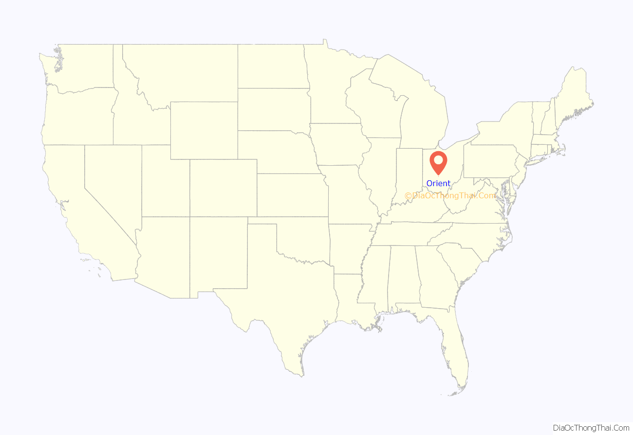
Orient location map. Where is Orient CDP?
History
Orient was established as a station on the Baltimore and Ohio Railroad in the northwest corner of Scioto township.
Local residents began seeking dissolution in January 2012. Thirty-three signatures were collected, one more than required by Ohio law to gain ballot access, but the county board of elections rejected the petition when it was found to have more signatures than those certified by the petition circulator. A new petition resulted in a May 2013 vote, in which the village residents supported dissolution by a margin of 38–30.
Orient Road Map
Orient city Satellite Map
Geography
Orient is located at 39°48′18″N 83°9′16″W / 39.80500°N 83.15444°W / 39.80500; -83.15444 (39.804906, -83.154567).
According to the United States Census Bureau, the village has a total area of 0.12 sqmi (0.31 km), all land.
See also
Map of Ohio State and its subdivision:- Adams
- Allen
- Ashland
- Ashtabula
- Athens
- Auglaize
- Belmont
- Brown
- Butler
- Carroll
- Champaign
- Clark
- Clermont
- Clinton
- Columbiana
- Coshocton
- Crawford
- Cuyahoga
- Darke
- Defiance
- Delaware
- Erie
- Fairfield
- Fayette
- Franklin
- Fulton
- Gallia
- Geauga
- Greene
- Guernsey
- Hamilton
- Hancock
- Hardin
- Harrison
- Henry
- Highland
- Hocking
- Holmes
- Huron
- Jackson
- Jefferson
- Knox
- Lake
- Lake Erie
- Lawrence
- Licking
- Logan
- Lorain
- Lucas
- Madison
- Mahoning
- Marion
- Medina
- Meigs
- Mercer
- Miami
- Monroe
- Montgomery
- Morgan
- Morrow
- Muskingum
- Noble
- Ottawa
- Paulding
- Perry
- Pickaway
- Pike
- Portage
- Preble
- Putnam
- Richland
- Ross
- Sandusky
- Scioto
- Seneca
- Shelby
- Stark
- Summit
- Trumbull
- Tuscarawas
- Union
- Van Wert
- Vinton
- Warren
- Washington
- Wayne
- Williams
- Wood
- Wyandot
- Alabama
- Alaska
- Arizona
- Arkansas
- California
- Colorado
- Connecticut
- Delaware
- District of Columbia
- Florida
- Georgia
- Hawaii
- Idaho
- Illinois
- Indiana
- Iowa
- Kansas
- Kentucky
- Louisiana
- Maine
- Maryland
- Massachusetts
- Michigan
- Minnesota
- Mississippi
- Missouri
- Montana
- Nebraska
- Nevada
- New Hampshire
- New Jersey
- New Mexico
- New York
- North Carolina
- North Dakota
- Ohio
- Oklahoma
- Oregon
- Pennsylvania
- Rhode Island
- South Carolina
- South Dakota
- Tennessee
- Texas
- Utah
- Vermont
- Virginia
- Washington
- West Virginia
- Wisconsin
- Wyoming
