Palestine is a village in Darke County, Ohio, United States. The population was 180 at the 2020 census.
| Name: | Palestine village |
|---|---|
| LSAD Code: | 47 |
| LSAD Description: | village (suffix) |
| State: | Ohio |
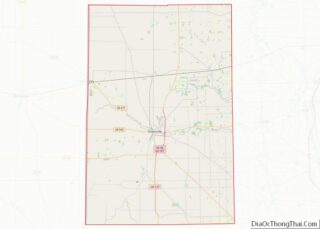
| County: | Darke County |
| Elevation: | 1,109 ft (338 m) |
| Total Area: | 0.15 sq mi (0.38 km²) |
| Land Area: | 0.15 sq mi (0.38 km²) |
| Water Area: | 0.00 sq mi (0.00 km²) |
| Total Population: | 180 |
| Population Density: | 1,232.88/sq mi (475.71/km²) |
| ZIP code: | 45352 |
| Area code: | 937, 326 |
| FIPS code: | 3959598 |
| GNISfeature ID: | 1049054 |
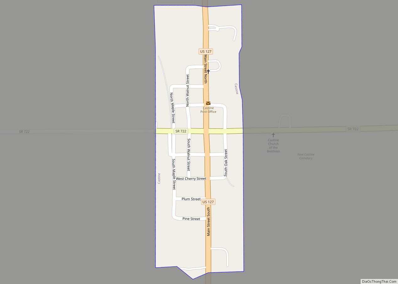
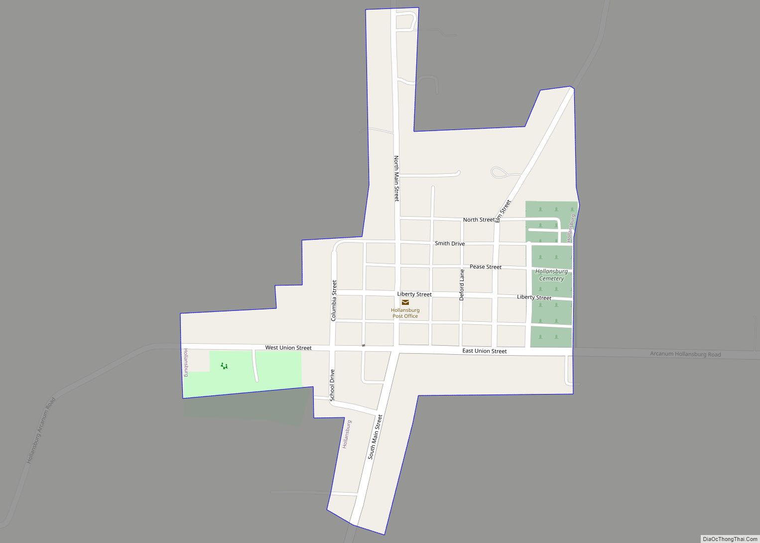
Online Interactive Map
Click on ![]() to view map in "full screen" mode.
to view map in "full screen" mode.
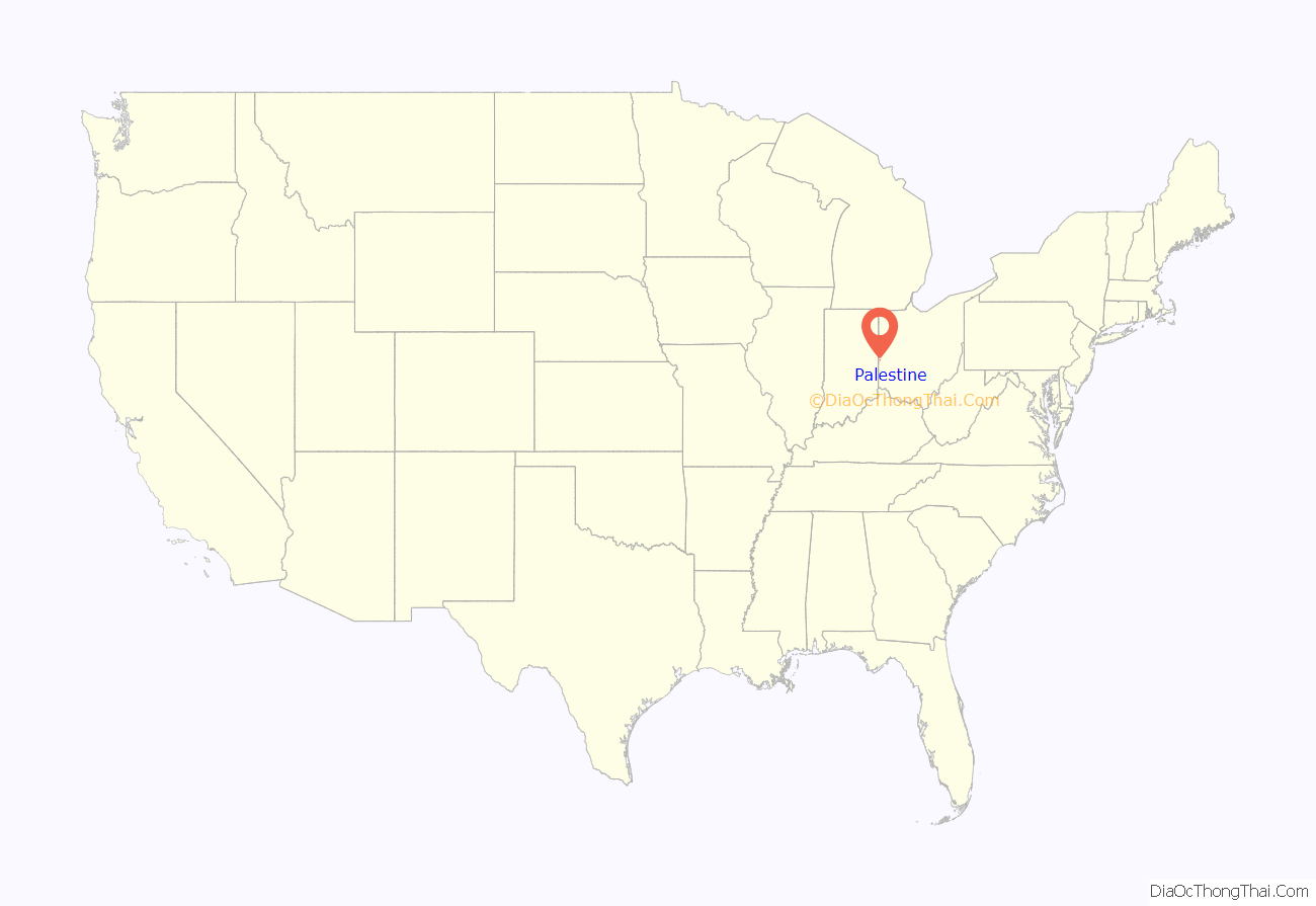
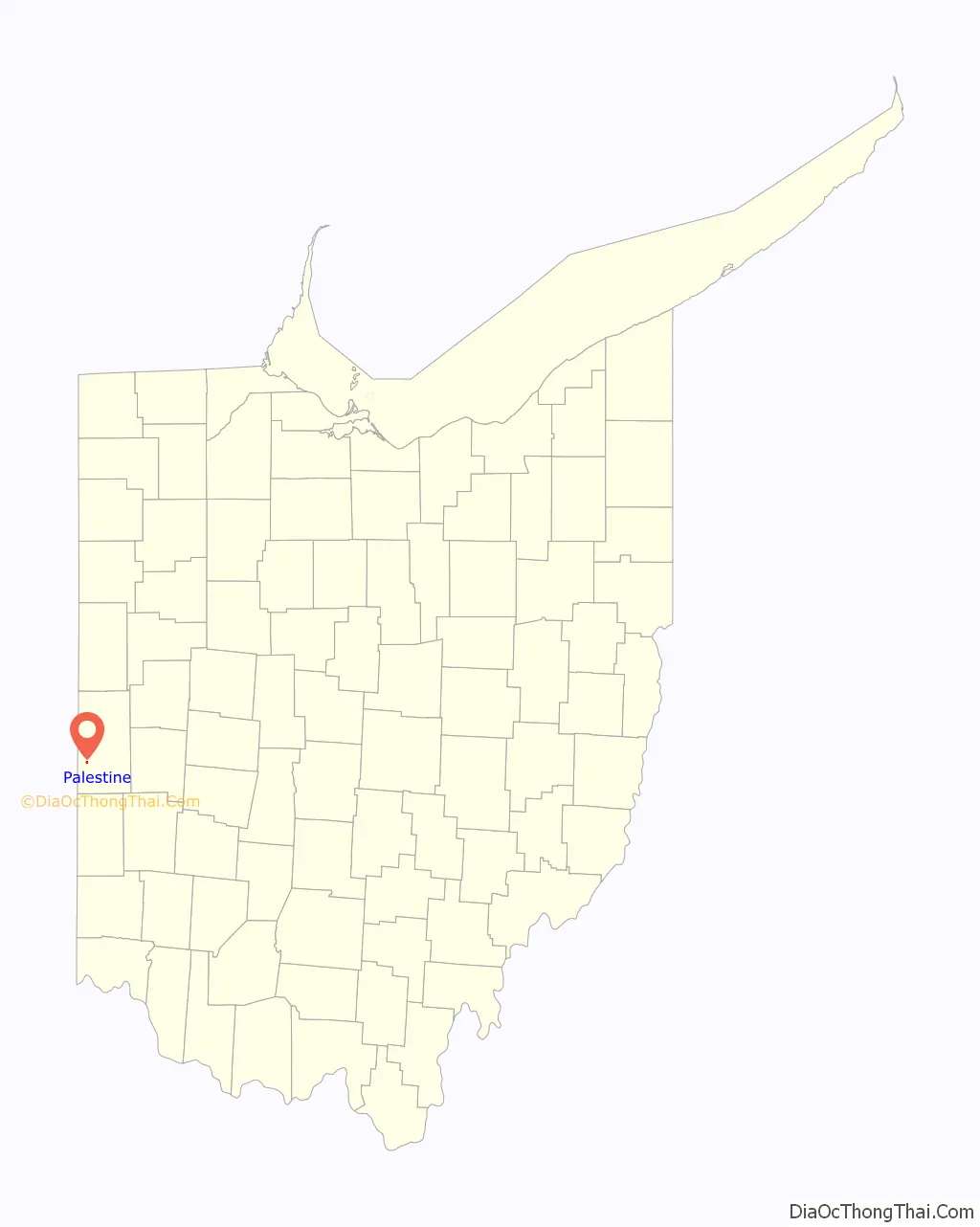
Palestine location map. Where is Palestine village?
History
Palestine is a small village located in eastern Ohio, United States. It was founded in 1806 by a group of settlers from Pennsylvania, who named the town after the biblical land of Palestine.
During its early years, Palestine was a small agricultural community, with a number of farms and mills dotting the surrounding countryside. The town’s population slowly grew, and by the mid-1800s, it had become a small but thriving village, with a number of stores, churches, and schools.
In the late 1800s, Palestine became an important center for the production of oil and gas. A number of wells were drilled in the area, and the town experienced a period of rapid growth and prosperity. The population soared, and new businesses and industries sprang up to serve the needs of the growing community.
However, this period of prosperity was short-lived. By the early 1900s, the oil and gas boom had come to an end, and the town’s population and economy began to decline. Today, Palestine is a small, quiet village, with a population of just over 300 people. Despite the small size, however, it has a rich history and a strong sense of community pride.
Palestine Road Map
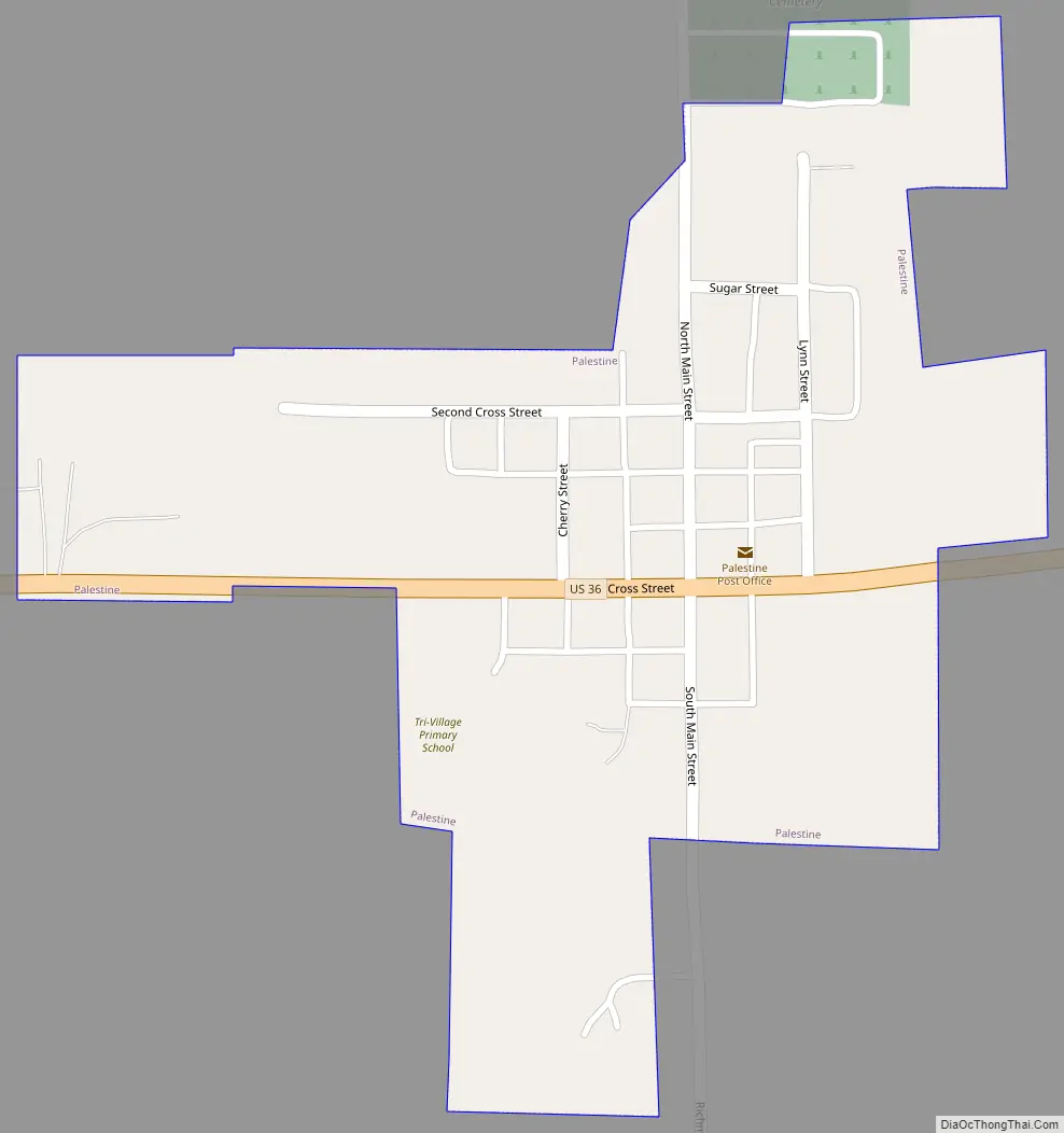
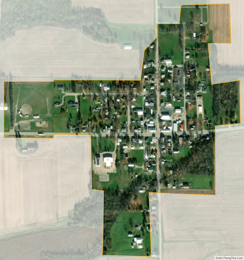
Palestine city Satellite Map
Geography
Palestine is located at 40°03′01″N 84°44′40″W / 40.050308°N 84.744428°W / 40.050308; -84.744428.
According to the United States Census Bureau, the village has a total area of 0.15 square miles (0.39 km), all land.
See also
Map of Ohio State and its subdivision:- Adams
- Allen
- Ashland
- Ashtabula
- Athens
- Auglaize
- Belmont
- Brown
- Butler
- Carroll
- Champaign
- Clark
- Clermont
- Clinton
- Columbiana
- Coshocton
- Crawford
- Cuyahoga
- Darke
- Defiance
- Delaware
- Erie
- Fairfield
- Fayette
- Franklin
- Fulton
- Gallia
- Geauga
- Greene
- Guernsey
- Hamilton
- Hancock
- Hardin
- Harrison
- Henry
- Highland
- Hocking
- Holmes
- Huron
- Jackson
- Jefferson
- Knox
- Lake
- Lake Erie
- Lawrence
- Licking
- Logan
- Lorain
- Lucas
- Madison
- Mahoning
- Marion
- Medina
- Meigs
- Mercer
- Miami
- Monroe
- Montgomery
- Morgan
- Morrow
- Muskingum
- Noble
- Ottawa
- Paulding
- Perry
- Pickaway
- Pike
- Portage
- Preble
- Putnam
- Richland
- Ross
- Sandusky
- Scioto
- Seneca
- Shelby
- Stark
- Summit
- Trumbull
- Tuscarawas
- Union
- Van Wert
- Vinton
- Warren
- Washington
- Wayne
- Williams
- Wood
- Wyandot
- Alabama
- Alaska
- Arizona
- Arkansas
- California
- Colorado
- Connecticut
- Delaware
- District of Columbia
- Florida
- Georgia
- Hawaii
- Idaho
- Illinois
- Indiana
- Iowa
- Kansas
- Kentucky
- Louisiana
- Maine
- Maryland
- Massachusetts
- Michigan
- Minnesota
- Mississippi
- Missouri
- Montana
- Nebraska
- Nevada
- New Hampshire
- New Jersey
- New Mexico
- New York
- North Carolina
- North Dakota
- Ohio
- Oklahoma
- Oregon
- Pennsylvania
- Rhode Island
- South Carolina
- South Dakota
- Tennessee
- Texas
- Utah
- Vermont
- Virginia
- Washington
- West Virginia
- Wisconsin
- Wyoming