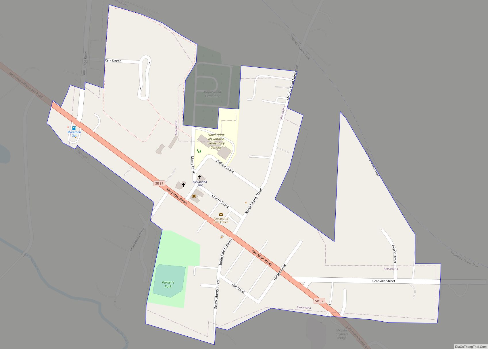
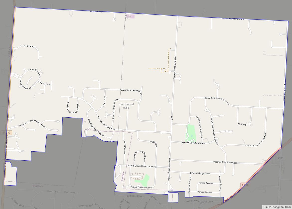
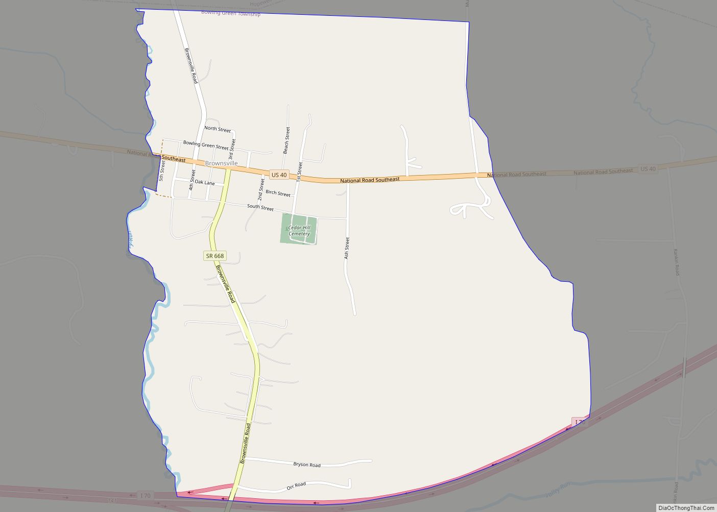
Pataskala (/pəˈtæskələ/ pə-TAS-kə-lə) is a city in Licking County, Ohio, United States, approximately 19 miles (31 km) east of Columbus. The population was 14,962 at the 2010 census. Pataskala was a small community until 1996, when what was then the village of Pataskala merged with Lima Township, vastly increasing its population and geographic area.
| Name: | Pataskala city |
|---|---|
| LSAD Code: | 25 |
| LSAD Description: | city (suffix) |
| State: | Ohio |
| County: | Licking County |
| Elevation: | 1,001 ft (305 m) |
| Total Area: | 29.06 sq mi (75.26 km²) |
| Land Area: | 28.96 sq mi (75.01 km²) |
| Water Area: | 0.10 sq mi (0.25 km²) |
| Total Population: | 17,886 |
| Population Density: | 617.57/sq mi (238.45/km²) |
| ZIP code: | 43062 |
| FIPS code: | 3961112 |
| GNISfeature ID: | 1049066 |
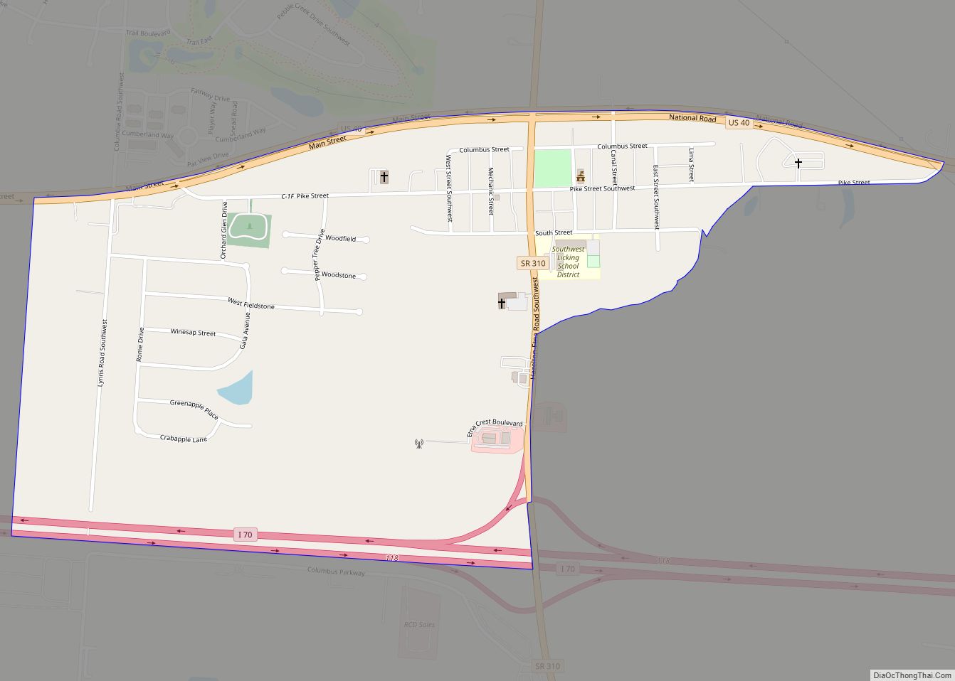
Online Interactive Map
Click on ![]() to view map in "full screen" mode.
to view map in "full screen" mode.
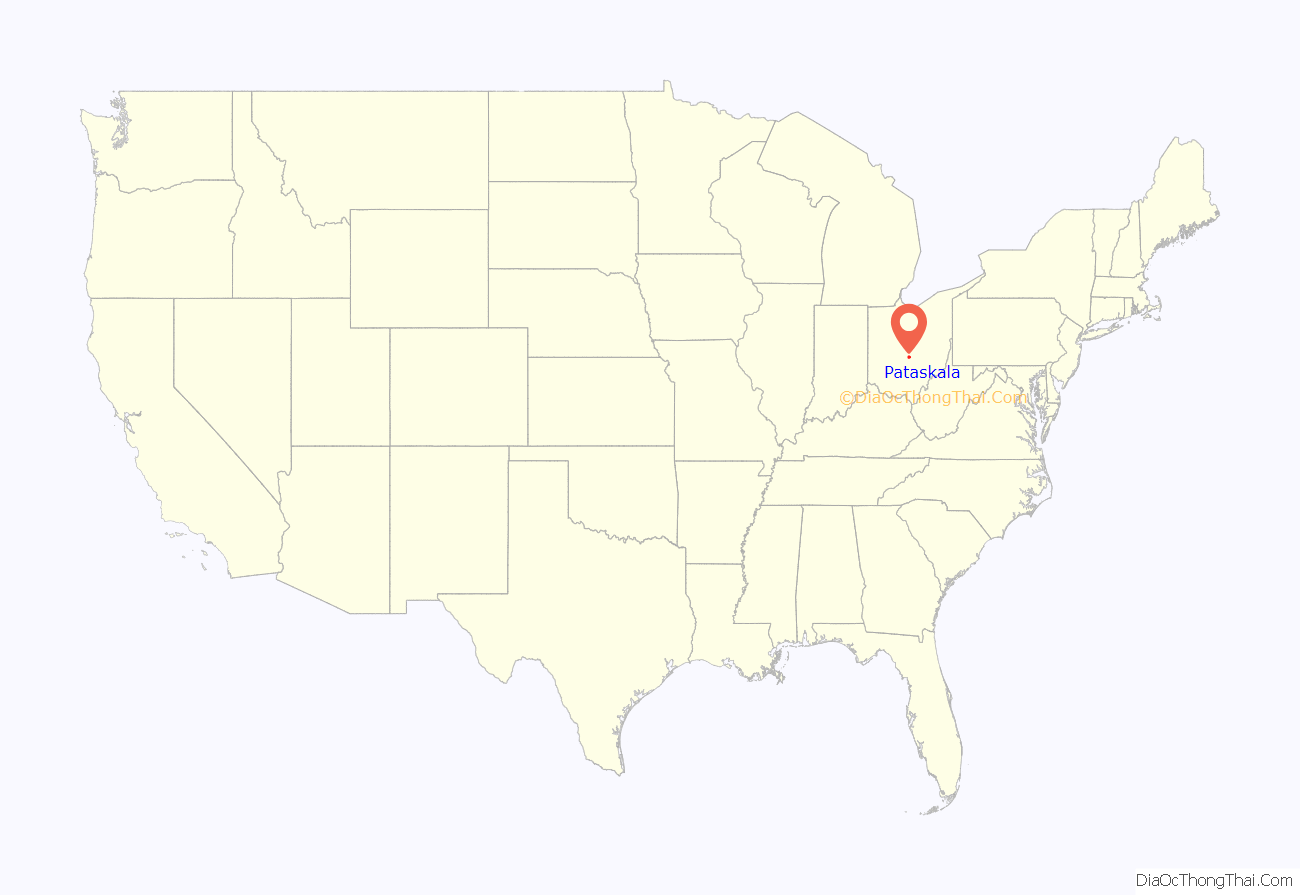
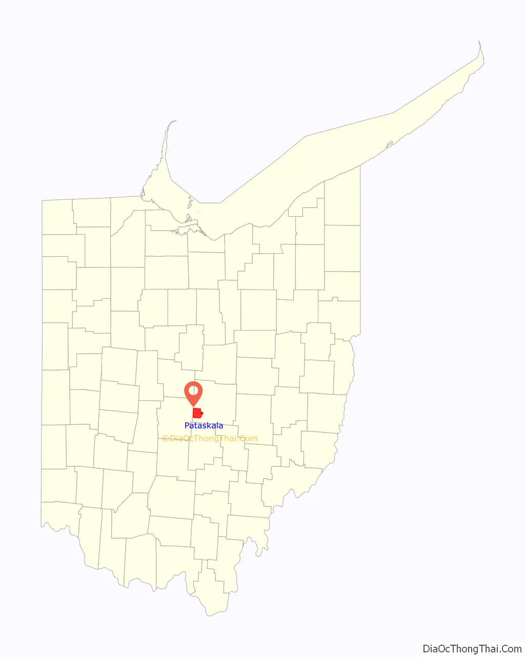
Pataskala location map. Where is Pataskala city?
History
Pataskala was laid out in 1851 when the railroad was extended to that point. “Pataskala” is a name derived from the Delaware language. A post office has been in operation at Pataskala since 1852.
Pataskala was originally called Conine Town, after an early settler of the area, Richard Conine, and his wife Sarah (Van Dorn) Conine. Born in New Jersey, the Conines purchased over 2000 acres in Lima Township, permanently settling in the area in 1821. Conine had sold most of his land by 1850, and in 1851 he laid out plots for Conine Town. Another early settler, Jess Stoneman Green, who had purchased much of Conine’s property, likewise laid out and sold lots in 1852. The name was changed to Pataskala in 1852.
Pataskala Road Map
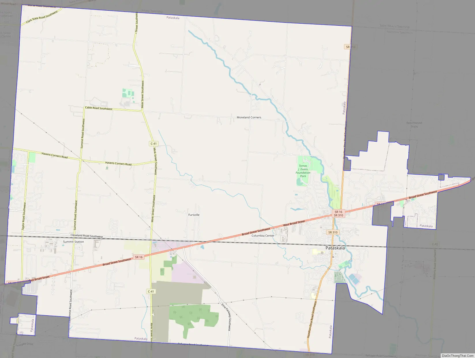
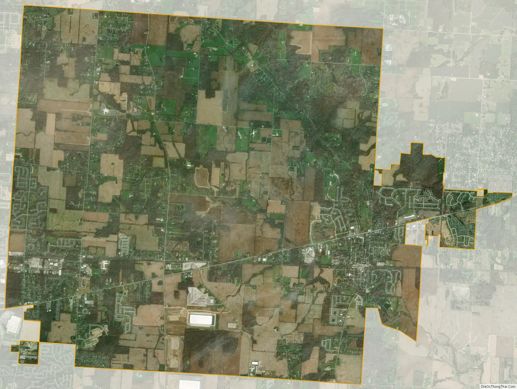
Pataskala city Satellite Map
Geography
Pataskala is located at 39°59′52″N 82°41′51″W / 39.99778°N 82.69750°W / 39.99778; -82.69750 (39.997890, -82.697411), along the South Fork of the Licking River in southwestern Licking County. Pataskala is the home of two school districts, Southwest Licking Local Schools and Licking Heights Local Schools. The Licking Heights district also serves parts of Reynoldsburg, Jefferson Township, and the census designated place of Blacklick.
According to the United States Census Bureau, Pataskala has a total area of 28.72 square miles (74.38 km), of which 28.62 square miles (74.13 km) are land and 0.10 square miles (0.26 km) are water.
See also
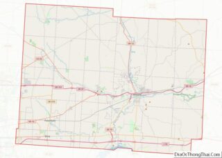
Map of Ohio State and its subdivision:- Adams
- Allen
- Ashland
- Ashtabula
- Athens
- Auglaize
- Belmont
- Brown
- Butler
- Carroll
- Champaign
- Clark
- Clermont
- Clinton
- Columbiana
- Coshocton
- Crawford
- Cuyahoga
- Darke
- Defiance
- Delaware
- Erie
- Fairfield
- Fayette
- Franklin
- Fulton
- Gallia
- Geauga
- Greene
- Guernsey
- Hamilton
- Hancock
- Hardin
- Harrison
- Henry
- Highland
- Hocking
- Holmes
- Huron
- Jackson
- Jefferson
- Knox
- Lake
- Lake Erie
- Lawrence
- Licking
- Logan
- Lorain
- Lucas
- Madison
- Mahoning
- Marion
- Medina
- Meigs
- Mercer
- Miami
- Monroe
- Montgomery
- Morgan
- Morrow
- Muskingum
- Noble
- Ottawa
- Paulding
- Perry
- Pickaway
- Pike
- Portage
- Preble
- Putnam
- Richland
- Ross
- Sandusky
- Scioto
- Seneca
- Shelby
- Stark
- Summit
- Trumbull
- Tuscarawas
- Union
- Van Wert
- Vinton
- Warren
- Washington
- Wayne
- Williams
- Wood
- Wyandot
- Alabama
- Alaska
- Arizona
- Arkansas
- California
- Colorado
- Connecticut
- Delaware
- District of Columbia
- Florida
- Georgia
- Hawaii
- Idaho
- Illinois
- Indiana
- Iowa
- Kansas
- Kentucky
- Louisiana
- Maine
- Maryland
- Massachusetts
- Michigan
- Minnesota
- Mississippi
- Missouri
- Montana
- Nebraska
- Nevada
- New Hampshire
- New Jersey
- New Mexico
- New York
- North Carolina
- North Dakota
- Ohio
- Oklahoma
- Oregon
- Pennsylvania
- Rhode Island
- South Carolina
- South Dakota
- Tennessee
- Texas
- Utah
- Vermont
- Virginia
- Washington
- West Virginia
- Wisconsin
- Wyoming