Pepper Pike is a city in eastern Cuyahoga County, Ohio, United States. It is a suburb of Cleveland. The population was 6,796 as of the 2020 census.
| Name: | Pepper Pike city |
|---|---|
| LSAD Code: | 25 |
| LSAD Description: | city (suffix) |
| State: | Ohio |
| County: | Cuyahoga County |
| Elevation: | 1,056 ft (322 m) |
| Total Area: | 7.15 sq mi (18.53 km²) |
| Land Area: | 7.12 sq mi (18.44 km²) |
| Water Area: | 0.03 sq mi (0.09 km²) |
| Total Population: | 6,796 |
| Population Density: | 954.36/sq mi (368.49/km²) |
| ZIP code: | 44122, 44124 |
| Area code: | 216, 440 |
| FIPS code: | 3961686 |
| GNISfeature ID: | 1044373 |
| Website: | http://www.pepperpike.org/ |
Online Interactive Map
Click on ![]() to view map in "full screen" mode.
to view map in "full screen" mode.
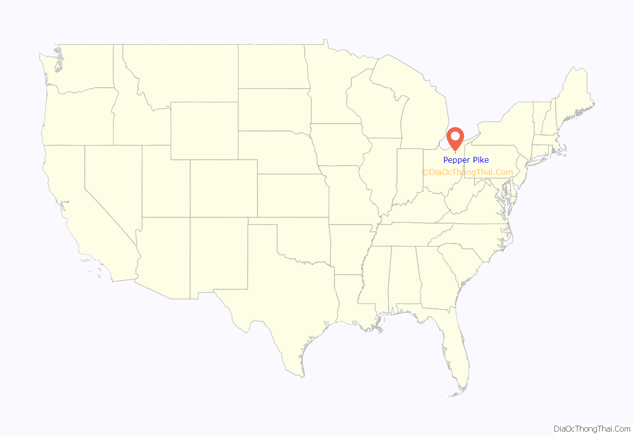
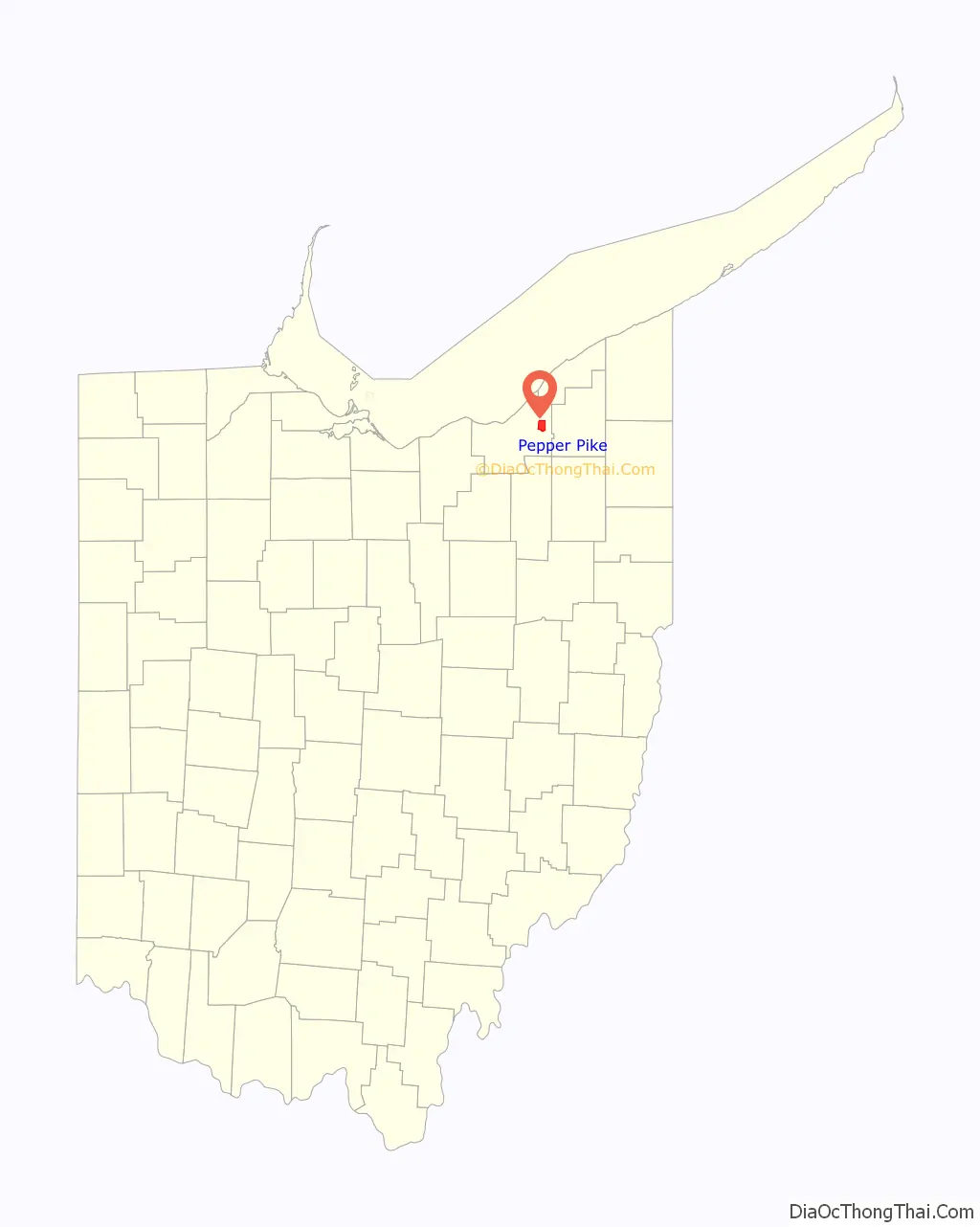
Pepper Pike location map. Where is Pepper Pike city?
History
In 1763, sixteen pioneers settled the area along the eastern border of present-day Cuyahoga County. In 1763, Orange Township was established, which included the present municipalities of Pepper Pike, Hunting Valley, Moreland Hills, Orange Village and Woodmere. Orange Township was the birthplace of President James A. Garfield in 1831. By the late 1880s, dairy farming and cheese production became the primary industry of the township. In 1924, residents of the northwestern quadrant of Orange Township voted to separate, and the village of Pepper Pike was incorporated. The name “Pepper Pike” was supposedly selected after the Pepper family, who lived and worked along the primary transportation corridor (i.e., turnpike), although there are other theories about the name. Incorporated as a city in 1970, Pepper Pike operates under the mayor-council form of government. In the late 2000s, it was chosen as one of the top seven strangest city names by the World Book of Facts.
Homes in the city are required to have an area of one acre so that residents can enjoy bucolic surroundings. Pepper Pike has been named a “Tree City USA” several consecutive years by the National Arbor Day Foundation.
The RTA’s greenline was originally planned to extend from Green Road to Brainard in Pepper Pike, but financial setbacks in the 1930s prevented its completion. The arrival of I-271 in the 1960s cemented the region’s reliance on automobiles over the train system.
On November 15, 2019, a natural gas pipeline in Pepper Pike exploded.
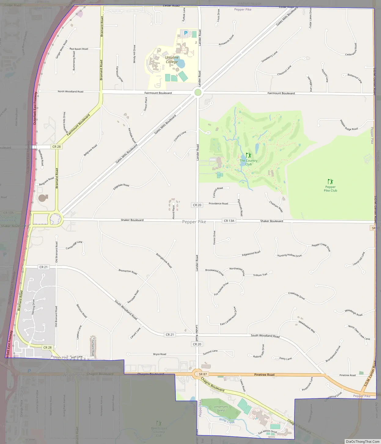
Pepper Pike Road Map
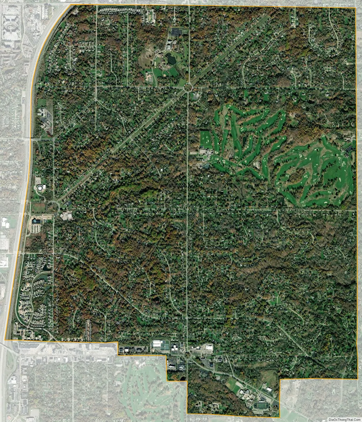
Pepper Pike city Satellite Map
Geography
Pepper Pike is located at 41°28′37″N 81°28′8″W / 41.47694°N 81.46889°W / 41.47694; -81.46889 (41.476836, -81.468975) in the eastern section of Cuyahoga County.
According to the United States Census Bureau, the city has a total area of 7.09 square miles (18.36 km), of which 7.06 square miles (18.29 km) is land and 0.03 square miles (0.08 km) is water.
See also
Map of Ohio State and its subdivision:- Adams
- Allen
- Ashland
- Ashtabula
- Athens
- Auglaize
- Belmont
- Brown
- Butler
- Carroll
- Champaign
- Clark
- Clermont
- Clinton
- Columbiana
- Coshocton
- Crawford
- Cuyahoga
- Darke
- Defiance
- Delaware
- Erie
- Fairfield
- Fayette
- Franklin
- Fulton
- Gallia
- Geauga
- Greene
- Guernsey
- Hamilton
- Hancock
- Hardin
- Harrison
- Henry
- Highland
- Hocking
- Holmes
- Huron
- Jackson
- Jefferson
- Knox
- Lake
- Lake Erie
- Lawrence
- Licking
- Logan
- Lorain
- Lucas
- Madison
- Mahoning
- Marion
- Medina
- Meigs
- Mercer
- Miami
- Monroe
- Montgomery
- Morgan
- Morrow
- Muskingum
- Noble
- Ottawa
- Paulding
- Perry
- Pickaway
- Pike
- Portage
- Preble
- Putnam
- Richland
- Ross
- Sandusky
- Scioto
- Seneca
- Shelby
- Stark
- Summit
- Trumbull
- Tuscarawas
- Union
- Van Wert
- Vinton
- Warren
- Washington
- Wayne
- Williams
- Wood
- Wyandot
- Alabama
- Alaska
- Arizona
- Arkansas
- California
- Colorado
- Connecticut
- Delaware
- District of Columbia
- Florida
- Georgia
- Hawaii
- Idaho
- Illinois
- Indiana
- Iowa
- Kansas
- Kentucky
- Louisiana
- Maine
- Maryland
- Massachusetts
- Michigan
- Minnesota
- Mississippi
- Missouri
- Montana
- Nebraska
- Nevada
- New Hampshire
- New Jersey
- New Mexico
- New York
- North Carolina
- North Dakota
- Ohio
- Oklahoma
- Oregon
- Pennsylvania
- Rhode Island
- South Carolina
- South Dakota
- Tennessee
- Texas
- Utah
- Vermont
- Virginia
- Washington
- West Virginia
- Wisconsin
- Wyoming


