Pitsburg is a village in Monroe Township, Darke County, Ohio, United States. The population was 388 at the 2010 census.
| Name: | Pitsburg village |
|---|---|
| LSAD Code: | 47 |
| LSAD Description: | village (suffix) |
| State: | Ohio |
| County: | Darke County |
| Elevation: | 1,024 ft (312 m) |
| Total Area: | 0.17 sq mi (0.44 km²) |
| Land Area: | 0.17 sq mi (0.44 km²) |
| Water Area: | 0.00 sq mi (0.00 km²) |
| Total Population: | 381 |
| Population Density: | 2,254.44/sq mi (868.32/km²) |
| ZIP code: | 45358 |
| Area code: | 937, 326 |
| FIPS code: | 3962890 |
| GNISfeature ID: | 1084103 |
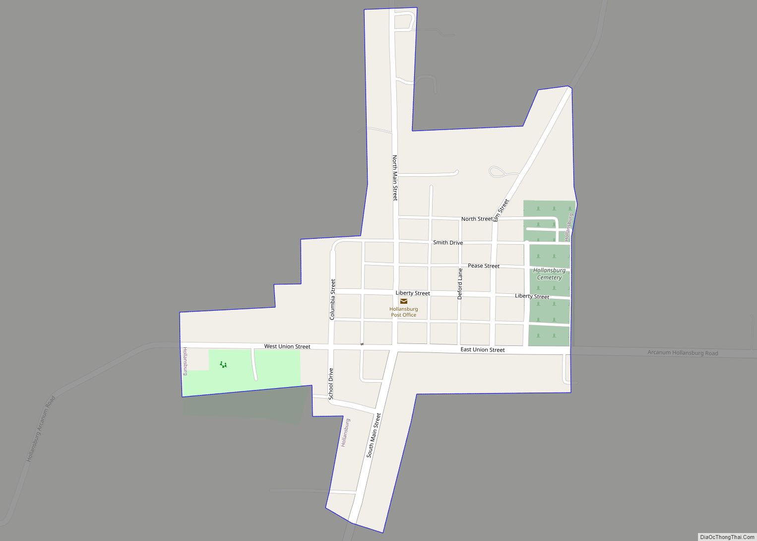
Online Interactive Map
Click on ![]() to view map in "full screen" mode.
to view map in "full screen" mode.
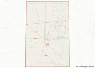
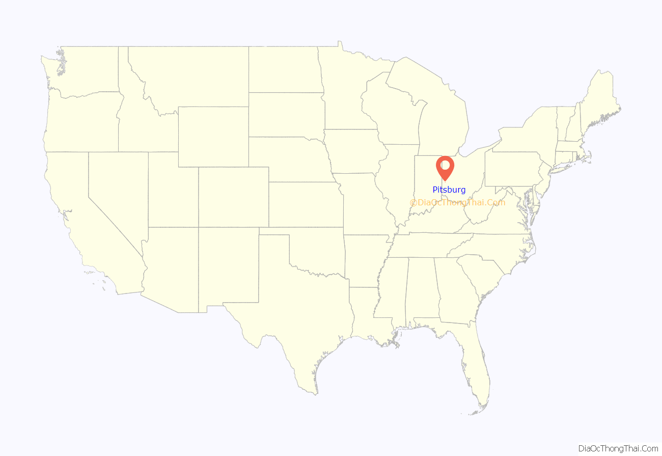
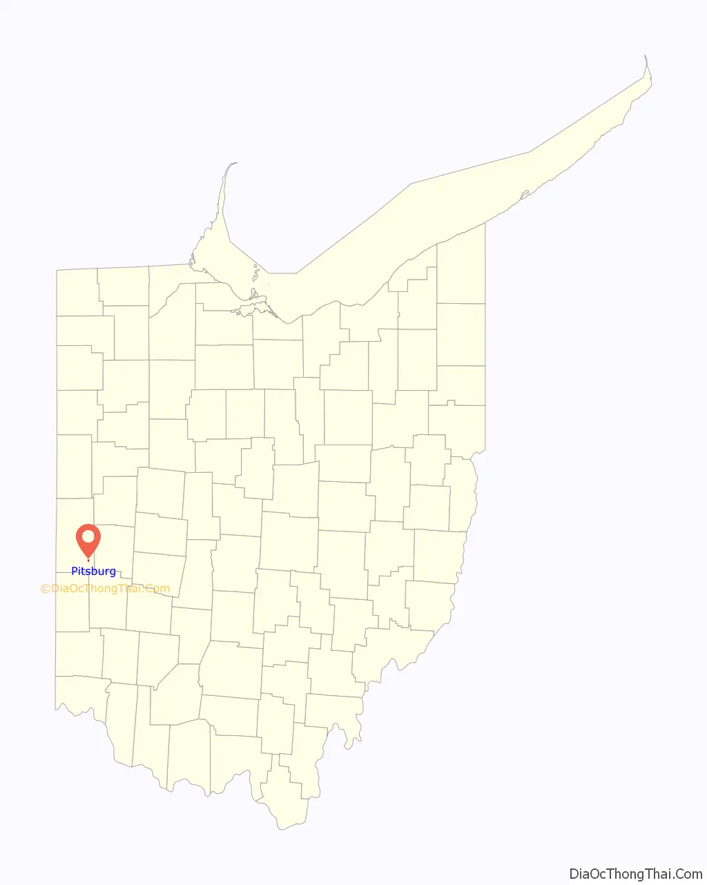
Pitsburg location map. Where is Pitsburg village?
History
Pitsburg was founded under the name of “Arnettsville” in the 19th century, but it languished: an author writing in 1880 described it as “liv[ing] only in name and story.” The community revived over the next several decades; by 1914, the village included Monroe Township schools which in 1952 became Franklin Monroe, a Methodist Episcopal church, multiple businesses, and over two hundred residents.
Pitsburg Road Map
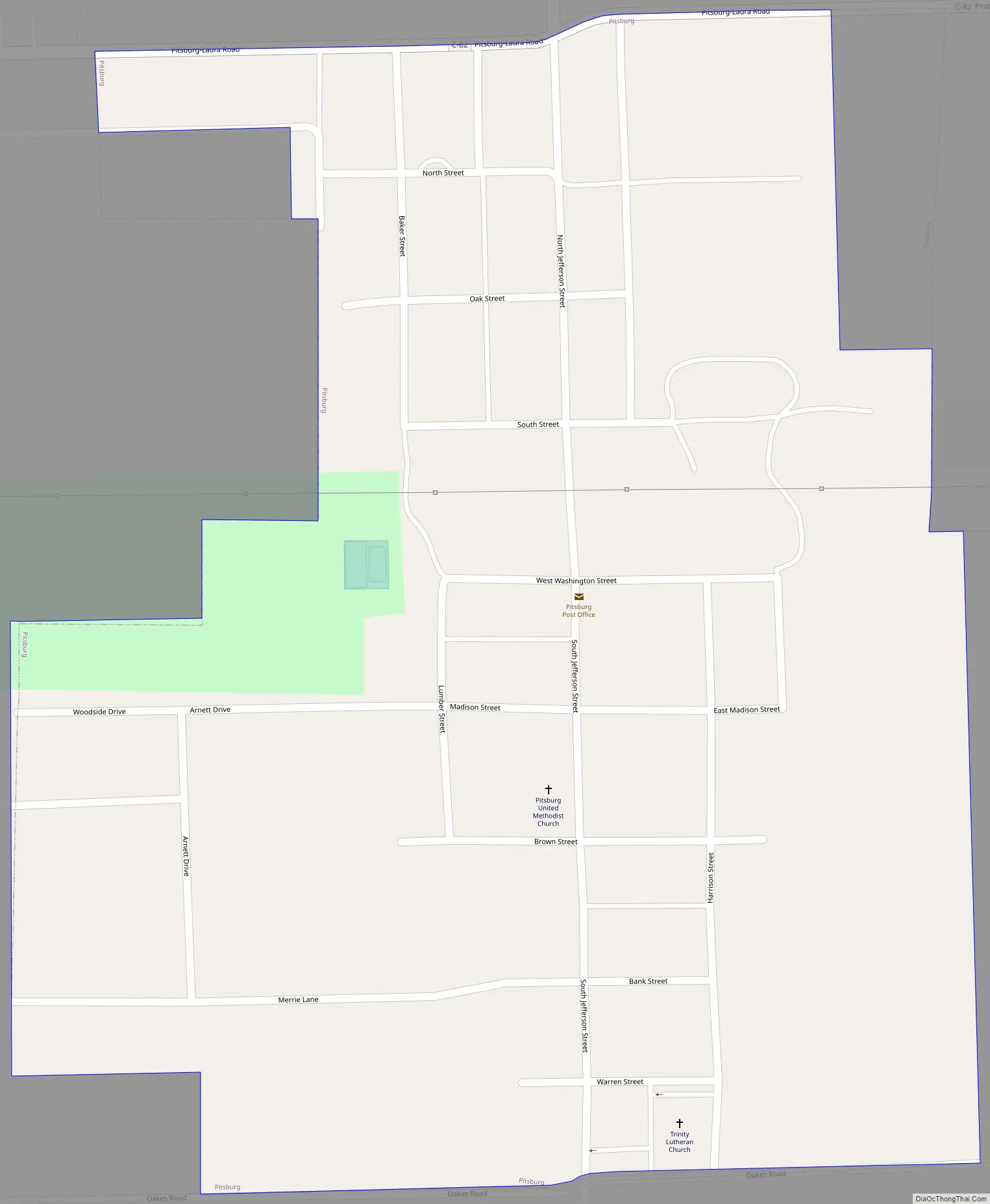
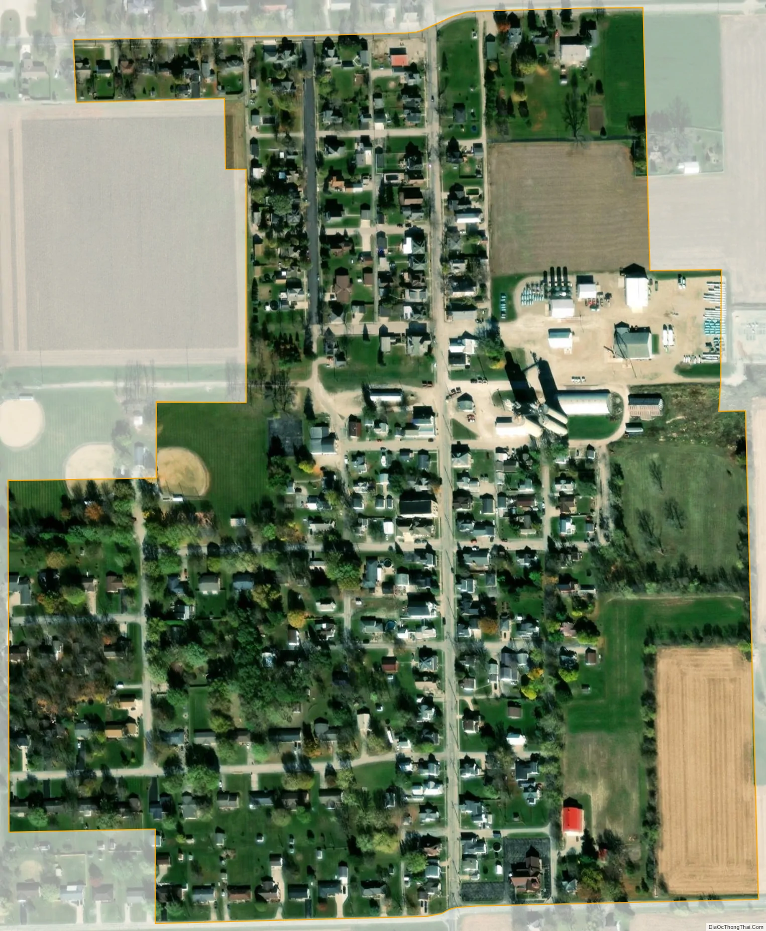
Pitsburg city Satellite Map
Geography
Pitsburg is located at 39°59′12″N 84°29′15″W / 39.98667°N 84.48750°W / 39.98667; -84.48750 (39.986795, -84.487629).
According to the United States Census Bureau, the village has a total area of 0.19 square miles (0.49 km), all land.
See also
Map of Ohio State and its subdivision:- Adams
- Allen
- Ashland
- Ashtabula
- Athens
- Auglaize
- Belmont
- Brown
- Butler
- Carroll
- Champaign
- Clark
- Clermont
- Clinton
- Columbiana
- Coshocton
- Crawford
- Cuyahoga
- Darke
- Defiance
- Delaware
- Erie
- Fairfield
- Fayette
- Franklin
- Fulton
- Gallia
- Geauga
- Greene
- Guernsey
- Hamilton
- Hancock
- Hardin
- Harrison
- Henry
- Highland
- Hocking
- Holmes
- Huron
- Jackson
- Jefferson
- Knox
- Lake
- Lake Erie
- Lawrence
- Licking
- Logan
- Lorain
- Lucas
- Madison
- Mahoning
- Marion
- Medina
- Meigs
- Mercer
- Miami
- Monroe
- Montgomery
- Morgan
- Morrow
- Muskingum
- Noble
- Ottawa
- Paulding
- Perry
- Pickaway
- Pike
- Portage
- Preble
- Putnam
- Richland
- Ross
- Sandusky
- Scioto
- Seneca
- Shelby
- Stark
- Summit
- Trumbull
- Tuscarawas
- Union
- Van Wert
- Vinton
- Warren
- Washington
- Wayne
- Williams
- Wood
- Wyandot
- Alabama
- Alaska
- Arizona
- Arkansas
- California
- Colorado
- Connecticut
- Delaware
- District of Columbia
- Florida
- Georgia
- Hawaii
- Idaho
- Illinois
- Indiana
- Iowa
- Kansas
- Kentucky
- Louisiana
- Maine
- Maryland
- Massachusetts
- Michigan
- Minnesota
- Mississippi
- Missouri
- Montana
- Nebraska
- Nevada
- New Hampshire
- New Jersey
- New Mexico
- New York
- North Carolina
- North Dakota
- Ohio
- Oklahoma
- Oregon
- Pennsylvania
- Rhode Island
- South Carolina
- South Dakota
- Tennessee
- Texas
- Utah
- Vermont
- Virginia
- Washington
- West Virginia
- Wisconsin
- Wyoming