Rarden is a village in Scioto County, Ohio, United States. The population was 159 at the 2010 census.
| Name: | Rarden village |
|---|---|
| LSAD Code: | 47 |
| LSAD Description: | village (suffix) |
| State: | Ohio |
| County: | Scioto County |
| Elevation: | 620 ft (189 m) |
| Total Area: | 0.21 sq mi (0.55 km²) |
| Land Area: | 0.21 sq mi (0.55 km²) |
| Water Area: | 0.00 sq mi (0.00 km²) |
| Total Population: | 146 |
| Population Density: | 688.68/sq mi (266.44/km²) |
| ZIP code: | 45671 |
| Area code: | 740 |
| FIPS code: | 3965508 |
| GNISfeature ID: | 1061585 |
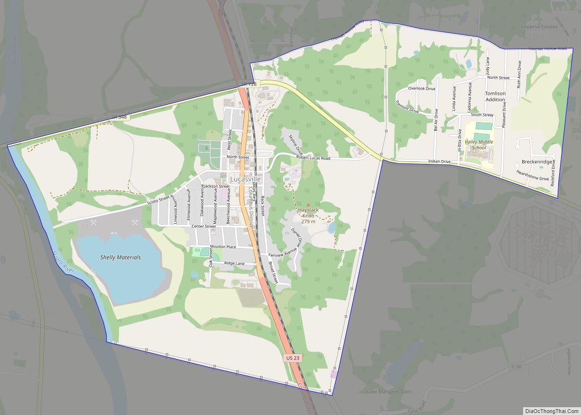
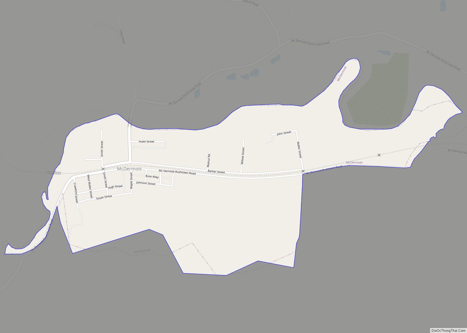
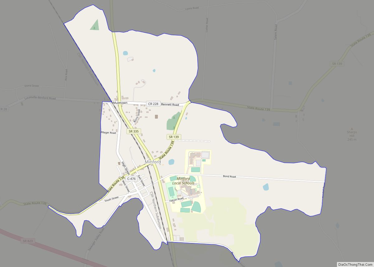
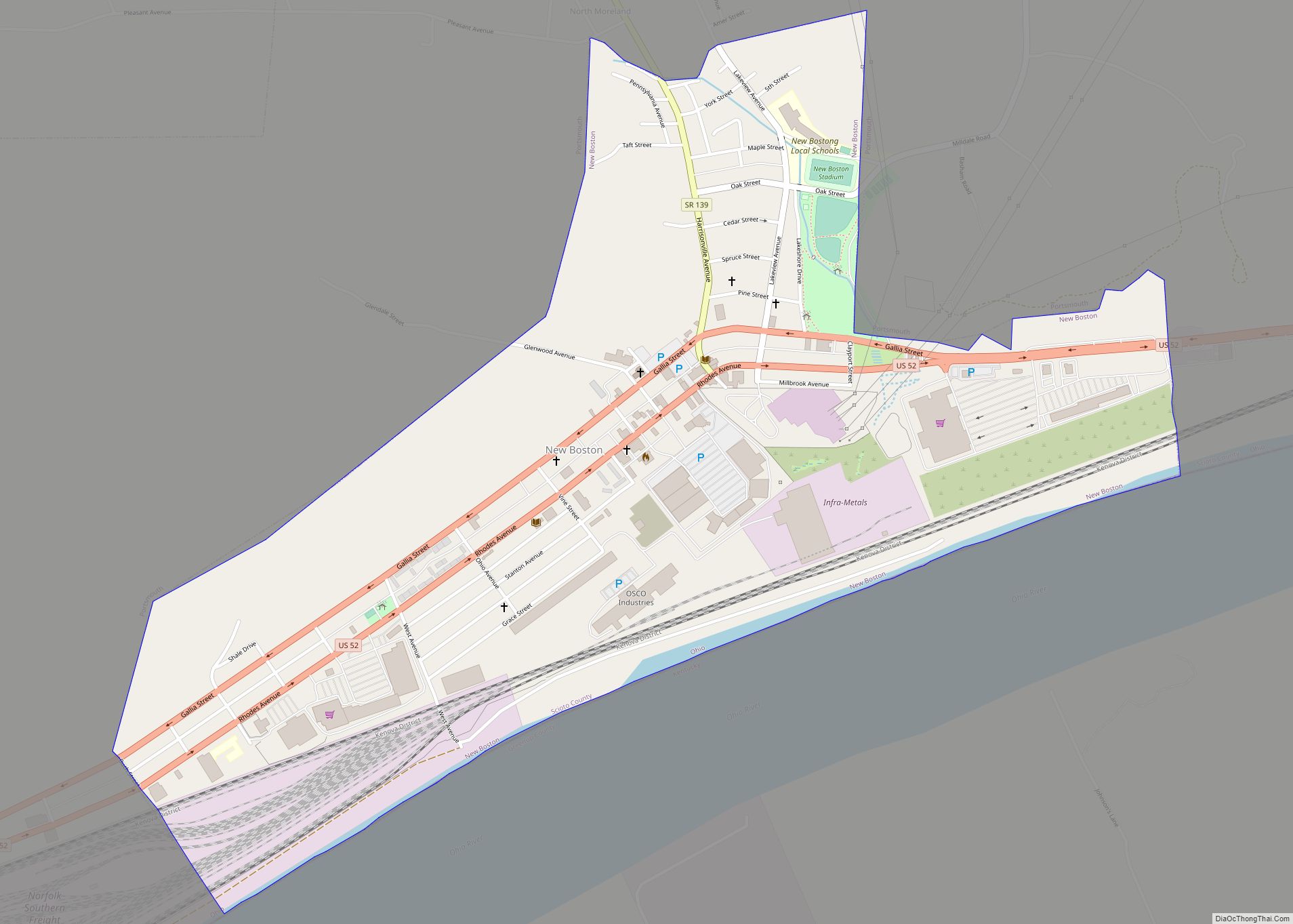
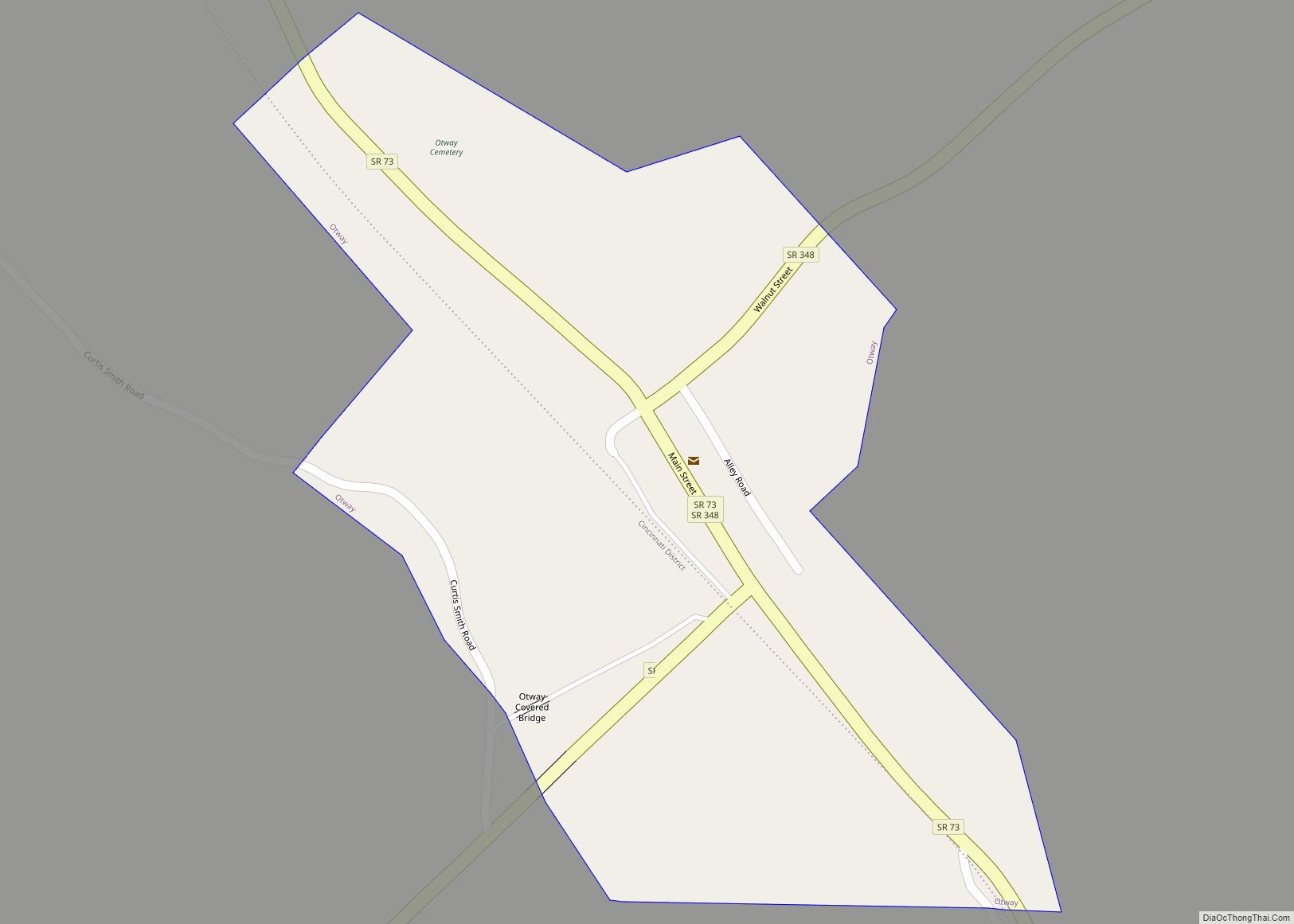
Online Interactive Map
Click on ![]() to view map in "full screen" mode.
to view map in "full screen" mode.
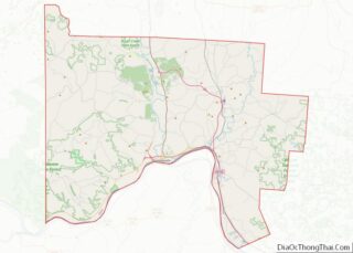
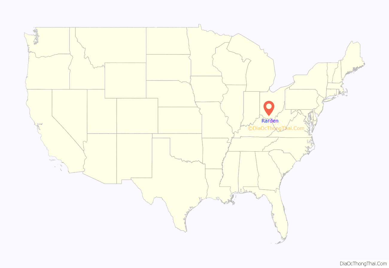
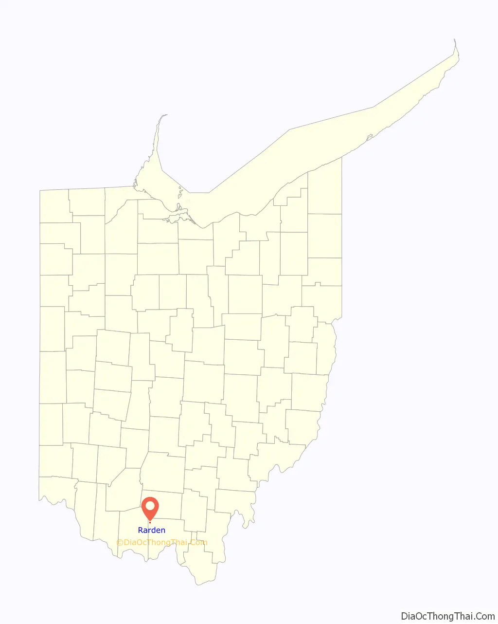
Rarden location map. Where is Rarden village?
History
The village was originally named “Moccasin” by early Pennsylvania settlers, and it originated in 1846. Orvil Grant (1835-1881), brother of Ulysses S. Grant, was an early settler of the town and named it Galena after the Grants’ family home in Galena, Illinois. The village was incorporated in 1886 and renamed in honor of an early settler, Thomas Ephrim Rarden. Five years later on January 10, 1891, Rarden Township became a separate entity from Brush Creek Township.
Rarden Volunteer Fire Department was established on Saturday, July 2nd, 1960. In 1976 it was incorporated in order to conduct bingo. It is controlled by the village council and the township trustees. George Beatty Syroney was the one that got the Rarden Volunteer Fire Department started.
A 22-room Victorian mansion was built in Rarden in 1899 by the owner of the Taylor Stone Company, Lafe Taylor, a businessman and political leader. Throughout the years, the house was used as a residence, hotel, boarding house, nursing home, and local haunted house attraction.
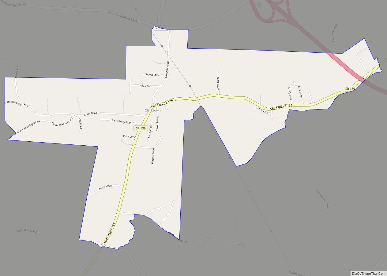
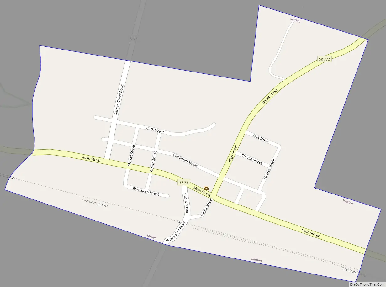
Rarden Road Map
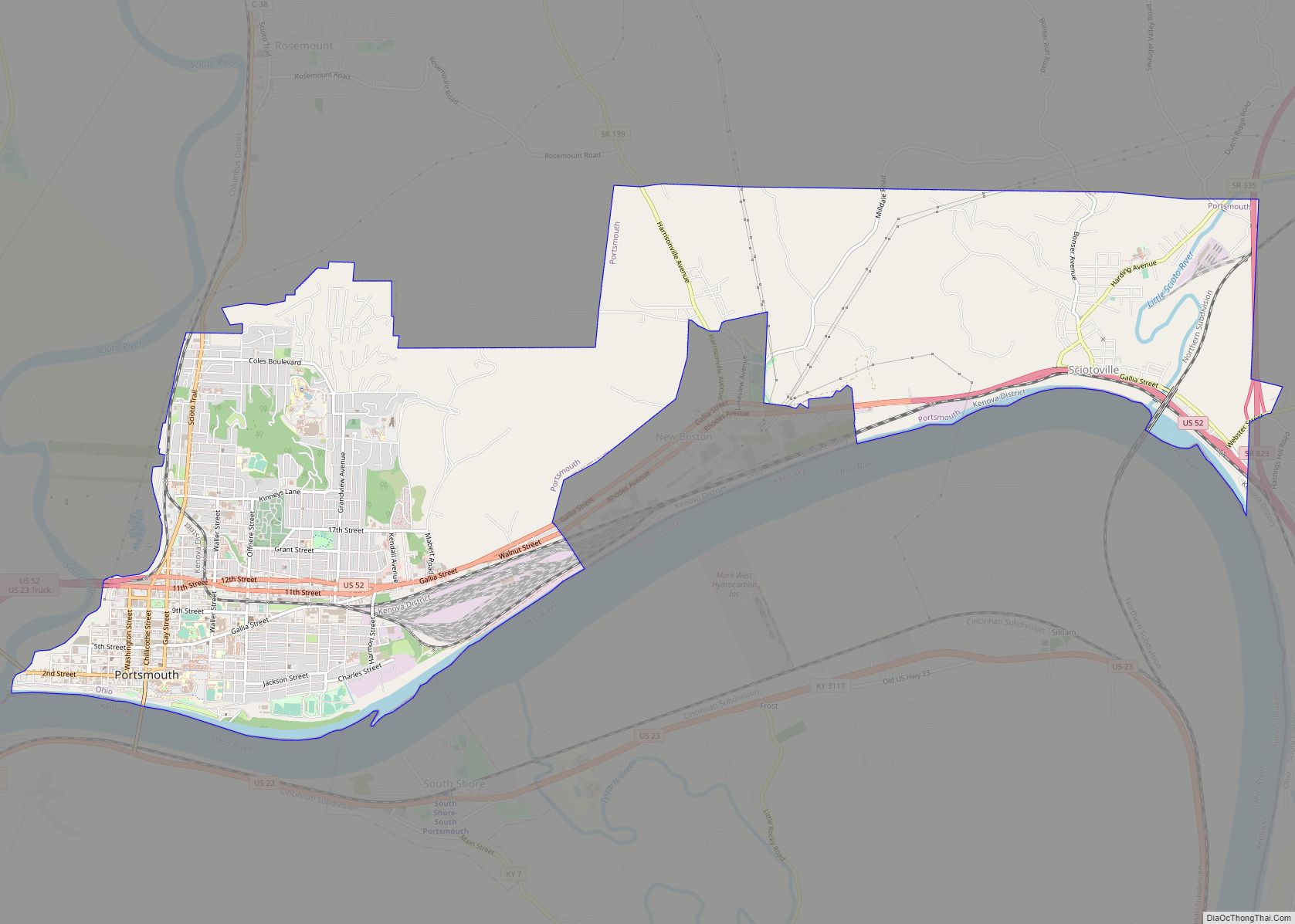
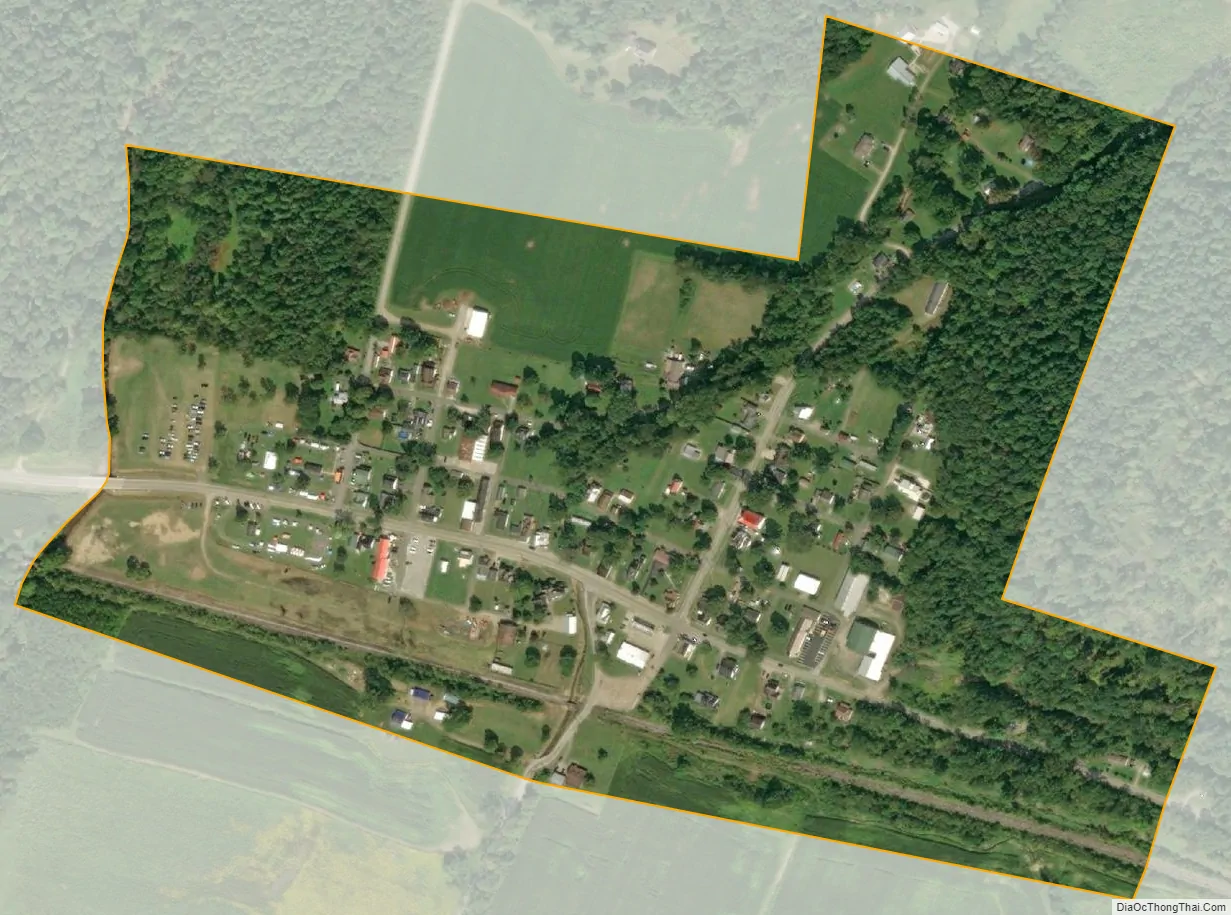
Rarden city Satellite Map
Geography
According to the United States Census Bureau, the village has a total area of 0.21 square miles (0.54 km), all land.
See also
Map of Ohio State and its subdivision:- Adams
- Allen
- Ashland
- Ashtabula
- Athens
- Auglaize
- Belmont
- Brown
- Butler
- Carroll
- Champaign
- Clark
- Clermont
- Clinton
- Columbiana
- Coshocton
- Crawford
- Cuyahoga
- Darke
- Defiance
- Delaware
- Erie
- Fairfield
- Fayette
- Franklin
- Fulton
- Gallia
- Geauga
- Greene
- Guernsey
- Hamilton
- Hancock
- Hardin
- Harrison
- Henry
- Highland
- Hocking
- Holmes
- Huron
- Jackson
- Jefferson
- Knox
- Lake
- Lake Erie
- Lawrence
- Licking
- Logan
- Lorain
- Lucas
- Madison
- Mahoning
- Marion
- Medina
- Meigs
- Mercer
- Miami
- Monroe
- Montgomery
- Morgan
- Morrow
- Muskingum
- Noble
- Ottawa
- Paulding
- Perry
- Pickaway
- Pike
- Portage
- Preble
- Putnam
- Richland
- Ross
- Sandusky
- Scioto
- Seneca
- Shelby
- Stark
- Summit
- Trumbull
- Tuscarawas
- Union
- Van Wert
- Vinton
- Warren
- Washington
- Wayne
- Williams
- Wood
- Wyandot
- Alabama
- Alaska
- Arizona
- Arkansas
- California
- Colorado
- Connecticut
- Delaware
- District of Columbia
- Florida
- Georgia
- Hawaii
- Idaho
- Illinois
- Indiana
- Iowa
- Kansas
- Kentucky
- Louisiana
- Maine
- Maryland
- Massachusetts
- Michigan
- Minnesota
- Mississippi
- Missouri
- Montana
- Nebraska
- Nevada
- New Hampshire
- New Jersey
- New Mexico
- New York
- North Carolina
- North Dakota
- Ohio
- Oklahoma
- Oregon
- Pennsylvania
- Rhode Island
- South Carolina
- South Dakota
- Tennessee
- Texas
- Utah
- Vermont
- Virginia
- Washington
- West Virginia
- Wisconsin
- Wyoming