Rendville is a village in Perry County, Ohio, United States. It is an old mining town in southeastern Appalachian Ohio. The population was 28 at the 2020 census, making it the smallest incorporated community in Ohio.
| Name: | Rendville village |
|---|---|
| LSAD Code: | 47 |
| LSAD Description: | village (suffix) |
| State: | Ohio |
| County: | Perry County |
| Elevation: | 741 ft (226 m) |
| Total Area: | 0.31 sq mi (0.81 km²) |
| Land Area: | 0.31 sq mi (0.81 km²) |
| Water Area: | 0.00 sq mi (0.00 km²) |
| Total Population: | 28 |
| Population Density: | 89.74/sq mi (34.68/km²) |
| Area code: | 740 |
| FIPS code: | 3966222 |
| GNISfeature ID: | 1076726 |
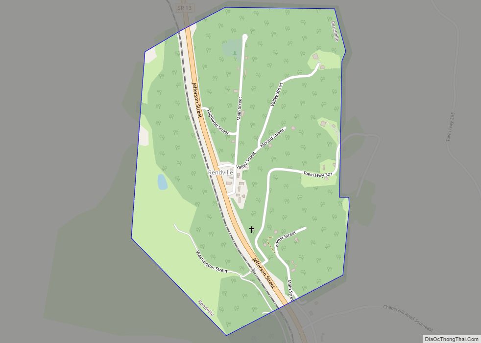
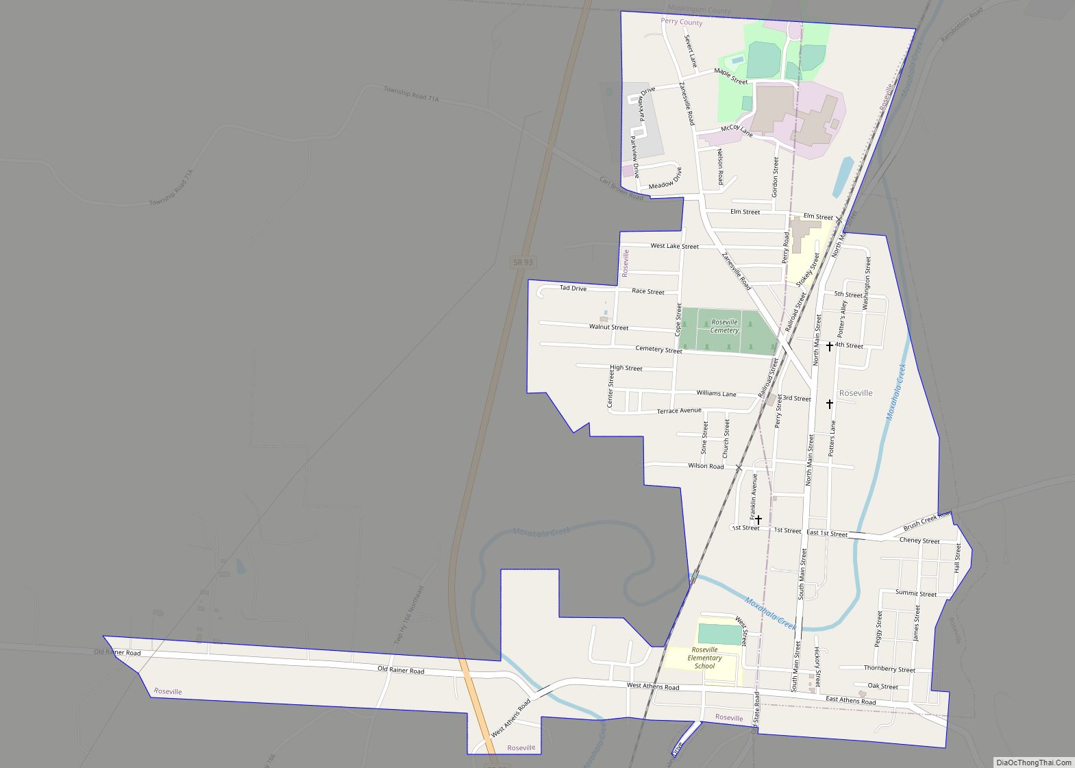
Online Interactive Map
Click on ![]() to view map in "full screen" mode.
to view map in "full screen" mode.
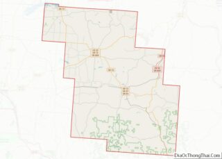
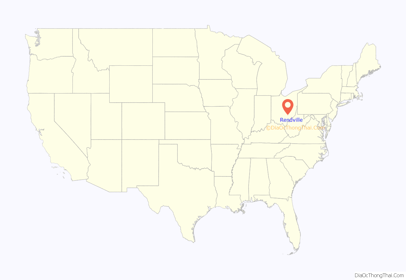
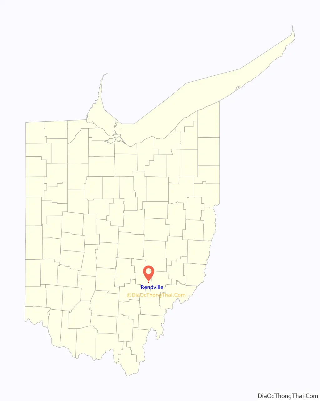
Rendville location map. Where is Rendville village?
History
Rendville was founded in 1879 by William P. Rend, and named after him. A post office was established at Rendville in 1879, and remained in operation until 1982. In 1888, Isiah Tuppins was elected as the first African-American mayor in Ohio.
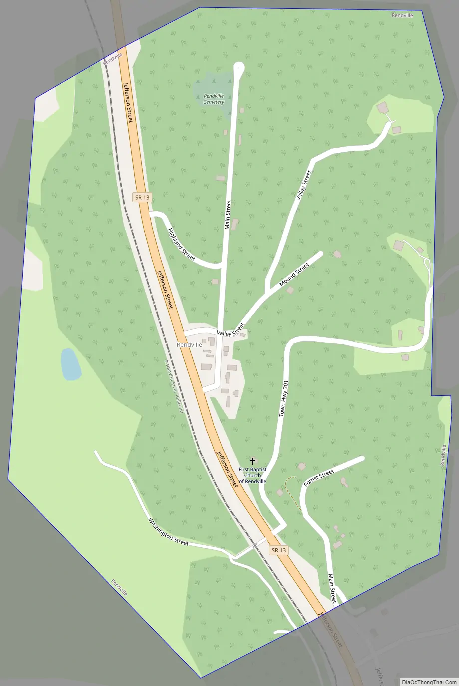
Rendville Road Map
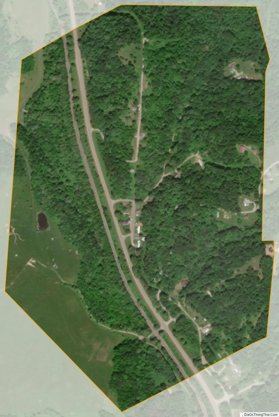
Rendville city Satellite Map
Geography
Rendville is located at 39°37′2″N 82°5′22″W / 39.61722°N 82.08944°W / 39.61722; -82.08944 (39.617164, -82.089334), along Sunday Creek.
According to the United States Census Bureau, the village has a total area of 0.31 square miles (0.80 km), all land.
See also
Map of Ohio State and its subdivision:- Adams
- Allen
- Ashland
- Ashtabula
- Athens
- Auglaize
- Belmont
- Brown
- Butler
- Carroll
- Champaign
- Clark
- Clermont
- Clinton
- Columbiana
- Coshocton
- Crawford
- Cuyahoga
- Darke
- Defiance
- Delaware
- Erie
- Fairfield
- Fayette
- Franklin
- Fulton
- Gallia
- Geauga
- Greene
- Guernsey
- Hamilton
- Hancock
- Hardin
- Harrison
- Henry
- Highland
- Hocking
- Holmes
- Huron
- Jackson
- Jefferson
- Knox
- Lake
- Lake Erie
- Lawrence
- Licking
- Logan
- Lorain
- Lucas
- Madison
- Mahoning
- Marion
- Medina
- Meigs
- Mercer
- Miami
- Monroe
- Montgomery
- Morgan
- Morrow
- Muskingum
- Noble
- Ottawa
- Paulding
- Perry
- Pickaway
- Pike
- Portage
- Preble
- Putnam
- Richland
- Ross
- Sandusky
- Scioto
- Seneca
- Shelby
- Stark
- Summit
- Trumbull
- Tuscarawas
- Union
- Van Wert
- Vinton
- Warren
- Washington
- Wayne
- Williams
- Wood
- Wyandot
- Alabama
- Alaska
- Arizona
- Arkansas
- California
- Colorado
- Connecticut
- Delaware
- District of Columbia
- Florida
- Georgia
- Hawaii
- Idaho
- Illinois
- Indiana
- Iowa
- Kansas
- Kentucky
- Louisiana
- Maine
- Maryland
- Massachusetts
- Michigan
- Minnesota
- Mississippi
- Missouri
- Montana
- Nebraska
- Nevada
- New Hampshire
- New Jersey
- New Mexico
- New York
- North Carolina
- North Dakota
- Ohio
- Oklahoma
- Oregon
- Pennsylvania
- Rhode Island
- South Carolina
- South Dakota
- Tennessee
- Texas
- Utah
- Vermont
- Virginia
- Washington
- West Virginia
- Wisconsin
- Wyoming