Republic is a village in Seneca County, Ohio, United States. The population was 549 at the 2010 census.
| Name: | Republic village |
|---|---|
| LSAD Code: | 47 |
| LSAD Description: | village (suffix) |
| State: | Ohio |
| County: | Seneca County |
| Elevation: | 879 ft (268 m) |
| Total Area: | 0.86 sq mi (2.23 km²) |
| Land Area: | 0.86 sq mi (2.23 km²) |
| Water Area: | 0.00 sq mi (0.00 km²) |
| Total Population: | 556 |
| Population Density: | 645.01/sq mi (248.97/km²) |
| ZIP code: | 44867 |
| Area code: | 419 |
| FIPS code: | 3966320 |
| GNISfeature ID: | 1061596 |
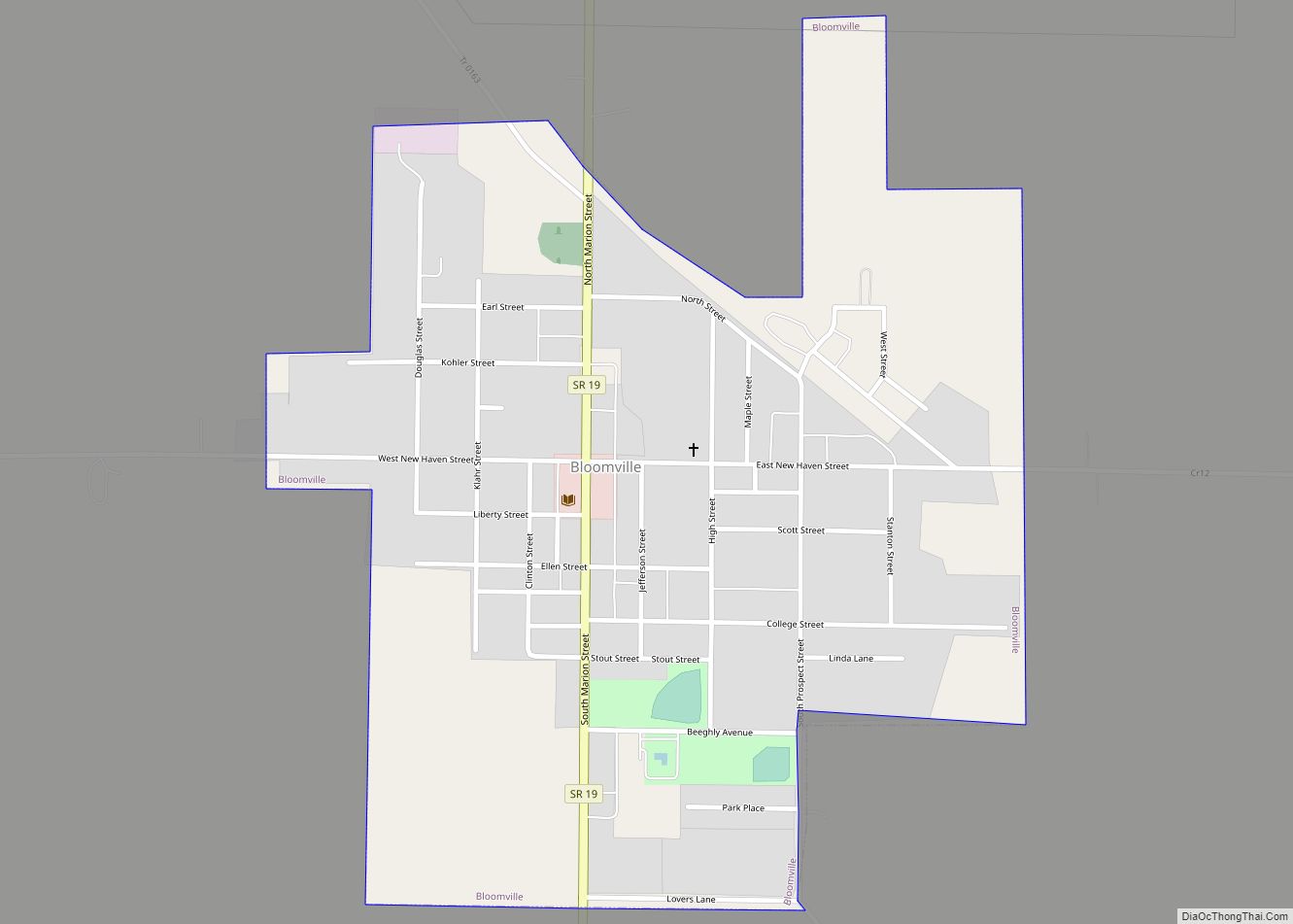
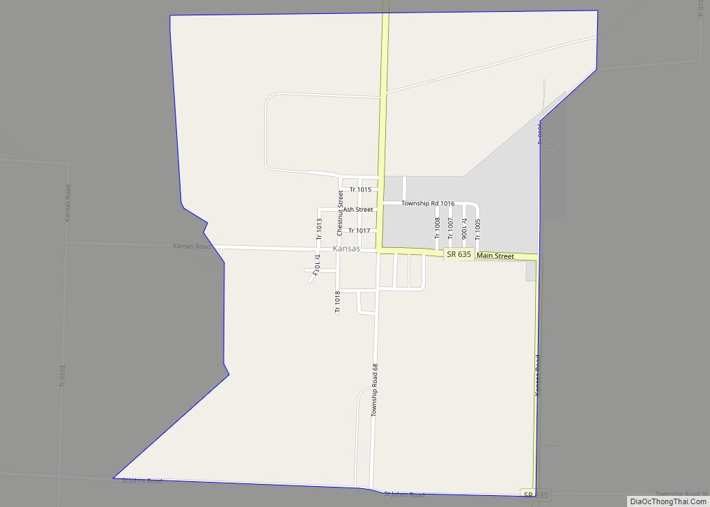
Online Interactive Map
Click on ![]() to view map in "full screen" mode.
to view map in "full screen" mode.
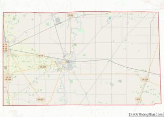
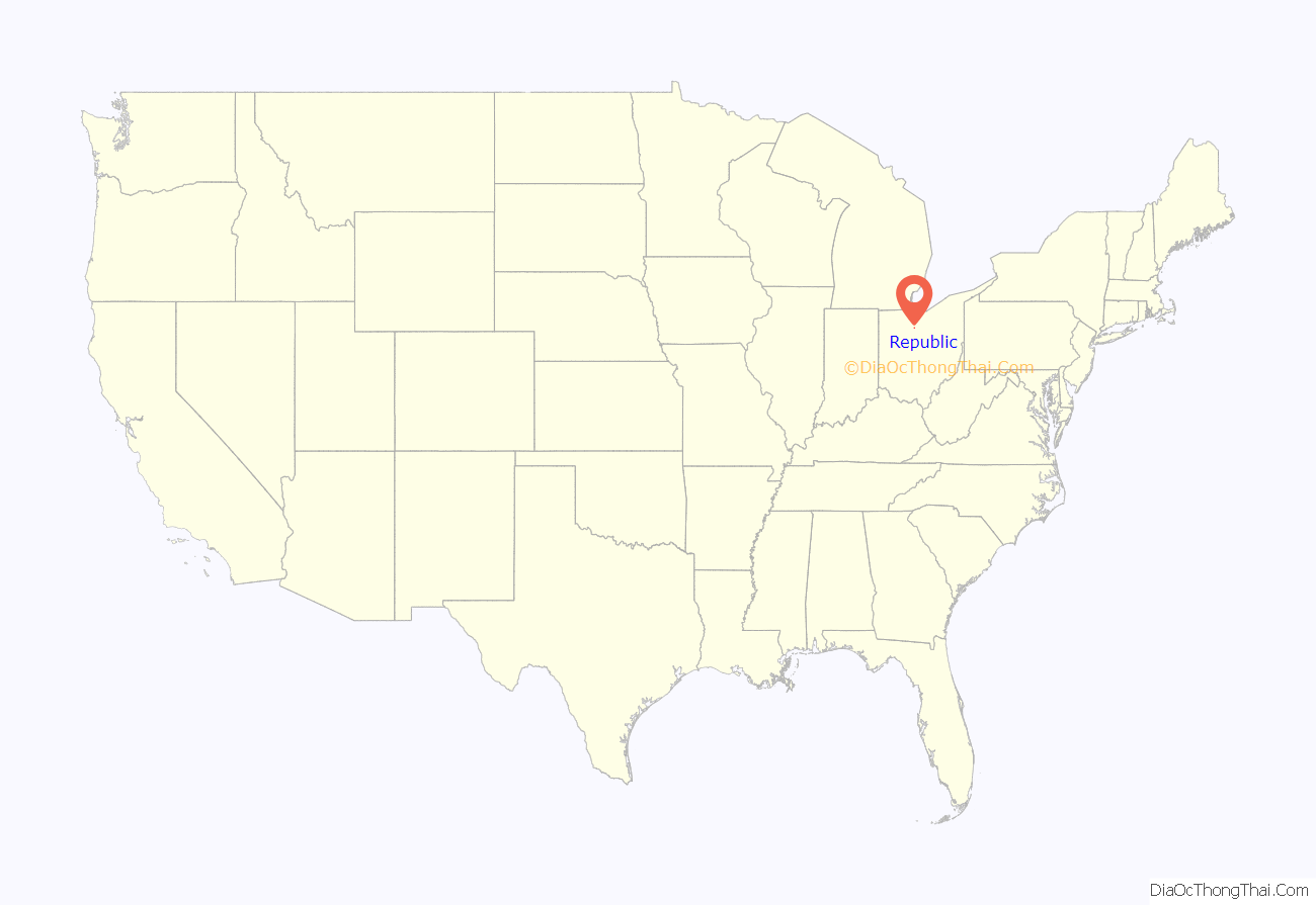
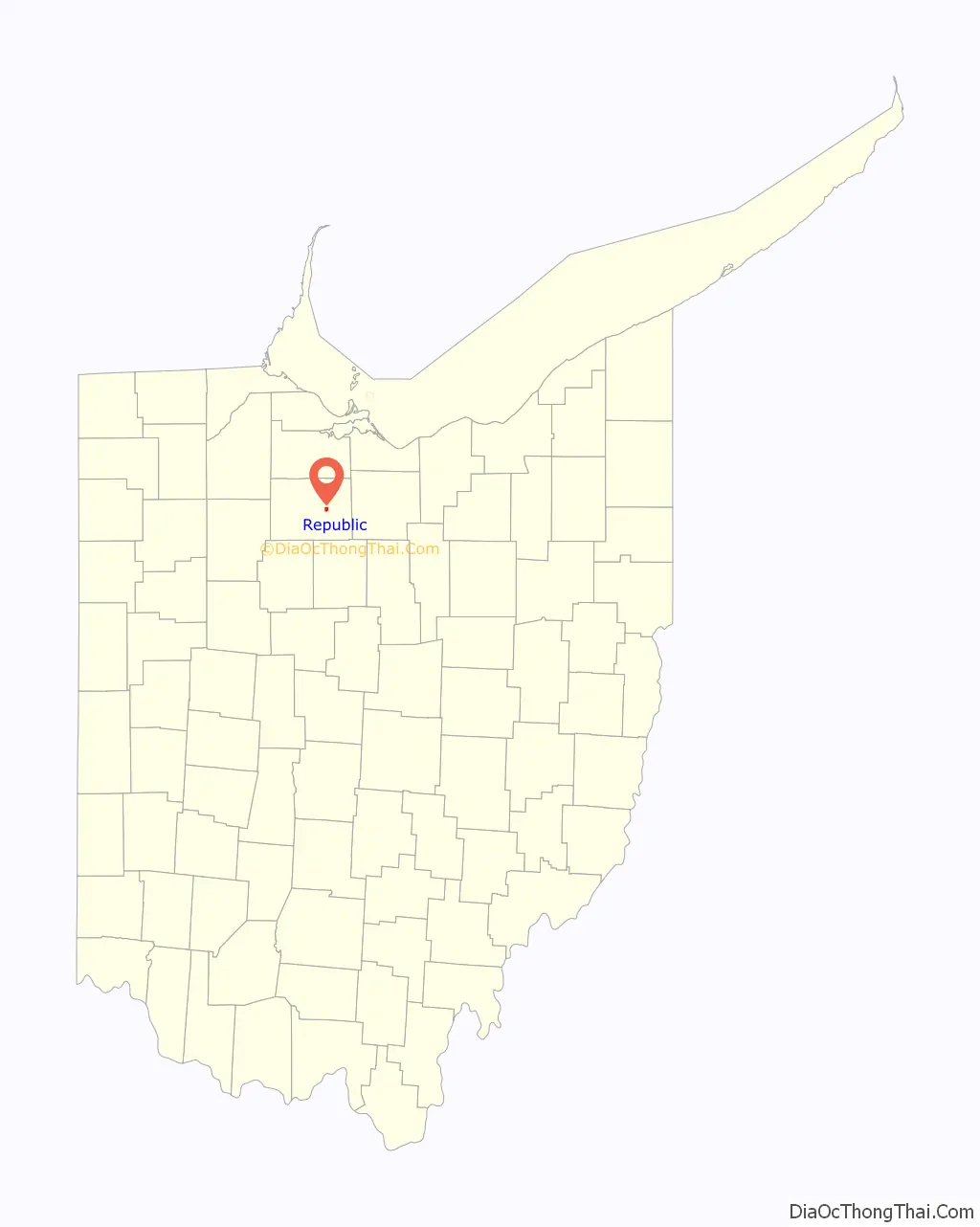
Republic location map. Where is Republic village?
History
In 1834, Sidney Smith hired R.M. Shoemaker of Cincinnati to survey a new town at the corners of sections 15, 16, 21, and 22 in Scipio Township. He called it “Republic,” though it was known by many early settlers simply as “Scipio Center.”
With the arrival of a rail line from Sandusky in 1841, Republic became a popular trading center. Stores, warehouses, shops, and factories sprang up almost overnight. A second rail line was contemplated to run between Republic and Melmore in Eden Township.
When the old Seneca County courthouse at Tiffin burned on May 21, 1841, efforts were made to designate Republic as the county seat, but these were unsuccessful. Republic’s fortunes began to decline when the new Cincinnati, Sandusky & Cleveland Railroad bypassed it to make a straight run to Tiffin.
The town was stimulated by the construction of the Baltimore and Ohio Railroad. The railroad passes via an arch bridge over what is now State Route 19. On January 4, 1887, just west of town on the railroad was the site of an accident designated the “Republic Horror” when the westbound B & O Express No. 5 collided head on with a stalled eastbound freight train.
Republic’s motto is “Small in Size, Big in Heart.” Written by Seneca East student Michelle Wheatley, it was selected in a contest of popular submissions.
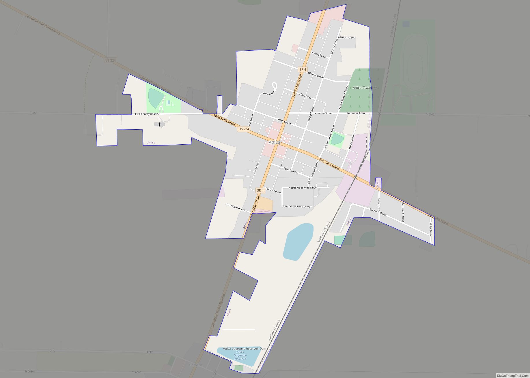
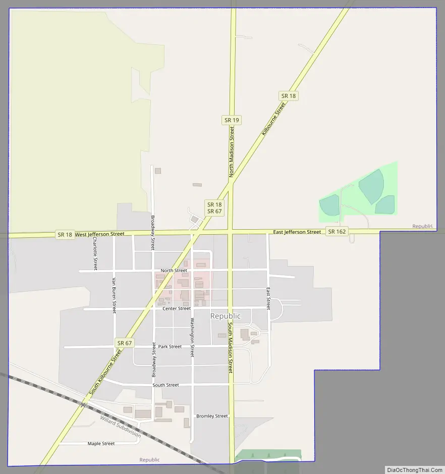
Republic Road Map
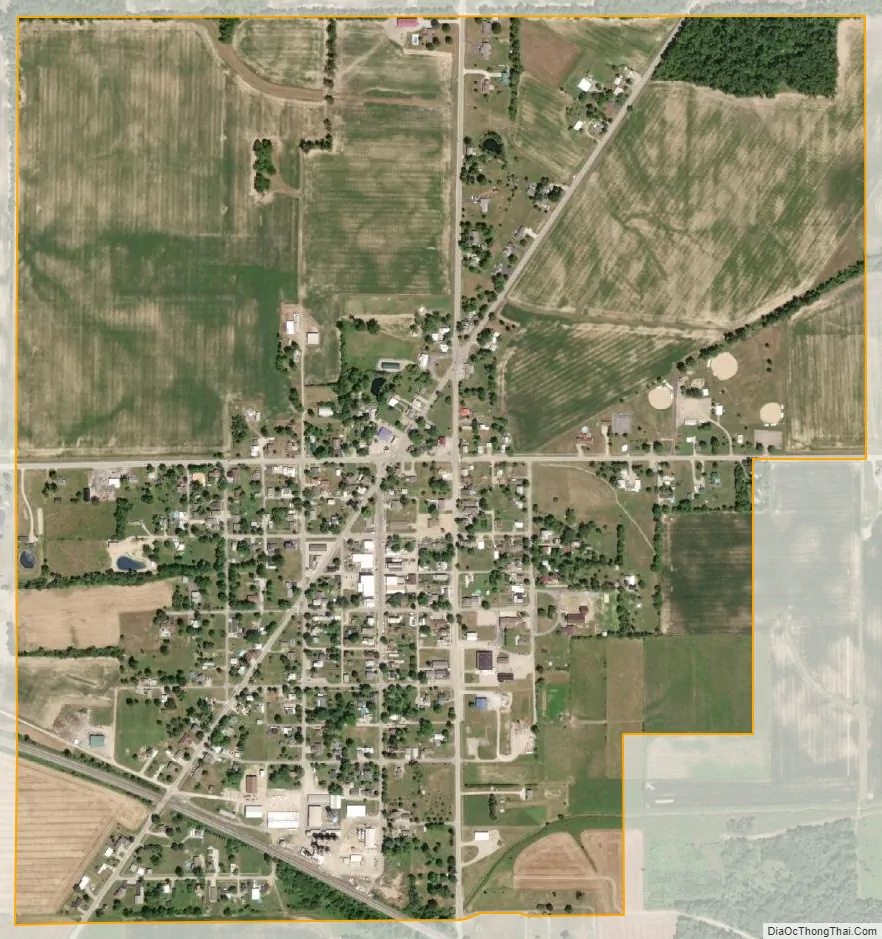
Republic city Satellite Map
Geography
Republic is located at 41°7′18″N 83°1′3″W / 41.12167°N 83.01750°W / 41.12167; -83.01750 (41.121793, -83.017478).
According to the United States Census Bureau, the village has a total area of 0.86 square miles (2.23 km), all land.
See also
Map of Ohio State and its subdivision:- Adams
- Allen
- Ashland
- Ashtabula
- Athens
- Auglaize
- Belmont
- Brown
- Butler
- Carroll
- Champaign
- Clark
- Clermont
- Clinton
- Columbiana
- Coshocton
- Crawford
- Cuyahoga
- Darke
- Defiance
- Delaware
- Erie
- Fairfield
- Fayette
- Franklin
- Fulton
- Gallia
- Geauga
- Greene
- Guernsey
- Hamilton
- Hancock
- Hardin
- Harrison
- Henry
- Highland
- Hocking
- Holmes
- Huron
- Jackson
- Jefferson
- Knox
- Lake
- Lake Erie
- Lawrence
- Licking
- Logan
- Lorain
- Lucas
- Madison
- Mahoning
- Marion
- Medina
- Meigs
- Mercer
- Miami
- Monroe
- Montgomery
- Morgan
- Morrow
- Muskingum
- Noble
- Ottawa
- Paulding
- Perry
- Pickaway
- Pike
- Portage
- Preble
- Putnam
- Richland
- Ross
- Sandusky
- Scioto
- Seneca
- Shelby
- Stark
- Summit
- Trumbull
- Tuscarawas
- Union
- Van Wert
- Vinton
- Warren
- Washington
- Wayne
- Williams
- Wood
- Wyandot
- Alabama
- Alaska
- Arizona
- Arkansas
- California
- Colorado
- Connecticut
- Delaware
- District of Columbia
- Florida
- Georgia
- Hawaii
- Idaho
- Illinois
- Indiana
- Iowa
- Kansas
- Kentucky
- Louisiana
- Maine
- Maryland
- Massachusetts
- Michigan
- Minnesota
- Mississippi
- Missouri
- Montana
- Nebraska
- Nevada
- New Hampshire
- New Jersey
- New Mexico
- New York
- North Carolina
- North Dakota
- Ohio
- Oklahoma
- Oregon
- Pennsylvania
- Rhode Island
- South Carolina
- South Dakota
- Tennessee
- Texas
- Utah
- Vermont
- Virginia
- Washington
- West Virginia
- Wisconsin
- Wyoming