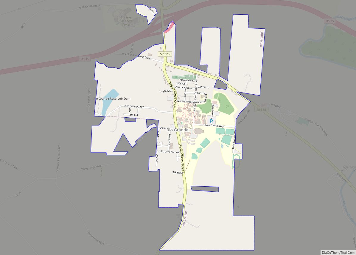
Rio Grande (/ˈraɪoʊ ˈɡrænd/ RY-oh GRAND) is a village in Gallia County, Ohio, United States. The population was 724 at the 2020 census. It is part of the rural Point Pleasant micropolitan area. Although the town is named after the river in the southern United States, its name is pronounced “Rye-O Grand” rather than the traditional Spanish pronunciation so that it rhymes with “Ohio.”
Rio Grande is home to the University of Rio Grande/Rio Grande Community College, the alma mater of Bevo Francis, who set and until recently still held the NCAA basketball single-game scoring record. It is also the original location of Bob Evans Restaurants. The restaurant chain began as a single truck stop diner in Rio Grande.
| Name: | Rio Grande village |
|---|---|
| LSAD Code: | 47 |
| LSAD Description: | village (suffix) |
| State: | Ohio |
| County: | Gallia County |
| Elevation: | 650 ft (198 m) |
| Total Area: | 1.39 sq mi (3.59 km²) |
| Land Area: | 1.38 sq mi (3.56 km²) |
| Water Area: | 0.01 sq mi (0.03 km²) |
| Total Population: | 724 |
| Population Density: | 526.55/sq mi (203.31/km²) |
| ZIP code: | 45674 |
| Area code: | 740 |
| FIPS code: | 3967258 |
| GNISfeature ID: | 1076745 |
Online Interactive Map
Click on ![]() to view map in "full screen" mode.
to view map in "full screen" mode.
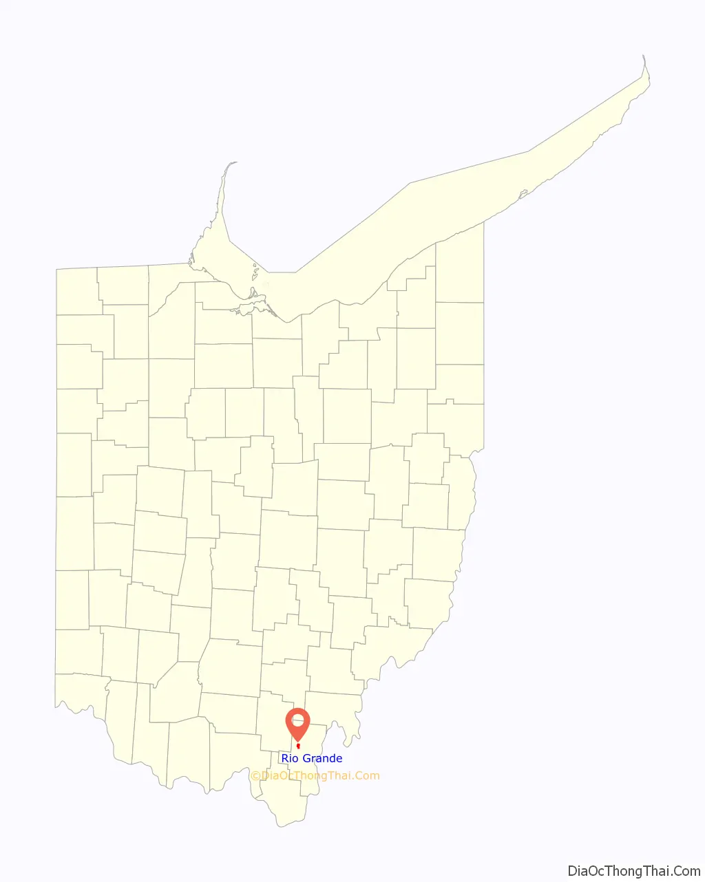
Rio Grande location map. Where is Rio Grande village?

History
Rio Grande was established on July 6, 1874. The name of Rio Grande was chosen to commemorate the Mexican–American War.
Despite Gallia County being named for its original French settlers, Welsh immigrants began to arrive to the area in 1818, and during the 1830s and 1840s, more than 3,000 more arrived from the parishes of Pennant, Tregaron, Llangeitho, Trefilan, Llangwyryfon, and Llanddeiniolen in Ceredigion (then known as Cardiganshire). The original settlers are referred to as the “1818 Welsh” and were responsible for writing home and convincing others to come to Gallia and Jackson counties. Rio Grande’s Welsh heritage is reflected in their village flag, which is identical to the Flag of Wales, with the name and establishment year included.
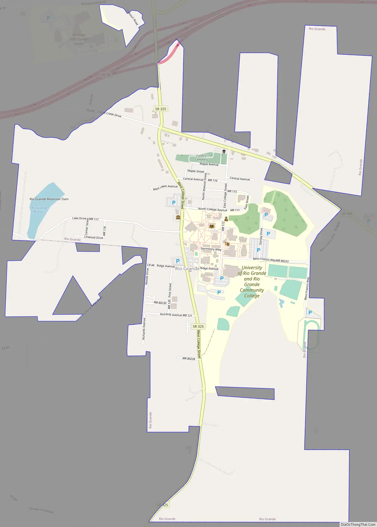
Rio Grande Road Map
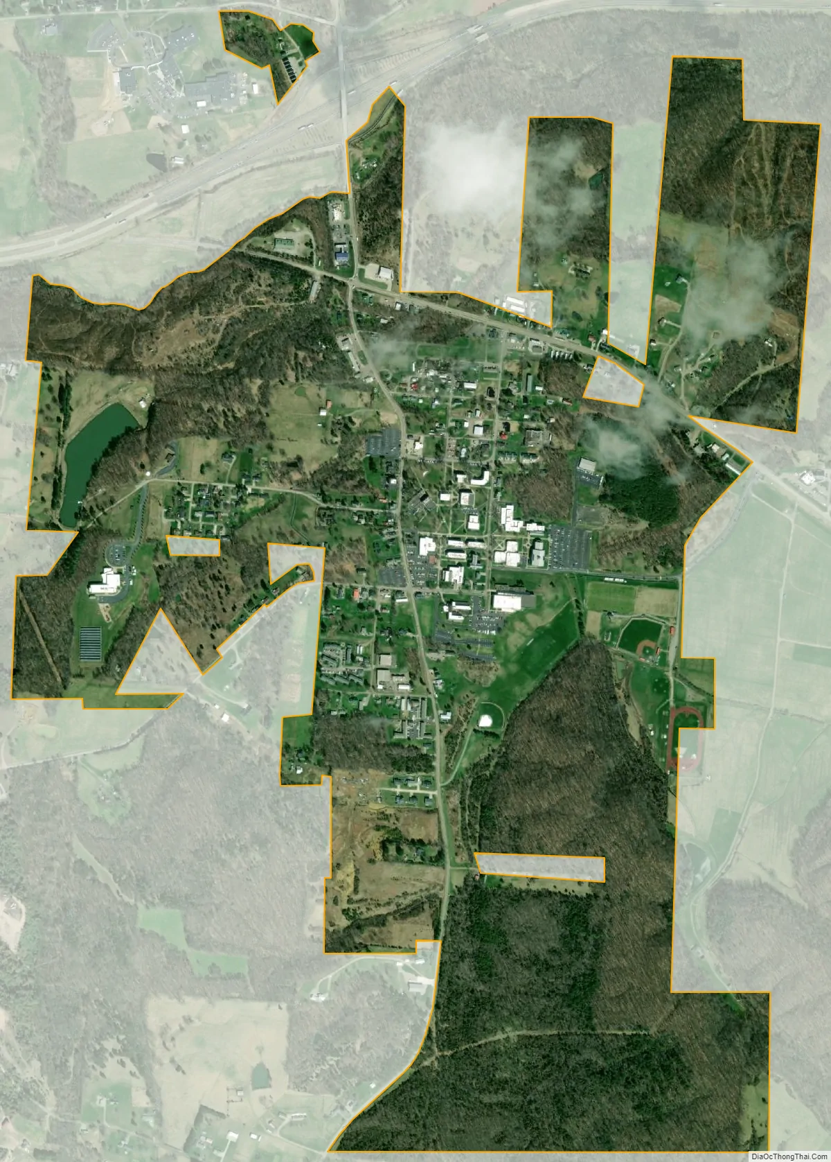
Rio Grande city Satellite Map
Geography
Rio Grande is located at 38°53′1″N 82°22′48″W / 38.88361°N 82.38000°W / 38.88361; -82.38000 (38.883731, -82.379968).
According to the United States Census Bureau, the village has a total area of 1.37 square miles (3.55 km), of which 1.36 square miles (3.52 km) is land and 0.01 square miles (0.03 km) is water.
Rio Grande is located very close to Raccoon Creek, a tributary of the Ohio River.
See also
Map of Ohio State and its subdivision:- Adams
- Allen
- Ashland
- Ashtabula
- Athens
- Auglaize
- Belmont
- Brown
- Butler
- Carroll
- Champaign
- Clark
- Clermont
- Clinton
- Columbiana
- Coshocton
- Crawford
- Cuyahoga
- Darke
- Defiance
- Delaware
- Erie
- Fairfield
- Fayette
- Franklin
- Fulton
- Gallia
- Geauga
- Greene
- Guernsey
- Hamilton
- Hancock
- Hardin
- Harrison
- Henry
- Highland
- Hocking
- Holmes
- Huron
- Jackson
- Jefferson
- Knox
- Lake
- Lake Erie
- Lawrence
- Licking
- Logan
- Lorain
- Lucas
- Madison
- Mahoning
- Marion
- Medina
- Meigs
- Mercer
- Miami
- Monroe
- Montgomery
- Morgan
- Morrow
- Muskingum
- Noble
- Ottawa
- Paulding
- Perry
- Pickaway
- Pike
- Portage
- Preble
- Putnam
- Richland
- Ross
- Sandusky
- Scioto
- Seneca
- Shelby
- Stark
- Summit
- Trumbull
- Tuscarawas
- Union
- Van Wert
- Vinton
- Warren
- Washington
- Wayne
- Williams
- Wood
- Wyandot
- Alabama
- Alaska
- Arizona
- Arkansas
- California
- Colorado
- Connecticut
- Delaware
- District of Columbia
- Florida
- Georgia
- Hawaii
- Idaho
- Illinois
- Indiana
- Iowa
- Kansas
- Kentucky
- Louisiana
- Maine
- Maryland
- Massachusetts
- Michigan
- Minnesota
- Mississippi
- Missouri
- Montana
- Nebraska
- Nevada
- New Hampshire
- New Jersey
- New Mexico
- New York
- North Carolina
- North Dakota
- Ohio
- Oklahoma
- Oregon
- Pennsylvania
- Rhode Island
- South Carolina
- South Dakota
- Tennessee
- Texas
- Utah
- Vermont
- Virginia
- Washington
- West Virginia
- Wisconsin
- Wyoming