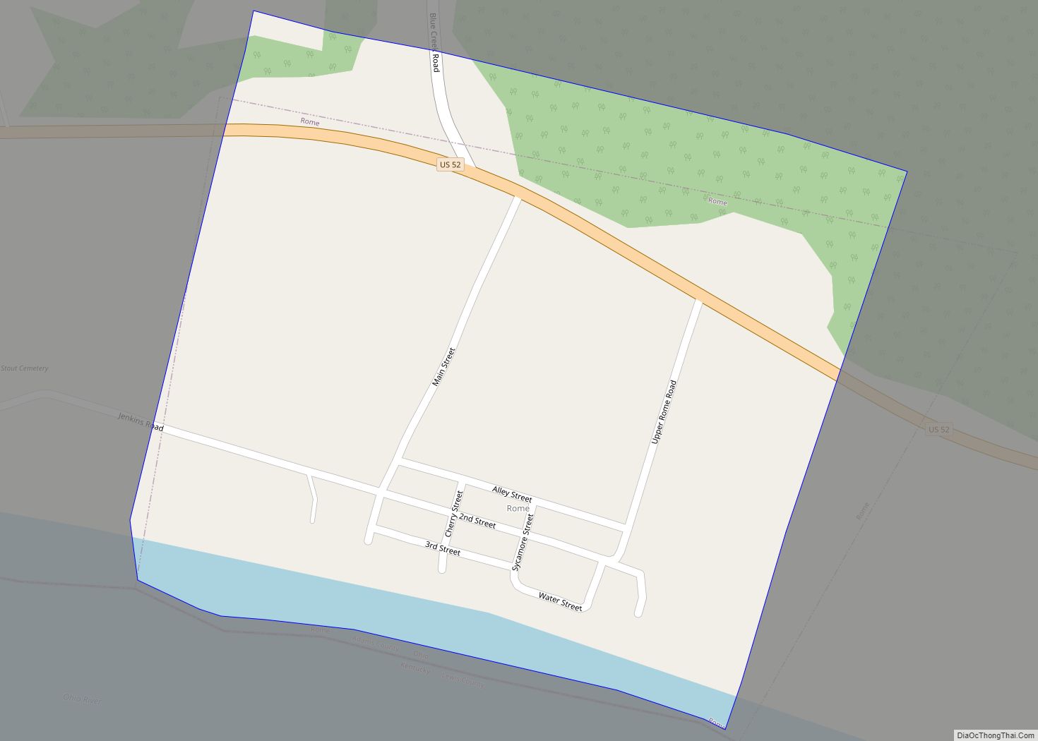
Rome, also known as Stout, is a village in Green Township, Adams County, Ohio, United States, along the Ohio River. The population was 83 at the 2020 census.
| Name: | Rome (Stout) village |
|---|---|
| LSAD Code: | 47 |
| LSAD Description: | village (suffix) |
| State: | Ohio |
| County: | Adams County |
| Total Area: | 0.25 sq mi (0.66 km²) |
| Land Area: | 0.23 sq mi (0.60 km²) |
| Water Area: | 0.02 sq mi (0.06 km²) |
| Total Population: | 83 |
| Population Density: | 360.87/sq mi (139.19/km²) |
| ZIP code: | 44085 |
| Area code: | 440 |
| FIPS code: | 3968196 |
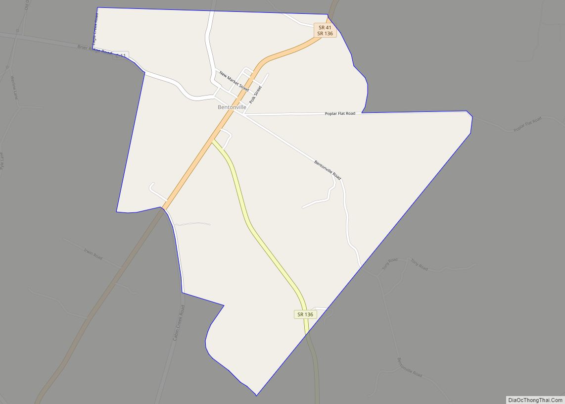
Online Interactive Map
Click on ![]() to view map in "full screen" mode.
to view map in "full screen" mode.
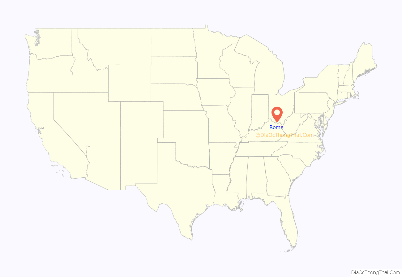
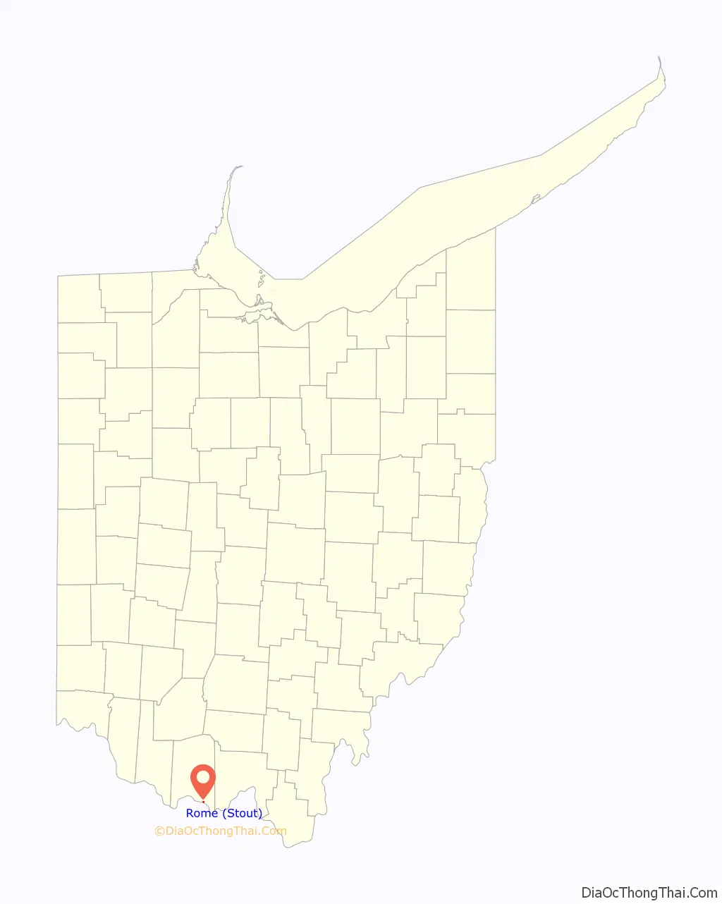
Rome location map. Where is Rome (Stout) village?
History
Rome was laid out in 1835 by William Stout. The village was named after Rome, Italy, according to local history. While the village is officially named Rome, it is often called “Stout”; even the community’s post office is named “Stout,” not “Rome.” A post office called Stout has been in operation since 1893.
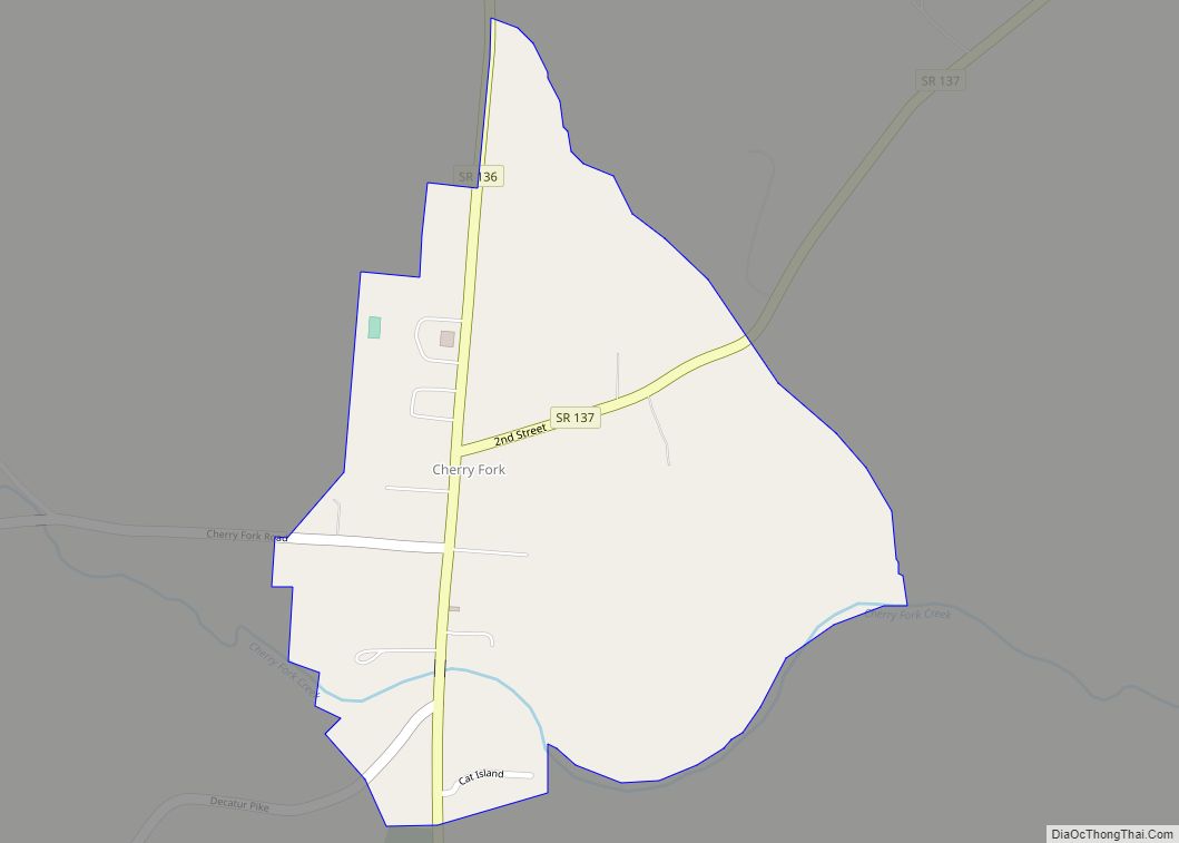
Rome Road Map

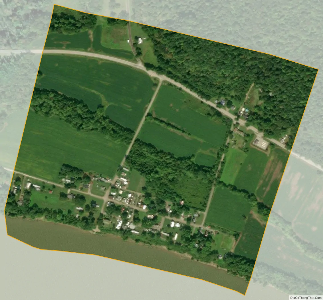
Rome city Satellite Map
Geography
According to the United States Census Bureau, the village has a total area of 0.26 square miles (0.67 km), of which 0.23 square miles (0.60 km) is land and 0.03 square miles (0.08 km) is water.
U.S. Route 52 passes to the north of Rome.
See also
Map of Ohio State and its subdivision:- Adams
- Allen
- Ashland
- Ashtabula
- Athens
- Auglaize
- Belmont
- Brown
- Butler
- Carroll
- Champaign
- Clark
- Clermont
- Clinton
- Columbiana
- Coshocton
- Crawford
- Cuyahoga
- Darke
- Defiance
- Delaware
- Erie
- Fairfield
- Fayette
- Franklin
- Fulton
- Gallia
- Geauga
- Greene
- Guernsey
- Hamilton
- Hancock
- Hardin
- Harrison
- Henry
- Highland
- Hocking
- Holmes
- Huron
- Jackson
- Jefferson
- Knox
- Lake
- Lake Erie
- Lawrence
- Licking
- Logan
- Lorain
- Lucas
- Madison
- Mahoning
- Marion
- Medina
- Meigs
- Mercer
- Miami
- Monroe
- Montgomery
- Morgan
- Morrow
- Muskingum
- Noble
- Ottawa
- Paulding
- Perry
- Pickaway
- Pike
- Portage
- Preble
- Putnam
- Richland
- Ross
- Sandusky
- Scioto
- Seneca
- Shelby
- Stark
- Summit
- Trumbull
- Tuscarawas
- Union
- Van Wert
- Vinton
- Warren
- Washington
- Wayne
- Williams
- Wood
- Wyandot
- Alabama
- Alaska
- Arizona
- Arkansas
- California
- Colorado
- Connecticut
- Delaware
- District of Columbia
- Florida
- Georgia
- Hawaii
- Idaho
- Illinois
- Indiana
- Iowa
- Kansas
- Kentucky
- Louisiana
- Maine
- Maryland
- Massachusetts
- Michigan
- Minnesota
- Mississippi
- Missouri
- Montana
- Nebraska
- Nevada
- New Hampshire
- New Jersey
- New Mexico
- New York
- North Carolina
- North Dakota
- Ohio
- Oklahoma
- Oregon
- Pennsylvania
- Rhode Island
- South Carolina
- South Dakota
- Tennessee
- Texas
- Utah
- Vermont
- Virginia
- Washington
- West Virginia
- Wisconsin
- Wyoming