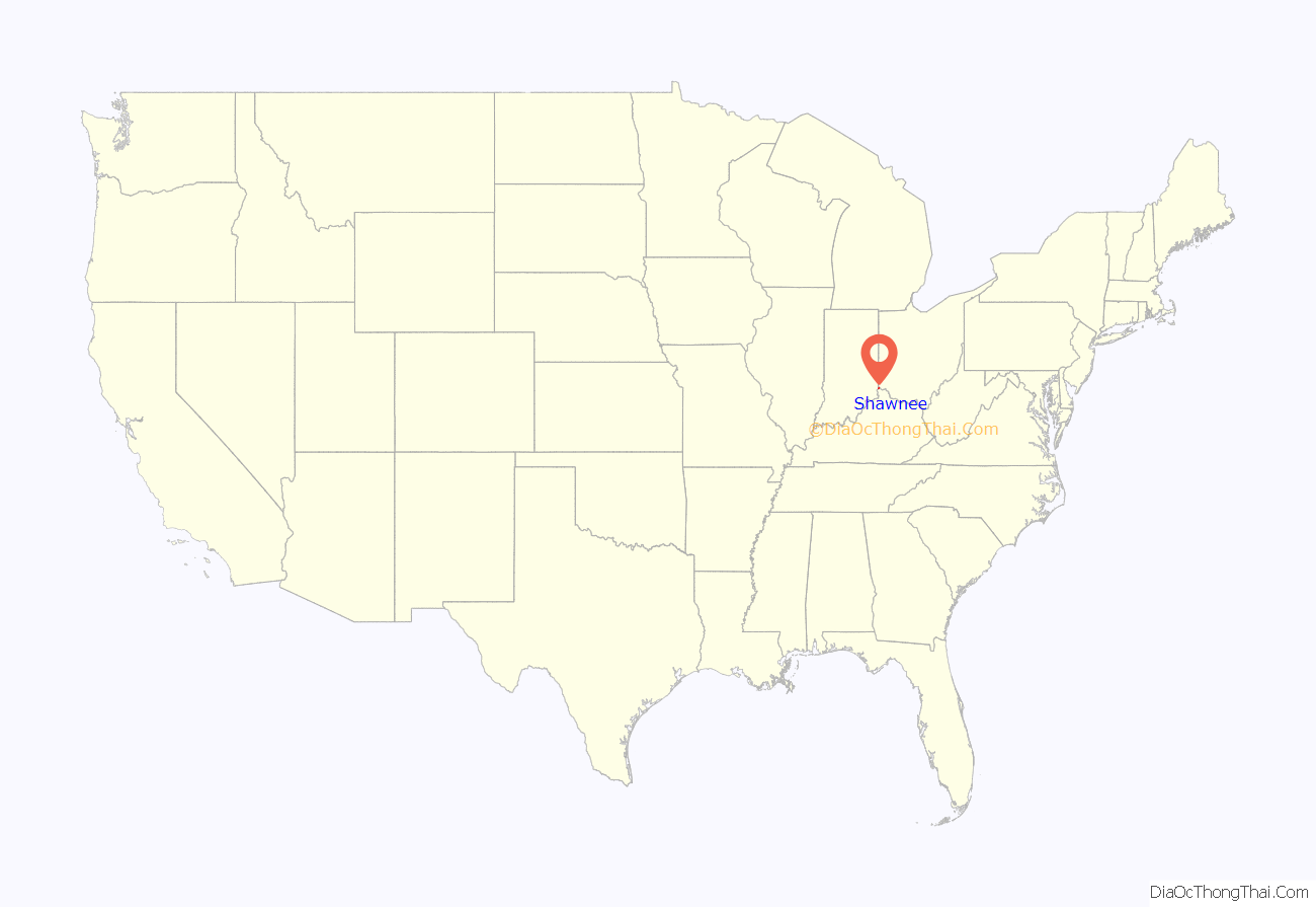
Shawnee is a census-designated place (CDP) in Miami Township, Hamilton County, Ohio, United States, 21 miles (34 km) west of downtown Cincinnati. The population of Shawnee was 747 at the 2020 census.
| Name: | Shawnee CDP |
|---|---|
| LSAD Code: | 57 |
| LSAD Description: | CDP (suffix) |
| State: | Ohio |
| County: | Hamilton County |
| Elevation: | 730 ft (220 m) |
| Total Area: | 6.94 sq mi (17.97 km²) |
| Land Area: | 6.42 sq mi (16.62 km²) |
| Water Area: | 0.52 sq mi (1.36 km²) |
| Total Population: | 747 |
| Population Density: | 116.41/sq mi (44.95/km²) |
| FIPS code: | 3971958 |
Online Interactive Map
Click on ![]() to view map in "full screen" mode.
to view map in "full screen" mode.
Shawnee location map. Where is Shawnee CDP?
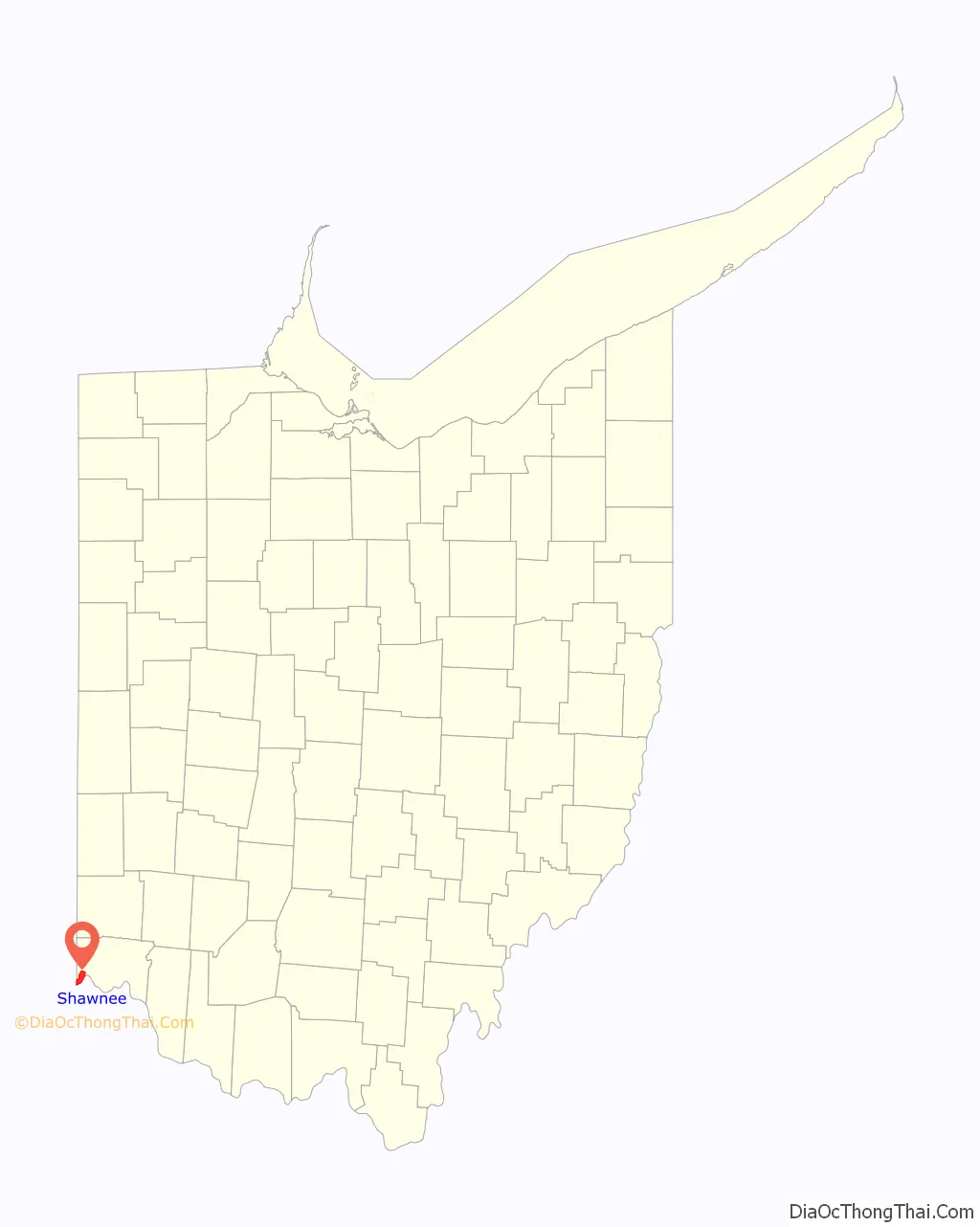
Shawnee Road Map
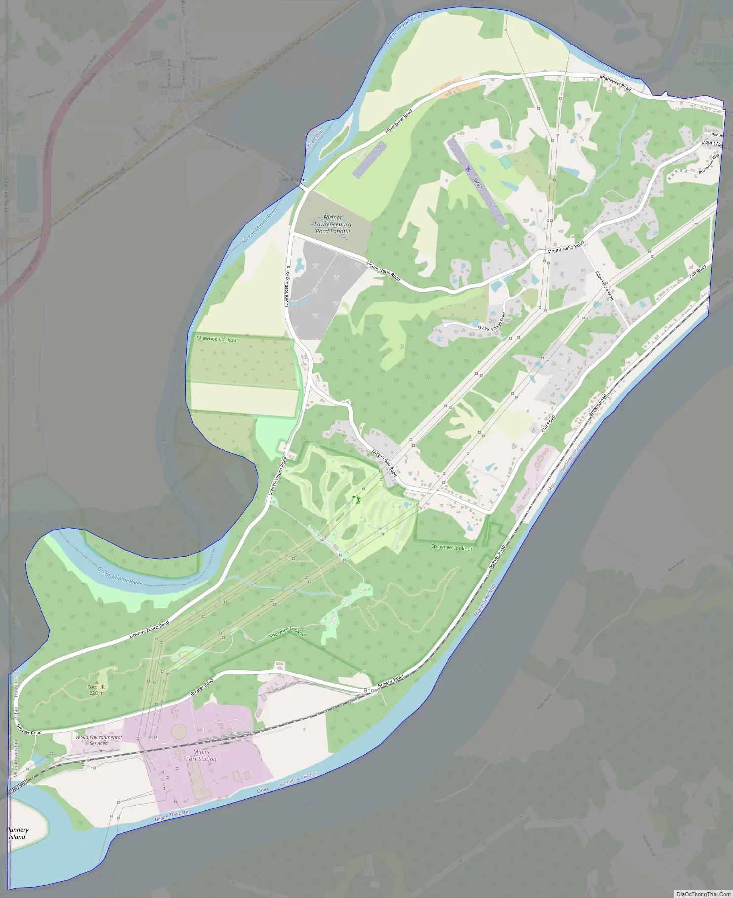
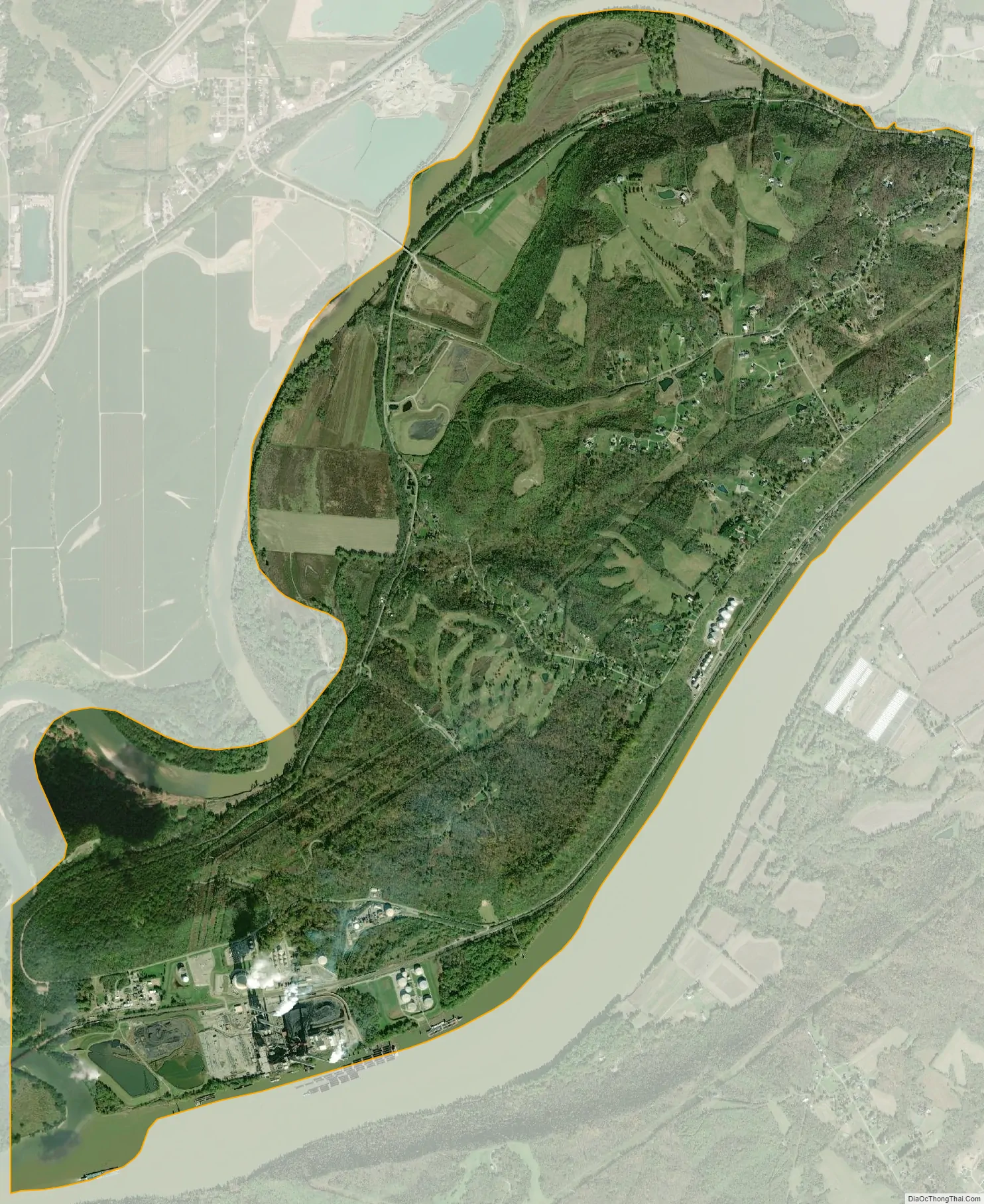
Shawnee city Satellite Map
Geography
Shawnee is located in the southwest corner of the state of Ohio, occupying the land between the Ohio and Great Miami rivers. To the south is Boone County, Kentucky, and to the west is Dearborn County, Indiana. To the north, across the Great Miami River, is Whitewater Township, and to the east are the villages of Cleves and North Bend. Much of the central heights of the CDP are taken up by Shawnee Lookout County Park. The area is also home to the Shawnee Lookout Archeological District.
Shawnee is located at 39°7′29″N 84°47′25″W / 39.12472°N 84.79028°W / 39.12472; -84.79028. According to the United States Census Bureau, the CDP has a total area of 6.9 square miles (18.0 km), of which 6.4 square miles (16.6 km) is land and 0.54 square miles (1.4 km), or 7.63%, is water, consisting mainly of the Ohio and Great Miami rivers.
See also
Map of Ohio State and its subdivision:- Adams
- Allen
- Ashland
- Ashtabula
- Athens
- Auglaize
- Belmont
- Brown
- Butler
- Carroll
- Champaign
- Clark
- Clermont
- Clinton
- Columbiana
- Coshocton
- Crawford
- Cuyahoga
- Darke
- Defiance
- Delaware
- Erie
- Fairfield
- Fayette
- Franklin
- Fulton
- Gallia
- Geauga
- Greene
- Guernsey
- Hamilton
- Hancock
- Hardin
- Harrison
- Henry
- Highland
- Hocking
- Holmes
- Huron
- Jackson
- Jefferson
- Knox
- Lake
- Lake Erie
- Lawrence
- Licking
- Logan
- Lorain
- Lucas
- Madison
- Mahoning
- Marion
- Medina
- Meigs
- Mercer
- Miami
- Monroe
- Montgomery
- Morgan
- Morrow
- Muskingum
- Noble
- Ottawa
- Paulding
- Perry
- Pickaway
- Pike
- Portage
- Preble
- Putnam
- Richland
- Ross
- Sandusky
- Scioto
- Seneca
- Shelby
- Stark
- Summit
- Trumbull
- Tuscarawas
- Union
- Van Wert
- Vinton
- Warren
- Washington
- Wayne
- Williams
- Wood
- Wyandot
- Alabama
- Alaska
- Arizona
- Arkansas
- California
- Colorado
- Connecticut
- Delaware
- District of Columbia
- Florida
- Georgia
- Hawaii
- Idaho
- Illinois
- Indiana
- Iowa
- Kansas
- Kentucky
- Louisiana
- Maine
- Maryland
- Massachusetts
- Michigan
- Minnesota
- Mississippi
- Missouri
- Montana
- Nebraska
- Nevada
- New Hampshire
- New Jersey
- New Mexico
- New York
- North Carolina
- North Dakota
- Ohio
- Oklahoma
- Oregon
- Pennsylvania
- Rhode Island
- South Carolina
- South Dakota
- Tennessee
- Texas
- Utah
- Vermont
- Virginia
- Washington
- West Virginia
- Wisconsin
- Wyoming


