Sinking Spring is a village in Highland County, Ohio, United States. The population was 133 at the 2010 census.
| Name: | Sinking Spring village |
|---|---|
| LSAD Code: | 47 |
| LSAD Description: | village (suffix) |
| State: | Ohio |
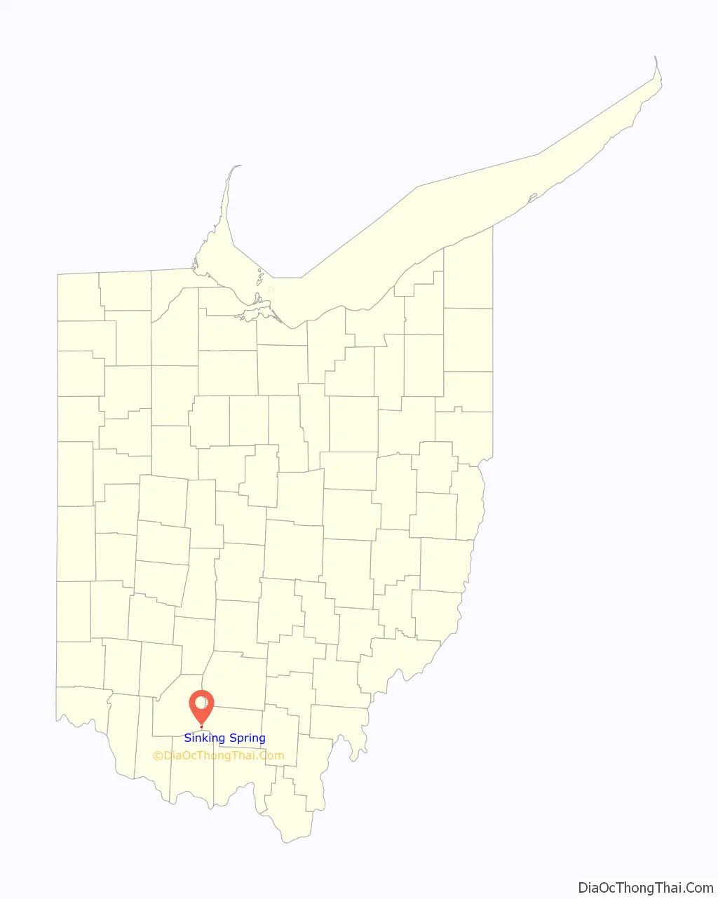
| County: | Highland County |
| Elevation: | 866 ft (264 m) |
| Total Area: | 0.47 sq mi (1.21 km²) |
| Land Area: | 0.47 sq mi (1.21 km²) |
| Water Area: | 0.00 sq mi (0.00 km²) |
| Total Population: | 118 |
| Population Density: | 252.68/sq mi (97.55/km²) |
| ZIP code: | 45172 |
| Area code: | 937, 326 |
| FIPS code: | 3972578 |
| GNISfeature ID: | 1065330 |
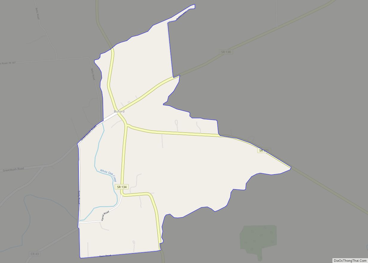
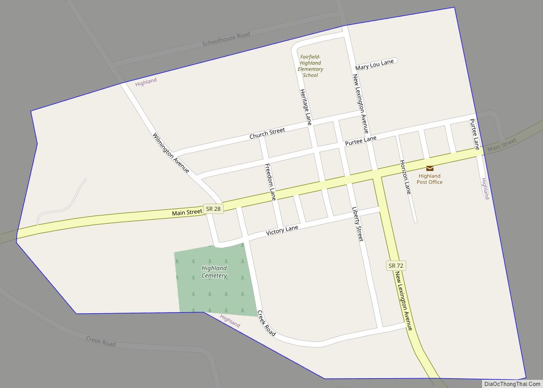
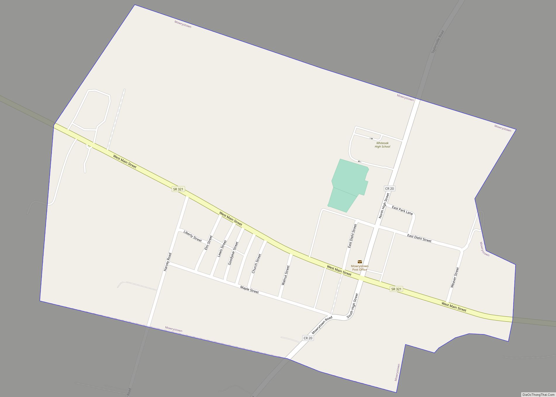
Online Interactive Map
Click on ![]() to view map in "full screen" mode.
to view map in "full screen" mode.
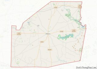
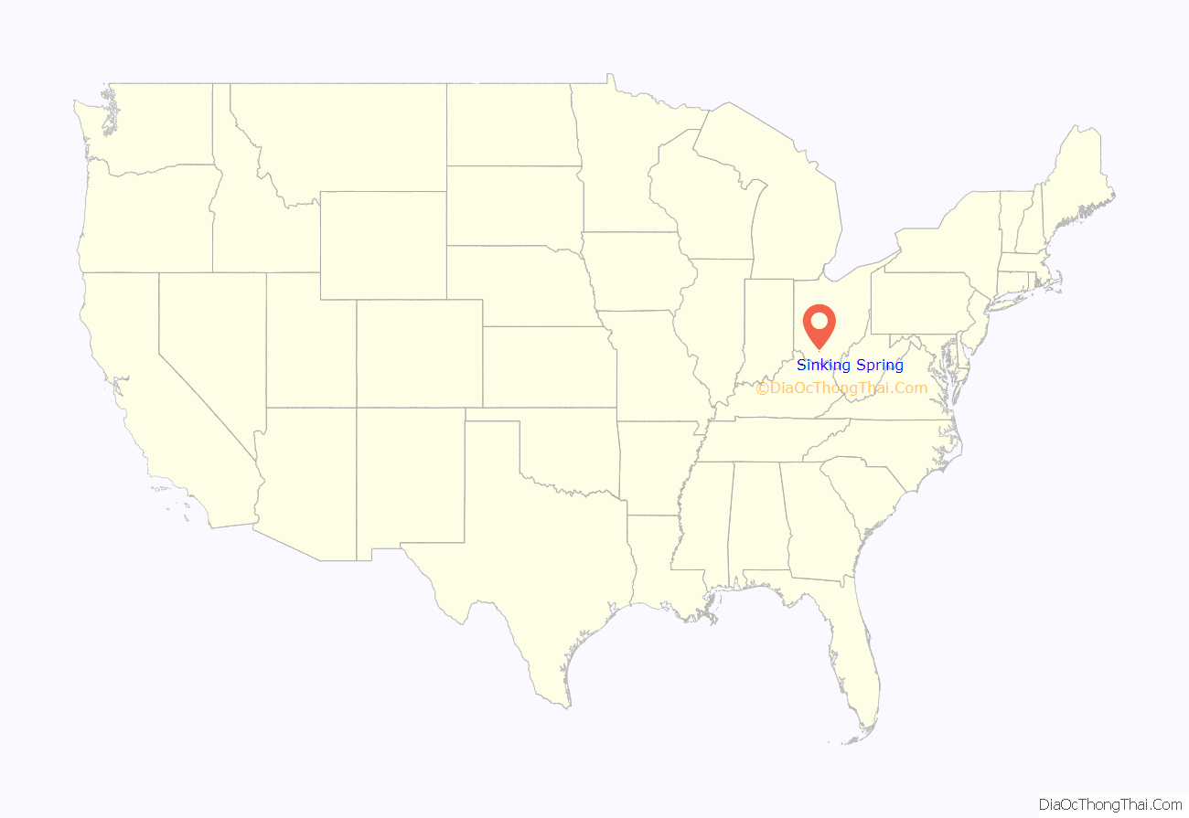
Sinking Spring location map. Where is Sinking Spring village?
History
A post office called Sinking Spring has been in operation since 1817. The village was named for a losing stream near the original town site. This city was noted in the 1980s Sesame Street movie Follow That Bird.
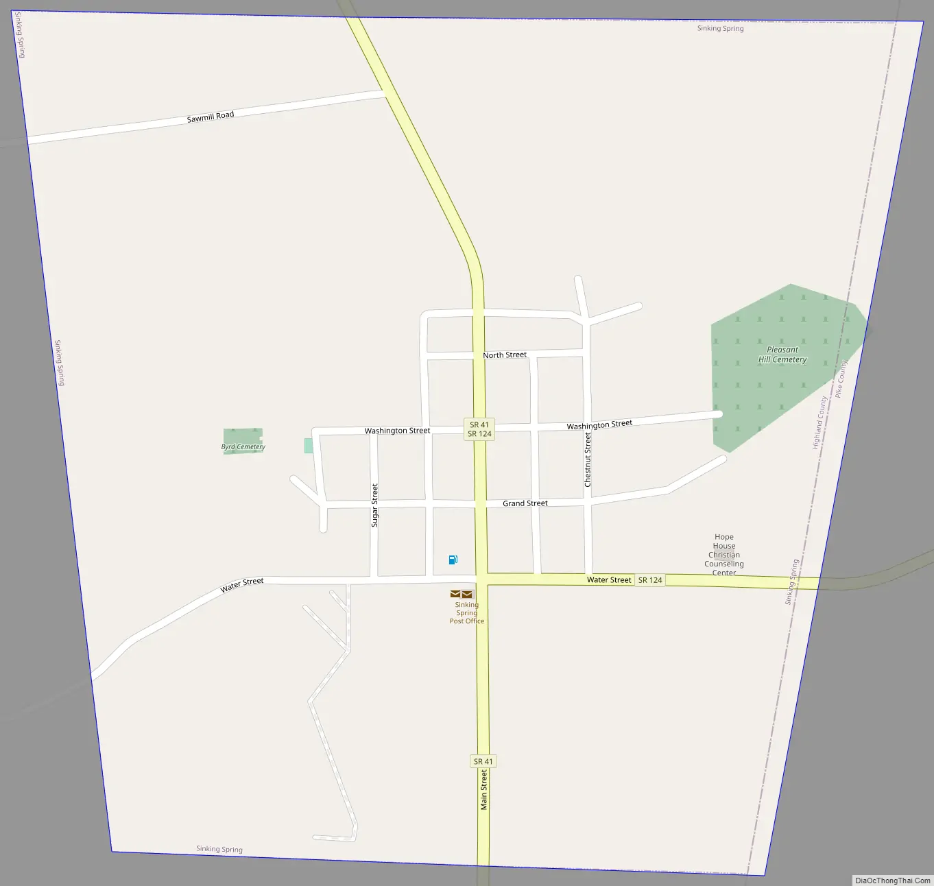
Sinking Spring Road Map
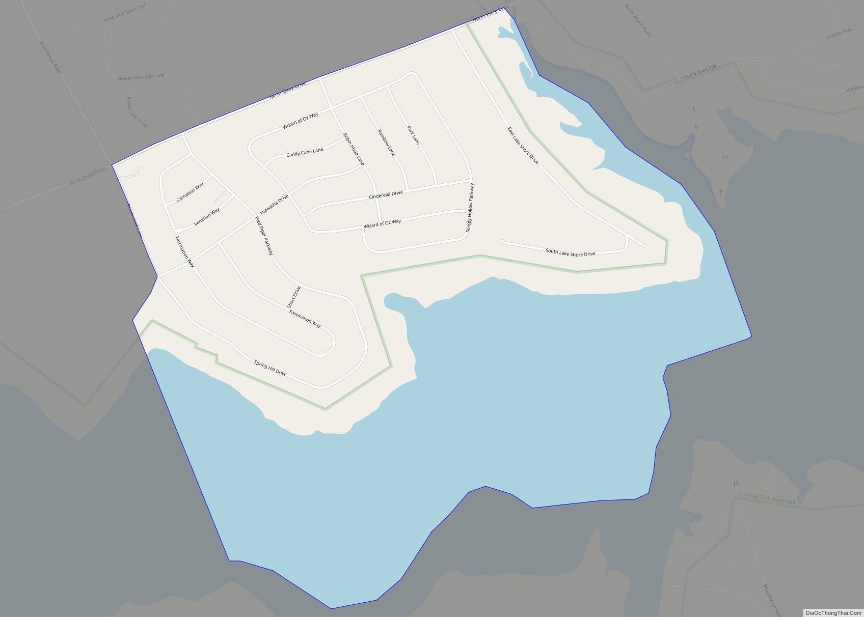
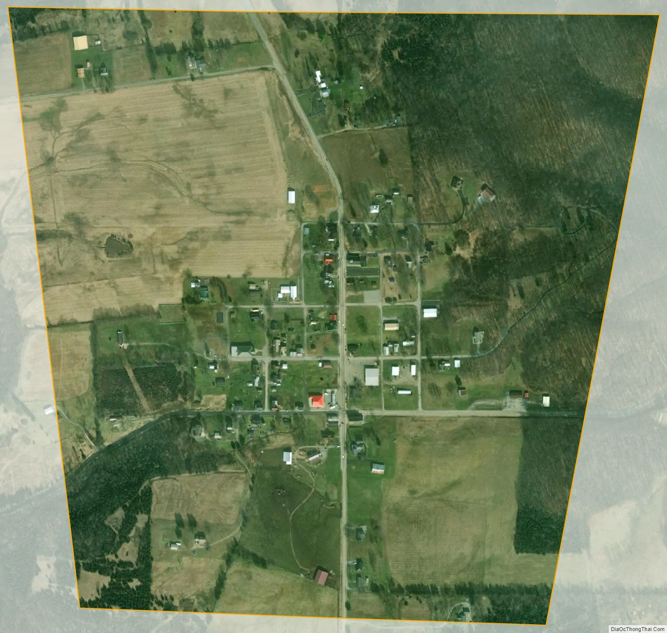
Sinking Spring city Satellite Map
Geography
Sinking Spring is located at 39°4′27″N 83°23′14″W / 39.07417°N 83.38722°W / 39.07417; -83.38722 (39.074266, -83.387139).
According to the United States Census Bureau, the village has a total area of 0.47 square miles (1.22 km), all land.
See also
Map of Ohio State and its subdivision:- Adams
- Allen
- Ashland
- Ashtabula
- Athens
- Auglaize
- Belmont
- Brown
- Butler
- Carroll
- Champaign
- Clark
- Clermont
- Clinton
- Columbiana
- Coshocton
- Crawford
- Cuyahoga
- Darke
- Defiance
- Delaware
- Erie
- Fairfield
- Fayette
- Franklin
- Fulton
- Gallia
- Geauga
- Greene
- Guernsey
- Hamilton
- Hancock
- Hardin
- Harrison
- Henry
- Highland
- Hocking
- Holmes
- Huron
- Jackson
- Jefferson
- Knox
- Lake
- Lake Erie
- Lawrence
- Licking
- Logan
- Lorain
- Lucas
- Madison
- Mahoning
- Marion
- Medina
- Meigs
- Mercer
- Miami
- Monroe
- Montgomery
- Morgan
- Morrow
- Muskingum
- Noble
- Ottawa
- Paulding
- Perry
- Pickaway
- Pike
- Portage
- Preble
- Putnam
- Richland
- Ross
- Sandusky
- Scioto
- Seneca
- Shelby
- Stark
- Summit
- Trumbull
- Tuscarawas
- Union
- Van Wert
- Vinton
- Warren
- Washington
- Wayne
- Williams
- Wood
- Wyandot
- Alabama
- Alaska
- Arizona
- Arkansas
- California
- Colorado
- Connecticut
- Delaware
- District of Columbia
- Florida
- Georgia
- Hawaii
- Idaho
- Illinois
- Indiana
- Iowa
- Kansas
- Kentucky
- Louisiana
- Maine
- Maryland
- Massachusetts
- Michigan
- Minnesota
- Mississippi
- Missouri
- Montana
- Nebraska
- Nevada
- New Hampshire
- New Jersey
- New Mexico
- New York
- North Carolina
- North Dakota
- Ohio
- Oklahoma
- Oregon
- Pennsylvania
- Rhode Island
- South Carolina
- South Dakota
- Tennessee
- Texas
- Utah
- Vermont
- Virginia
- Washington
- West Virginia
- Wisconsin
- Wyoming