South Euclid is a city in Cuyahoga County, Ohio, United States. It is an inner-ring suburb of Cleveland located on the city’s east side. As of the 2010 census the population was 22,295.
| Name: | South Euclid city |
|---|---|
| LSAD Code: | 25 |
| LSAD Description: | city (suffix) |
| State: | Ohio |
| County: | Cuyahoga County |
| Elevation: | 958 ft (292 m) |
| Total Area: | 4.66 sq mi (12.07 km²) |
| Land Area: | 4.66 sq mi (12.07 km²) |
| Water Area: | 0.00 sq mi (0.00 km²) |
| Total Population: | 21,883 |
| Population Density: | 4,696.93/sq mi (1,813.48/km²) |
| Area code: | 216 |
| FIPS code: | 3973264 |
| GNISfeature ID: | 1049189 |
| Website: | https://www.cityofsoutheuclid.com/ |
Online Interactive Map
Click on ![]() to view map in "full screen" mode.
to view map in "full screen" mode.
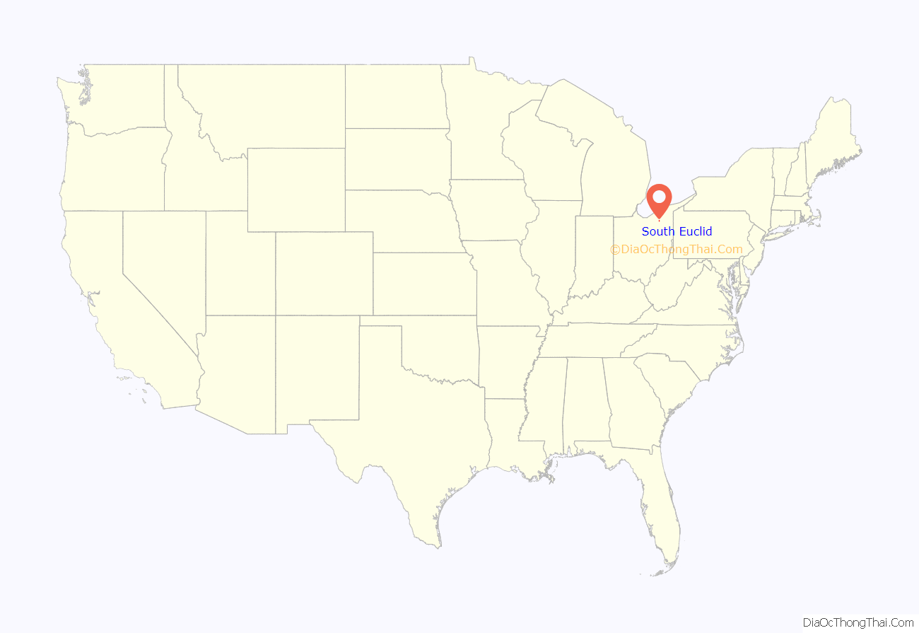
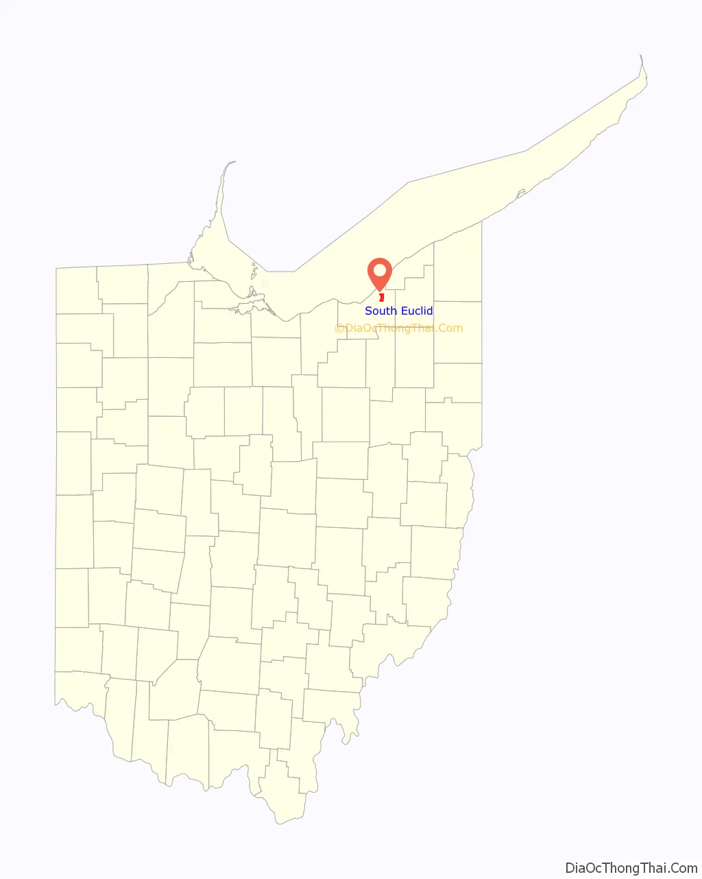
South Euclid location map. Where is South Euclid city?
History
The land currently comprising South Euclid was part of the Western Reserve, obtained via treaty with the Iroquois confederation in 1796 by the Connecticut Land Company. In 1797, Moses Cleaveland named the area east of the Cuyahoga River Euclid, after the Greek mathematician and “patron saint” of surveyors. Euclid Township was officially formed in 1809. In 1828, Euclid Township was divided into nine districts, with South Euclid becoming district two.
The earliest industry was farming. But, by the 1860s, quarrying of the area’s rich Bluestone deposits replaced agriculture as the town’s economic mainstay. Two separate locations – one along Nine Mile Creek near present-day Quarry Park at South Belvoir and Monticello Boulevards, and the other along what is today part of the Euclid Creek reservation – were consolidated by Forest City Stone Company in the 1870s, creating one of the region’s largest producers of the stone. By the end of the 19th century, the northern section of the town had become known as Bluestone village.
Residents of South Euclid eventually wanted autonomy from the larger Euclid Township, and voted on October 13, 1917, to be incorporated as a village, with Edward C. Foote being elected the first mayor a few weeks on November 6. At the same time, with the decline of the Bluestone industry brought on by improvements to poured concrete, Bluestone village was absorbed into South Euclid.
South Euclid’s rapid economic and population growth continued in the early decades of the 20th century, partly driven by industry in nearby Cleveland. Due in part to funding by the WPA, which helped keep people employed through the Great Depression, the village continued to grow and was officially incorporated as a city in 1941.
Population growth, which tapered during the Depression era, skyrocketed during the postwar period, driven by both the baby boom and white flight from the urban center of Cleveland. South Euclid’s population peaked in the early 1970s. By 1980, lacking large tracts of available land for development, and with a population shift to exurban communities, the population of South Euclid began to shrink.
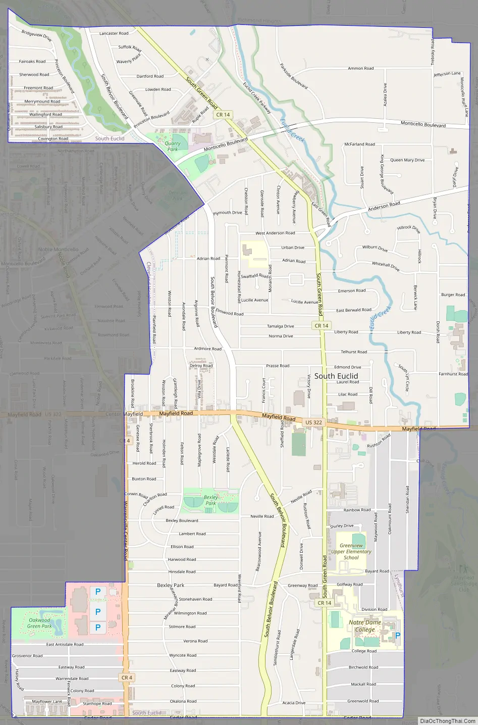
South Euclid Road Map
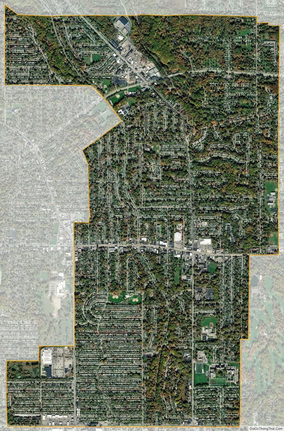
South Euclid city Satellite Map
Geography
Acting approximately as a central point for the east side of the Greater Cleveland area, South Euclid is bordered by Cleveland, Cleveland Heights, University Heights, Beachwood, Lyndhurst, Richmond Heights, and Euclid.
According to the United States Census Bureau, the city has a total area of 4.65 square miles (12.04 km), all of it land.
See also
Map of Ohio State and its subdivision:- Adams
- Allen
- Ashland
- Ashtabula
- Athens
- Auglaize
- Belmont
- Brown
- Butler
- Carroll
- Champaign
- Clark
- Clermont
- Clinton
- Columbiana
- Coshocton
- Crawford
- Cuyahoga
- Darke
- Defiance
- Delaware
- Erie
- Fairfield
- Fayette
- Franklin
- Fulton
- Gallia
- Geauga
- Greene
- Guernsey
- Hamilton
- Hancock
- Hardin
- Harrison
- Henry
- Highland
- Hocking
- Holmes
- Huron
- Jackson
- Jefferson
- Knox
- Lake
- Lake Erie
- Lawrence
- Licking
- Logan
- Lorain
- Lucas
- Madison
- Mahoning
- Marion
- Medina
- Meigs
- Mercer
- Miami
- Monroe
- Montgomery
- Morgan
- Morrow
- Muskingum
- Noble
- Ottawa
- Paulding
- Perry
- Pickaway
- Pike
- Portage
- Preble
- Putnam
- Richland
- Ross
- Sandusky
- Scioto
- Seneca
- Shelby
- Stark
- Summit
- Trumbull
- Tuscarawas
- Union
- Van Wert
- Vinton
- Warren
- Washington
- Wayne
- Williams
- Wood
- Wyandot
- Alabama
- Alaska
- Arizona
- Arkansas
- California
- Colorado
- Connecticut
- Delaware
- District of Columbia
- Florida
- Georgia
- Hawaii
- Idaho
- Illinois
- Indiana
- Iowa
- Kansas
- Kentucky
- Louisiana
- Maine
- Maryland
- Massachusetts
- Michigan
- Minnesota
- Mississippi
- Missouri
- Montana
- Nebraska
- Nevada
- New Hampshire
- New Jersey
- New Mexico
- New York
- North Carolina
- North Dakota
- Ohio
- Oklahoma
- Oregon
- Pennsylvania
- Rhode Island
- South Carolina
- South Dakota
- Tennessee
- Texas
- Utah
- Vermont
- Virginia
- Washington
- West Virginia
- Wisconsin
- Wyoming


