Stafford is a village in Monroe County, Ohio, United States. The population was 71 at the 2020 census.
| Name: | Stafford village |
|---|---|
| LSAD Code: | 47 |
| LSAD Description: | village (suffix) |
| State: | Ohio |
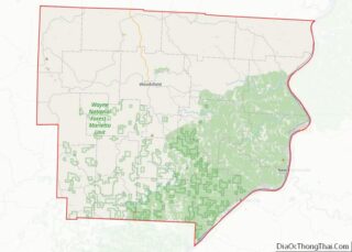
| County: | Monroe County |
| Elevation: | 1,079 ft (329 m) |
| Total Area: | 0.34 sq mi (0.88 km²) |
| Land Area: | 0.34 sq mi (0.88 km²) |
| Water Area: | 0.00 sq mi (0.00 km²) |
| Total Population: | 71 |
| Population Density: | 208.82/sq mi (80.67/km²) |
| ZIP code: | 43786 |
| Area code: | 740 |
| FIPS code: | 3974300 |
| GNISfeature ID: | 1076954 |
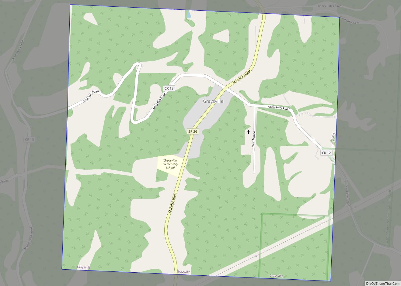
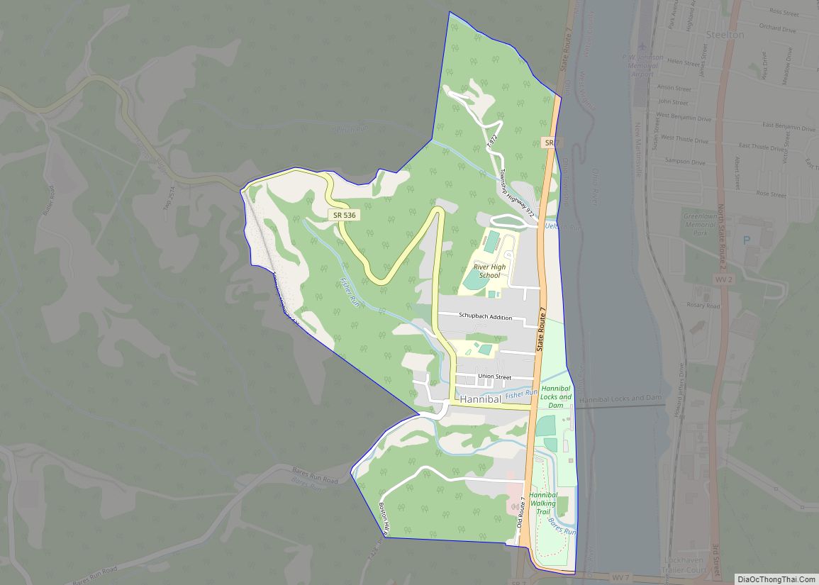
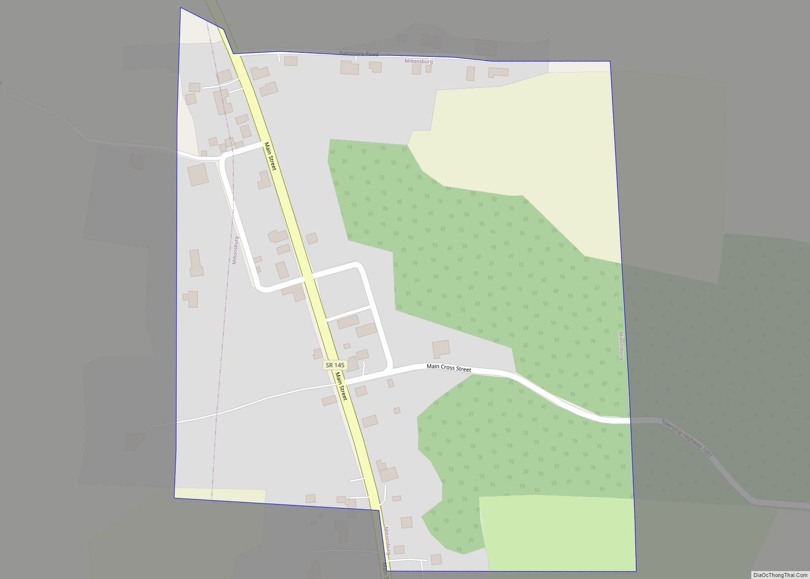
Online Interactive Map
Click on ![]() to view map in "full screen" mode.
to view map in "full screen" mode.
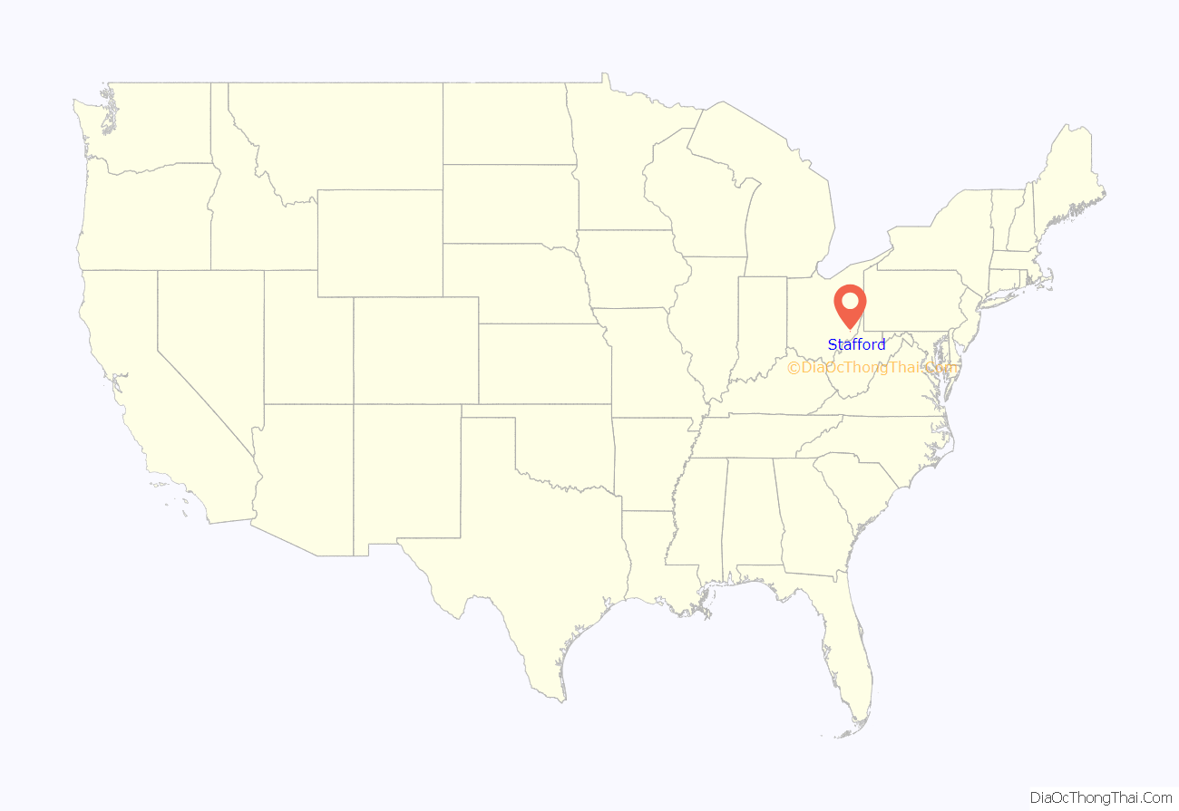
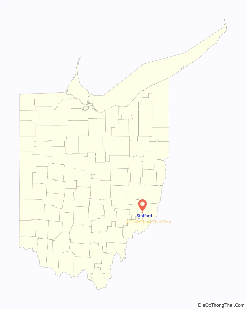
Stafford location map. Where is Stafford village?
History
Originally named Bethel, the town was laid out by John Jones in 1838. William Steel, a Scottish-born abolitionist, is credited with changing the name of the village from Bethel to Stafford. He was the father of William Gladstone Steel. He is credited with establishing a good educational system that was also integrated.
Stafford has a rich history as a station on the Underground Railroad. It was known as a “free black” settlement because of the number of African Americans living there, but its population included both black and white ardent abolitionists. It is said that almost everyone in the village was involved in the protection of slaves fleeing to freedom. The most frequented route ran from Marietta in Washington County, Ohio, through Stafford and on to Summerfield, Ohio. These lines continued into Ontario, Canada.
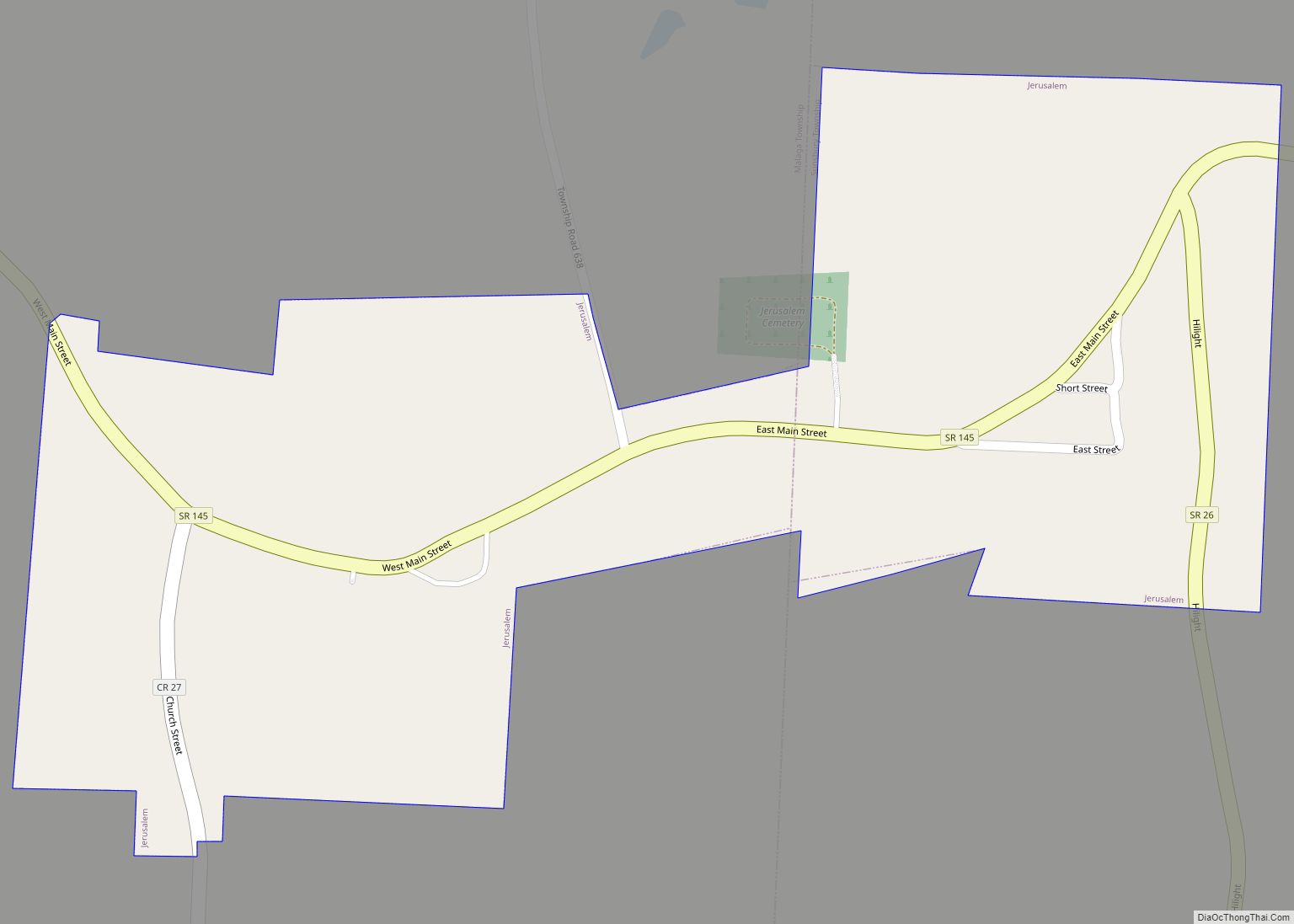
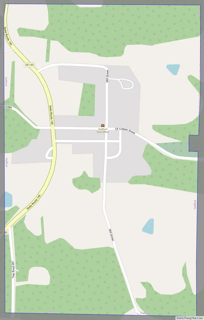
Stafford Road Map
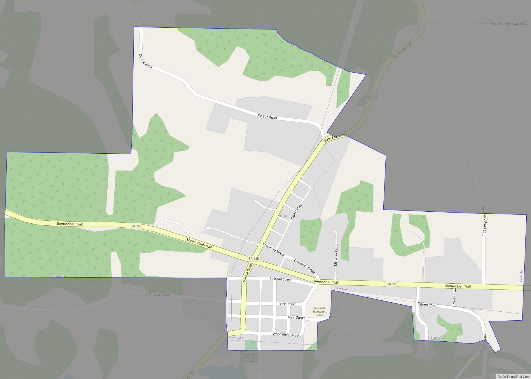
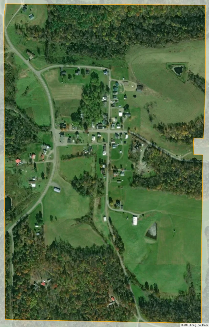
Stafford city Satellite Map
Geography
Stafford is located at 39°42′48″N 81°16′39″W / 39.71333°N 81.27750°W / 39.71333; -81.27750 (39.713226, -81.277435).
According to the United States Census Bureau, the village has a total area of 0.34 square miles (0.88 km), all of it land.
See also
Map of Ohio State and its subdivision:- Adams
- Allen
- Ashland
- Ashtabula
- Athens
- Auglaize
- Belmont
- Brown
- Butler
- Carroll
- Champaign
- Clark
- Clermont
- Clinton
- Columbiana
- Coshocton
- Crawford
- Cuyahoga
- Darke
- Defiance
- Delaware
- Erie
- Fairfield
- Fayette
- Franklin
- Fulton
- Gallia
- Geauga
- Greene
- Guernsey
- Hamilton
- Hancock
- Hardin
- Harrison
- Henry
- Highland
- Hocking
- Holmes
- Huron
- Jackson
- Jefferson
- Knox
- Lake
- Lake Erie
- Lawrence
- Licking
- Logan
- Lorain
- Lucas
- Madison
- Mahoning
- Marion
- Medina
- Meigs
- Mercer
- Miami
- Monroe
- Montgomery
- Morgan
- Morrow
- Muskingum
- Noble
- Ottawa
- Paulding
- Perry
- Pickaway
- Pike
- Portage
- Preble
- Putnam
- Richland
- Ross
- Sandusky
- Scioto
- Seneca
- Shelby
- Stark
- Summit
- Trumbull
- Tuscarawas
- Union
- Van Wert
- Vinton
- Warren
- Washington
- Wayne
- Williams
- Wood
- Wyandot
- Alabama
- Alaska
- Arizona
- Arkansas
- California
- Colorado
- Connecticut
- Delaware
- District of Columbia
- Florida
- Georgia
- Hawaii
- Idaho
- Illinois
- Indiana
- Iowa
- Kansas
- Kentucky
- Louisiana
- Maine
- Maryland
- Massachusetts
- Michigan
- Minnesota
- Mississippi
- Missouri
- Montana
- Nebraska
- Nevada
- New Hampshire
- New Jersey
- New Mexico
- New York
- North Carolina
- North Dakota
- Ohio
- Oklahoma
- Oregon
- Pennsylvania
- Rhode Island
- South Carolina
- South Dakota
- Tennessee
- Texas
- Utah
- Vermont
- Virginia
- Washington
- West Virginia
- Wisconsin
- Wyoming