Stockport is a village in Morgan County, Ohio, United States, along the Muskingum River. The population was 483 at the 2020 census.
| Name: | Stockport village |
|---|---|
| LSAD Code: | 47 |
| LSAD Description: | village (suffix) |
| State: | Ohio |
| County: | Morgan County |
| Elevation: | 692 ft (211 m) |
| Total Area: | 0.33 sq mi (0.85 km²) |
| Land Area: | 0.33 sq mi (0.85 km²) |
| Water Area: | 0.00 sq mi (0.00 km²) |
| Total Population: | 483 |
| Population Density: | 1,468.09/sq mi (567.53/km²) |
| ZIP code: | 43787 |
| Area code: | 740 |
| FIPS code: | 3974748 |
| GNISfeature ID: | 1070952 |
| Website: | http://stockportohio.weebly.com/ |
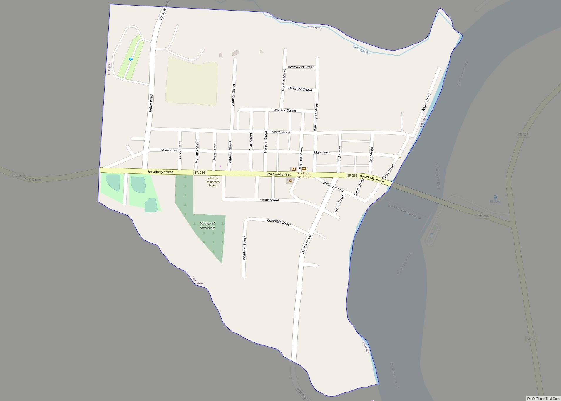
Online Interactive Map
Click on ![]() to view map in "full screen" mode.
to view map in "full screen" mode.
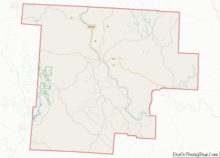
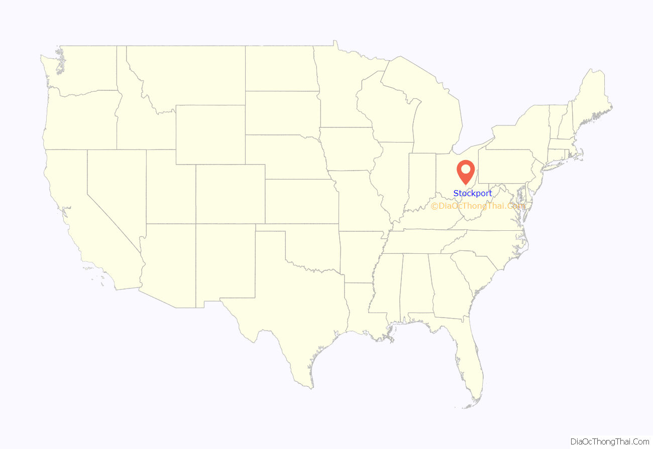
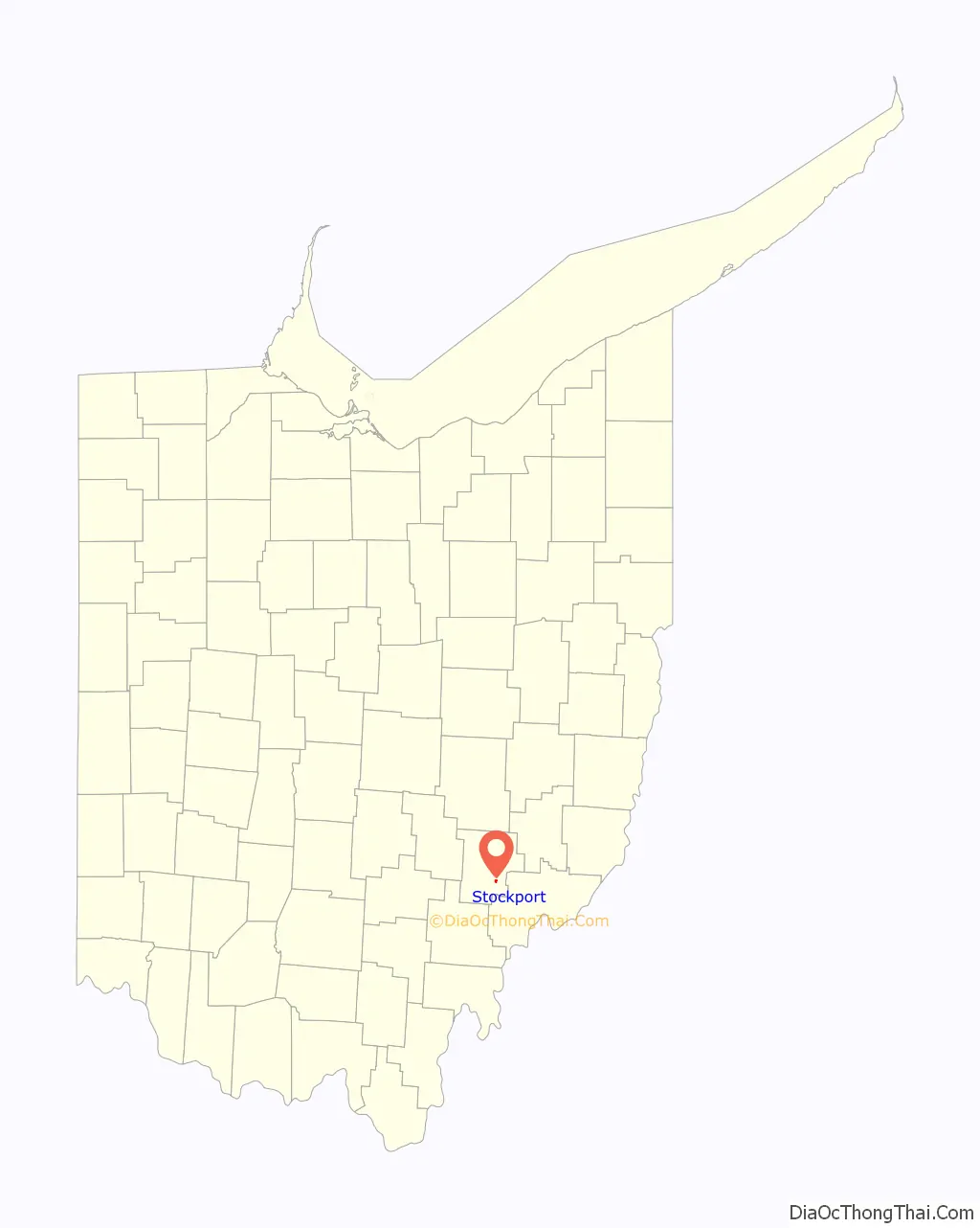
Stockport location map. Where is Stockport village?
History
The town is named after the town in England of the same name. The area was part of what was called the Donation Tract in the Northwest Territory, a portion of 100,000 acres for which Congress authorized grants of 100 acres in 1792 to any male 18 years of older who would settle the land at the time of deed. Congress was seeking to support the development and settlement of adjacent lands owned by the Ohio Company of Associates. The Donation Tract was designed for quick settlement and to serve as a buffer for the Company lands from Native American raids. Several tribes had allied in the Northwest Territory in an effort to expel European-American settlers, and armed conflicts had been underway since 1785.
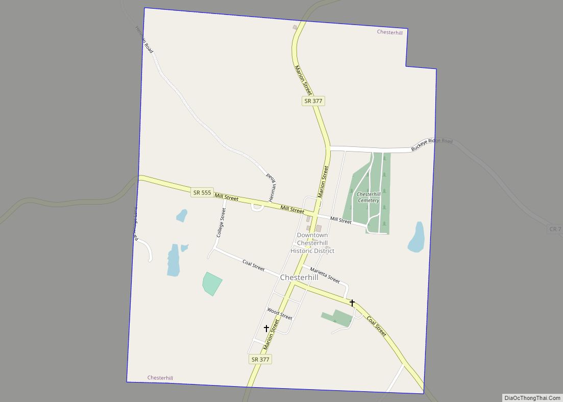
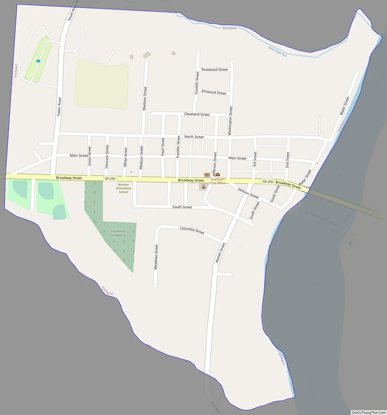
Stockport Road Map
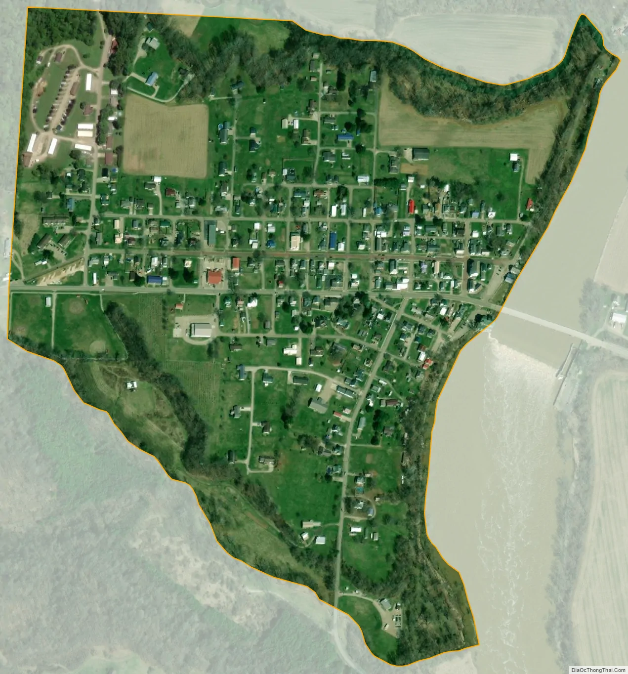
Stockport city Satellite Map
Geography
Stockport is located at 39°32′58″N 81°47′39″W / 39.549361°N 81.794250°W / 39.549361; -81.794250.
According to the United States Census Bureau, the village has a total area of 0.33 square miles (0.85 km), all land.
Stockport is located at the junctions of State Routes 266 and 376.
See also
Map of Ohio State and its subdivision:- Adams
- Allen
- Ashland
- Ashtabula
- Athens
- Auglaize
- Belmont
- Brown
- Butler
- Carroll
- Champaign
- Clark
- Clermont
- Clinton
- Columbiana
- Coshocton
- Crawford
- Cuyahoga
- Darke
- Defiance
- Delaware
- Erie
- Fairfield
- Fayette
- Franklin
- Fulton
- Gallia
- Geauga
- Greene
- Guernsey
- Hamilton
- Hancock
- Hardin
- Harrison
- Henry
- Highland
- Hocking
- Holmes
- Huron
- Jackson
- Jefferson
- Knox
- Lake
- Lake Erie
- Lawrence
- Licking
- Logan
- Lorain
- Lucas
- Madison
- Mahoning
- Marion
- Medina
- Meigs
- Mercer
- Miami
- Monroe
- Montgomery
- Morgan
- Morrow
- Muskingum
- Noble
- Ottawa
- Paulding
- Perry
- Pickaway
- Pike
- Portage
- Preble
- Putnam
- Richland
- Ross
- Sandusky
- Scioto
- Seneca
- Shelby
- Stark
- Summit
- Trumbull
- Tuscarawas
- Union
- Van Wert
- Vinton
- Warren
- Washington
- Wayne
- Williams
- Wood
- Wyandot
- Alabama
- Alaska
- Arizona
- Arkansas
- California
- Colorado
- Connecticut
- Delaware
- District of Columbia
- Florida
- Georgia
- Hawaii
- Idaho
- Illinois
- Indiana
- Iowa
- Kansas
- Kentucky
- Louisiana
- Maine
- Maryland
- Massachusetts
- Michigan
- Minnesota
- Mississippi
- Missouri
- Montana
- Nebraska
- Nevada
- New Hampshire
- New Jersey
- New Mexico
- New York
- North Carolina
- North Dakota
- Ohio
- Oklahoma
- Oregon
- Pennsylvania
- Rhode Island
- South Carolina
- South Dakota
- Tennessee
- Texas
- Utah
- Vermont
- Virginia
- Washington
- West Virginia
- Wisconsin
- Wyoming