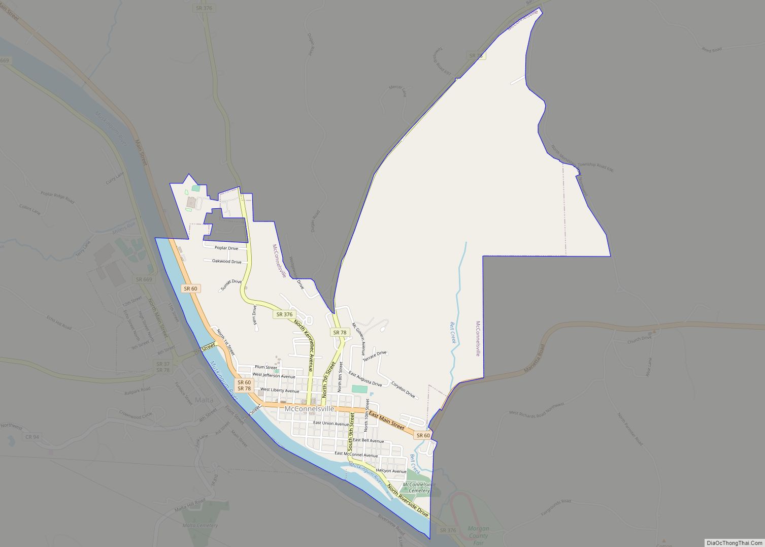
McConnelsville is a village in and the county seat of Morgan County, Ohio, United States, on the east bank of the Muskingum River. Located 21 miles (34 km) southeast of Zanesville and 26 miles (42 km) northwest of Marietta, the population was 1,667 at the 2020 census.
| Name: | McConnelsville village |
|---|---|
| LSAD Code: | 47 |
| LSAD Description: | village (suffix) |
| State: | Ohio |
| County: | Morgan County |
| Elevation: | 692 ft (211 m) |
| Total Area: | 1.90 sq mi (4.92 km²) |
| Land Area: | 1.79 sq mi (4.64 km²) |
| Water Area: | 0.11 sq mi (0.28 km²) |
| Total Population: | 1,667 |
| Population Density: | 929.73/sq mi (359.05/km²) |
| ZIP code: | 43756 |
| Area code: | 740 |
| FIPS code: | 3945822 |
| GNISfeature ID: | 1061495 |
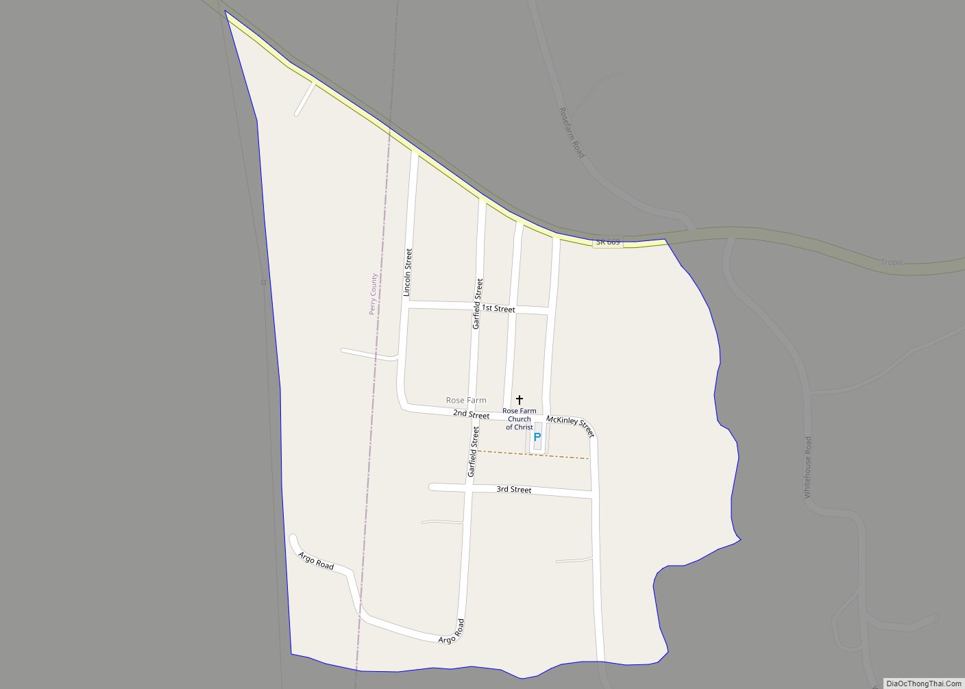
Online Interactive Map
Click on ![]() to view map in "full screen" mode.
to view map in "full screen" mode.
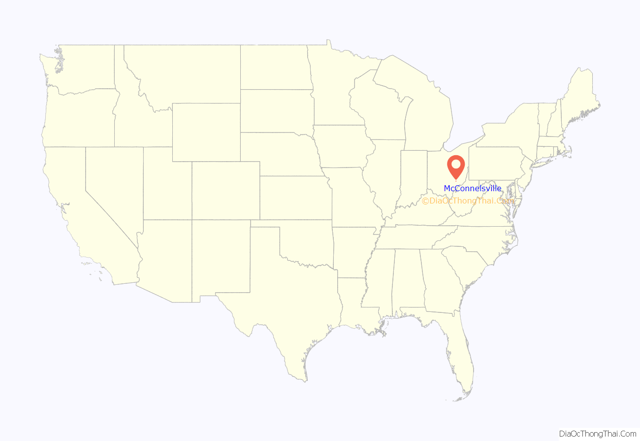
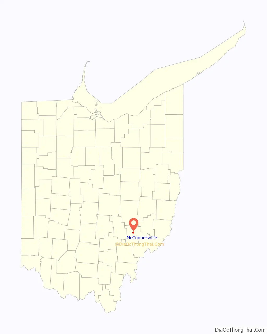
McConnelsville location map. Where is McConnelsville village?
History
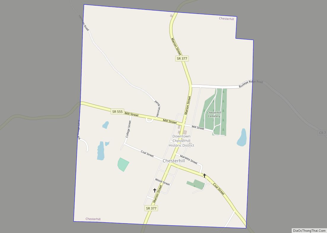
McConnelsville was laid out in 1817 in Morgan Township, and named after Robert McConnell, the original owner of the town site.
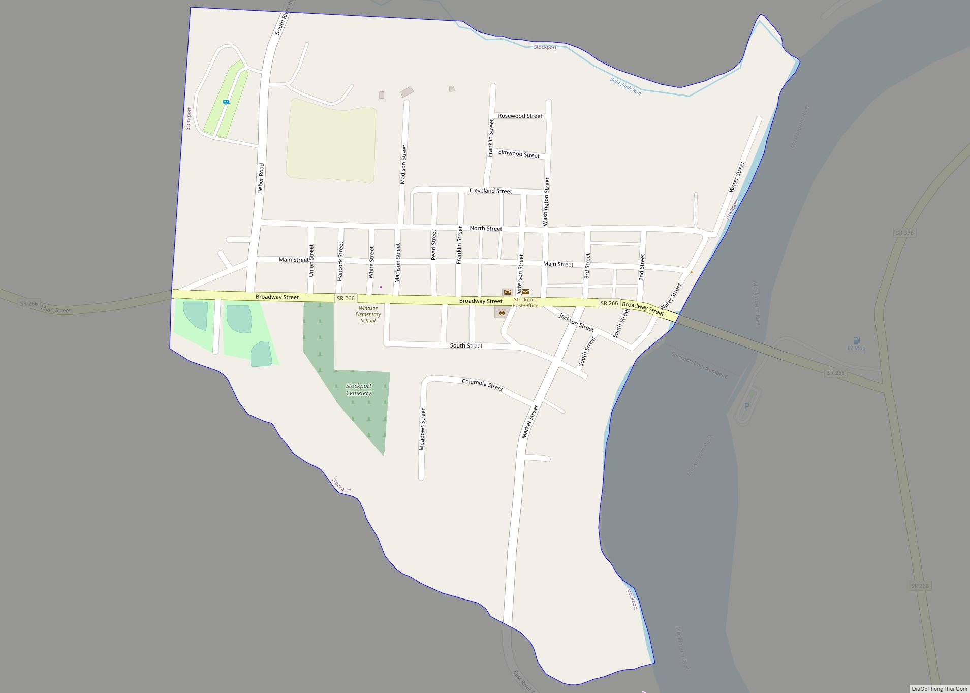
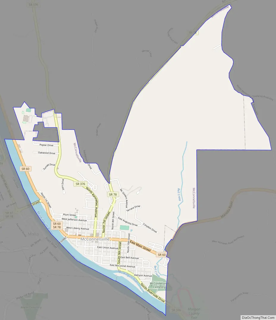
McConnelsville Road Map
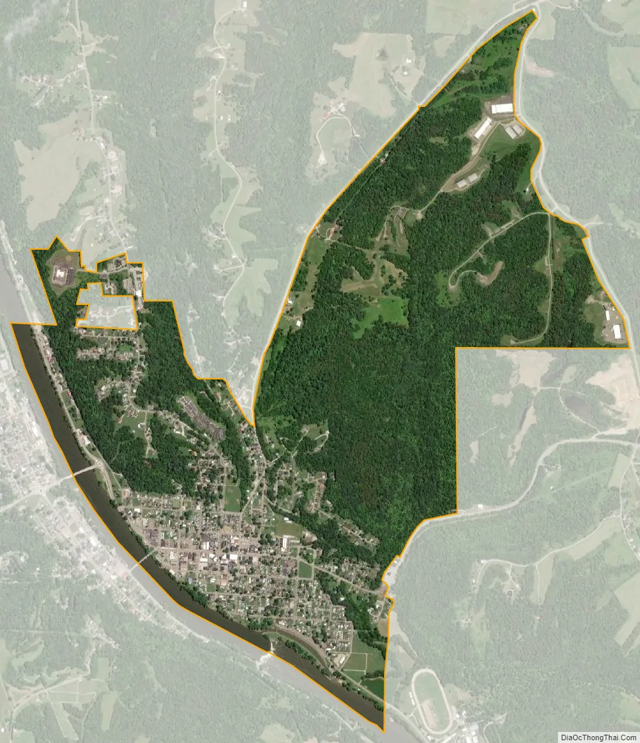
McConnelsville city Satellite Map
Geography
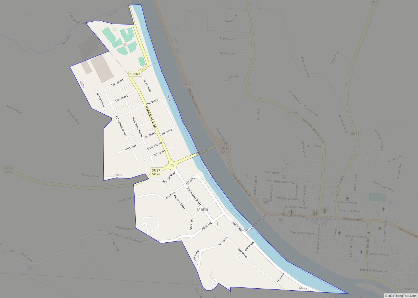
McConnelsville is located at 39°38′56″N 81°51′7″W / 39.64889°N 81.85194°W / 39.64889; -81.85194 (39.648915, −81.851954). It is on the east bank of the Muskingum River, opposite Malta. There are two bridges across the river, on 3rd and 7th streets, the latter forming part of State Route 78.
According to the United States Census Bureau, the village has a total area of 1.90 square miles (4.92 km), of which 1.79 square miles (4.64 km) is land and 0.11 square miles (0.28 km) is water.
Climate
See also
Map of Ohio State and its subdivision:- Adams
- Allen
- Ashland
- Ashtabula
- Athens
- Auglaize
- Belmont
- Brown
- Butler
- Carroll
- Champaign
- Clark
- Clermont
- Clinton
- Columbiana
- Coshocton
- Crawford
- Cuyahoga
- Darke
- Defiance
- Delaware
- Erie
- Fairfield
- Fayette
- Franklin
- Fulton
- Gallia
- Geauga
- Greene
- Guernsey
- Hamilton
- Hancock
- Hardin
- Harrison
- Henry
- Highland
- Hocking
- Holmes
- Huron
- Jackson
- Jefferson
- Knox
- Lake
- Lake Erie
- Lawrence
- Licking
- Logan
- Lorain
- Lucas
- Madison
- Mahoning
- Marion
- Medina
- Meigs
- Mercer
- Miami
- Monroe
- Montgomery
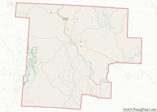
- Morgan
- Morrow
- Muskingum
- Noble
- Ottawa
- Paulding
- Perry
- Pickaway
- Pike
- Portage
- Preble
- Putnam
- Richland
- Ross
- Sandusky
- Scioto
- Seneca
- Shelby
- Stark
- Summit
- Trumbull
- Tuscarawas
- Union
- Van Wert
- Vinton
- Warren
- Washington
- Wayne
- Williams
- Wood
- Wyandot
- Alabama
- Alaska
- Arizona
- Arkansas
- California
- Colorado
- Connecticut
- Delaware
- District of Columbia
- Florida
- Georgia
- Hawaii
- Idaho
- Illinois
- Indiana
- Iowa
- Kansas
- Kentucky
- Louisiana
- Maine
- Maryland
- Massachusetts
- Michigan
- Minnesota
- Mississippi
- Missouri
- Montana
- Nebraska
- Nevada
- New Hampshire
- New Jersey
- New Mexico
- New York
- North Carolina
- North Dakota
- Ohio
- Oklahoma
- Oregon
- Pennsylvania
- Rhode Island
- South Carolina
- South Dakota
- Tennessee
- Texas
- Utah
- Vermont
- Virginia
- Washington
- West Virginia
- Wisconsin
- Wyoming