Stony Ridge is a census-designated place (CDP) in northwestern Troy Township, Wood County, Ohio, United States. As of the 2010 census, it had a population of 411. It has a post office with the ZIP code 43463.
| Name: | Stony Ridge CDP |
|---|---|
| LSAD Code: | 57 |
| LSAD Description: | CDP (suffix) |
| State: | Ohio |
| County: | Wood County |
| Total Area: | 1.70 sq mi (4.41 km²) |
| Land Area: | 1.70 sq mi (4.41 km²) |
| Water Area: | 0.00 sq mi (0.00 km²) |
| Total Population: | 434 |
| Population Density: | 254.69/sq mi (98.35/km²) |
| ZIP code: | 43463 |
| Area code: | 419 |
| FIPS code: | 3974846 |
Online Interactive Map
Click on ![]() to view map in "full screen" mode.
to view map in "full screen" mode.
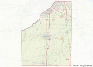
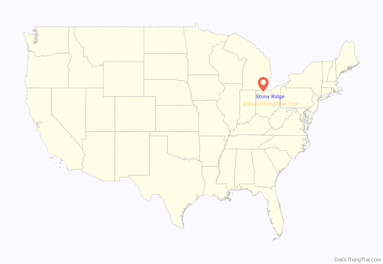
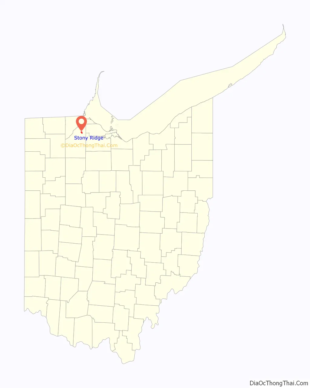
Stony Ridge location map. Where is Stony Ridge CDP?
History
Stony Ridge was platted in 1872, and named for the stony terrain of the original town site. A post office called Stony Ridge has been in operation since 1837.
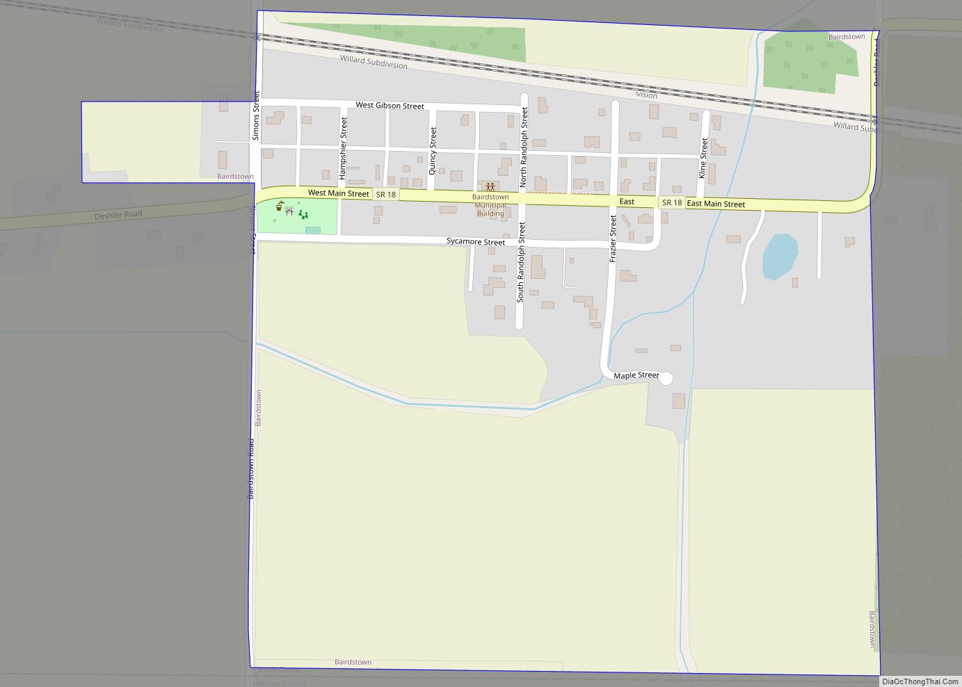
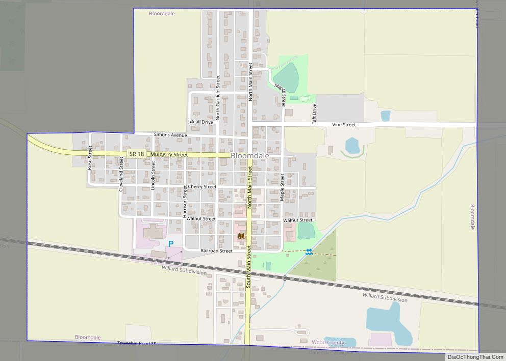
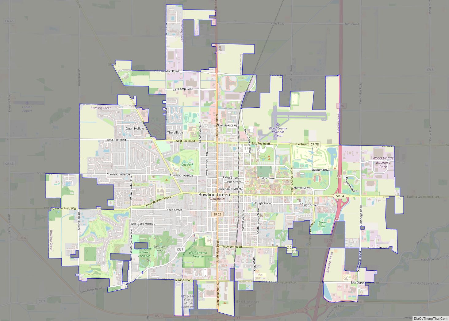
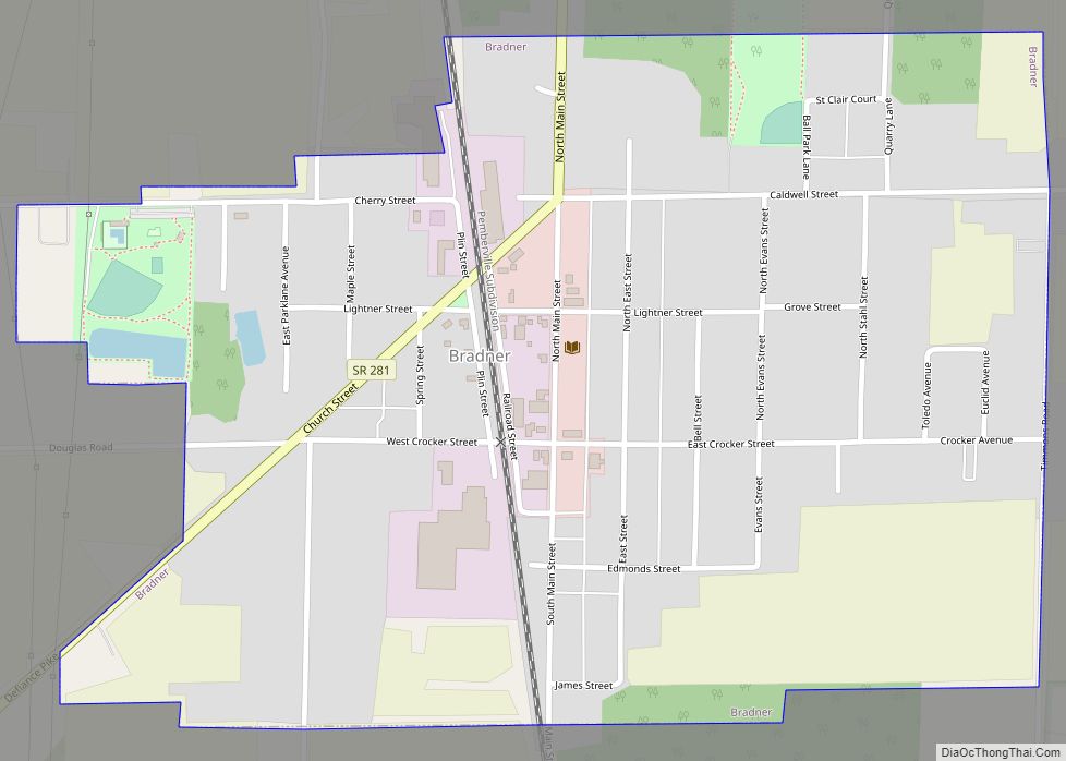
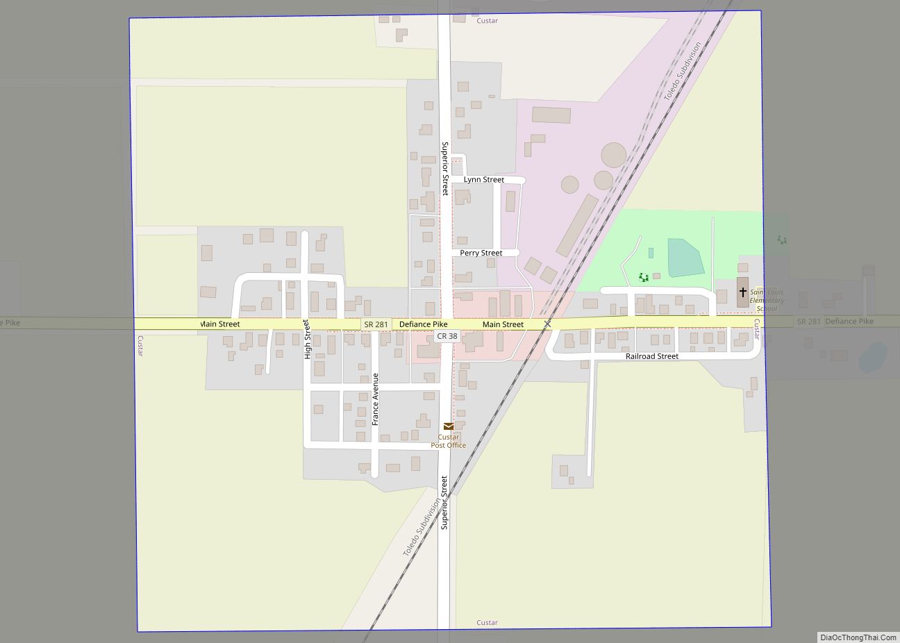
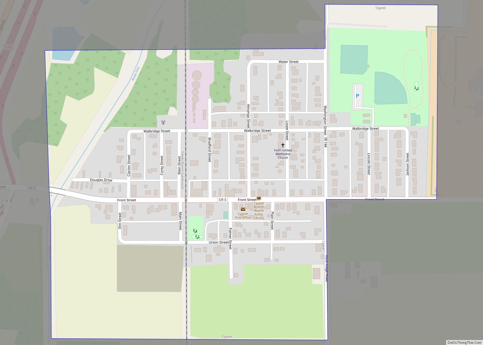
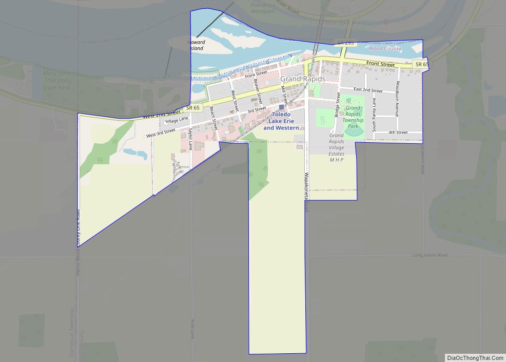
Stony Ridge Road Map
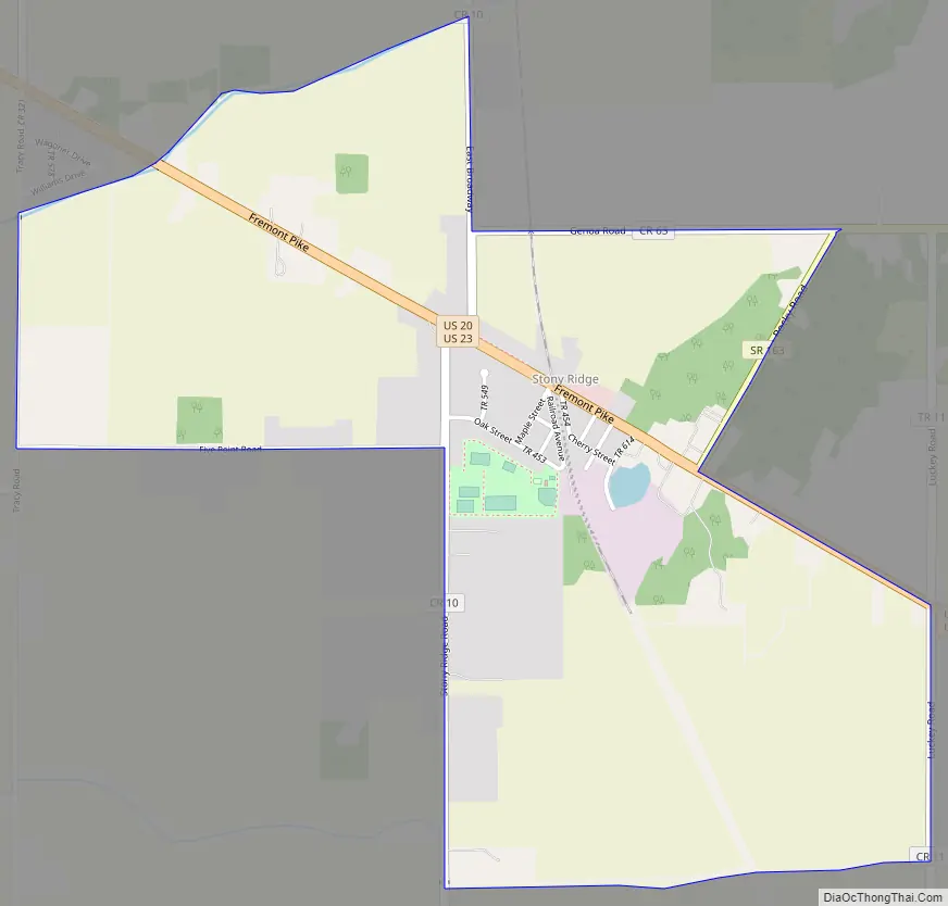
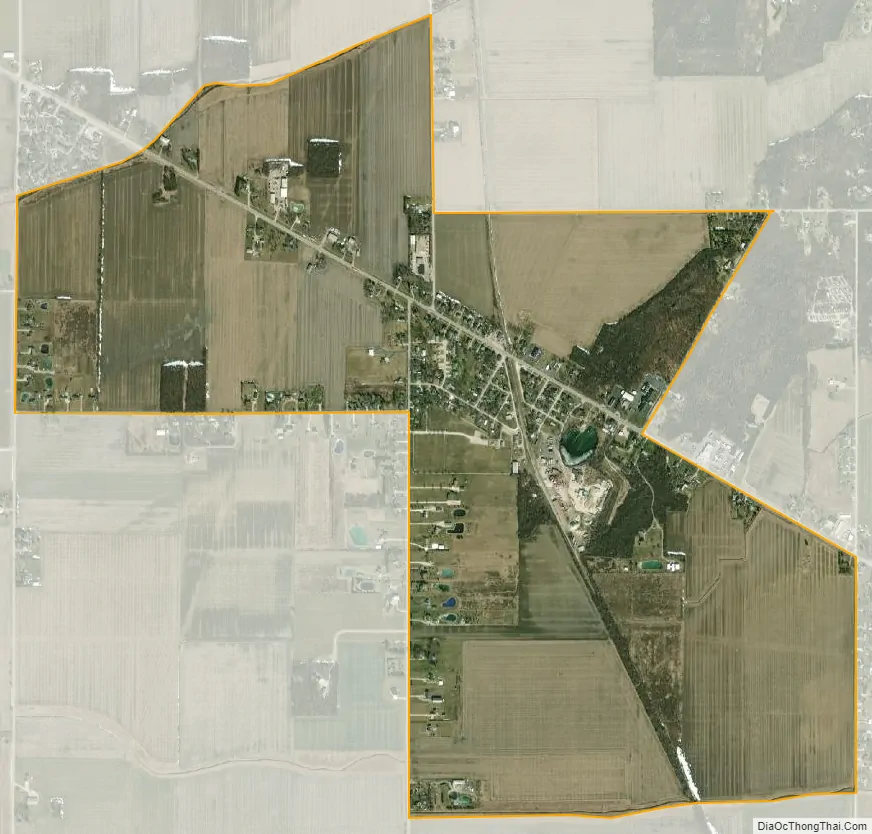
Stony Ridge city Satellite Map
Geography
It is located along the concurrent U.S. Routes 20 and 23, at Stony Ridge Road and East Broadway. It contains a branch of the Pemberville Public Library, a community park, Stony Ridge United Methodist Church, and St. John’s Lutheran Church.
According to the U.S. Census Bureau, the CDP has an area of 1.7 square miles (4.4 km), all land.
See also
Map of Ohio State and its subdivision:- Adams
- Allen
- Ashland
- Ashtabula
- Athens
- Auglaize
- Belmont
- Brown
- Butler
- Carroll
- Champaign
- Clark
- Clermont
- Clinton
- Columbiana
- Coshocton
- Crawford
- Cuyahoga
- Darke
- Defiance
- Delaware
- Erie
- Fairfield
- Fayette
- Franklin
- Fulton
- Gallia
- Geauga
- Greene
- Guernsey
- Hamilton
- Hancock
- Hardin
- Harrison
- Henry
- Highland
- Hocking
- Holmes
- Huron
- Jackson
- Jefferson
- Knox
- Lake
- Lake Erie
- Lawrence
- Licking
- Logan
- Lorain
- Lucas
- Madison
- Mahoning
- Marion
- Medina
- Meigs
- Mercer
- Miami
- Monroe
- Montgomery
- Morgan
- Morrow
- Muskingum
- Noble
- Ottawa
- Paulding
- Perry
- Pickaway
- Pike
- Portage
- Preble
- Putnam
- Richland
- Ross
- Sandusky
- Scioto
- Seneca
- Shelby
- Stark
- Summit
- Trumbull
- Tuscarawas
- Union
- Van Wert
- Vinton
- Warren
- Washington
- Wayne
- Williams
- Wood
- Wyandot
- Alabama
- Alaska
- Arizona
- Arkansas
- California
- Colorado
- Connecticut
- Delaware
- District of Columbia
- Florida
- Georgia
- Hawaii
- Idaho
- Illinois
- Indiana
- Iowa
- Kansas
- Kentucky
- Louisiana
- Maine
- Maryland
- Massachusetts
- Michigan
- Minnesota
- Mississippi
- Missouri
- Montana
- Nebraska
- Nevada
- New Hampshire
- New Jersey
- New Mexico
- New York
- North Carolina
- North Dakota
- Ohio
- Oklahoma
- Oregon
- Pennsylvania
- Rhode Island
- South Carolina
- South Dakota
- Tennessee
- Texas
- Utah
- Vermont
- Virginia
- Washington
- West Virginia
- Wisconsin
- Wyoming