Strongsville is a city in Cuyahoga County, Ohio, United States, and a suburb of Cleveland. As of the 2020 census, the city population was 46,491.
The city’s nickname, ‘Crossroads of the Nation,’ originated from the intersection between the Baltimore and Ohio Railroad and Southwestern Electric Line that connected Cleveland and Wooster, Ohio. As the railroad line ceased operation in 1931, the motto and city seal have been adapted to reflect the modern day intersection of Interstate 71 and the Ohio Turnpike.
| Name: | Strongsville city |
|---|---|
| LSAD Code: | 25 |
| LSAD Description: | city (suffix) |
| State: | Ohio |
| County: | Cuyahoga County |
| Incorporated: | 1961 |
| Elevation: | 932 ft (284 m) |
| Total Area: | 24.63 sq mi (63.79 km²) |
| Land Area: | 24.62 sq mi (63.77 km²) |
| Water Area: | 0.01 sq mi (0.02 km²) 0.04% |
| Total Population: | 46,491 |
| Population Density: | 1,888.19/sq mi (729.04/km²) |
| Area code: | 440 |
| FIPS code: | 3975098 |
| GNISfeature ID: | 1065396 |
| Website: | www.strongsville.org |
Online Interactive Map
Click on ![]() to view map in "full screen" mode.
to view map in "full screen" mode.
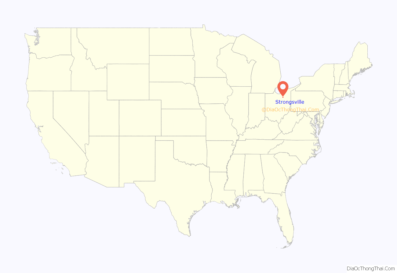
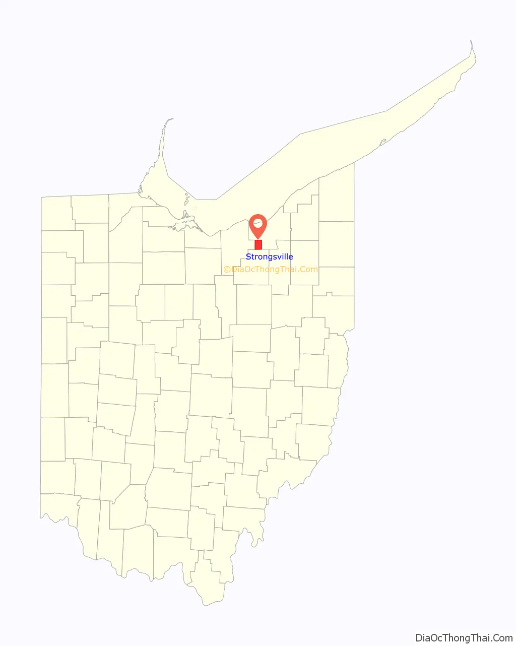
Strongsville location map. Where is Strongsville city?
History
Strongsville officially became a township on February 25, 1818, a village in 1923, and was ultimately designated a city in 1961. Founded by settlers arriving in the newly purchased Connecticut Western Reserve, the city was named after John Stoughton Strong, the group’s leader. Many of the main streets in the city are named after other principal figures and landowners from the city’s history, e.g. Howe, Drake, Shurmer, Whitney.
In the mid-19th century, the Pomeroy House, then called The Homestead, was a stop on the underground railroad. Alanson Pomeroy, the home owner and a prominent Strongsville resident, concealed runaway slaves on his property. From this residence in Strongsville, the runaway slaves were taken to boats on Rocky River for passage to Canada.
In 1853, John D. Rockefeller’s family moved to Strongsville. At the time, Rockefeller was only a child.
On April 11, 1965, an F4 tornado hit Strongsville; see 1965 Palm Sunday tornado outbreak.
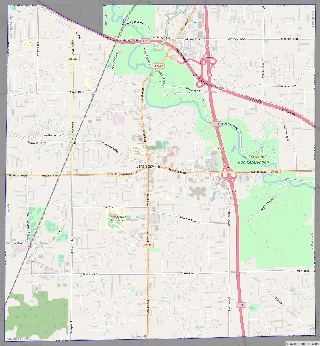
Strongsville Road Map
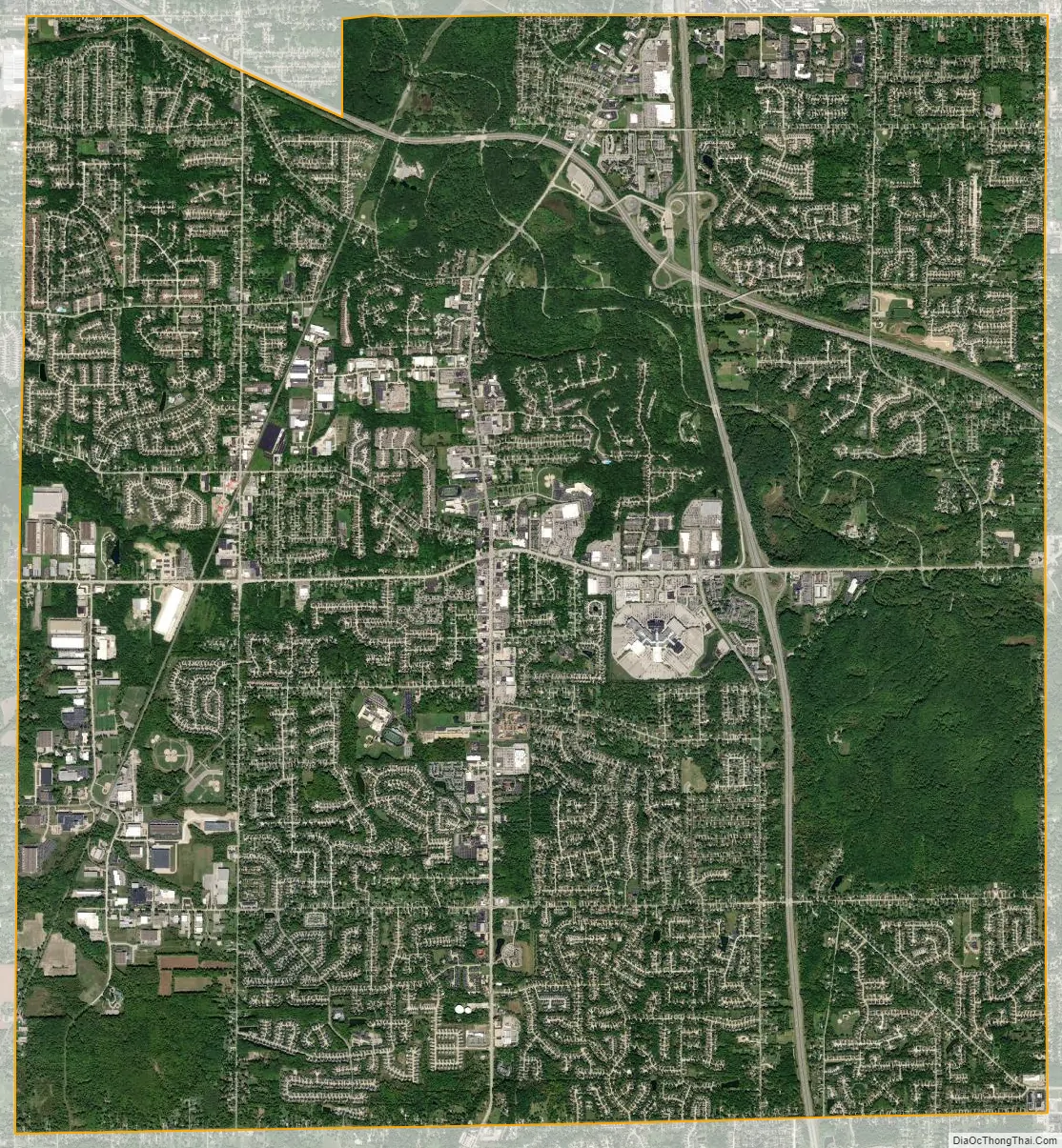
Strongsville city Satellite Map
Geography
Strongsville is located at 41°18′46″N 81°49′55″W / 41.31278°N 81.83194°W / 41.31278; -81.83194 (41.312752, -81.831976).
According to the United States Census Bureau, the city has a total area of 24.64 square miles (63.82 km), of which 24.63 square miles (63.79 km) is land and 0.01 square miles (0.03 km) is water. The east branch of the Rocky River enters Strongsville from North Royalton and exits into Berea. Valley Parkway parallels the river’s northwesterly course. This portion of the Cleveland Metroparks, named Mill Stream Run, includes Bonnie Park and Ranger Lake. Abutting the Rocky River, the recreation area offers visitors a pavilion, picnicking facilities, two small ponds, and several sport fields. Bonnie Park serves as a hub for hiking, bridle, and paved multi-purpose trails.
See also
Map of Ohio State and its subdivision:- Adams
- Allen
- Ashland
- Ashtabula
- Athens
- Auglaize
- Belmont
- Brown
- Butler
- Carroll
- Champaign
- Clark
- Clermont
- Clinton
- Columbiana
- Coshocton
- Crawford
- Cuyahoga
- Darke
- Defiance
- Delaware
- Erie
- Fairfield
- Fayette
- Franklin
- Fulton
- Gallia
- Geauga
- Greene
- Guernsey
- Hamilton
- Hancock
- Hardin
- Harrison
- Henry
- Highland
- Hocking
- Holmes
- Huron
- Jackson
- Jefferson
- Knox
- Lake
- Lake Erie
- Lawrence
- Licking
- Logan
- Lorain
- Lucas
- Madison
- Mahoning
- Marion
- Medina
- Meigs
- Mercer
- Miami
- Monroe
- Montgomery
- Morgan
- Morrow
- Muskingum
- Noble
- Ottawa
- Paulding
- Perry
- Pickaway
- Pike
- Portage
- Preble
- Putnam
- Richland
- Ross
- Sandusky
- Scioto
- Seneca
- Shelby
- Stark
- Summit
- Trumbull
- Tuscarawas
- Union
- Van Wert
- Vinton
- Warren
- Washington
- Wayne
- Williams
- Wood
- Wyandot
- Alabama
- Alaska
- Arizona
- Arkansas
- California
- Colorado
- Connecticut
- Delaware
- District of Columbia
- Florida
- Georgia
- Hawaii
- Idaho
- Illinois
- Indiana
- Iowa
- Kansas
- Kentucky
- Louisiana
- Maine
- Maryland
- Massachusetts
- Michigan
- Minnesota
- Mississippi
- Missouri
- Montana
- Nebraska
- Nevada
- New Hampshire
- New Jersey
- New Mexico
- New York
- North Carolina
- North Dakota
- Ohio
- Oklahoma
- Oregon
- Pennsylvania
- Rhode Island
- South Carolina
- South Dakota
- Tennessee
- Texas
- Utah
- Vermont
- Virginia
- Washington
- West Virginia
- Wisconsin
- Wyoming


