Summerside is a census-designated place (CDP) in Union Township, Clermont County, Ohio, United States. Its population was 4,941 as of the 2020 census.
| Name: | Summerside CDP |
|---|---|
| LSAD Code: | 57 |
| LSAD Description: | CDP (suffix) |
| State: | Ohio |
| County: | Clermont County |
| Elevation: | 879 ft (268 m) |
| Total Area: | 2.07 sq mi (5.36 km²) |
| Land Area: | 2.06 sq mi (5.34 km²) |
| Water Area: | 0.01 sq mi (0.02 km²) |
| Total Population: | 4,941 |
| Population Density: | 2,393.90/sq mi (924.44/km²) |
| FIPS code: | 3975434 |
| GNISfeature ID: | 1049226 |
Online Interactive Map
Click on ![]() to view map in "full screen" mode.
to view map in "full screen" mode.
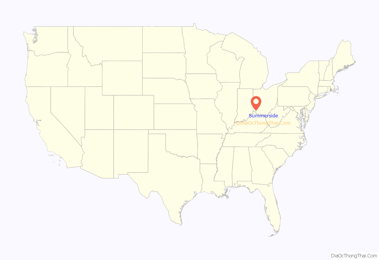
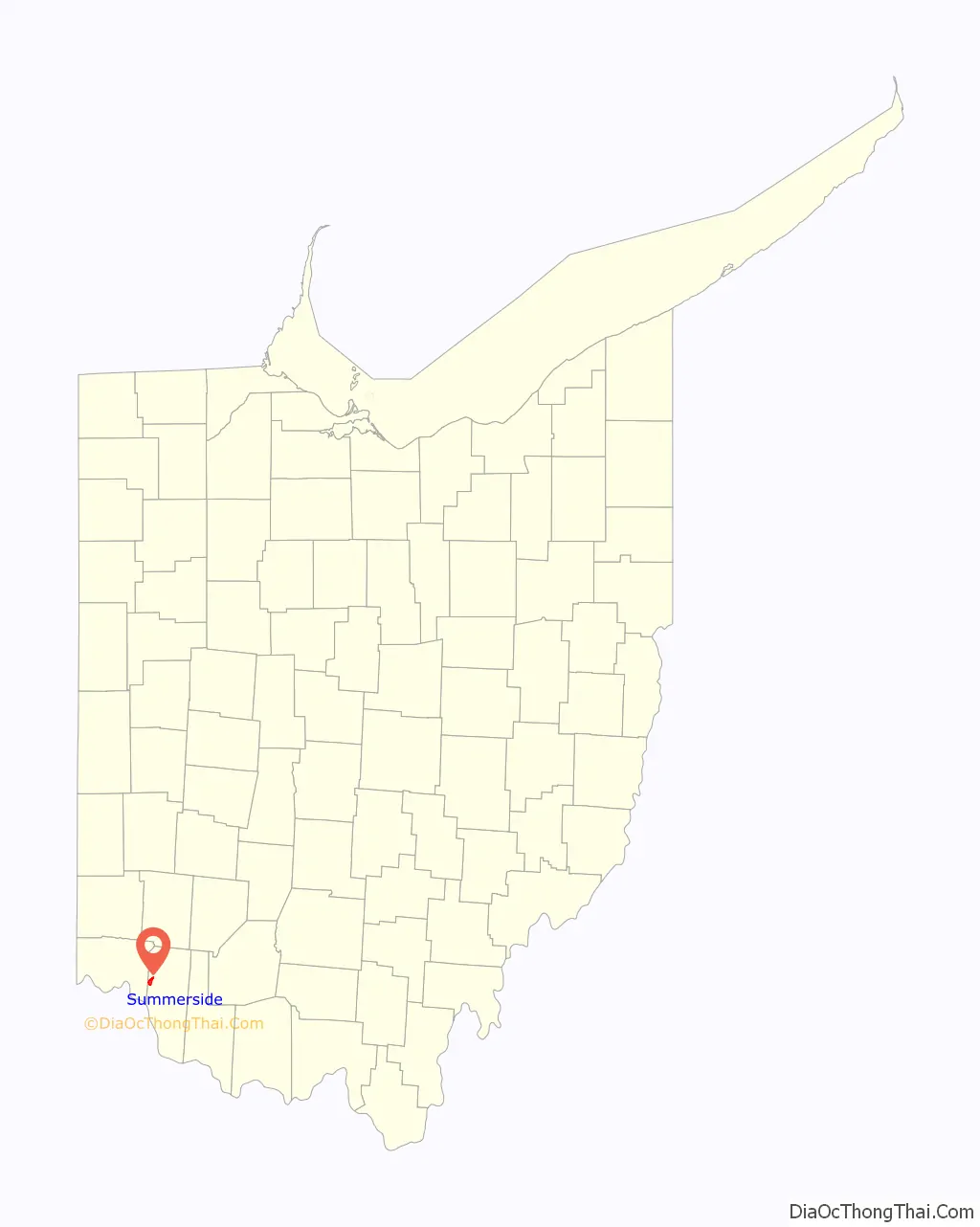
Summerside location map. Where is Summerside CDP?
History
Originally known as “East Mount Carmel”, the name of the community was changed around the time a post office was established in August 1887.
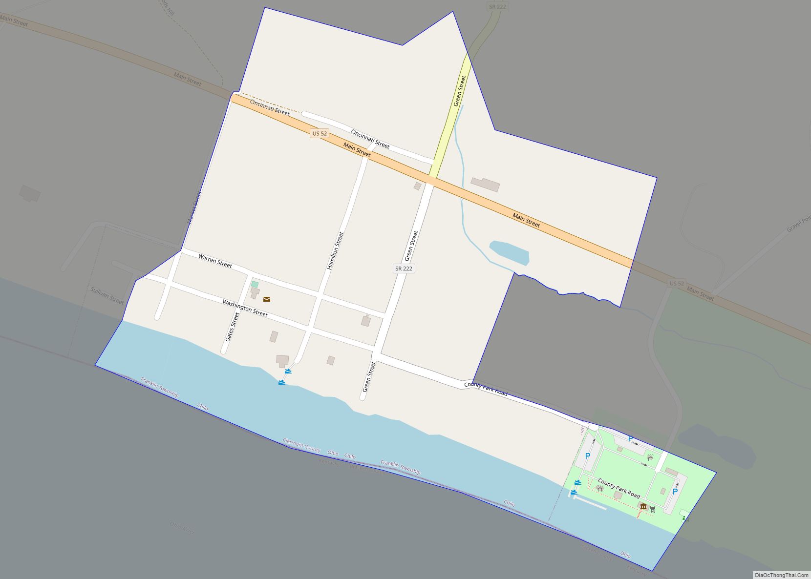
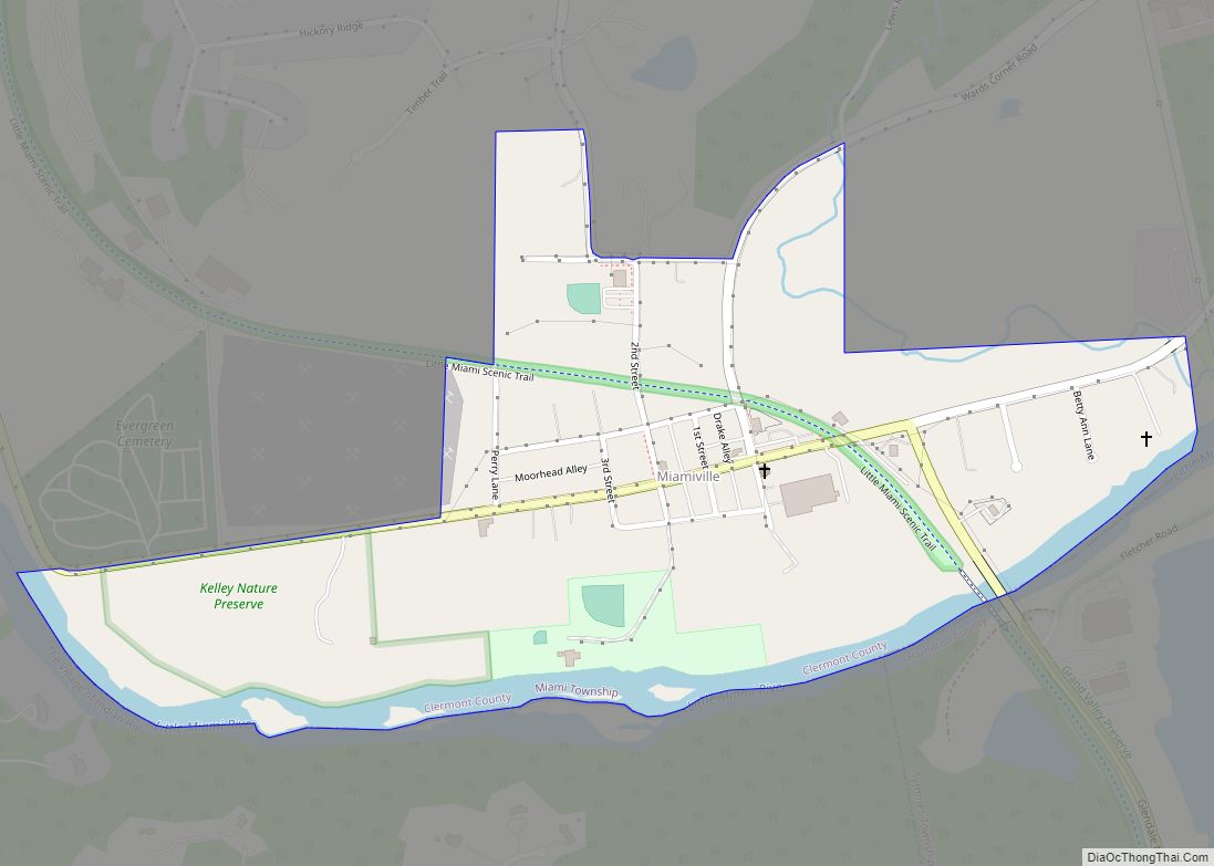
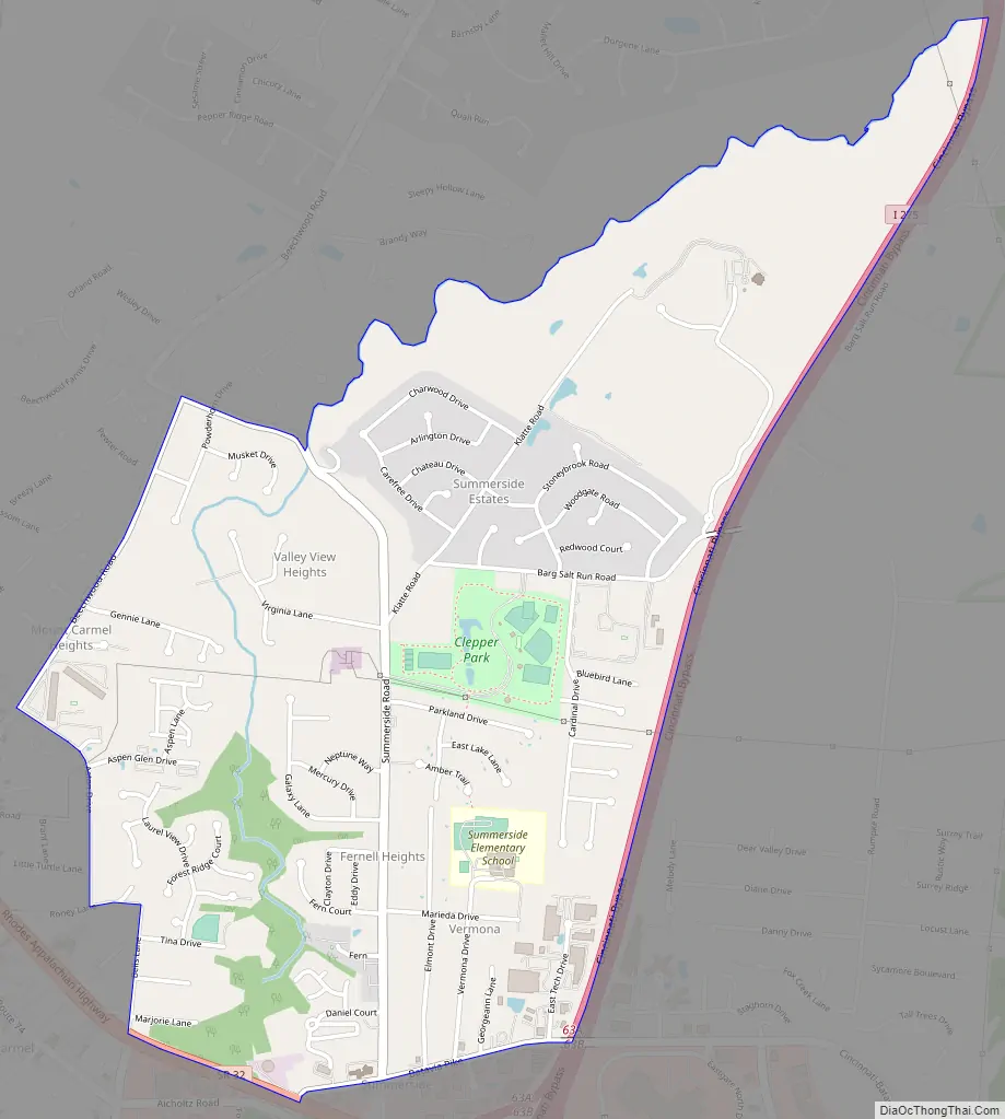
Summerside Road Map
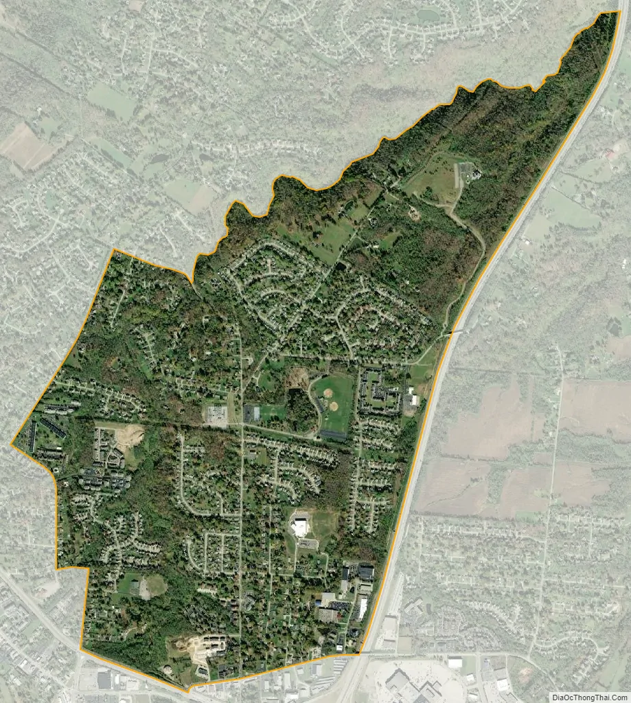
Summerside city Satellite Map
Geography
Summerside is located in western Clermont County at 39°7′2″N 84°17′27″W / 39.11722°N 84.29083°W / 39.11722; -84.29083 (39.117261, -84.290728), in the western part of Union Township. It is bordered to the south by Mount Carmel. Ohio State Route 32 forms part of the southern boundary of the CDP, and Interstate 275 forms the eastern boundary, with access to Summerside from Exit 63, where it intersects Route 32. Downtown Cincinnati is 16 miles (26 km) to the west via Route 32 and U.S. Route 50.
According to the United States Census Bureau, the CDP has a total area of 2.1 square miles (5.4 km), of which 0.008 square miles (0.02 km), or 0.32%, is water.
See also
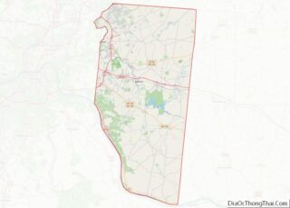
Map of Ohio State and its subdivision:- Adams
- Allen
- Ashland
- Ashtabula
- Athens
- Auglaize
- Belmont
- Brown
- Butler
- Carroll
- Champaign
- Clark
- Clermont
- Clinton
- Columbiana
- Coshocton
- Crawford
- Cuyahoga
- Darke
- Defiance
- Delaware
- Erie
- Fairfield
- Fayette
- Franklin
- Fulton
- Gallia
- Geauga
- Greene
- Guernsey
- Hamilton
- Hancock
- Hardin
- Harrison
- Henry
- Highland
- Hocking
- Holmes
- Huron
- Jackson
- Jefferson
- Knox
- Lake
- Lake Erie
- Lawrence
- Licking
- Logan
- Lorain
- Lucas
- Madison
- Mahoning
- Marion
- Medina
- Meigs
- Mercer
- Miami
- Monroe
- Montgomery
- Morgan
- Morrow
- Muskingum
- Noble
- Ottawa
- Paulding
- Perry
- Pickaway
- Pike
- Portage
- Preble
- Putnam
- Richland
- Ross
- Sandusky
- Scioto
- Seneca
- Shelby
- Stark
- Summit
- Trumbull
- Tuscarawas
- Union
- Van Wert
- Vinton
- Warren
- Washington
- Wayne
- Williams
- Wood
- Wyandot
- Alabama
- Alaska
- Arizona
- Arkansas
- California
- Colorado
- Connecticut
- Delaware
- District of Columbia
- Florida
- Georgia
- Hawaii
- Idaho
- Illinois
- Indiana
- Iowa
- Kansas
- Kentucky
- Louisiana
- Maine
- Maryland
- Massachusetts
- Michigan
- Minnesota
- Mississippi
- Missouri
- Montana
- Nebraska
- Nevada
- New Hampshire
- New Jersey
- New Mexico
- New York
- North Carolina
- North Dakota
- Ohio
- Oklahoma
- Oregon
- Pennsylvania
- Rhode Island
- South Carolina
- South Dakota
- Tennessee
- Texas
- Utah
- Vermont
- Virginia
- Washington
- West Virginia
- Wisconsin
- Wyoming