Terrace Park is a village in Hamilton County, Ohio, and a wealthy suburb of Greater Cincinnati. The population was 2,355 at the 2020 census.
| Name: | Terrace Park village |
|---|---|
| LSAD Code: | 47 |
| LSAD Description: | village (suffix) |
| State: | Ohio |
| County: | Hamilton County |
| Elevation: | 561 ft (171 m) |
| Total Area: | 1.24 sq mi (3.21 km²) |
| Land Area: | 1.19 sq mi (3.07 km²) |
| Water Area: | 0.05 sq mi (0.13 km²) |
| Total Population: | 2,355 |
| Population Density: | 1,985.67/sq mi (766.48/km²) |
| ZIP code: | 45174 |
| Area code: | 513 |
| FIPS code: | 3976428 |
| GNISfeature ID: | 1061680 |
| Website: | www.terracepark.org/village |
Online Interactive Map
Click on ![]() to view map in "full screen" mode.
to view map in "full screen" mode.
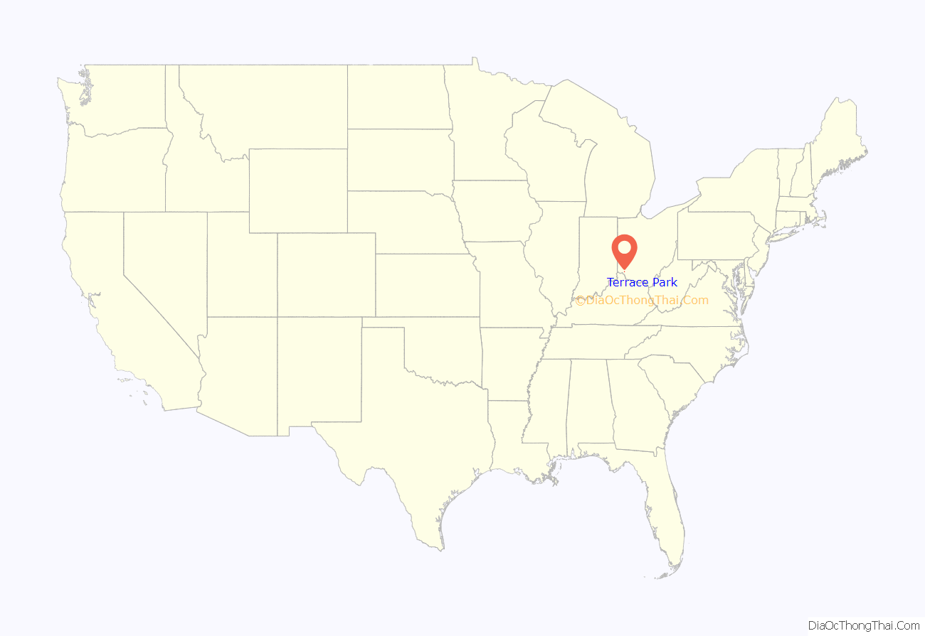
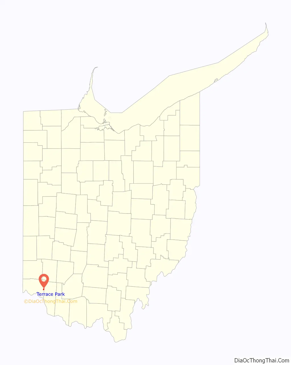
Terrace Park location map. Where is Terrace Park village?
History
The primary document for the history of Terrace Park is “A Place Called Terrace Park” by Ellis Rawnsley (1992).
Rawnsley notes that the earliest human inhabitants of Terrace Park may have arrived as early as 12,000 years ago—the Paleo-Indians. Although “no traces of established settlements have ever been found,” flints showing evidence of these nomadic people have been found in various locations in the areas surrounding Terrace Park.
Circa approximately 1000 B.C., settlements appeared in Hamilton County, Ohio.
According to Rawnsley, “Two thousand or more years ago, a primitive people built, in what is now Terrace Park, one of the largest of its kind of the 295 prehistoric earthworks ever found in Hamilton County.”
Mounds from the Adena culture are found throughout a wide area which contains Terrace Park.
In January 1789, Abraham Covalt established a small fortified settlement called Covalt Station in what is now Terrace Park. The area was surrounded by Shawnee settlements, and the Shawnee were hostile towards the white settlement in their midst. Covalt Station had to be abandoned in 1792 due to continuing attacks by the Shawnee, and white settlers only returned after General “Mad Anthony” Wayne defeated the Native American Western Confederacy at the Battle of Fallen Timbers and secured the Treaty of Greenville which ceded all of southern Ohio (and other territory) to the United States. Before roads and railroads connected the village to other nearby settlements, such as Milford, most residents of Terrace Park kept cattle and chickens, and engaged in other agricultural activities for their own subsistence, and had “homesteads” as opposed to the ordered residential village of today.
Terrace Park was incorporated in 1893.
The John Robinson Circus, founded by John H. Robinson, had its winter home in Terrace Park until 1916. During the time that the circus wintered in Terrace Park, it was not unusual for elephants to roam free about the village, until the village council asked in 1910 that they be restrained. The famous elephant Tillie was known to walk the streets of Terrace Park, where she is now buried.
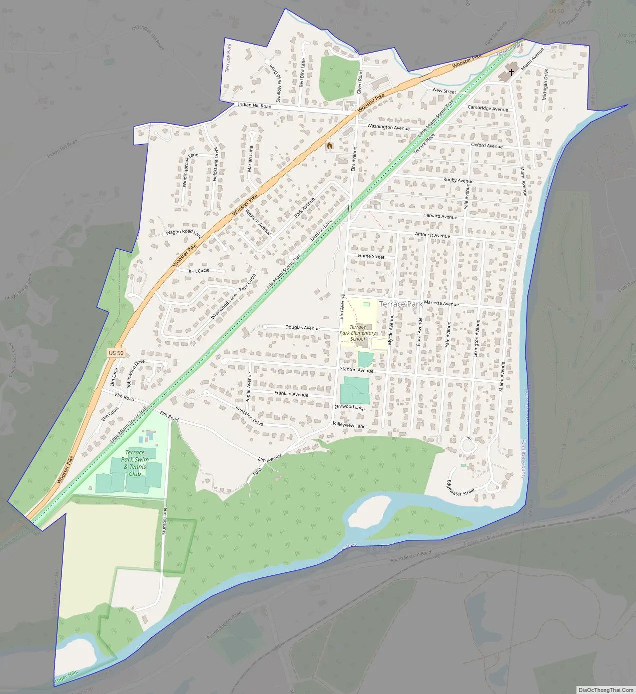
Terrace Park Road Map
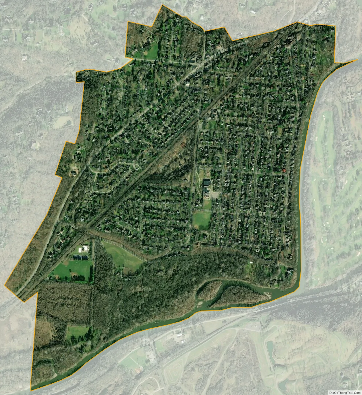
Terrace Park city Satellite Map
Geography
Terrace Park is located at 39°9′36″N 84°18′29″W / 39.16000°N 84.30806°W / 39.16000; -84.30806 (39.159911, -84.308192).
According to the United States Census Bureau, the village has a total area of 1.22 square miles (3.16 km), of which 1.17 square miles (3.03 km) is land and 0.05 square miles (0.13 km) is water. Terrace Park feeds into the Mariemont City School District, which includes Mariemont High School.
See also
Map of Ohio State and its subdivision:- Adams
- Allen
- Ashland
- Ashtabula
- Athens
- Auglaize
- Belmont
- Brown
- Butler
- Carroll
- Champaign
- Clark
- Clermont
- Clinton
- Columbiana
- Coshocton
- Crawford
- Cuyahoga
- Darke
- Defiance
- Delaware
- Erie
- Fairfield
- Fayette
- Franklin
- Fulton
- Gallia
- Geauga
- Greene
- Guernsey
- Hamilton
- Hancock
- Hardin
- Harrison
- Henry
- Highland
- Hocking
- Holmes
- Huron
- Jackson
- Jefferson
- Knox
- Lake
- Lake Erie
- Lawrence
- Licking
- Logan
- Lorain
- Lucas
- Madison
- Mahoning
- Marion
- Medina
- Meigs
- Mercer
- Miami
- Monroe
- Montgomery
- Morgan
- Morrow
- Muskingum
- Noble
- Ottawa
- Paulding
- Perry
- Pickaway
- Pike
- Portage
- Preble
- Putnam
- Richland
- Ross
- Sandusky
- Scioto
- Seneca
- Shelby
- Stark
- Summit
- Trumbull
- Tuscarawas
- Union
- Van Wert
- Vinton
- Warren
- Washington
- Wayne
- Williams
- Wood
- Wyandot
- Alabama
- Alaska
- Arizona
- Arkansas
- California
- Colorado
- Connecticut
- Delaware
- District of Columbia
- Florida
- Georgia
- Hawaii
- Idaho
- Illinois
- Indiana
- Iowa
- Kansas
- Kentucky
- Louisiana
- Maine
- Maryland
- Massachusetts
- Michigan
- Minnesota
- Mississippi
- Missouri
- Montana
- Nebraska
- Nevada
- New Hampshire
- New Jersey
- New Mexico
- New York
- North Carolina
- North Dakota
- Ohio
- Oklahoma
- Oregon
- Pennsylvania
- Rhode Island
- South Carolina
- South Dakota
- Tennessee
- Texas
- Utah
- Vermont
- Virginia
- Washington
- West Virginia
- Wisconsin
- Wyoming


