The Plains is a census-designated place (CDP) in Athens County, Ohio, United States. The population was 3,140 at the 2020 census.
| Name: | The Plains CDP |
|---|---|
| LSAD Code: | 57 |
| LSAD Description: | CDP (suffix) |
| State: | Ohio |
| County: | Athens County |
| Elevation: | 715 ft (218 m) |
| Total Area: | 2.29 sq mi (5.92 km²) |
| Land Area: | 2.28 sq mi (5.90 km²) |
| Water Area: | 0.01 sq mi (0.02 km²) |
| Total Population: | 3,140 |
| Population Density: | 1,377.19/sq mi (531.79/km²) |
| ZIP code: | 45780 |
| Area code: | 740 |
| FIPS code: | 3976568 |
| GNISfeature ID: | 1077041 |
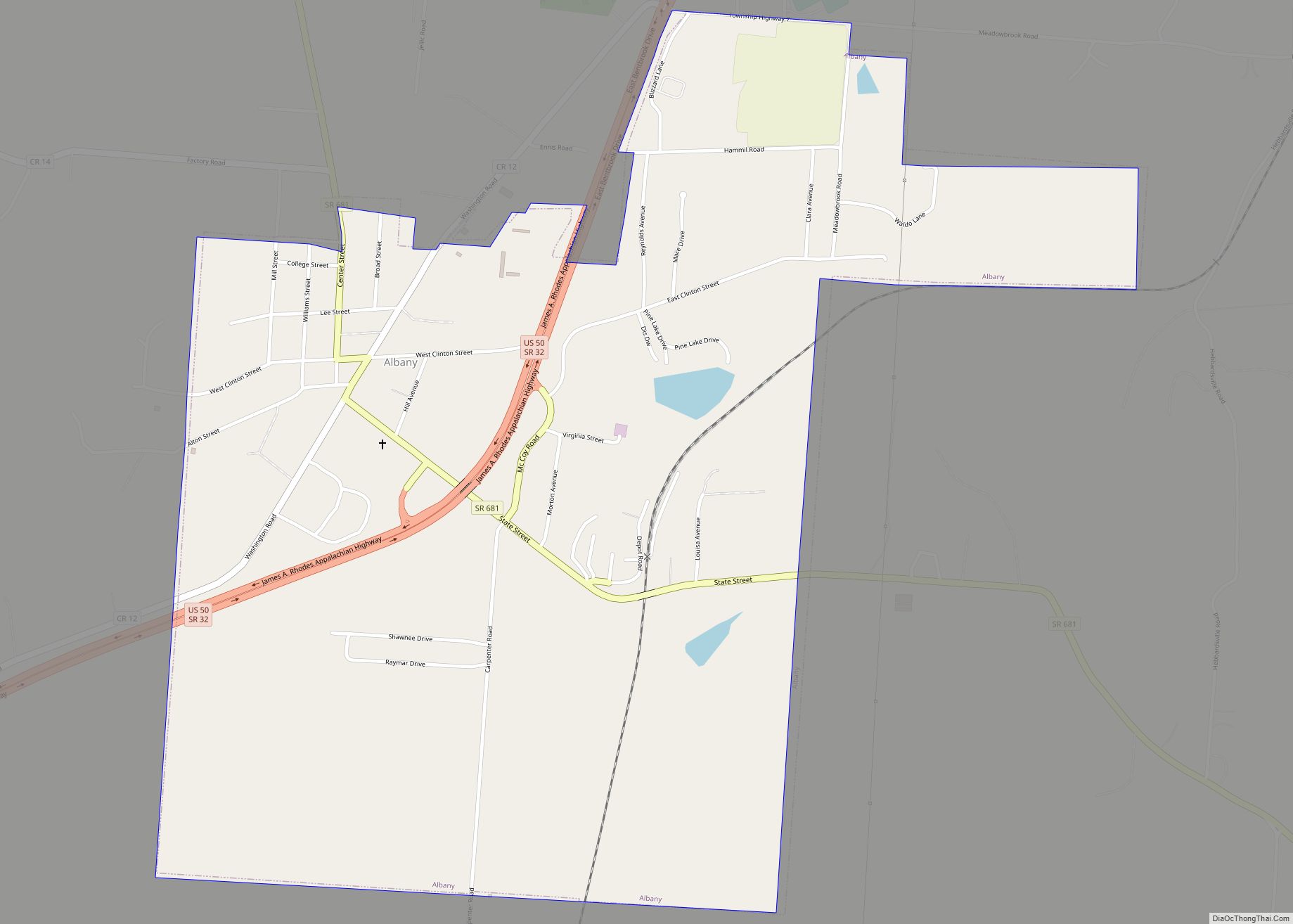
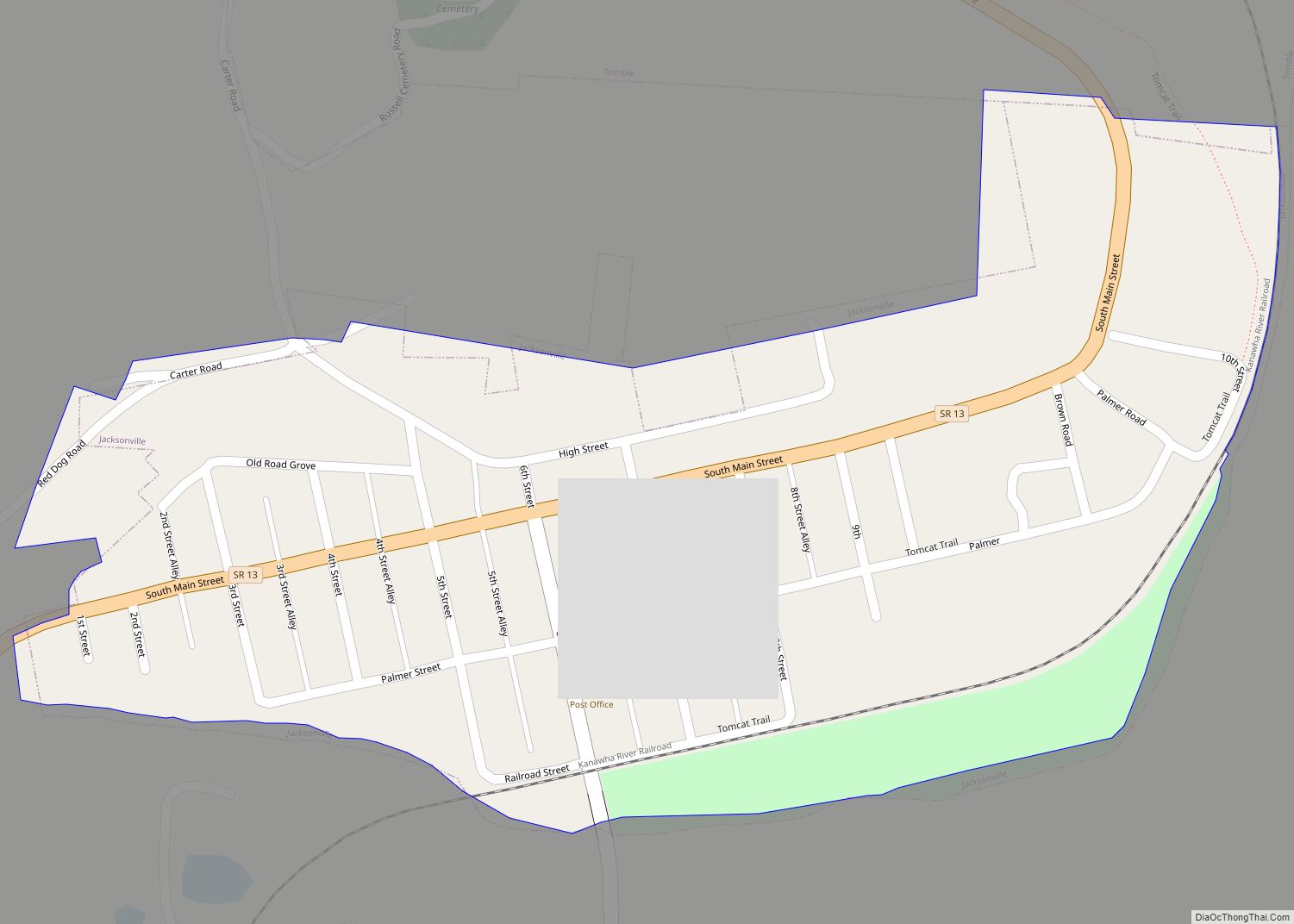
Online Interactive Map
Click on ![]() to view map in "full screen" mode.
to view map in "full screen" mode.
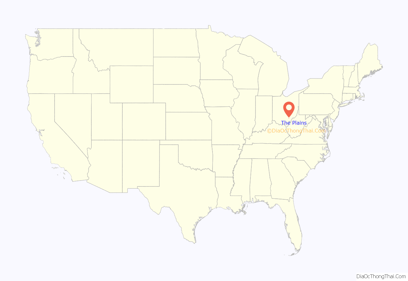
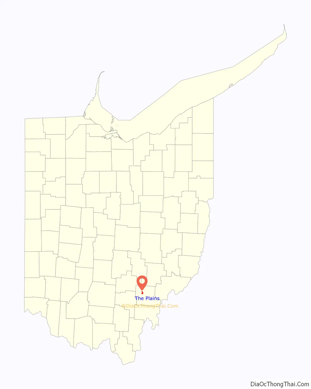
The Plains location map. Where is The Plains CDP?
History
“The Plains” originally referred to the local region where the Mound Builders lived and built their signature Indian mounds. A post office called The Plains has been in operation since 1908.
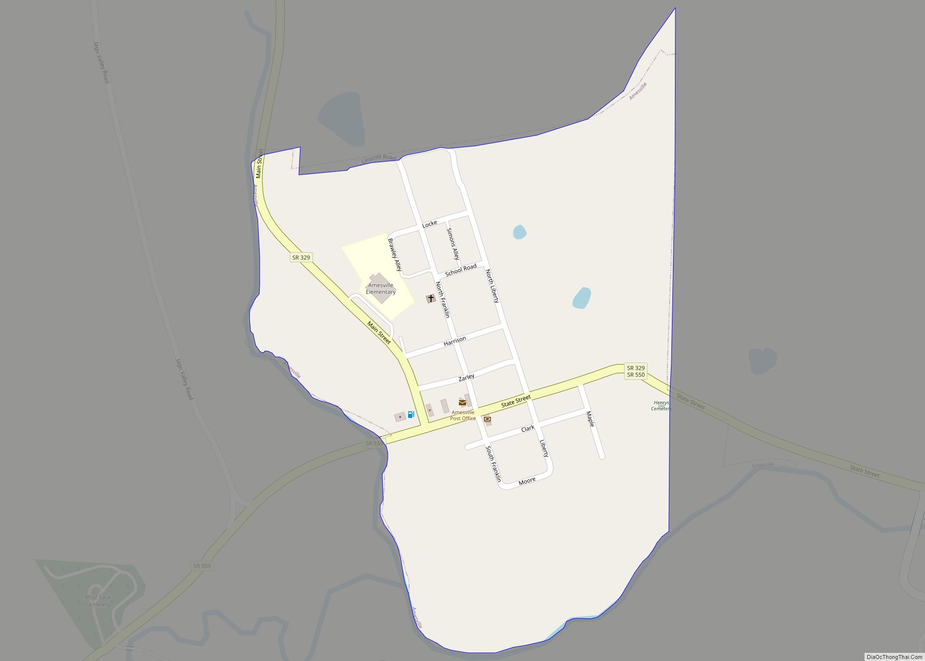
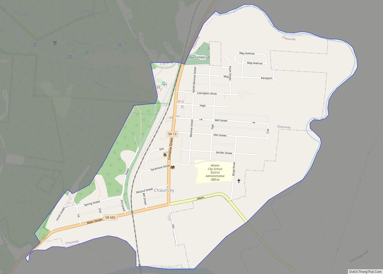
The Plains Road Map
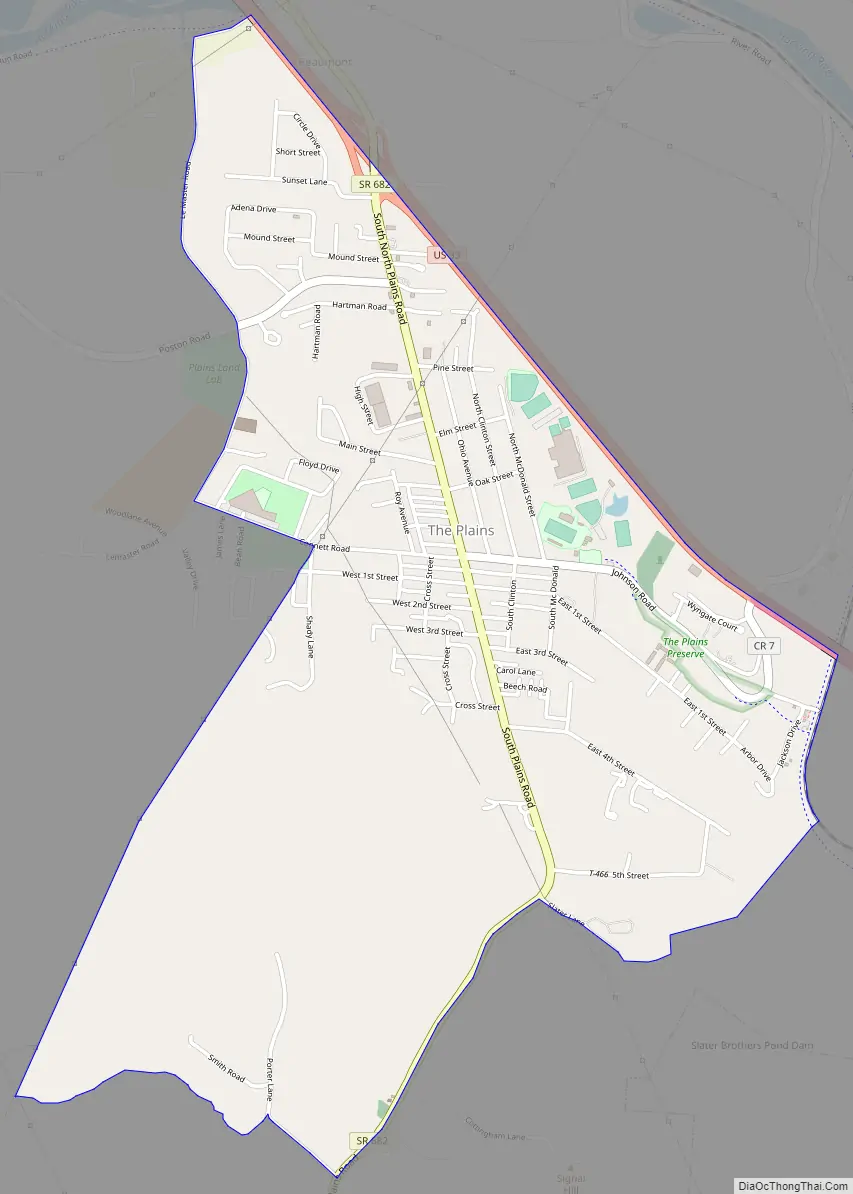
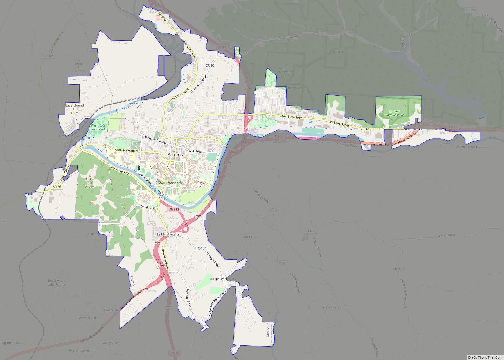
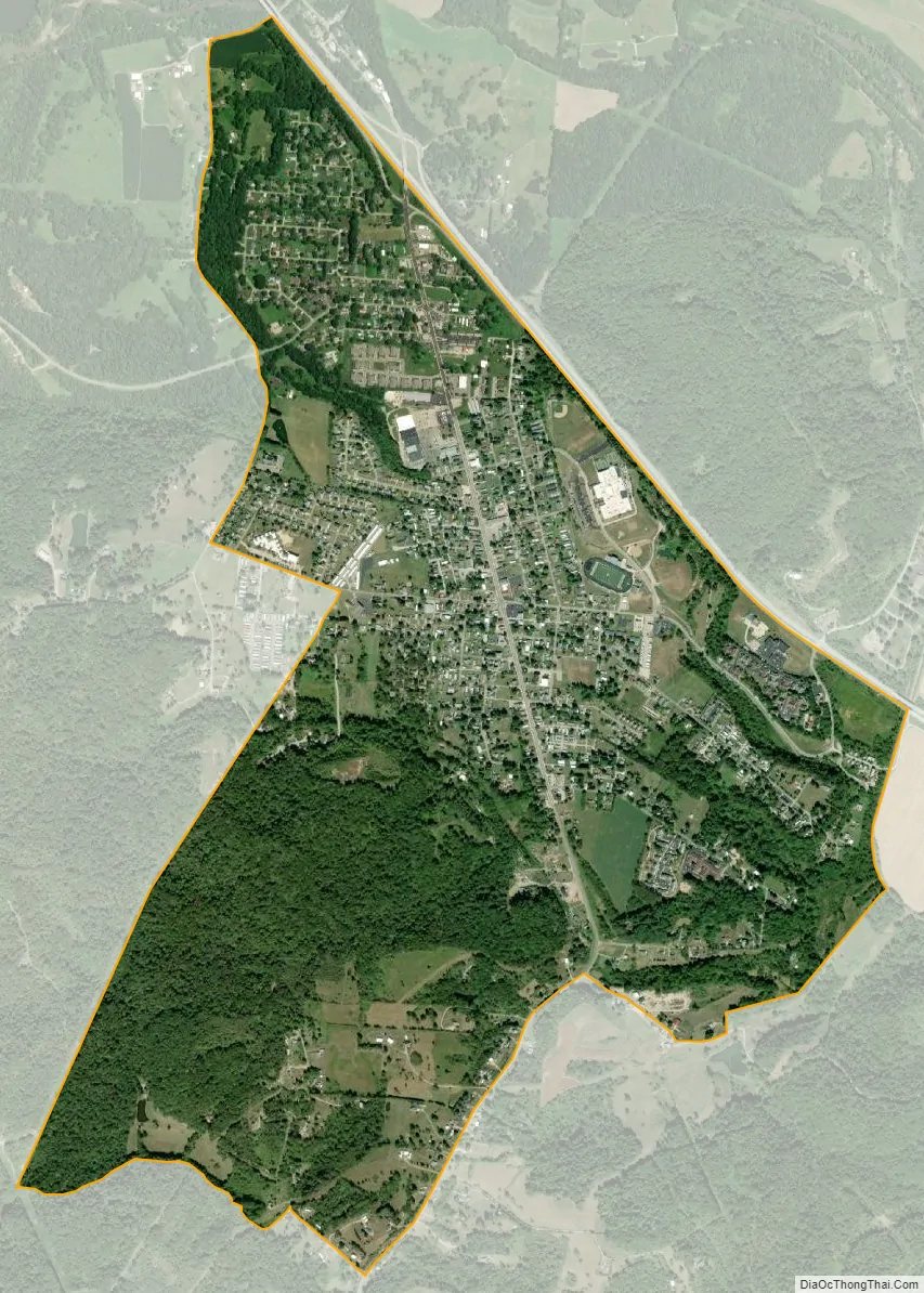
The Plains city Satellite Map
Geography
The Plains is located at 39°22′13″N 82°7′56″W / 39.37028°N 82.13222°W / 39.37028; -82.13222 (39.370281, -82.132299).
According to the United States Census Bureau, the CDP has a total area of 2.3 square miles (5.9 km), of which 0.0077 square miles (0.02 km), or 0.28%, is water.
Open space
A nature preserve was created in The Plains recently by the Athens Conservancy. An extension of the Hockhocking Adena Bikeway is planned to traverse the preserve and provide bikeway access for the community.
See also
Map of Ohio State and its subdivision:- Adams
- Allen
- Ashland
- Ashtabula
- Athens
- Auglaize
- Belmont
- Brown
- Butler
- Carroll
- Champaign
- Clark
- Clermont
- Clinton
- Columbiana
- Coshocton
- Crawford
- Cuyahoga
- Darke
- Defiance
- Delaware
- Erie
- Fairfield
- Fayette
- Franklin
- Fulton
- Gallia
- Geauga
- Greene
- Guernsey
- Hamilton
- Hancock
- Hardin
- Harrison
- Henry
- Highland
- Hocking
- Holmes
- Huron
- Jackson
- Jefferson
- Knox
- Lake
- Lake Erie
- Lawrence
- Licking
- Logan
- Lorain
- Lucas
- Madison
- Mahoning
- Marion
- Medina
- Meigs
- Mercer
- Miami
- Monroe
- Montgomery
- Morgan
- Morrow
- Muskingum
- Noble
- Ottawa
- Paulding
- Perry
- Pickaway
- Pike
- Portage
- Preble
- Putnam
- Richland
- Ross
- Sandusky
- Scioto
- Seneca
- Shelby
- Stark
- Summit
- Trumbull
- Tuscarawas
- Union
- Van Wert
- Vinton
- Warren
- Washington
- Wayne
- Williams
- Wood
- Wyandot
- Alabama
- Alaska
- Arizona
- Arkansas
- California
- Colorado
- Connecticut
- Delaware
- District of Columbia
- Florida
- Georgia
- Hawaii
- Idaho
- Illinois
- Indiana
- Iowa
- Kansas
- Kentucky
- Louisiana
- Maine
- Maryland
- Massachusetts
- Michigan
- Minnesota
- Mississippi
- Missouri
- Montana
- Nebraska
- Nevada
- New Hampshire
- New Jersey
- New Mexico
- New York
- North Carolina
- North Dakota
- Ohio
- Oklahoma
- Oregon
- Pennsylvania
- Rhode Island
- South Carolina
- South Dakota
- Tennessee
- Texas
- Utah
- Vermont
- Virginia
- Washington
- West Virginia
- Wisconsin
- Wyoming