Thornport is a census-designated place in Perry County, in the U.S. state of Ohio. It is 2 miles north of Thornville and 22 miles north of the county seat of New Lexington.
| Name: | Thornport CDP |
|---|---|
| LSAD Code: | 57 |
| LSAD Description: | CDP (suffix) |
| State: | Ohio |
| County: | Perry County |
| FIPS code: | 3976666 |
Online Interactive Map
Click on ![]() to view map in "full screen" mode.
to view map in "full screen" mode.
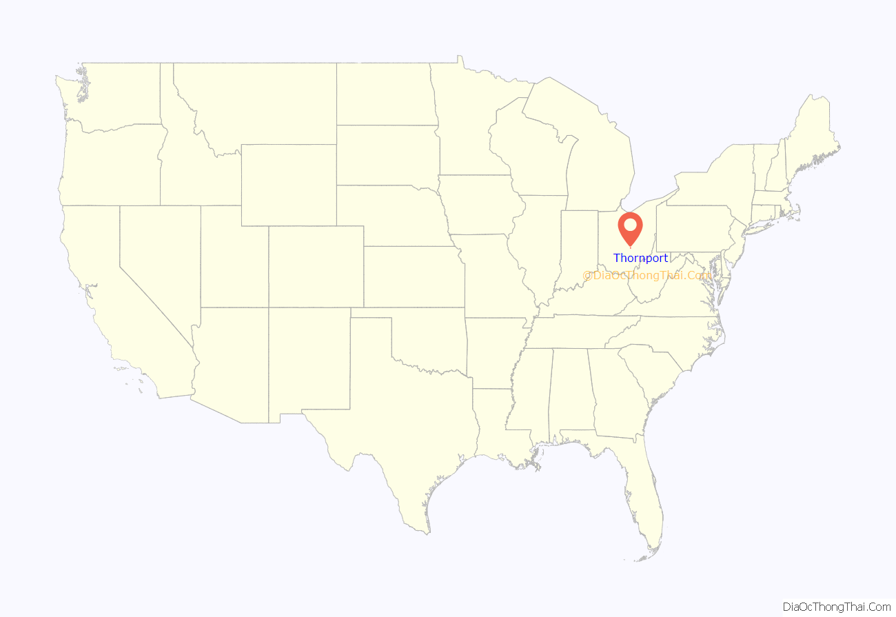
Thornport location map. Where is Thornport CDP?
History
Thornport is an unincorporated village laid out by Dr. W. W. Talbott in 1839, when his private improvement company dug a private feeder canal to connect Thorn Township to the main body of Licking Summit Reservoir in Fairfield and Licking counties. Dr. Talbott and his wife’s family, the Hoshors, owned a quarter section of land in Section 4, acquired from the US government and from which Thornport was platted. Thornport developed quickly in the early 19th century with the canal trade, with Thorn Township grain held at a large warehouse, and visitors staying at a large hotel. But after a mid-century storm, all fell to ruin, until a nearby railroad stabilized the pioneer village with traffic and visitors. At least one log cabin remains in Thornport, a testament to its early pioneer days and the canal trade. The Licking Summit Reservoir was since renamed Buckeye Lake.
Thornport is one of three villages which border Buckeye Lake, hence the “port” in its name. Nearby is the village of Thornville, established later and with numerous homes of the Victorian era.
Thornport Road Map
Thornport city Satellite Map
See also
Map of Ohio State and its subdivision:- Adams
- Allen
- Ashland
- Ashtabula
- Athens
- Auglaize
- Belmont
- Brown
- Butler
- Carroll
- Champaign
- Clark
- Clermont
- Clinton
- Columbiana
- Coshocton
- Crawford
- Cuyahoga
- Darke
- Defiance
- Delaware
- Erie
- Fairfield
- Fayette
- Franklin
- Fulton
- Gallia
- Geauga
- Greene
- Guernsey
- Hamilton
- Hancock
- Hardin
- Harrison
- Henry
- Highland
- Hocking
- Holmes
- Huron
- Jackson
- Jefferson
- Knox
- Lake
- Lake Erie
- Lawrence
- Licking
- Logan
- Lorain
- Lucas
- Madison
- Mahoning
- Marion
- Medina
- Meigs
- Mercer
- Miami
- Monroe
- Montgomery
- Morgan
- Morrow
- Muskingum
- Noble
- Ottawa
- Paulding
- Perry
- Pickaway
- Pike
- Portage
- Preble
- Putnam
- Richland
- Ross
- Sandusky
- Scioto
- Seneca
- Shelby
- Stark
- Summit
- Trumbull
- Tuscarawas
- Union
- Van Wert
- Vinton
- Warren
- Washington
- Wayne
- Williams
- Wood
- Wyandot
- Alabama
- Alaska
- Arizona
- Arkansas
- California
- Colorado
- Connecticut
- Delaware
- District of Columbia
- Florida
- Georgia
- Hawaii
- Idaho
- Illinois
- Indiana
- Iowa
- Kansas
- Kentucky
- Louisiana
- Maine
- Maryland
- Massachusetts
- Michigan
- Minnesota
- Mississippi
- Missouri
- Montana
- Nebraska
- Nevada
- New Hampshire
- New Jersey
- New Mexico
- New York
- North Carolina
- North Dakota
- Ohio
- Oklahoma
- Oregon
- Pennsylvania
- Rhode Island
- South Carolina
- South Dakota
- Tennessee
- Texas
- Utah
- Vermont
- Virginia
- Washington
- West Virginia
- Wisconsin
- Wyoming
