Tiffin is a city in and the county seat of Seneca County, Ohio, United States. Developed along the Sandusky River, which flows to Lake Erie, Tiffin is about 55 miles southeast of Toledo. The population was 17,963 at the 2010 census. The National Arbor Day Foundation has designated Tiffin as a Tree City USA.
It is the home of Heidelberg University and Tiffin University. At one time the city was noted as a glass and porcelain manufacturing center. Tiffin has several public elementary schools, Tiffin Middle School, Columbian High School. In addition, Calvert Catholic Schools form a parochial system.
| Name: | Tiffin city |
|---|---|
| LSAD Code: | 25 |
| LSAD Description: | city (suffix) |
| State: | Ohio |
| County: | Seneca County |
| Incorporated: | 1812 |
| Elevation: | 745 ft (227 m) |
| Total Area: | 7.37 sq mi (19.09 km²) |
| Land Area: | 7.23 sq mi (18.73 km²) |
| Water Area: | 0.14 sq mi (0.36 km²) |
| Total Population: | 17,953 |
| Population Density: | 2,481.75/sq mi (958.27/km²) |
| ZIP code: | 44883 |
| Area code: | 419, 567 |
| FIPS code: | 3976778 |
| GNISfeature ID: | 1058075 |
| Website: | https://tiffinohio.gov/ |
Online Interactive Map
Click on ![]() to view map in "full screen" mode.
to view map in "full screen" mode.
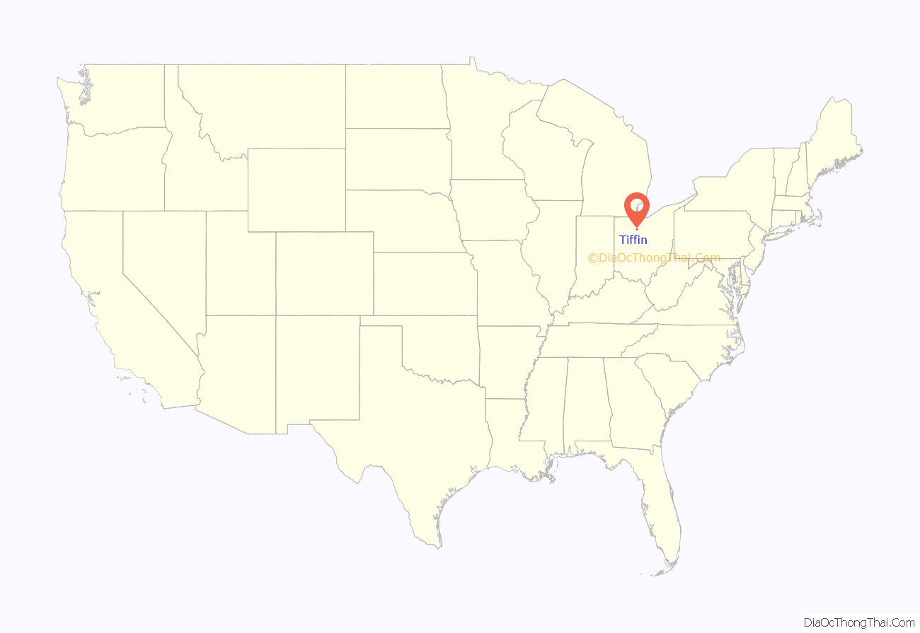
Tiffin location map. Where is Tiffin city?
History
The European-American settled history of Tiffin dates back to 1812. The familiar bronze statue of “The Indian Maiden” on Frost Parkway, near Miami Street, marks the site of Fort Ball, a military depot of the War of 1812. During a fighting engagement of that war, Erastus Bowe sighted the location where Tiffin later developed. In 1817, he returned to the site and built his Pan Yan Tavern, on the North Sandusky River. Its name was likely derived from Penn Yan, New York, the seat of Yates County in the Finger Lakes region and the origin for numerous migrants to Ohio.
Early homesteaders followed soon after Bowe, and the settlement of Oakley sprang up around the Pan Yan on the north side of the river. The chief road of the area followed the path of the stagecoaches through Oakley, which was called Fort Ball after 1824.
In 1821, Josiah Hedges purchased a piece of land on the south bank of the river opposite Oakley and founded another settlement. He named this village “Tiffin” in honor of Edward Tiffin, first governor of Ohio and later a member of the United States Senate. He had helped gain statehood for the Ohio Territory in 1803. Tiffin was incorporated by an act of the Ohio Legislature on March 7, 1835. These two communities, split by the Sandusky River, were rivals. In 1850, seeing that their interests lay together, the villages merged to form Tiffin, with Fort Ball becoming a part of Tiffin in March of that year.
In 1824, with the establishment of Seneca County by the Ohio Legislature, Tiffin was designated as the county seat. The county was named after the Seneca Indians, the westernmost of the Iroquois League of Six Nations, who dominated this territory for centuries. They were based in New York, from the Hudson River west along the southern edge of the Great Lakes into Pennsylvania. They had conquered the Ohio Valley during the Beaver Wars and preserved it as hunting grounds.
The discovery of natural gas in the vicinity in 1888 gave new momentum to the city’s industrial development. New enterprises located in Tiffin, making it a prosperous industrial city:
- The National Machinery Company moved from Cleveland to Tiffin in 1882.
- Webster Industries, Inc. moved from Chicago to Tiffin in 1906.
- Tiffin Glass Works operated here from 1889 to 1980.
- American Standard Companies (formerly Great Western Pottery), maker of ceramic kitchen and bath products, operated here from 1899 to 2007. It was the largest employer in the city.
- Clifford O. Hanson founded The Hanson Clutch and Machinery Company in Tiffin. It was acquired by Pettibone in 1966. Pettibone LLC, which today is an affiliate of The Heico Companies, renamed the business unit Tiffin Parts in 1997. Operating at the same site since the 1920s, the building on Miami Street is on the National Register of Historic Places.
In the spring of 1913, the Upper Mississippi and Ohio River valleys were ravaged by one of the most devastating floods in the region’s history. Among those communities which suffered the consequences of that flood was Tiffin, located on the Sandusky River in northwest Ohio. During that three-day period, Tiffin sustained more than $1,000,000 in property loss, 46 houses and 2 factories swept away, 10 factories damaged, 69 places of business heavily damaged, 6 bridges within the corporate limits destroyed, and 19 people died.
Ballreich’s Bros., a potato chip company, has operated in Tiffin since 1920. While the company’s retail market is Northern Ohio, its products have a reputation that extends beyond its local retail market; these are available for shipping anywhere via the company’s website. The company was acquired by a group of local investors in 2019.
Tiffin St. Paul’s United Methodist Church was the first church in the world to be lit by Edison’s light bulb, and the first public building in the United States to be wired for electricity.
Tiffin is home to a large population of German-Americans, descendants of immigrants largely from the mid-19th century. In 1970 Tiffin’s peak population was 21,896. Since the late 1970s and industrial restructuring, the city has lost industry, jobs and population. Many jobs have moved offshore.
Tiffin is the home of the historic Ritz Theatre, built in 1928 as a vaudeville house; it is in the Italian Renaissance style. The Ritz Theatre received extensive renovation and restoration in 1998.
On November 10, 2002, an F3 tornado hit southeast Tiffin, destroying several homes outside city limits.
A new Mercy Hospital of Tiffin was built and opened in July 2008.
In 2022, Tiffin City Council elected the city’s first female mayor, Dawn Iannantuono. Iannantuono is the 50th mayor of the City of Tiffin.
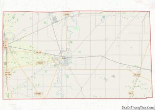
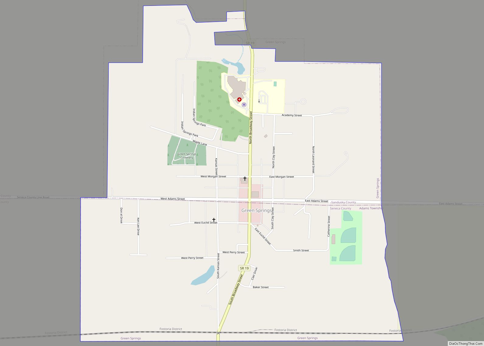
Tiffin Road Map
Tiffin city Satellite Map
Geography
According to the United States Census Bureau, the city has a total area of 6.90 square miles (17.87 km), of which 6.76 square miles (17.51 km) is land and 0.14 square miles (0.36 km) is water. The Sandusky River flows through the center of the city. It is located on U.S. Route 224.
Climate
See also
Map of Ohio State and its subdivision:- Adams
- Allen
- Ashland
- Ashtabula
- Athens
- Auglaize
- Belmont
- Brown
- Butler
- Carroll
- Champaign
- Clark
- Clermont
- Clinton
- Columbiana
- Coshocton
- Crawford
- Cuyahoga
- Darke
- Defiance
- Delaware
- Erie
- Fairfield
- Fayette
- Franklin
- Fulton
- Gallia
- Geauga
- Greene
- Guernsey
- Hamilton
- Hancock
- Hardin
- Harrison
- Henry
- Highland
- Hocking
- Holmes
- Huron
- Jackson
- Jefferson
- Knox
- Lake
- Lake Erie
- Lawrence
- Licking
- Logan
- Lorain
- Lucas
- Madison
- Mahoning
- Marion
- Medina
- Meigs
- Mercer
- Miami
- Monroe
- Montgomery
- Morgan
- Morrow
- Muskingum
- Noble
- Ottawa
- Paulding
- Perry
- Pickaway
- Pike
- Portage
- Preble
- Putnam
- Richland
- Ross
- Sandusky
- Scioto
- Seneca
- Shelby
- Stark
- Summit
- Trumbull
- Tuscarawas
- Union
- Van Wert
- Vinton
- Warren
- Washington
- Wayne
- Williams
- Wood
- Wyandot
- Alabama
- Alaska
- Arizona
- Arkansas
- California
- Colorado
- Connecticut
- Delaware
- District of Columbia
- Florida
- Georgia
- Hawaii
- Idaho
- Illinois
- Indiana
- Iowa
- Kansas
- Kentucky
- Louisiana
- Maine
- Maryland
- Massachusetts
- Michigan
- Minnesota
- Mississippi
- Missouri
- Montana
- Nebraska
- Nevada
- New Hampshire
- New Jersey
- New Mexico
- New York
- North Carolina
- North Dakota
- Ohio
- Oklahoma
- Oregon
- Pennsylvania
- Rhode Island
- South Carolina
- South Dakota
- Tennessee
- Texas
- Utah
- Vermont
- Virginia
- Washington
- West Virginia
- Wisconsin
- Wyoming
