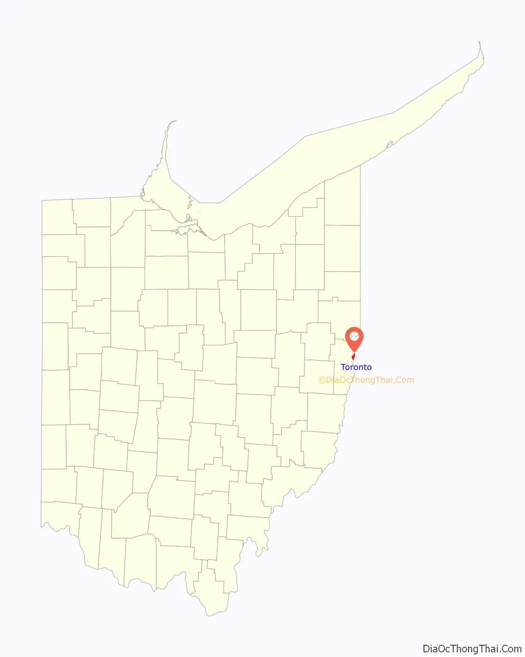
Toronto is a city in eastern Jefferson County, Ohio, located along the Ohio River 6 miles northeast of Steubenville. The population was 5,303 at the time of the 2020 census, making it the second-largest city in Jefferson County. It is part of the Weirton–Steubenville metropolitan area.
| Name: | Toronto city |
|---|---|
| LSAD Code: | 25 |
| LSAD Description: | city (suffix) |
| State: | Ohio |
| County: | Jefferson County |
| Elevation: | 702 ft (214 m) |
| Total Area: | 2.44 sq mi (6.33 km²) |
| Land Area: | 2.09 sq mi (5.40 km²) |
| Water Area: | 0.36 sq mi (0.93 km²) |
| Total Population: | 5,303 |
| Population Density: | 2,542.19/sq mi (981.58/km²) |
| ZIP code: | 43964 |
| Area code: | 740 |
| FIPS code: | 3977112 |
| GNISfeature ID: | 1061699 |
| Website: | https://torontocity.weebly.com/ |
Online Interactive Map
Click on ![]() to view map in "full screen" mode.
to view map in "full screen" mode.
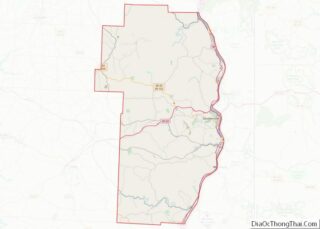
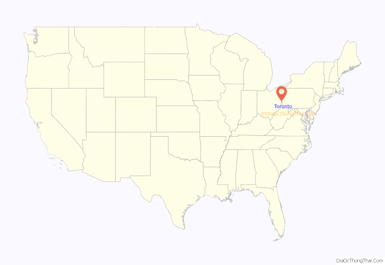
Toronto location map. Where is Toronto city?
History
The area was first settled in the 19th century, when it was known as Newburg’s Landing. When the railway was built, however, the area’s name was changed to Sloanes Station. In 1881, after a vote, the town was incorporated under its present name inspired by the Canadian city of the same name, which civic leader Thomas M. Daniels felt was a place worth emulating. Along with its Canadian counterpart, it is one of only two incorporated cities in the world named Toronto.
In the 20th century, the town became a center of heavy industry with a number of large factories in and around the town. In the 1980s and 1990s the city, along with the rest of the region, declined sharply as manufacturing jobs left. Titanium Metals Corporation, the world’s largest supplier of titanium metals, is the major employer in the city.
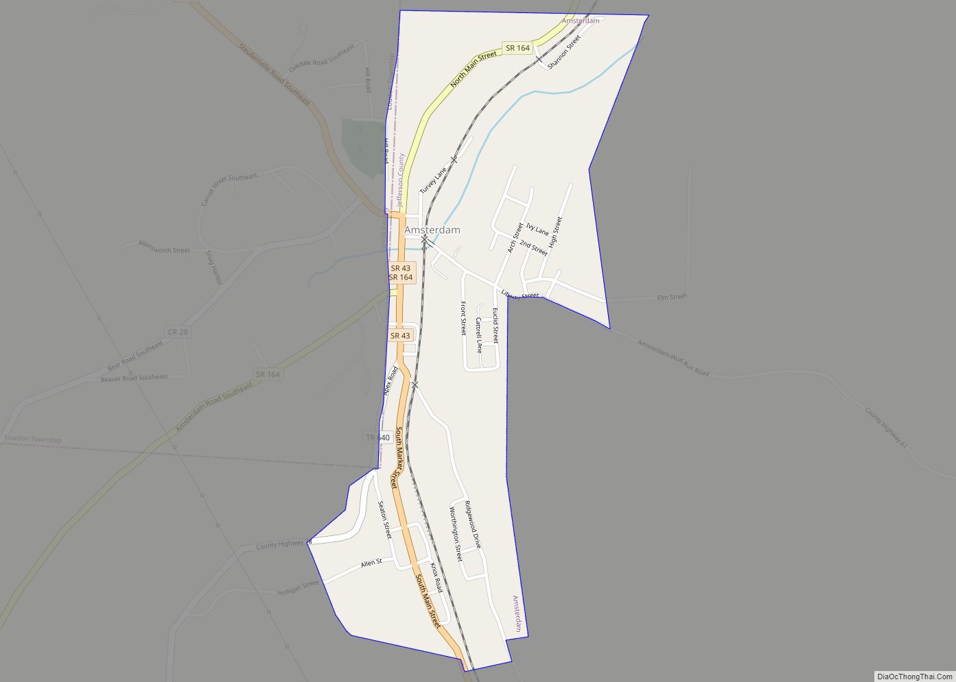
Toronto Road Map
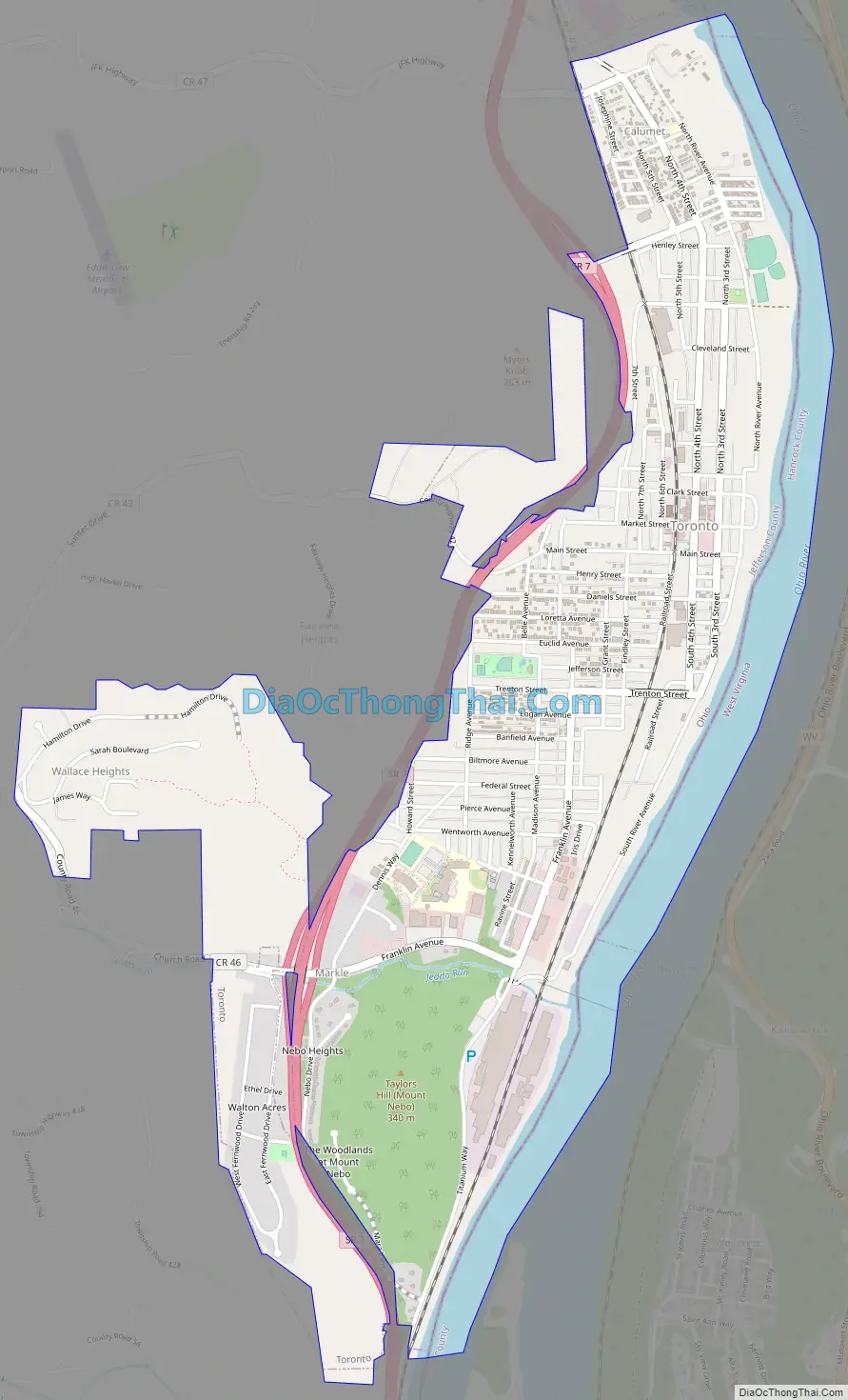
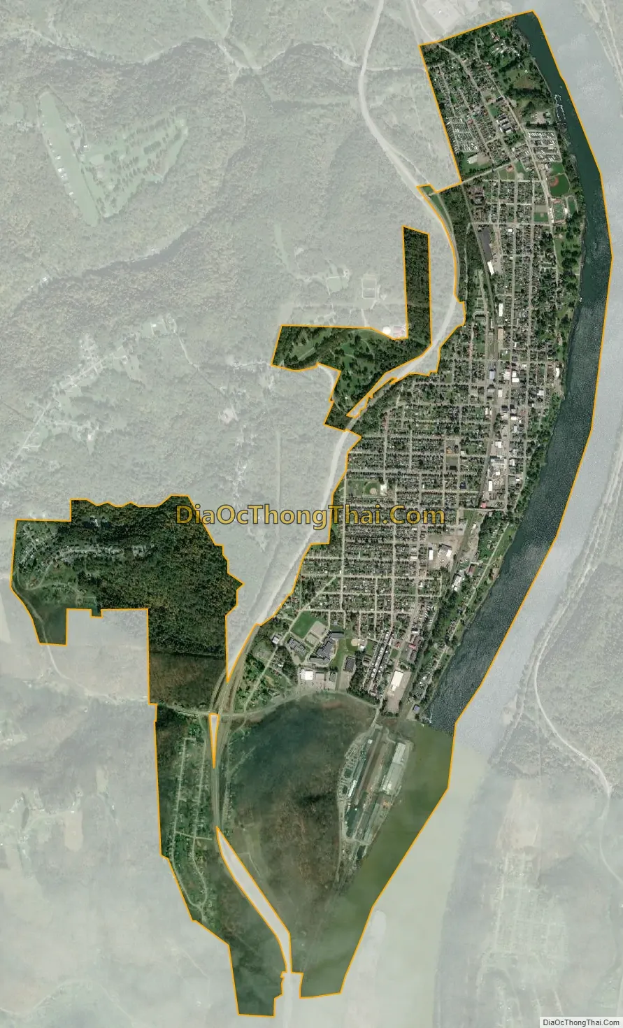
Toronto city Satellite Map
Geography
Toronto is located at 40°27′44″N 80°36′16″W / 40.46222°N 80.60444°W / 40.46222; -80.60444 (40.462266, -80.604443), and is about 45 minutes from Pittsburgh. According to the United States Census Bureau, the city has a total area of 2.14 square miles (5.54 km), of which 1.86 square miles (4.82 km) is land and 0.28 square miles (0.73 km) is water.
See also
Map of Ohio State and its subdivision:- Adams
- Allen
- Ashland
- Ashtabula
- Athens
- Auglaize
- Belmont
- Brown
- Butler
- Carroll
- Champaign
- Clark
- Clermont
- Clinton
- Columbiana
- Coshocton
- Crawford
- Cuyahoga
- Darke
- Defiance
- Delaware
- Erie
- Fairfield
- Fayette
- Franklin
- Fulton
- Gallia
- Geauga
- Greene
- Guernsey
- Hamilton
- Hancock
- Hardin
- Harrison
- Henry
- Highland
- Hocking
- Holmes
- Huron
- Jackson
- Jefferson
- Knox
- Lake
- Lake Erie
- Lawrence
- Licking
- Logan
- Lorain
- Lucas
- Madison
- Mahoning
- Marion
- Medina
- Meigs
- Mercer
- Miami
- Monroe
- Montgomery
- Morgan
- Morrow
- Muskingum
- Noble
- Ottawa
- Paulding
- Perry
- Pickaway
- Pike
- Portage
- Preble
- Putnam
- Richland
- Ross
- Sandusky
- Scioto
- Seneca
- Shelby
- Stark
- Summit
- Trumbull
- Tuscarawas
- Union
- Van Wert
- Vinton
- Warren
- Washington
- Wayne
- Williams
- Wood
- Wyandot
- Alabama
- Alaska
- Arizona
- Arkansas
- California
- Colorado
- Connecticut
- Delaware
- District of Columbia
- Florida
- Georgia
- Hawaii
- Idaho
- Illinois
- Indiana
- Iowa
- Kansas
- Kentucky
- Louisiana
- Maine
- Maryland
- Massachusetts
- Michigan
- Minnesota
- Mississippi
- Missouri
- Montana
- Nebraska
- Nevada
- New Hampshire
- New Jersey
- New Mexico
- New York
- North Carolina
- North Dakota
- Ohio
- Oklahoma
- Oregon
- Pennsylvania
- Rhode Island
- South Carolina
- South Dakota
- Tennessee
- Texas
- Utah
- Vermont
- Virginia
- Washington
- West Virginia
- Wisconsin
- Wyoming