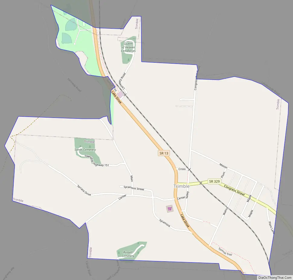
Trimble is a village in Trimble Township, Athens County, Ohio, United States. The population was 329 at the 2020 census.
| Name: | Trimble village |
|---|---|
| LSAD Code: | 47 |
| LSAD Description: | village (suffix) |
| State: | Ohio |
| County: | Athens County |
| Elevation: | 663 ft (202 m) |
| Total Area: | 0.69 sq mi (1.79 km²) |
| Land Area: | 0.68 sq mi (1.76 km²) |
| Water Area: | 0.01 sq mi (0.03 km²) |
| Total Population: | 329 |
| Population Density: | 483.82/sq mi (186.67/km²) |
| ZIP code: | 45782 |
| Area code: | 740 |
| FIPS code: | 3977406 |
| GNISfeature ID: | 1077072 |
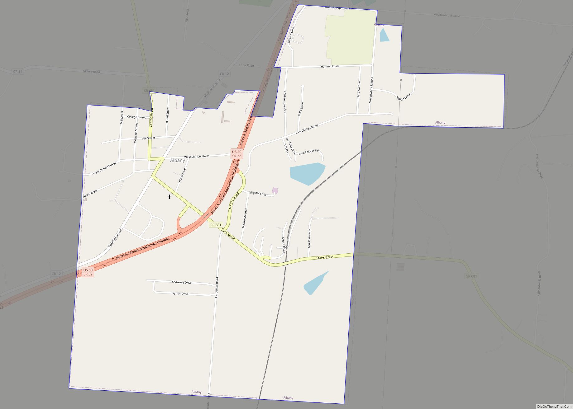
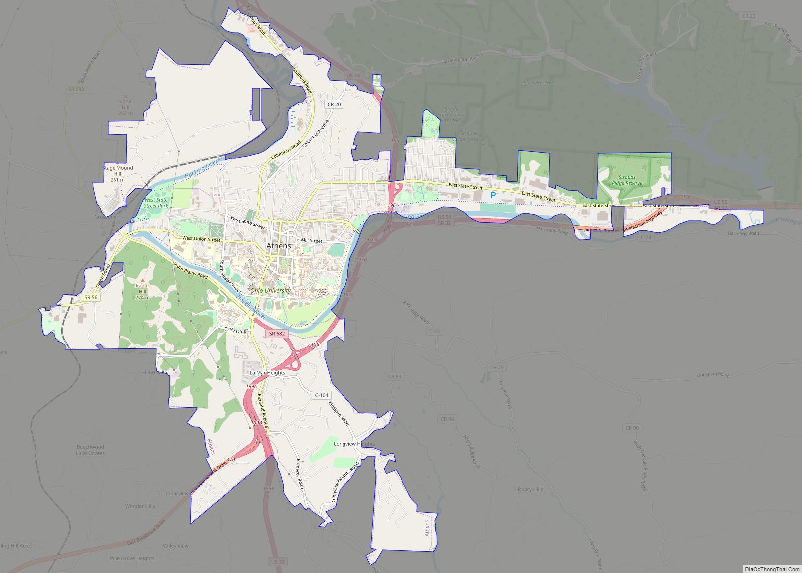
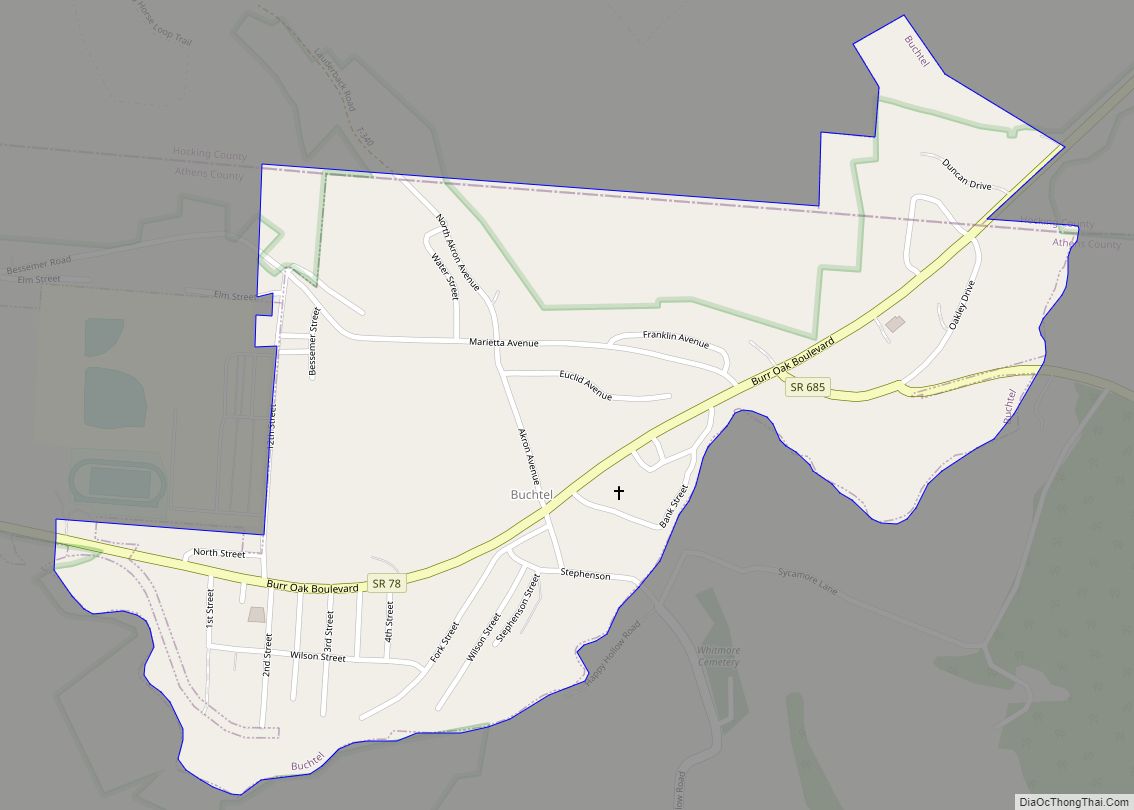
Online Interactive Map
Click on ![]() to view map in "full screen" mode.
to view map in "full screen" mode.
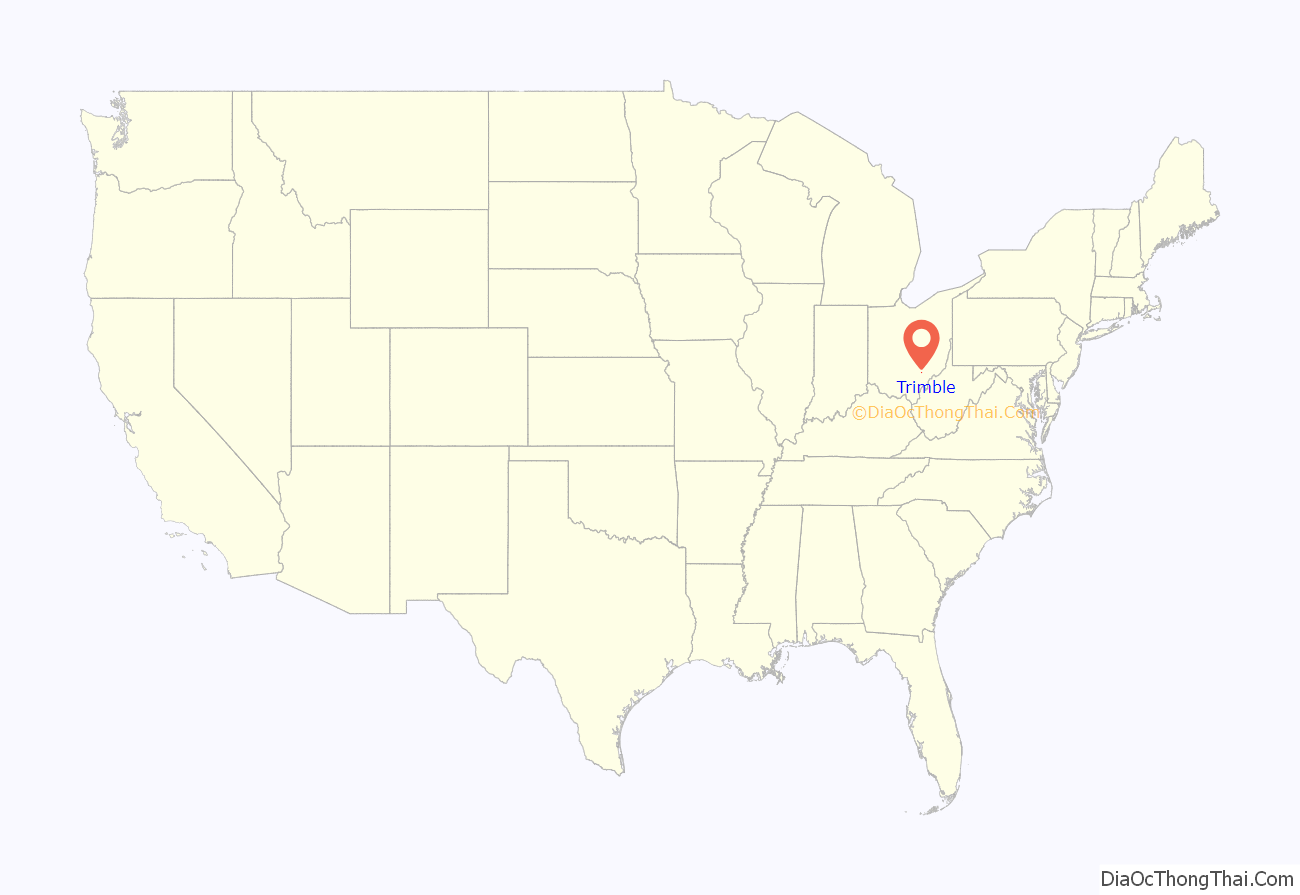
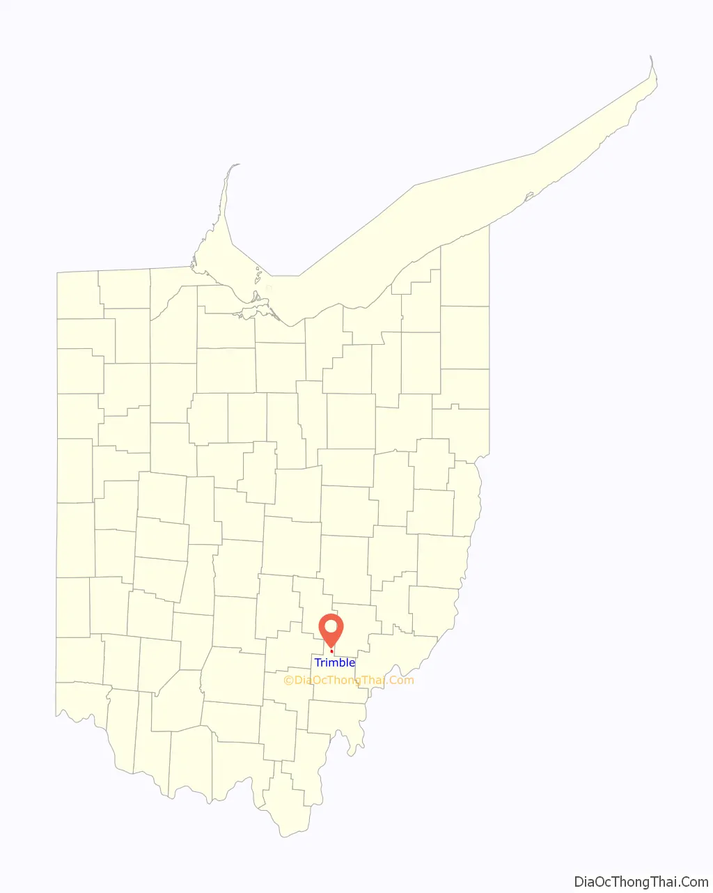
Trimble location map. Where is Trimble village?
History
Trimble village was originally called Oxford. A post office called Trimble has been in operation since 1839. The present name is derived from Allen Trimble, 8th & 10th Governor of Ohio.
Trimble Road Map
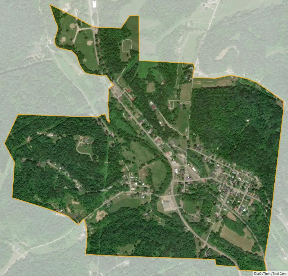
Trimble city Satellite Map
Geography
Trimble is located at 39°29′7″N 82°4′45″W / 39.48528°N 82.07917°W / 39.48528; -82.07917 (39.485312, -82.079094), along Sunday Creek.
According to the United States Census Bureau, the village has a total area of 0.67 square miles (1.74 km), of which 0.66 square miles (1.71 km) is land and 0.01 square miles (0.03 km) is water.
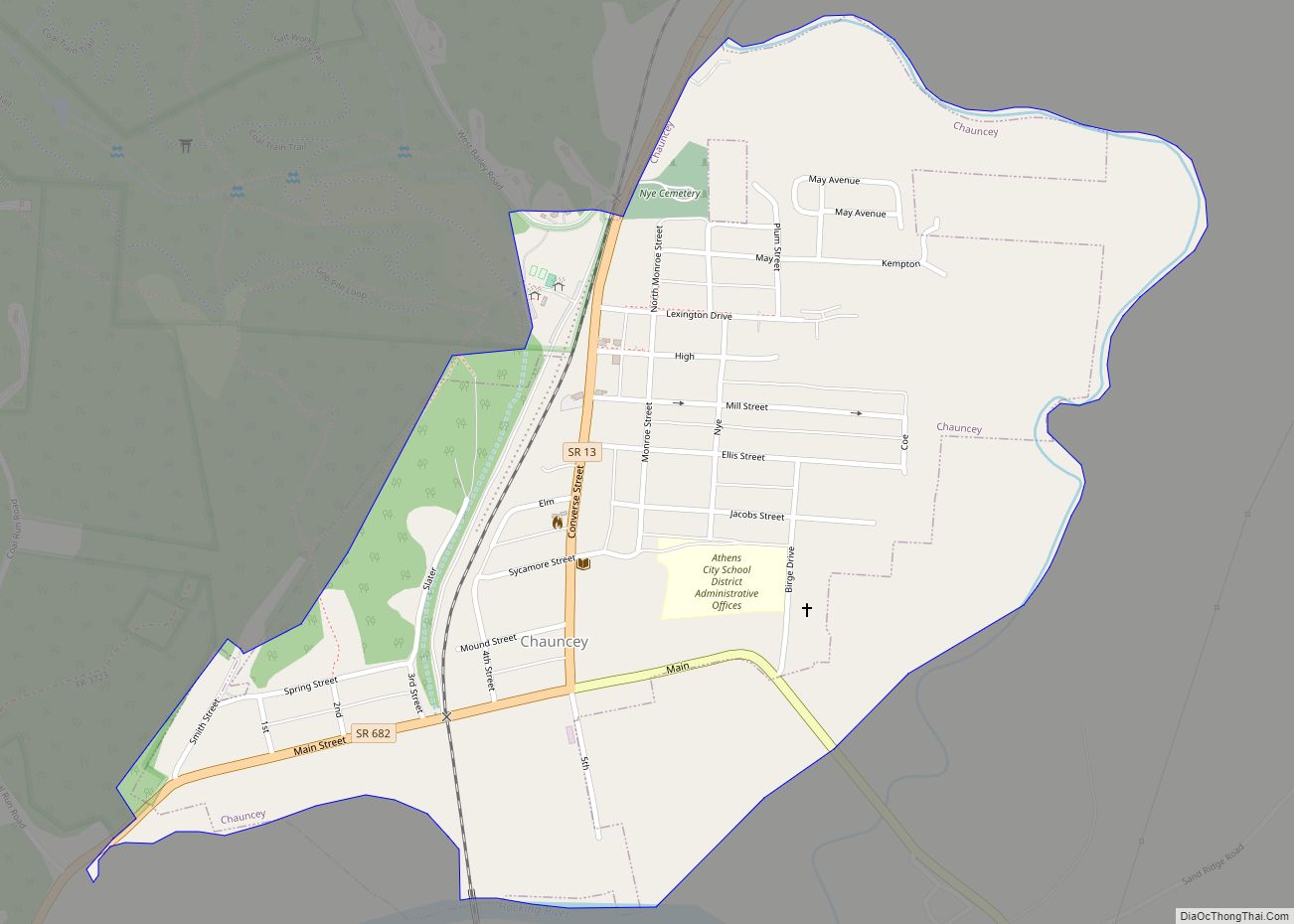
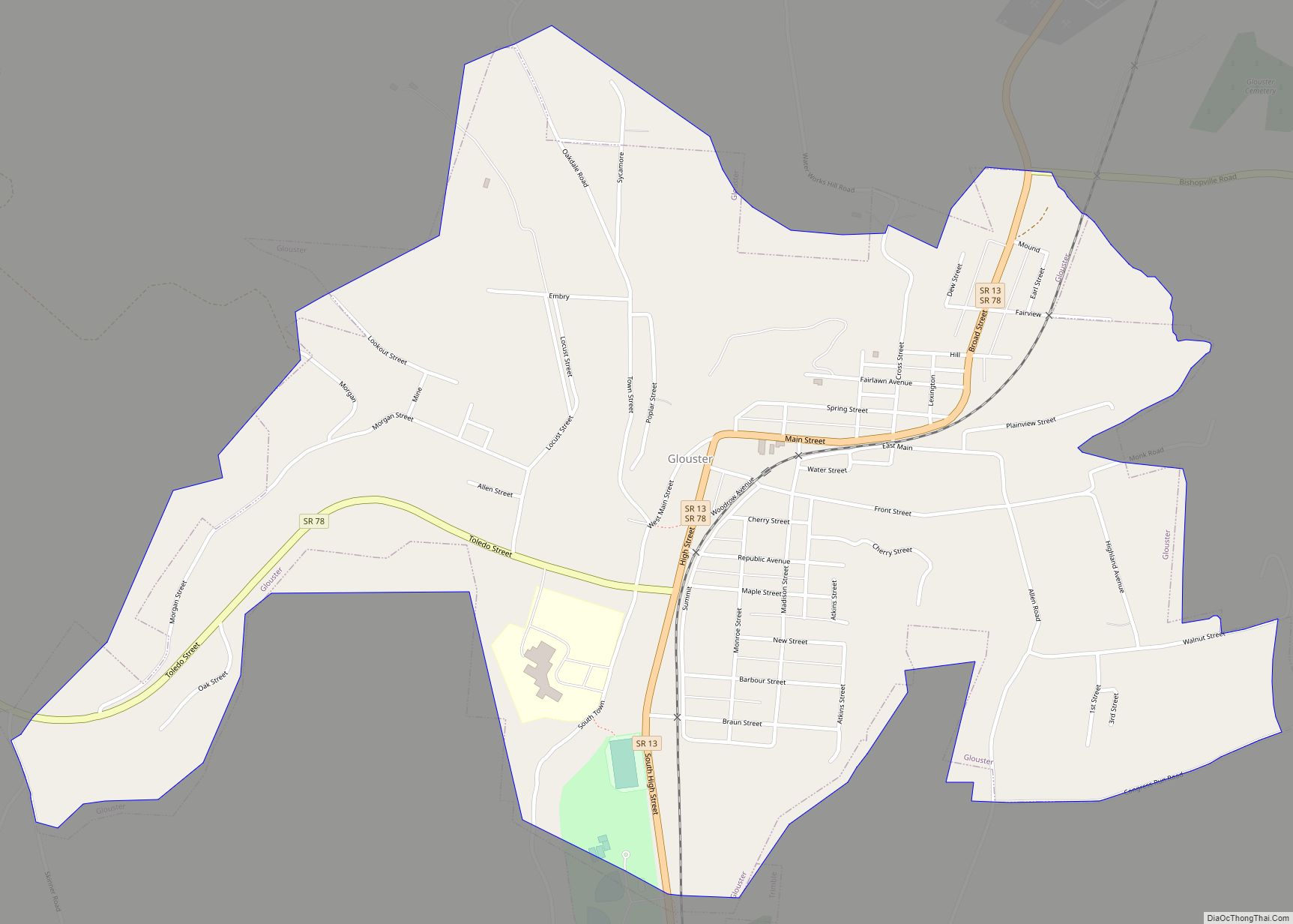
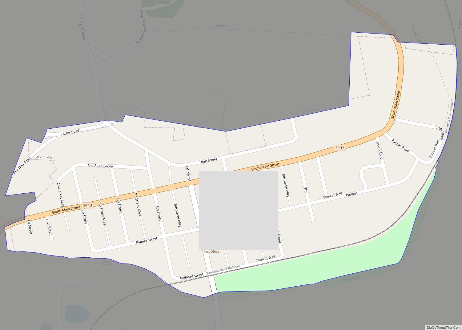
Trimble is one of three bordering incorporated villages in northern Athens County, all of which began as coal mining towns. Just north of Trimble is Glouster, and just south of Trimble is Jacksonville.
See also
Map of Ohio State and its subdivision:- Adams
- Allen
- Ashland
- Ashtabula
- Athens
- Auglaize
- Belmont
- Brown
- Butler
- Carroll
- Champaign
- Clark
- Clermont
- Clinton
- Columbiana
- Coshocton
- Crawford
- Cuyahoga
- Darke
- Defiance
- Delaware
- Erie
- Fairfield
- Fayette
- Franklin
- Fulton
- Gallia
- Geauga
- Greene
- Guernsey
- Hamilton
- Hancock
- Hardin
- Harrison
- Henry
- Highland
- Hocking
- Holmes
- Huron
- Jackson
- Jefferson
- Knox
- Lake
- Lake Erie
- Lawrence
- Licking
- Logan
- Lorain
- Lucas
- Madison
- Mahoning
- Marion
- Medina
- Meigs
- Mercer
- Miami
- Monroe
- Montgomery
- Morgan
- Morrow
- Muskingum
- Noble
- Ottawa
- Paulding
- Perry
- Pickaway
- Pike
- Portage
- Preble
- Putnam
- Richland
- Ross
- Sandusky
- Scioto
- Seneca
- Shelby
- Stark
- Summit
- Trumbull
- Tuscarawas
- Union
- Van Wert
- Vinton
- Warren
- Washington
- Wayne
- Williams
- Wood
- Wyandot
- Alabama
- Alaska
- Arizona
- Arkansas
- California
- Colorado
- Connecticut
- Delaware
- District of Columbia
- Florida
- Georgia
- Hawaii
- Idaho
- Illinois
- Indiana
- Iowa
- Kansas
- Kentucky
- Louisiana
- Maine
- Maryland
- Massachusetts
- Michigan
- Minnesota
- Mississippi
- Missouri
- Montana
- Nebraska
- Nevada
- New Hampshire
- New Jersey
- New Mexico
- New York
- North Carolina
- North Dakota
- Ohio
- Oklahoma
- Oregon
- Pennsylvania
- Rhode Island
- South Carolina
- South Dakota
- Tennessee
- Texas
- Utah
- Vermont
- Virginia
- Washington
- West Virginia
- Wisconsin
- Wyoming