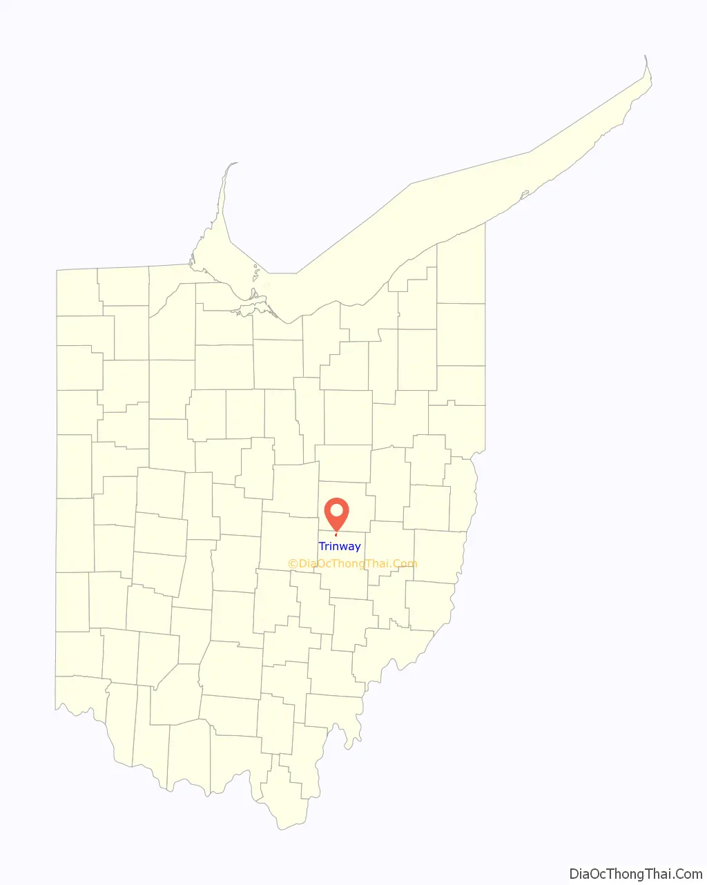
Trinway is an unincorporated community and census-designated place in northern Cass Township, Muskingum County, Ohio, United States, in the east-central part of the state. The village is 52 miles east of the state capital of Columbus and near the town of Dresden. Trinway is a rural community of mostly residential architecture.
| Name: | Trinway CDP |
|---|---|
| LSAD Code: | 57 |
| LSAD Description: | CDP (suffix) |
| State: | Ohio |
| County: | Muskingum County |
| Elevation: | 738 ft (225 m) |
| Total Area: | 0.28 sq mi (0.72 km²) |
| Land Area: | 0.28 sq mi (0.72 km²) |
| Water Area: | 0.00 sq mi (0.00 km²) |
| Total Population: | 358 |
| Population Density: | 1,278.57/sq mi (493.85/km²) |
| ZIP code: | 43842 |
| Area code: | 740 |
| FIPS code: | 3977434 |
| GNISfeature ID: | 1061707 |
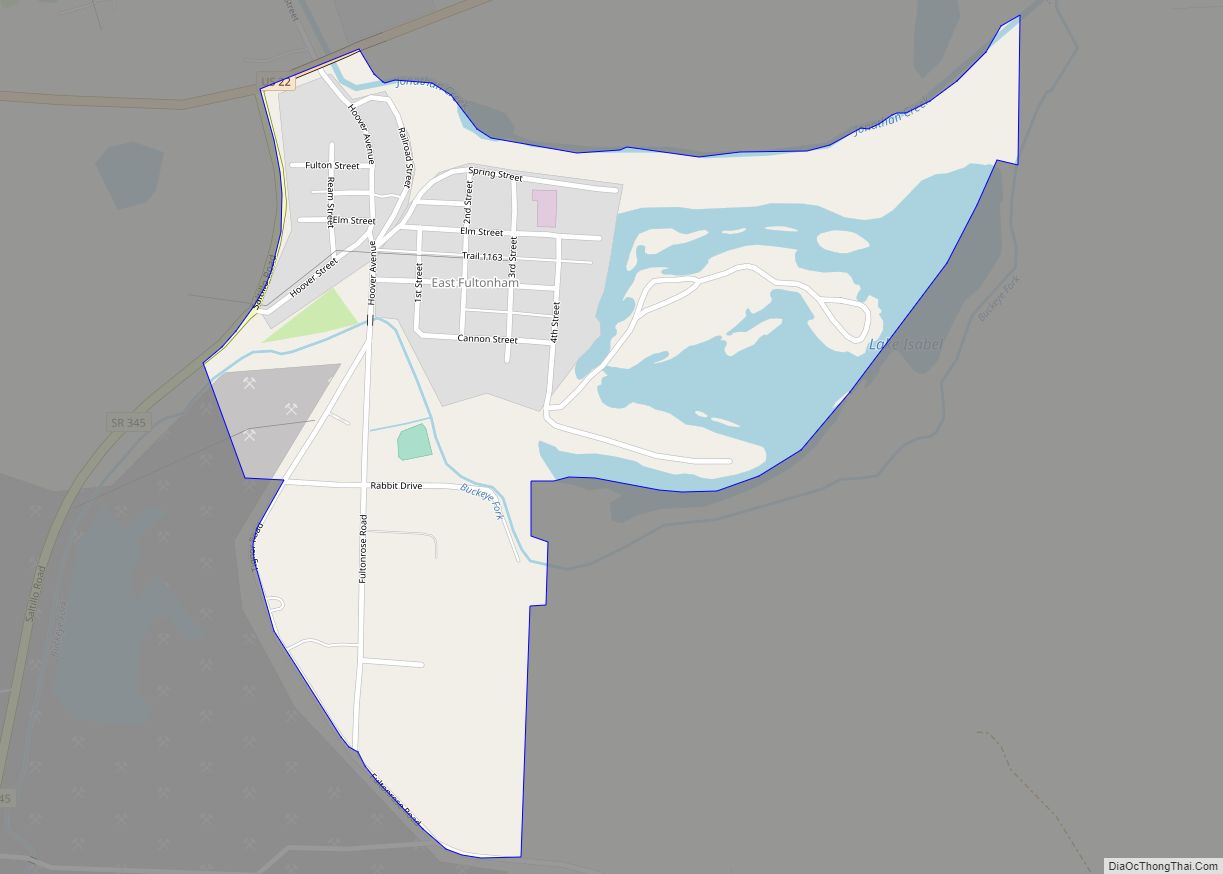
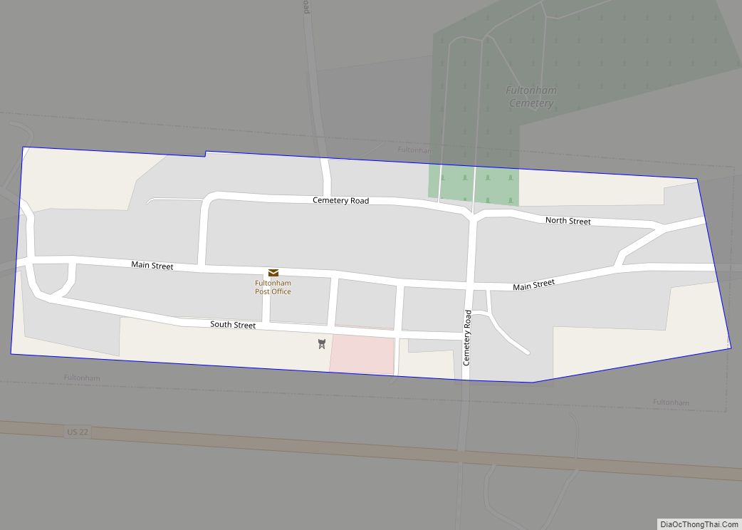
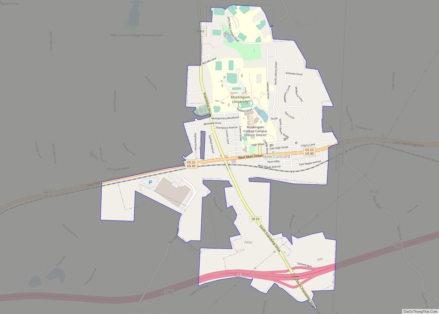
Online Interactive Map
Click on ![]() to view map in "full screen" mode.
to view map in "full screen" mode.
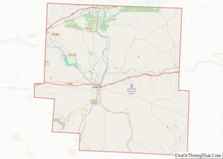
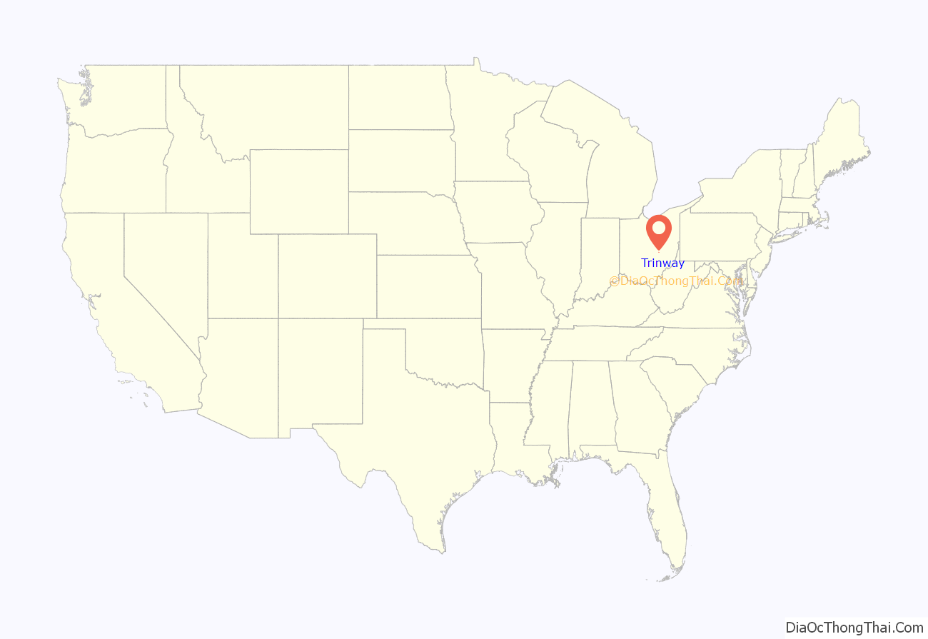
Trinway location map. Where is Trinway CDP?
History
The community was originally known as “Dresden Junction”, as it was the point where the Cincinnati and Muskingum Valley Railroad met the Stuebenville and Indiana Railroad (which later became part of the Pittsburgh, Cincinnati, Chicago and St. Louis Railroad). It was also the site of the first railroad station for the nearby village of Dresden.
Historic structures
There are several buildings of special historic interest in Trinway, including:
- The old Trinway School (1878)
- The Trinway Methodist Church (1868)
- The Cochran House (1862)
- The Prospect Place Mansion (1856)
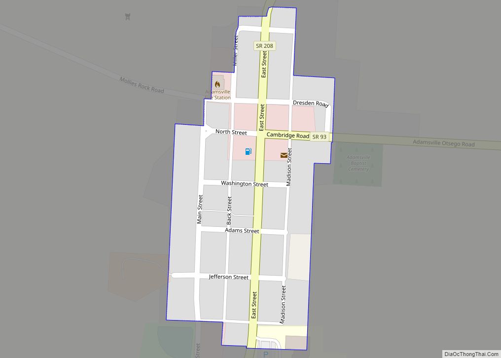
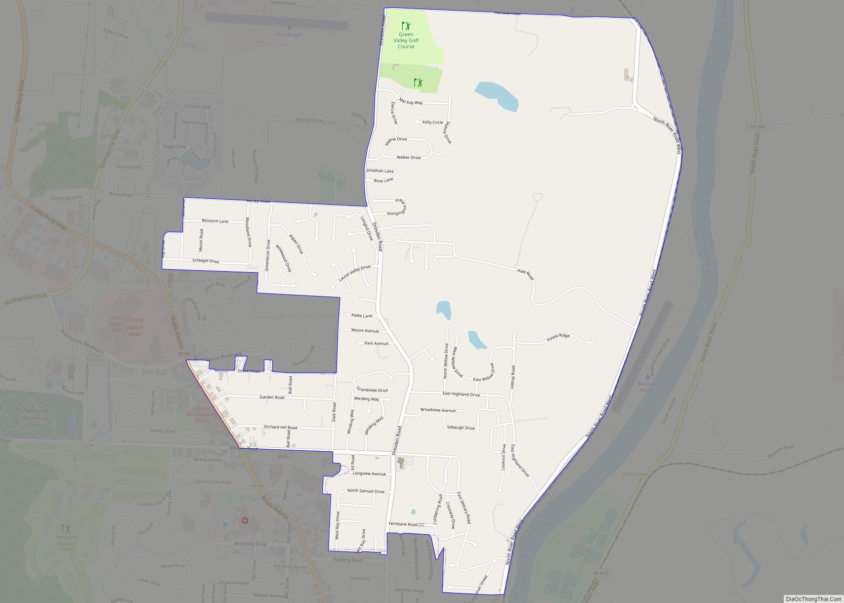
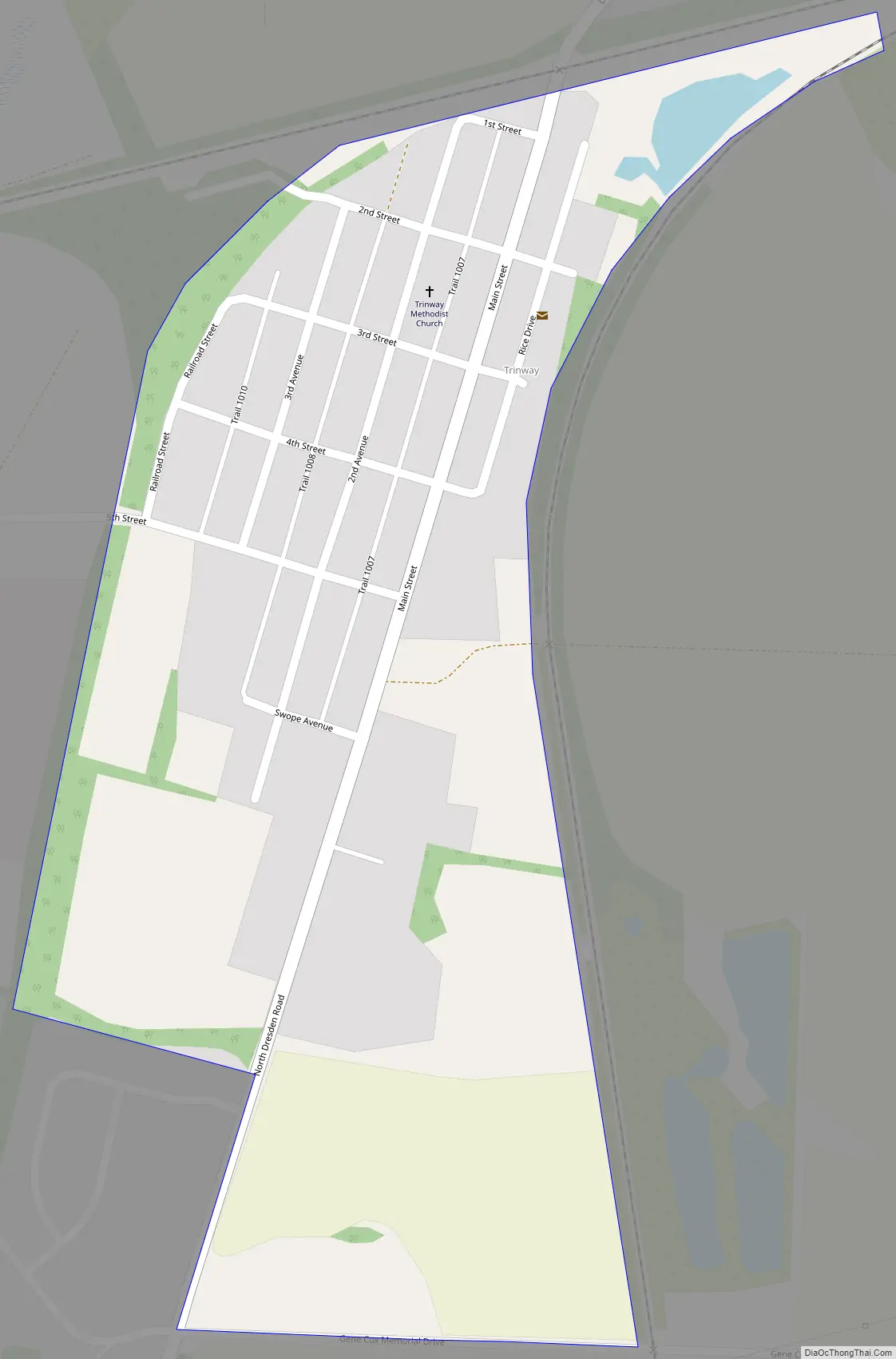
Trinway Road Map
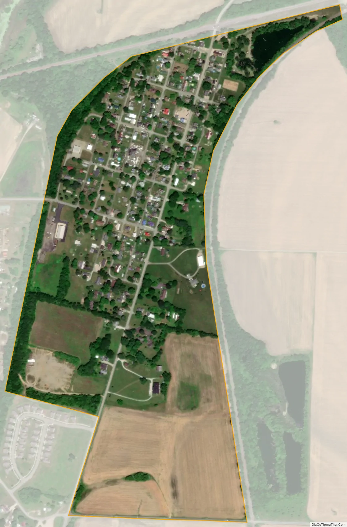
Trinway city Satellite Map
See also
Map of Ohio State and its subdivision:- Adams
- Allen
- Ashland
- Ashtabula
- Athens
- Auglaize
- Belmont
- Brown
- Butler
- Carroll
- Champaign
- Clark
- Clermont
- Clinton
- Columbiana
- Coshocton
- Crawford
- Cuyahoga
- Darke
- Defiance
- Delaware
- Erie
- Fairfield
- Fayette
- Franklin
- Fulton
- Gallia
- Geauga
- Greene
- Guernsey
- Hamilton
- Hancock
- Hardin
- Harrison
- Henry
- Highland
- Hocking
- Holmes
- Huron
- Jackson
- Jefferson
- Knox
- Lake
- Lake Erie
- Lawrence
- Licking
- Logan
- Lorain
- Lucas
- Madison
- Mahoning
- Marion
- Medina
- Meigs
- Mercer
- Miami
- Monroe
- Montgomery
- Morgan
- Morrow
- Muskingum
- Noble
- Ottawa
- Paulding
- Perry
- Pickaway
- Pike
- Portage
- Preble
- Putnam
- Richland
- Ross
- Sandusky
- Scioto
- Seneca
- Shelby
- Stark
- Summit
- Trumbull
- Tuscarawas
- Union
- Van Wert
- Vinton
- Warren
- Washington
- Wayne
- Williams
- Wood
- Wyandot
- Alabama
- Alaska
- Arizona
- Arkansas
- California
- Colorado
- Connecticut
- Delaware
- District of Columbia
- Florida
- Georgia
- Hawaii
- Idaho
- Illinois
- Indiana
- Iowa
- Kansas
- Kentucky
- Louisiana
- Maine
- Maryland
- Massachusetts
- Michigan
- Minnesota
- Mississippi
- Missouri
- Montana
- Nebraska
- Nevada
- New Hampshire
- New Jersey
- New Mexico
- New York
- North Carolina
- North Dakota
- Ohio
- Oklahoma
- Oregon
- Pennsylvania
- Rhode Island
- South Carolina
- South Dakota
- Tennessee
- Texas
- Utah
- Vermont
- Virginia
- Washington
- West Virginia
- Wisconsin
- Wyoming