Utica is a village in Knox and Licking counties in the U.S. state of Ohio, along the North Fork of the Licking River. The population was 2,132 at the 2010 census.
The village is home to the general headquarters (HQ) of the Velvet Ice Cream Company at the Ye Olde Mill just south of the village. The mill is a popular regional tourist attraction with an ice cream parlor and restaurant and wildlife and picnic areas. The village hosts the annual ice cream parade every Memorial Day weekend and the simultaneous Utica Ice Cream Festival.
| Name: | Utica village |
|---|---|
| LSAD Code: | 47 |
| LSAD Description: | village (suffix) |
| State: | Ohio |
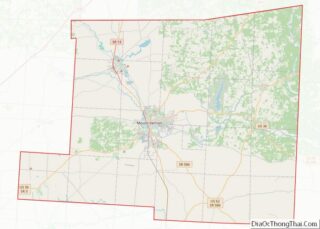
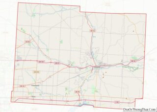
| County: | Knox County, Licking County |
| Elevation: | 958 ft (292 m) |
| Total Area: | 1.76 sq mi (4.55 km²) |
| Land Area: | 1.75 sq mi (4.52 km²) |
| Water Area: | 0.01 sq mi (0.03 km²) |
| Total Population: | 2,064 |
| Population Density: | 1,182.81/sq mi (456.58/km²) |
| ZIP code: | 43080 |
| Area code: | 740 |
| FIPS code: | 3979114 |
| GNISfeature ID: | 1065417 |
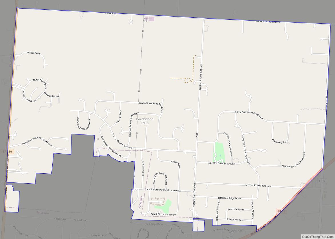
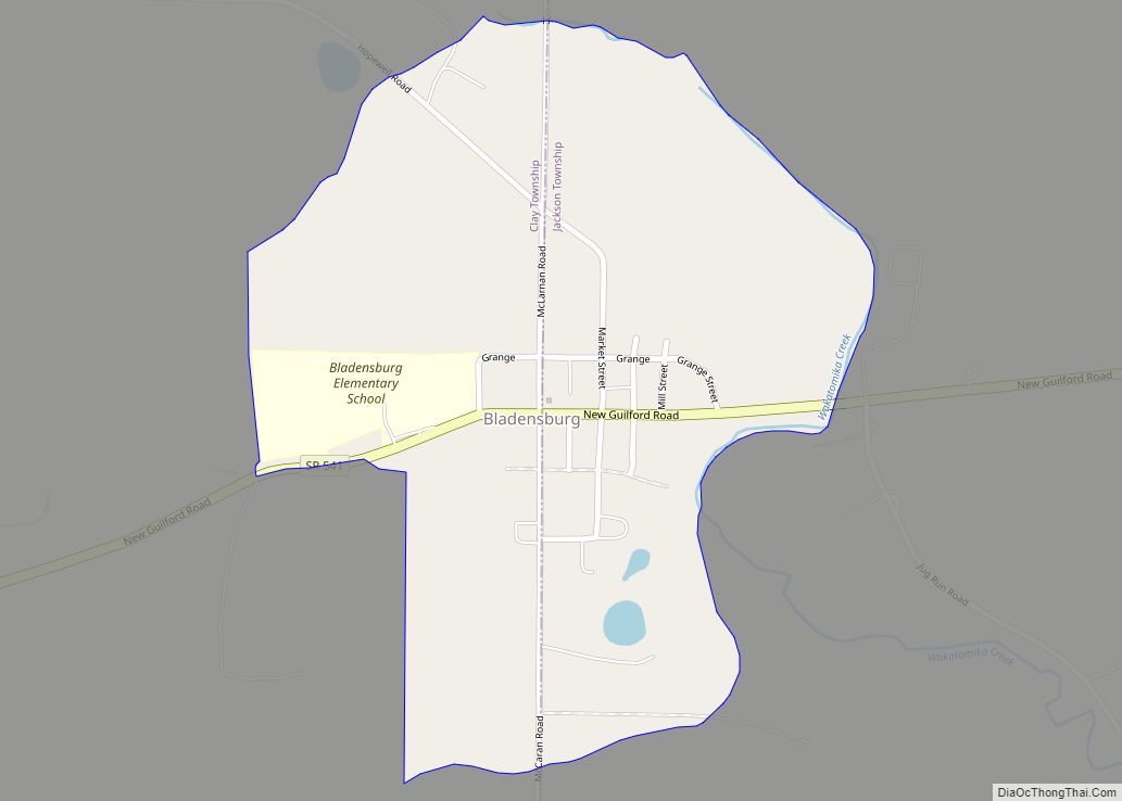
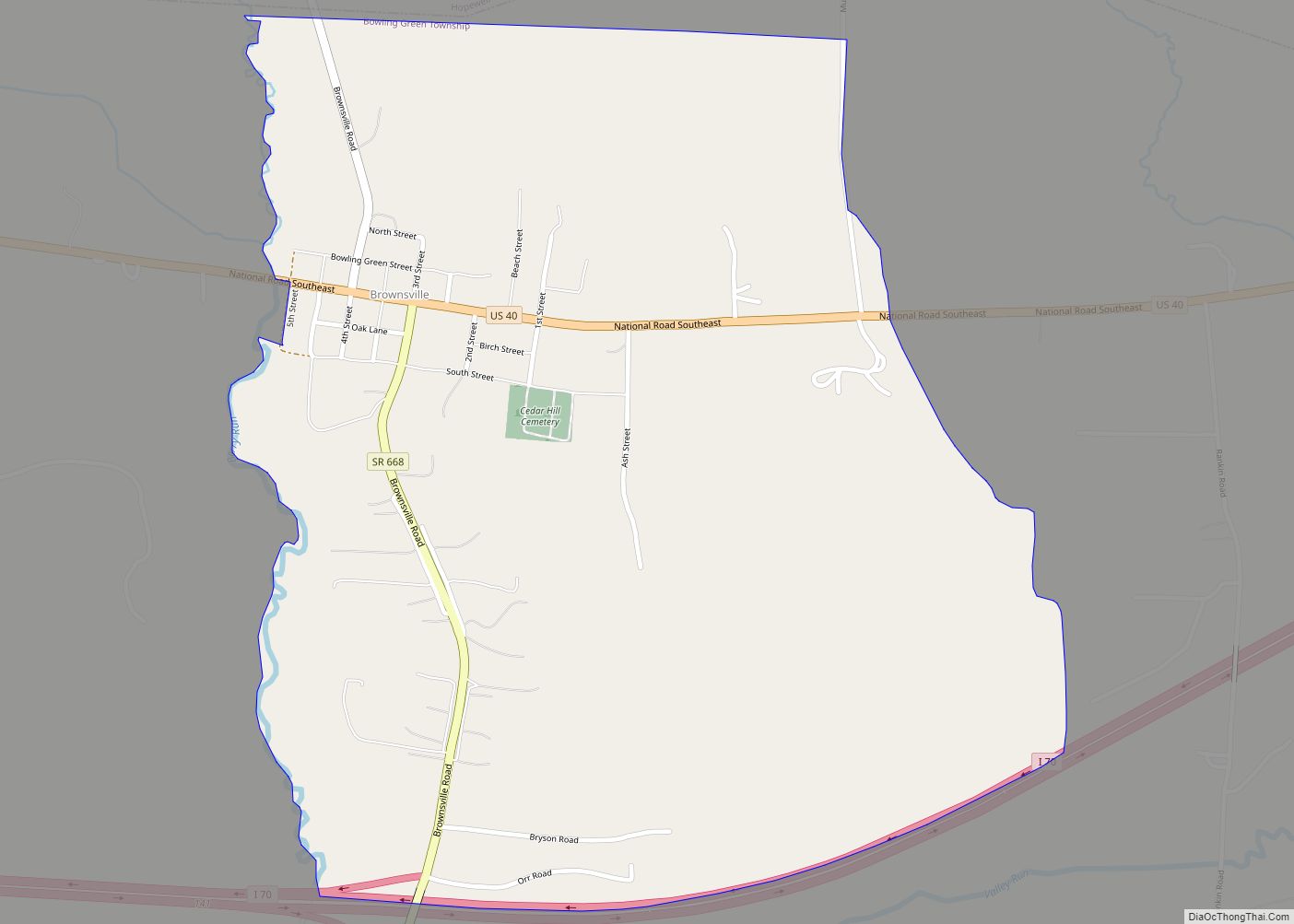
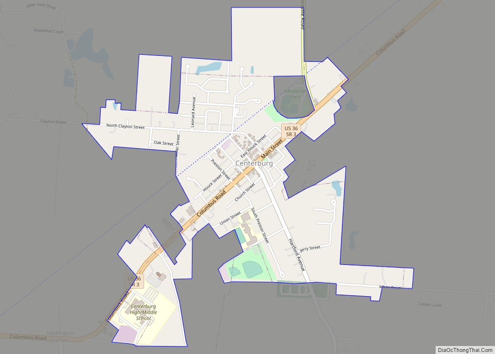
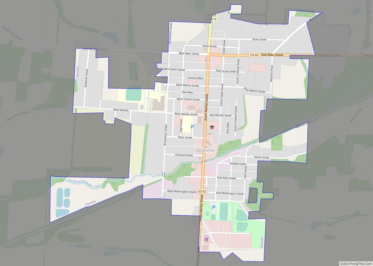
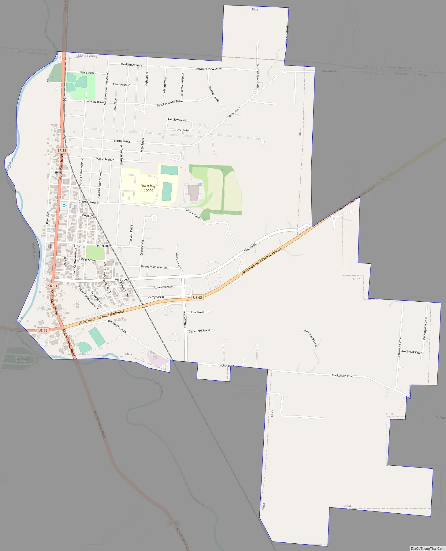
Online Interactive Map
Click on ![]() to view map in "full screen" mode.
to view map in "full screen" mode.
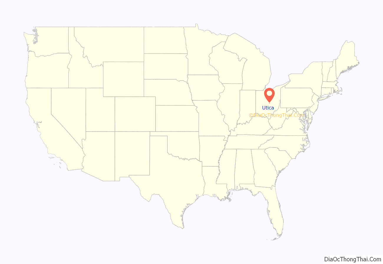
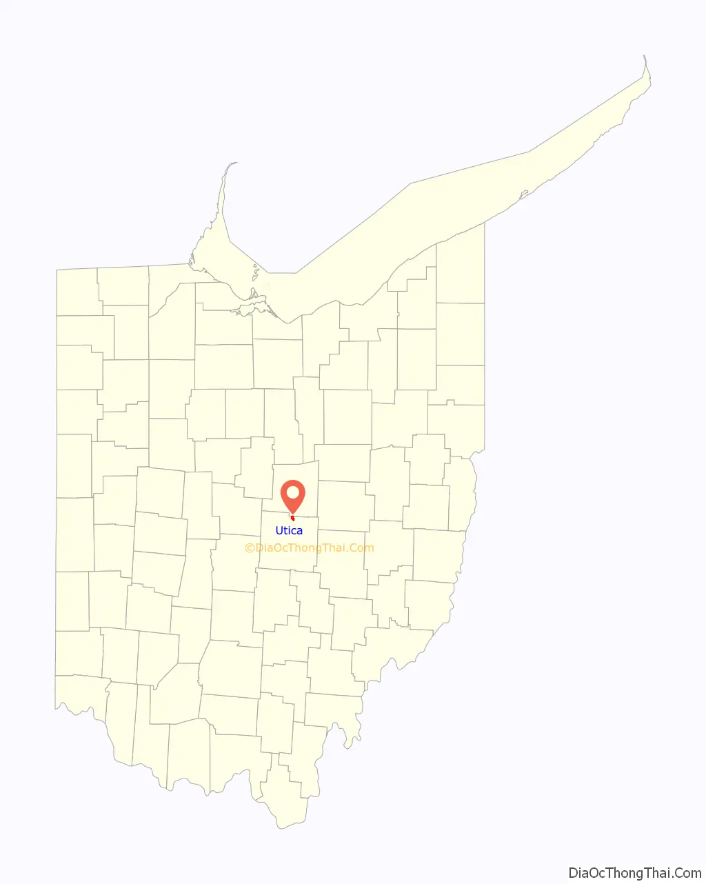
Utica location map. Where is Utica village?
History
Utica was platted in 1815. The village was named after Utica, New York.
Utica was the largest hand blown window glass factory city in the US at the turn of the 20th century due to natural occurring silica and natural gas. The glass would be gathered in a molten ball and blown into a long tube. The ends would be cut off, the tube re-heated, cut, and laid flat creating the window glass. The glass companies closed with the 1929 crash and development of new glass.
Prior to the Civil War, Utica was an important stop on the Underground Railroad. However, some local residents and a village historian claim that Utica was later a sundown town and recall Ku Klux Klan activity in the area in the 1920s.
Utica Road Map
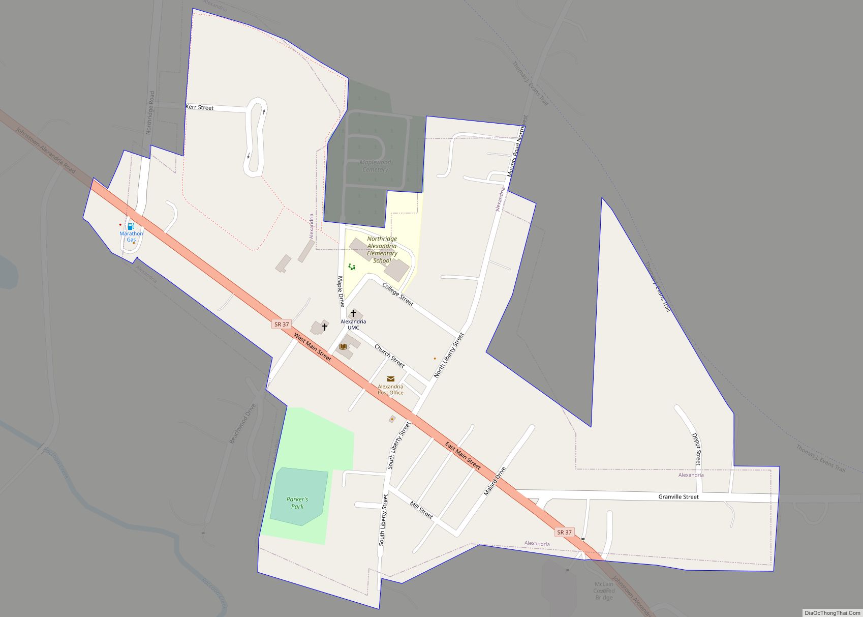
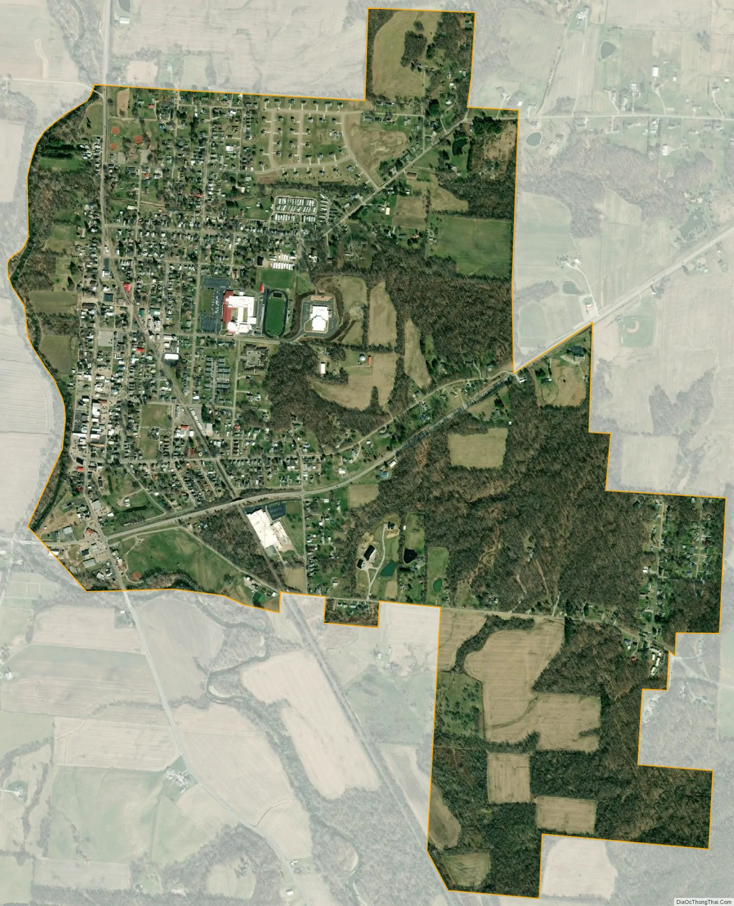
Utica city Satellite Map
Geography
Utica is located at 40°14′15″N 82°26′48″W / 40.23750°N 82.44667°W / 40.23750; -82.44667 (40.237493, -82.446797).
According to the United States Census Bureau, the village has a total area of 1.71 square miles (4.43 km), of which 1.69 square miles (4.38 km) is land and 0.02 square miles (0.05 km) is water.
See also
Map of Ohio State and its subdivision:- Adams
- Allen
- Ashland
- Ashtabula
- Athens
- Auglaize
- Belmont
- Brown
- Butler
- Carroll
- Champaign
- Clark
- Clermont
- Clinton
- Columbiana
- Coshocton
- Crawford
- Cuyahoga
- Darke
- Defiance
- Delaware
- Erie
- Fairfield
- Fayette
- Franklin
- Fulton
- Gallia
- Geauga
- Greene
- Guernsey
- Hamilton
- Hancock
- Hardin
- Harrison
- Henry
- Highland
- Hocking
- Holmes
- Huron
- Jackson
- Jefferson
- Knox
- Lake
- Lake Erie
- Lawrence
- Licking
- Logan
- Lorain
- Lucas
- Madison
- Mahoning
- Marion
- Medina
- Meigs
- Mercer
- Miami
- Monroe
- Montgomery
- Morgan
- Morrow
- Muskingum
- Noble
- Ottawa
- Paulding
- Perry
- Pickaway
- Pike
- Portage
- Preble
- Putnam
- Richland
- Ross
- Sandusky
- Scioto
- Seneca
- Shelby
- Stark
- Summit
- Trumbull
- Tuscarawas
- Union
- Van Wert
- Vinton
- Warren
- Washington
- Wayne
- Williams
- Wood
- Wyandot
- Alabama
- Alaska
- Arizona
- Arkansas
- California
- Colorado
- Connecticut
- Delaware
- District of Columbia
- Florida
- Georgia
- Hawaii
- Idaho
- Illinois
- Indiana
- Iowa
- Kansas
- Kentucky
- Louisiana
- Maine
- Maryland
- Massachusetts
- Michigan
- Minnesota
- Mississippi
- Missouri
- Montana
- Nebraska
- Nevada
- New Hampshire
- New Jersey
- New Mexico
- New York
- North Carolina
- North Dakota
- Ohio
- Oklahoma
- Oregon
- Pennsylvania
- Rhode Island
- South Carolina
- South Dakota
- Tennessee
- Texas
- Utah
- Vermont
- Virginia
- Washington
- West Virginia
- Wisconsin
- Wyoming