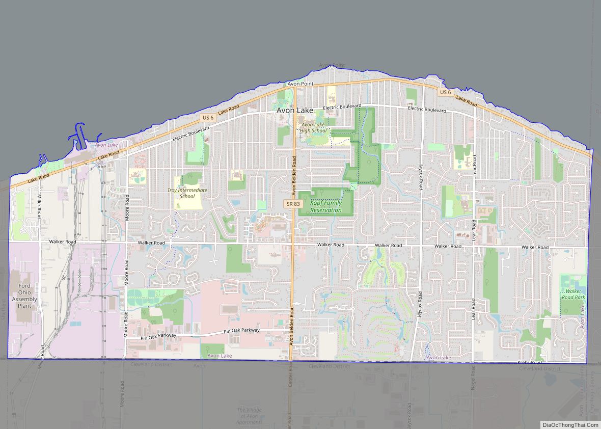
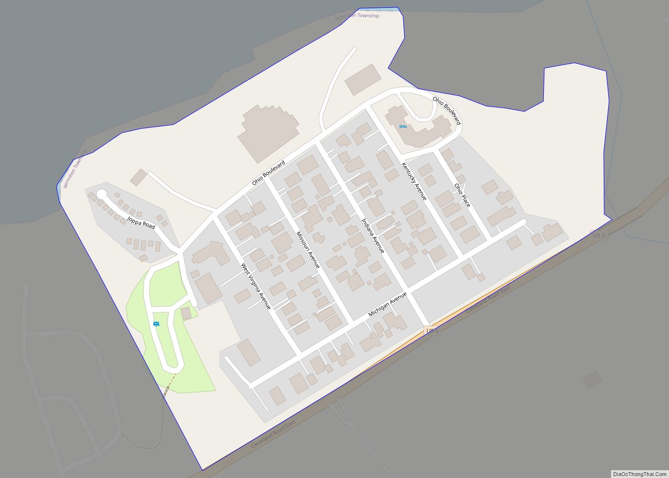
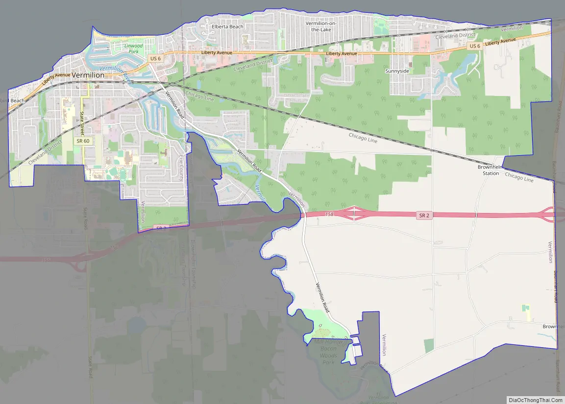
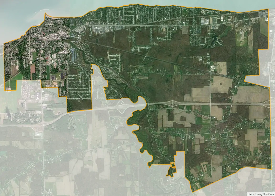
Vermilion is a city in Erie and Lorain Counties in the U.S. state of Ohio, on Lake Erie. Its population was 10,659 at the 2020 census. Located about 35 miles west of Cleveland and 17 miles east of Sandusky, it is part of the Cleveland metropolitan area and Sandusky micropolitan area.
| Name: | Vermilion city |
|---|---|
| LSAD Code: | 25 |
| LSAD Description: | city (suffix) |
| State: | Ohio |
| County: | Erie County, Lorain County |
| Elevation: | 594 ft (181 m) |
| Total Area: | 10.76 sq mi (27.88 km²) |
| Land Area: | 10.60 sq mi (27.46 km²) |
| Water Area: | 0.16 sq mi (0.42 km²) |
| Total Population: | 10,659 |
| Population Density: | 1,005.38/sq mi (388.19/km²) |
| ZIP code: | 44089 |
| Area code: | 440 |
| FIPS code: | 3979716 |
| GNISfeature ID: | 1049274 |
| Website: | www.vermilion.net |
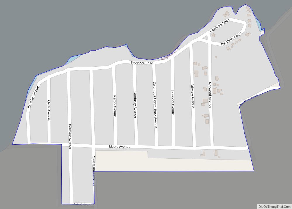
Online Interactive Map
Click on ![]() to view map in "full screen" mode.
to view map in "full screen" mode.
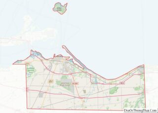
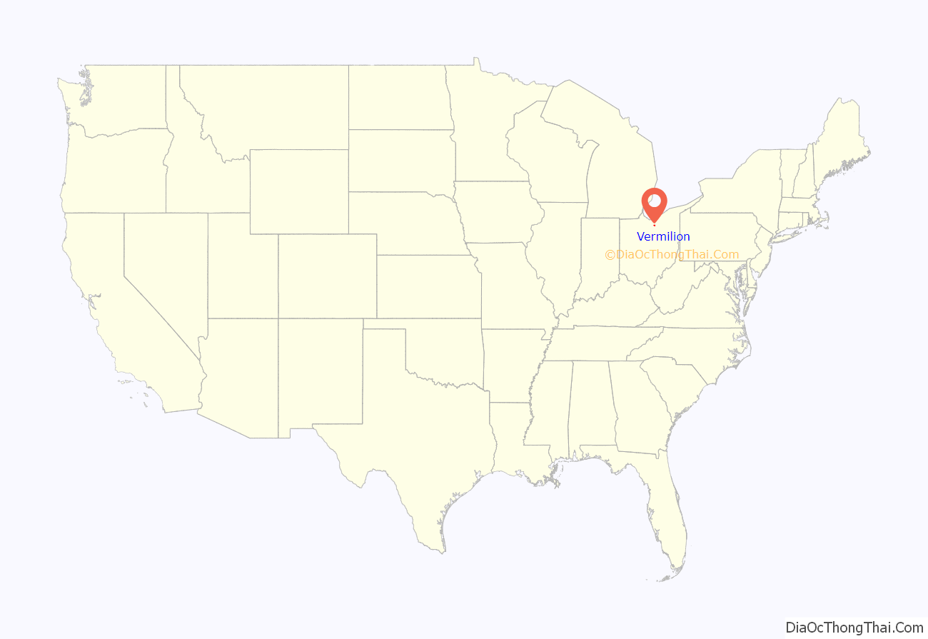
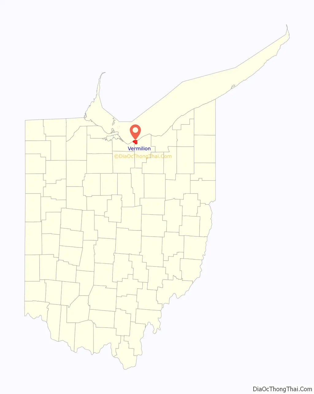
Vermilion location map. Where is Vermilion city?
History
Vermilion was initially settled in the early 19th century and incorporated as a village in 1837. The city took its name from the nearby Vermilion River. It developed as a fishing and small-boat harbor. In 1847, the Congress of the United States built the Vermilion Lighthouse to aid navigation on Lake Erie.
As commerce grew in larger nearby cities, the Vermilion River proved inadequate to large commercial traffic. Later, recreational boating became very popular. During the early 20th century, the area became known as a resort community, featuring many beaches and cottages. Most structures were eventually converted to year-round use; many still are used as summer homes or vacation houses. Linwood Park in Vermilion is a good example.
Merging with the nearby village of Vermilion-on-the-Lake in 1960, Vermilion became a city, straddling Lorain and Erie Counties.
A local nonprofit group, Friends of Harbour Town, actively promotes tourism and the historical connection to Vermilion’s roots as a maritime community, using the slogan “Harbour Town 1837”.
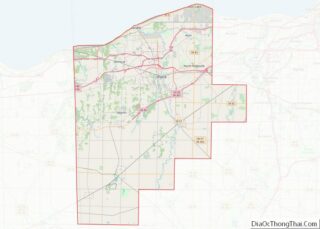
Vermilion Road Map
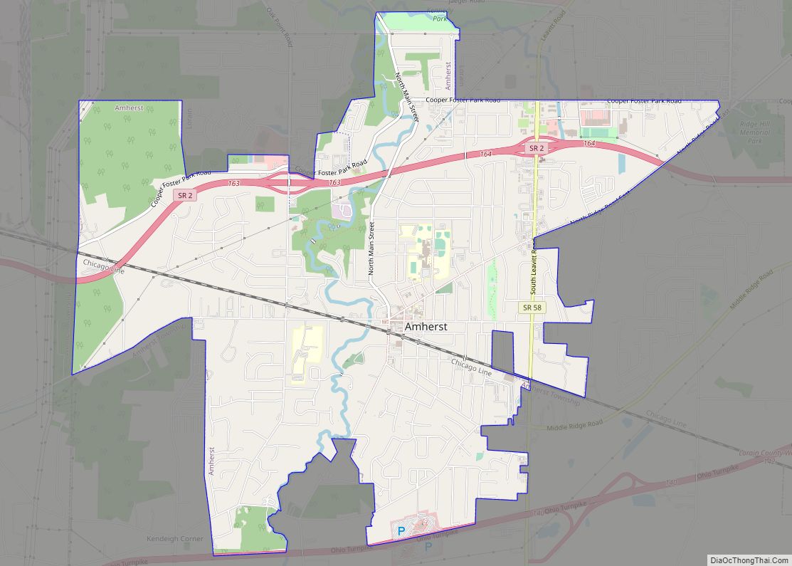
Vermilion city Satellite Map
Geography
According to the United States Census Bureau, the city has a total area of 10.8 sq mi (28.0 km), of which 0.15 sq mi (0.4 km), or 1.53%, is covered by water.
See also
Map of Ohio State and its subdivision:- Adams
- Allen
- Ashland
- Ashtabula
- Athens
- Auglaize
- Belmont
- Brown
- Butler
- Carroll
- Champaign
- Clark
- Clermont
- Clinton
- Columbiana
- Coshocton
- Crawford
- Cuyahoga
- Darke
- Defiance
- Delaware
- Erie
- Fairfield
- Fayette
- Franklin
- Fulton
- Gallia
- Geauga
- Greene
- Guernsey
- Hamilton
- Hancock
- Hardin
- Harrison
- Henry
- Highland
- Hocking
- Holmes
- Huron
- Jackson
- Jefferson
- Knox
- Lake
- Lake Erie
- Lawrence
- Licking
- Logan
- Lorain
- Lucas
- Madison
- Mahoning
- Marion
- Medina
- Meigs
- Mercer
- Miami
- Monroe
- Montgomery
- Morgan
- Morrow
- Muskingum
- Noble
- Ottawa
- Paulding
- Perry
- Pickaway
- Pike
- Portage
- Preble
- Putnam
- Richland
- Ross
- Sandusky
- Scioto
- Seneca
- Shelby
- Stark
- Summit
- Trumbull
- Tuscarawas
- Union
- Van Wert
- Vinton
- Warren
- Washington
- Wayne
- Williams
- Wood
- Wyandot
- Alabama
- Alaska
- Arizona
- Arkansas
- California
- Colorado
- Connecticut
- Delaware
- District of Columbia
- Florida
- Georgia
- Hawaii
- Idaho
- Illinois
- Indiana
- Iowa
- Kansas
- Kentucky
- Louisiana
- Maine
- Maryland
- Massachusetts
- Michigan
- Minnesota
- Mississippi
- Missouri
- Montana
- Nebraska
- Nevada
- New Hampshire
- New Jersey
- New Mexico
- New York
- North Carolina
- North Dakota
- Ohio
- Oklahoma
- Oregon
- Pennsylvania
- Rhode Island
- South Carolina
- South Dakota
- Tennessee
- Texas
- Utah
- Vermont
- Virginia
- Washington
- West Virginia
- Wisconsin
- Wyoming