Westlake is a city in Cuyahoga County, Ohio, United States. It is a suburb of Cleveland located 12 miles west of downtown Cleveland. The population was 34,228 at the 2020 census.
| Name: | Westlake city |
|---|---|
| LSAD Code: | 25 |
| LSAD Description: | city (suffix) |
| State: | Ohio |
| County: | Cuyahoga County |
| Elevation: | 709 ft (216 m) |
| Total Area: | 15.94 sq mi (41.28 km²) |
| Land Area: | 15.93 sq mi (41.27 km²) |
| Water Area: | 0.00 sq mi (0.01 km²) 0% |
| Total Population: | 34,228 |
| Population Density: | 2,148.25/sq mi (829.44/km²) |
| ZIP code: | 44145 |
| Area code: | 440 |
| FIPS code: | 3983622 |
| GNISfeature ID: | 1061762 |
| Website: | www.cityofwestlake.org |
Online Interactive Map
Click on ![]() to view map in "full screen" mode.
to view map in "full screen" mode.
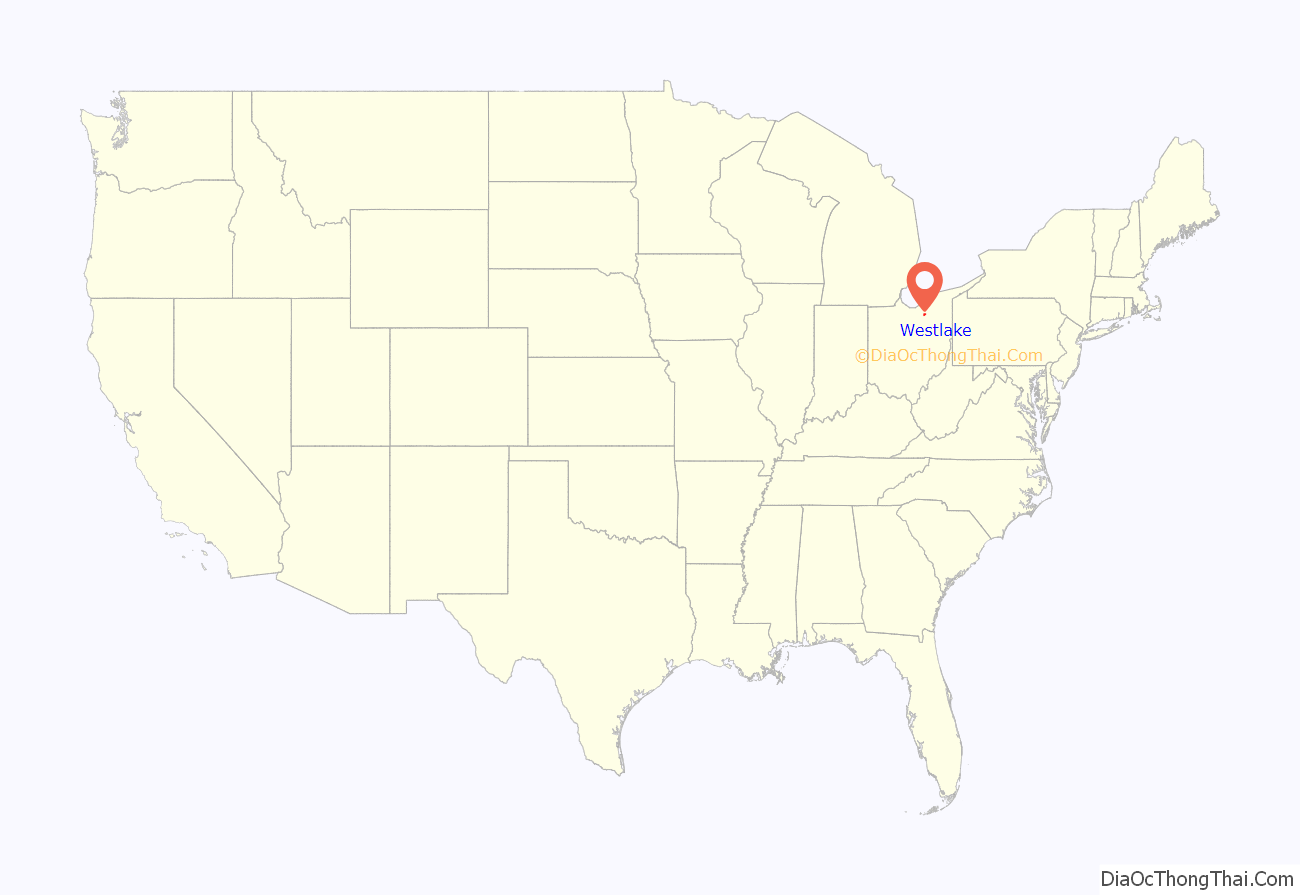
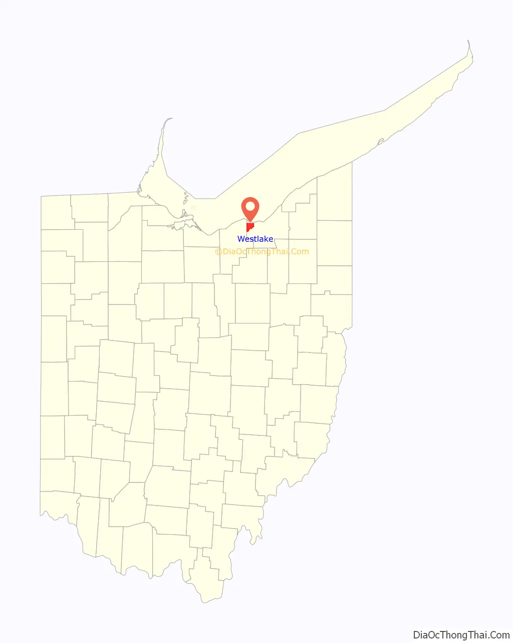
Westlake location map. Where is Westlake city?
History
The area now known as the city of Westlake was first settled on October 10, 1810. At the time, it was part of Dover Township.
In 1901, the northern part of the township seceded to form Bay Village. In 1912, a southern portion left to join North Olmsted. The remaining township residents formed Dover Village in 1913, taking with it a portion of Olmsted Township.
In order to avoid confusion with the city of Dover in Tuscarawas County, Dover Village was renamed Westlake in 1940. The village of Westlake became a city in 1957.
In September 1966, a house in Westlake which had recently been bought by John R. Compton, a black pastor, was firebombed. No one was injured, although the bombing did cause around $10,000 of damage. According to the Cleveland Press, the mayor of Westlake, Alexander R. Roman, “criticized the parties involved in the sale of the home… He said no one was notified so the community could be prepared to accept a Negro family.”
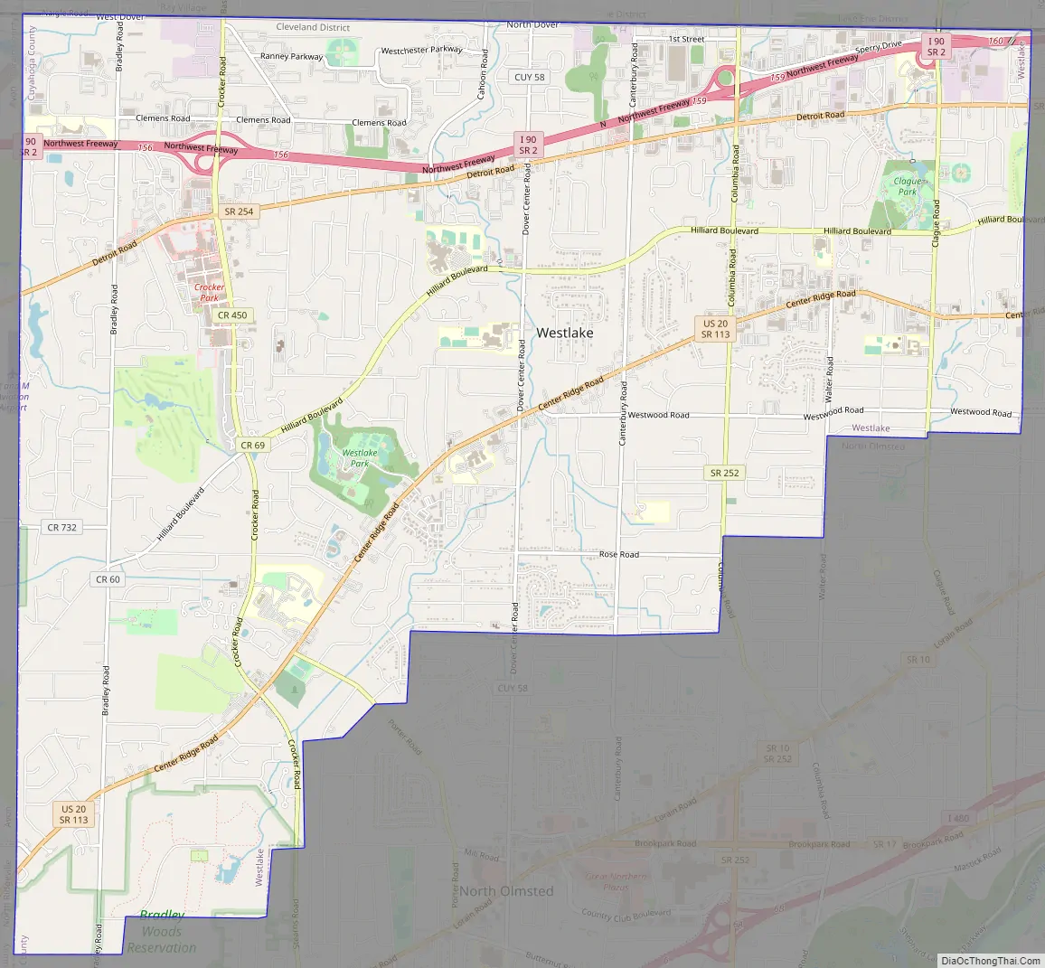
Westlake Road Map
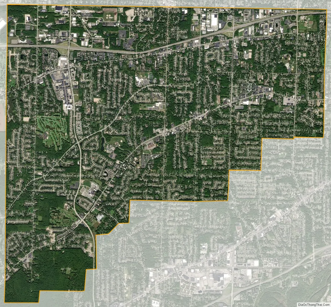
Westlake city Satellite Map
Geography
Westlake is located at 41°27′16″N 81°55′43″W / 41.45444°N 81.92861°W / 41.45444; -81.92861 (41.454439, −81.928657).
According to the United States Census Bureau, the city has a total area of 15.93 square miles (41.26 km), all land.
See also
Map of Ohio State and its subdivision:- Adams
- Allen
- Ashland
- Ashtabula
- Athens
- Auglaize
- Belmont
- Brown
- Butler
- Carroll
- Champaign
- Clark
- Clermont
- Clinton
- Columbiana
- Coshocton
- Crawford
- Cuyahoga
- Darke
- Defiance
- Delaware
- Erie
- Fairfield
- Fayette
- Franklin
- Fulton
- Gallia
- Geauga
- Greene
- Guernsey
- Hamilton
- Hancock
- Hardin
- Harrison
- Henry
- Highland
- Hocking
- Holmes
- Huron
- Jackson
- Jefferson
- Knox
- Lake
- Lake Erie
- Lawrence
- Licking
- Logan
- Lorain
- Lucas
- Madison
- Mahoning
- Marion
- Medina
- Meigs
- Mercer
- Miami
- Monroe
- Montgomery
- Morgan
- Morrow
- Muskingum
- Noble
- Ottawa
- Paulding
- Perry
- Pickaway
- Pike
- Portage
- Preble
- Putnam
- Richland
- Ross
- Sandusky
- Scioto
- Seneca
- Shelby
- Stark
- Summit
- Trumbull
- Tuscarawas
- Union
- Van Wert
- Vinton
- Warren
- Washington
- Wayne
- Williams
- Wood
- Wyandot
- Alabama
- Alaska
- Arizona
- Arkansas
- California
- Colorado
- Connecticut
- Delaware
- District of Columbia
- Florida
- Georgia
- Hawaii
- Idaho
- Illinois
- Indiana
- Iowa
- Kansas
- Kentucky
- Louisiana
- Maine
- Maryland
- Massachusetts
- Michigan
- Minnesota
- Mississippi
- Missouri
- Montana
- Nebraska
- Nevada
- New Hampshire
- New Jersey
- New Mexico
- New York
- North Carolina
- North Dakota
- Ohio
- Oklahoma
- Oregon
- Pennsylvania
- Rhode Island
- South Carolina
- South Dakota
- Tennessee
- Texas
- Utah
- Vermont
- Virginia
- Washington
- West Virginia
- Wisconsin
- Wyoming


