Dover is a city in Tuscarawas County, Ohio, United States, along the Tuscarawas River. The population was 13,112 at the 2020 census. It is a principal city of the New Philadelphia–Dover micropolitan area, approximately 68 miles (109 km) south of Cleveland.
| Name: | Dover city |
|---|---|
| LSAD Code: | 25 |
| LSAD Description: | city (suffix) |
| State: | Ohio |
| County: | Tuscarawas County |
| Elevation: | 879 ft (268 m) |
| Total Area: | 5.90 sq mi (15.28 km²) |
| Land Area: | 5.79 sq mi (15.01 km²) |
| Water Area: | 0.10 sq mi (0.27 km²) |
| Total Population: | 13,112 |
| Population Density: | 2,263.03/sq mi (873.75/km²) |
| ZIP code: | 44622 |
| Area code: | 330 |
| FIPS code: | 3922456 |
| GNISfeature ID: | 1039763 |
| Website: | http://www.doverohio.com/ |
Online Interactive Map
Click on ![]() to view map in "full screen" mode.
to view map in "full screen" mode.
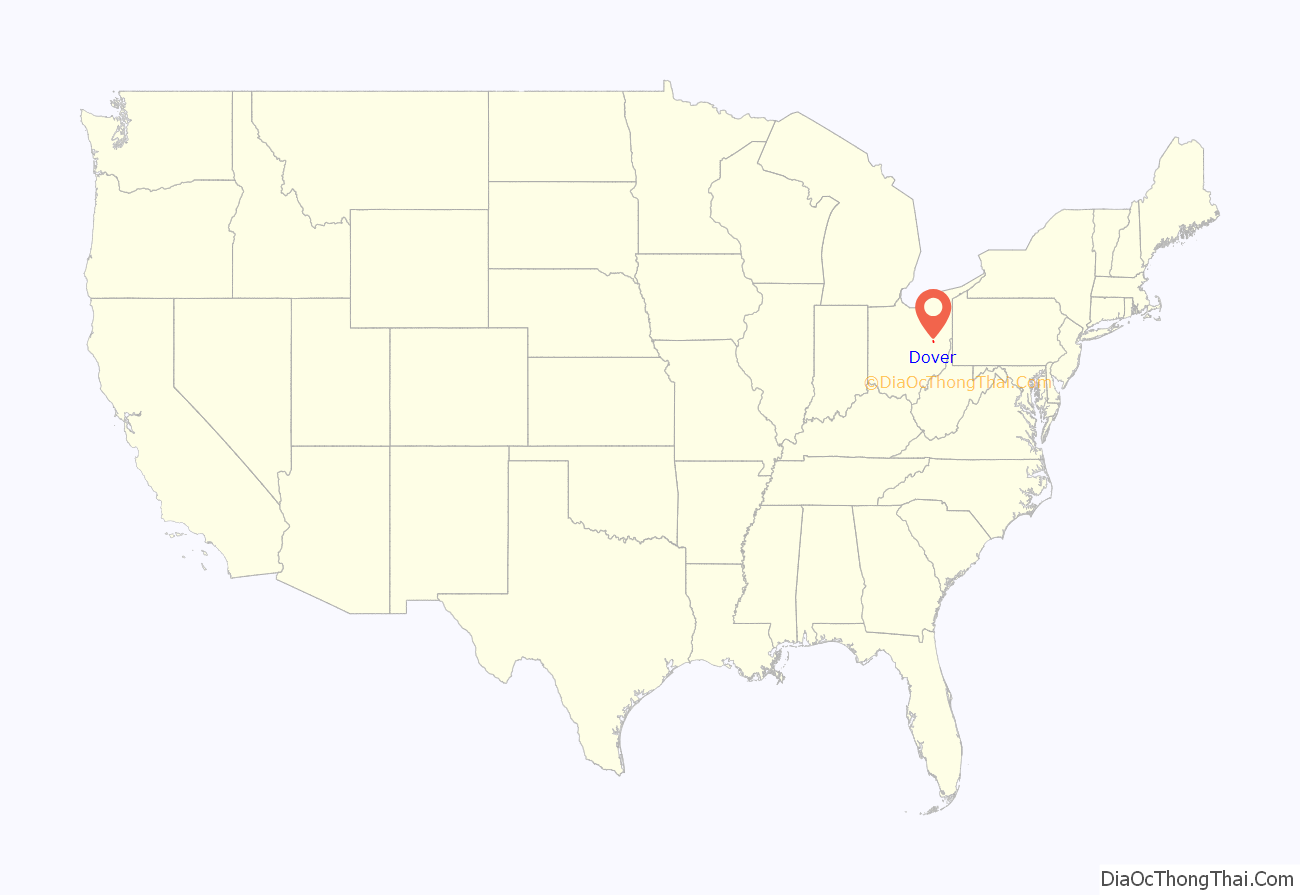
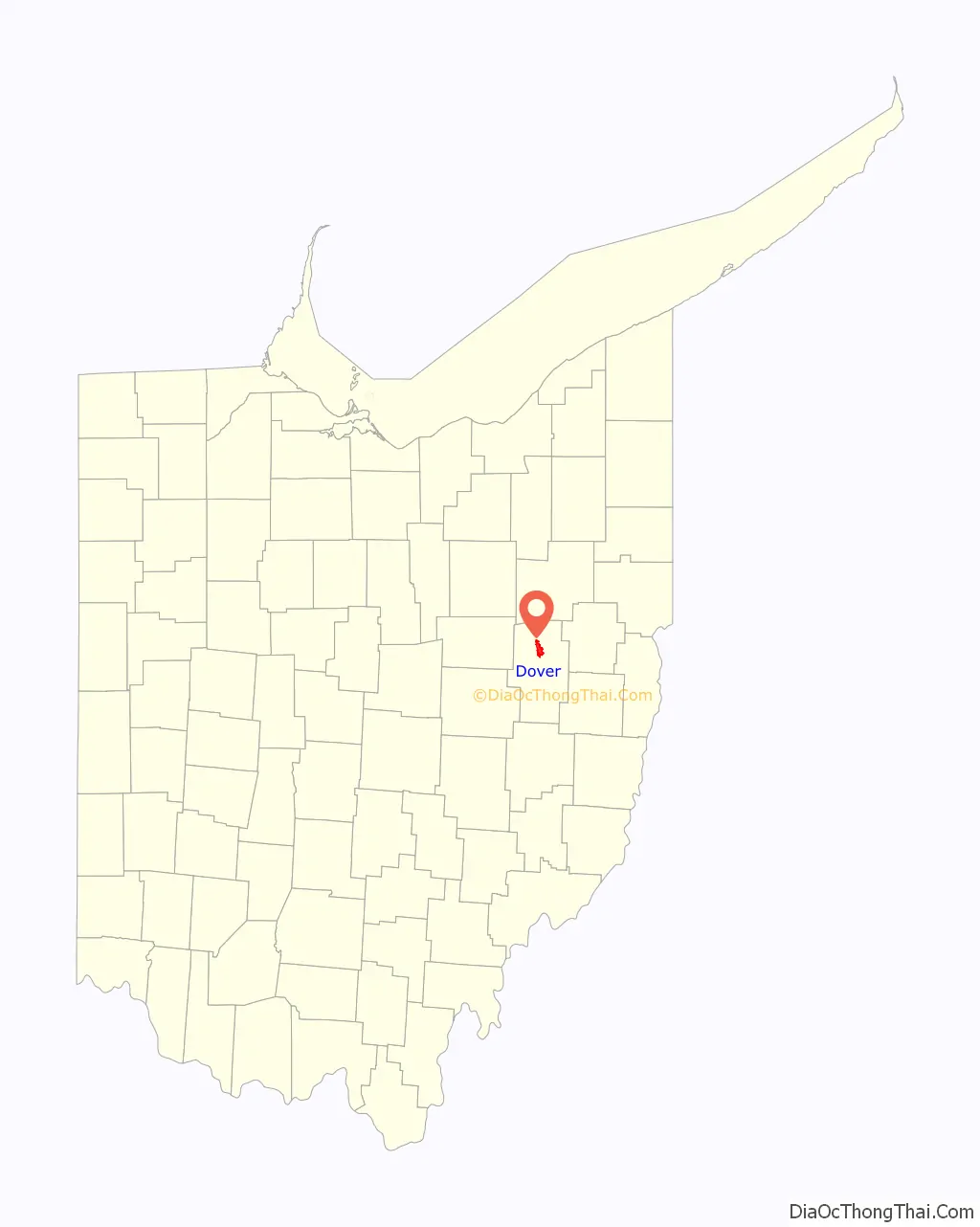
Dover location map. Where is Dover city?
History
Originally named Canal Dover due to its location and origins along the Ohio and Erie Canal, the land was platted in 1807, with Christian Deardorff and Jesse Slingluff recognized as the founders. Beginning in 1815, the post office first began operation. Canal Dover incorporated as a village in 1842 and became a city under the Ohio municipal code of 1903. On February 12, 1916, the city officially changed its name to Dover.
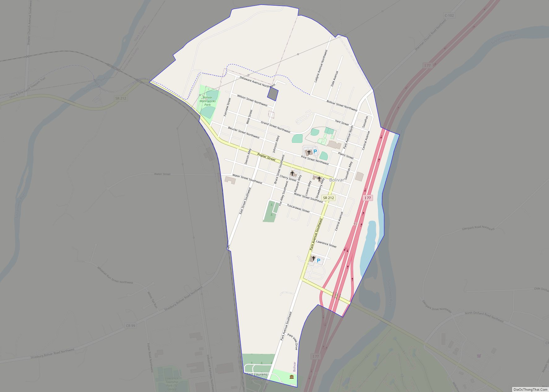
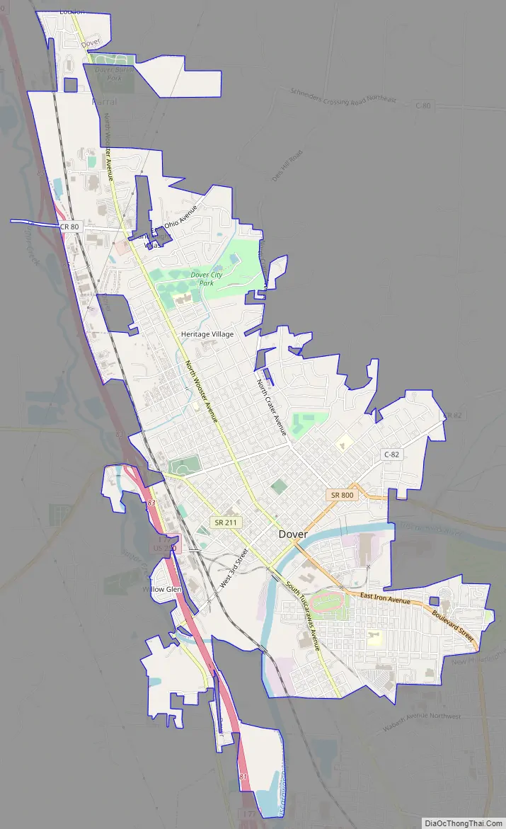
Dover Road Map
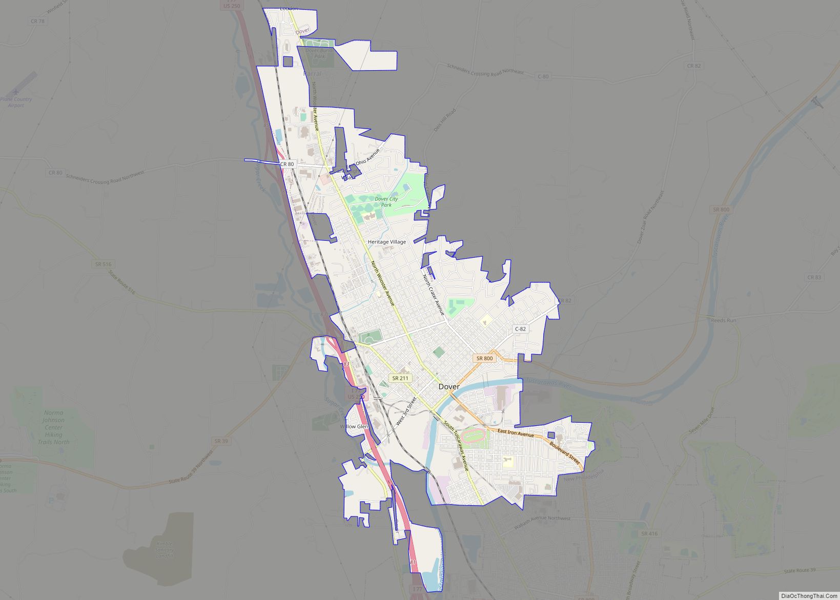
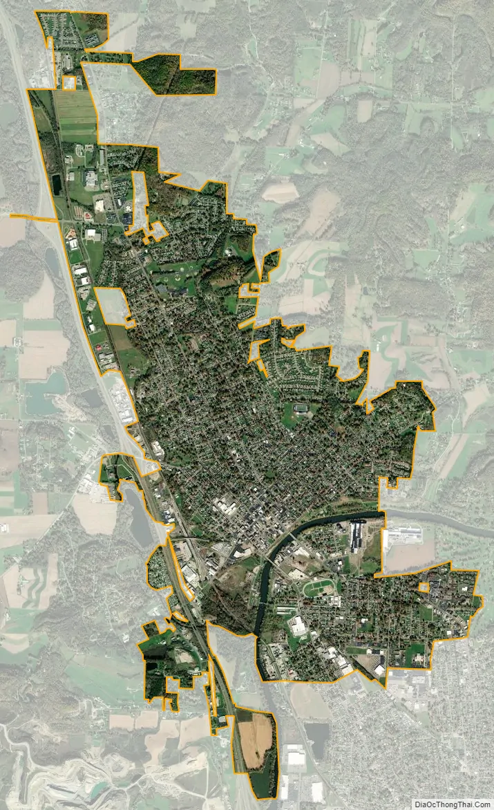
Dover city Satellite Map
Geography
Dover is located at 40°31′36″N 81°28′40″W / 40.52667°N 81.47778°W / 40.52667; -81.47778 (40.526545, -81.477769), along the Tuscarawas River, near the mouth of Sugar Creek.
According to the United States Census Bureau, the city has a total area of 5.79 square miles (15.00 km), of which 5.69 square miles (14.74 km) is land and 0.10 square miles (0.26 km) is water.
See also
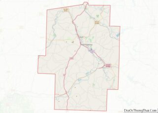
Map of Ohio State and its subdivision:- Adams
- Allen
- Ashland
- Ashtabula
- Athens
- Auglaize
- Belmont
- Brown
- Butler
- Carroll
- Champaign
- Clark
- Clermont
- Clinton
- Columbiana
- Coshocton
- Crawford
- Cuyahoga
- Darke
- Defiance
- Delaware
- Erie
- Fairfield
- Fayette
- Franklin
- Fulton
- Gallia
- Geauga
- Greene
- Guernsey
- Hamilton
- Hancock
- Hardin
- Harrison
- Henry
- Highland
- Hocking
- Holmes
- Huron
- Jackson
- Jefferson
- Knox
- Lake
- Lake Erie
- Lawrence
- Licking
- Logan
- Lorain
- Lucas
- Madison
- Mahoning
- Marion
- Medina
- Meigs
- Mercer
- Miami
- Monroe
- Montgomery
- Morgan
- Morrow
- Muskingum
- Noble
- Ottawa
- Paulding
- Perry
- Pickaway
- Pike
- Portage
- Preble
- Putnam
- Richland
- Ross
- Sandusky
- Scioto
- Seneca
- Shelby
- Stark
- Summit
- Trumbull
- Tuscarawas
- Union
- Van Wert
- Vinton
- Warren
- Washington
- Wayne
- Williams
- Wood
- Wyandot
- Alabama
- Alaska
- Arizona
- Arkansas
- California
- Colorado
- Connecticut
- Delaware
- District of Columbia
- Florida
- Georgia
- Hawaii
- Idaho
- Illinois
- Indiana
- Iowa
- Kansas
- Kentucky
- Louisiana
- Maine
- Maryland
- Massachusetts
- Michigan
- Minnesota
- Mississippi
- Missouri
- Montana
- Nebraska
- Nevada
- New Hampshire
- New Jersey
- New Mexico
- New York
- North Carolina
- North Dakota
- Ohio
- Oklahoma
- Oregon
- Pennsylvania
- Rhode Island
- South Carolina
- South Dakota
- Tennessee
- Texas
- Utah
- Vermont
- Virginia
- Washington
- West Virginia
- Wisconsin
- Wyoming