Weston is a village in Wood County, Ohio, United States. The population was 1,590 at the 2010 census. Weston is located just 10 miles west of Bowling Green, Ohio, a university town.
| Name: | Weston village |
|---|---|
| LSAD Code: | 47 |
| LSAD Description: | village (suffix) |
| State: | Ohio |
| County: | Wood County |
| Total Area: | 1.14 sq mi (2.96 km²) |
| Land Area: | 1.14 sq mi (2.95 km²) |
| Water Area: | 0.00 sq mi (0.01 km²) |
| Total Population: | 1,455 |
| Population Density: | 1,276.32/sq mi (492.93/km²) |
| ZIP code: | 43569 |
| Area code: | 419 |
| FIPS code: | 3983972 |
| Website: | http://www.westonohio.org/ |
Online Interactive Map
Click on ![]() to view map in "full screen" mode.
to view map in "full screen" mode.
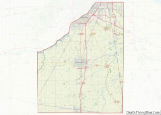
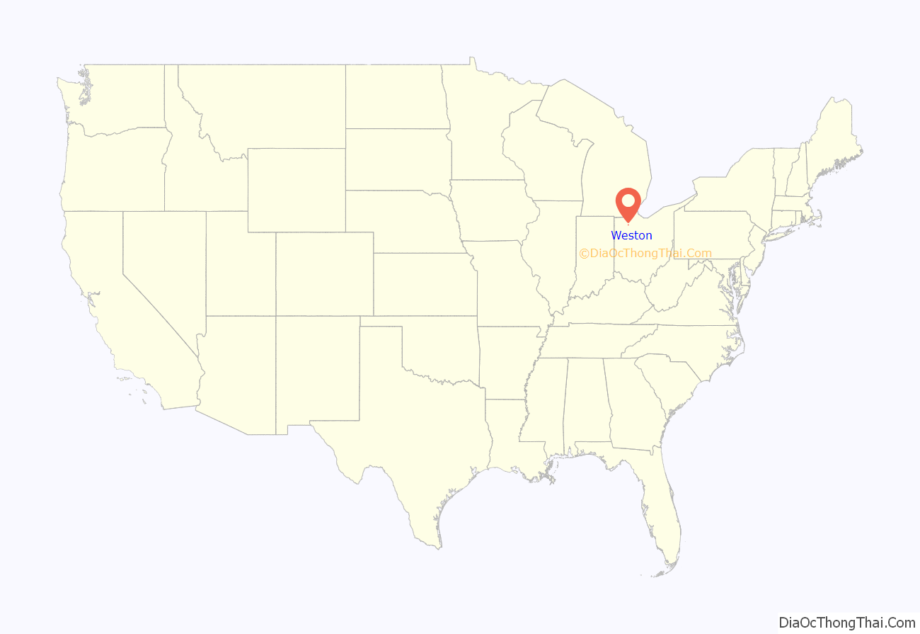
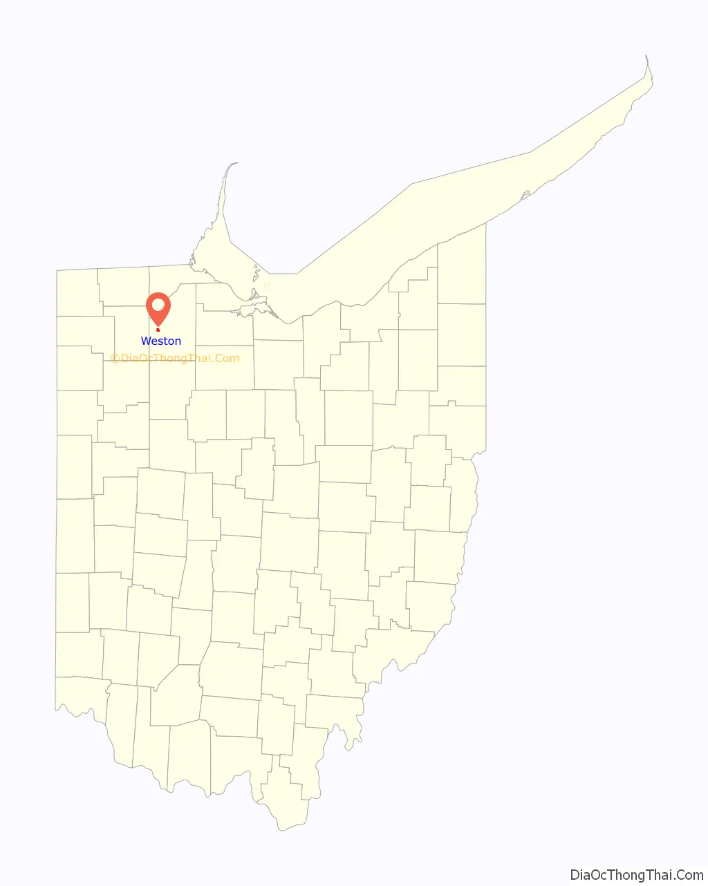
Weston location map. Where is Weston village?
History
Weston was originally called Taylortown, and under the latter name was platted in 1853 by Thomas Taylor, and named for him. Another early variant name was New Westfield. The present name is from Weston Township. A post office called New Westfield was established in 1856, and the name was changed to Weston in 1863. The village was incorporated in 1873.
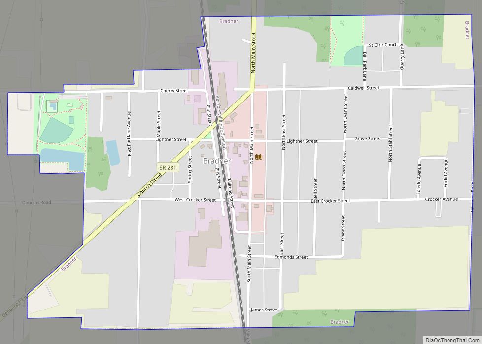
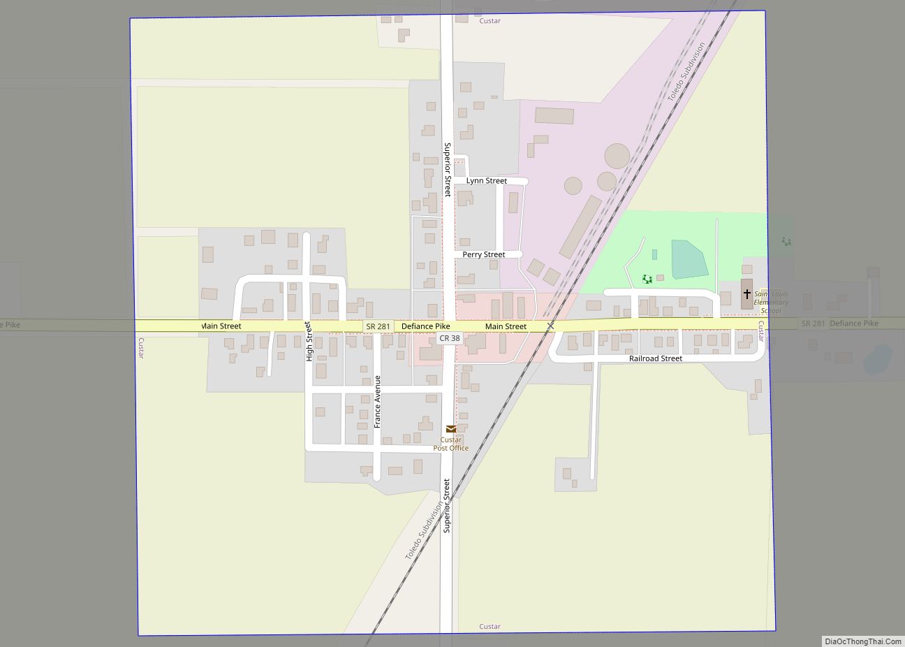
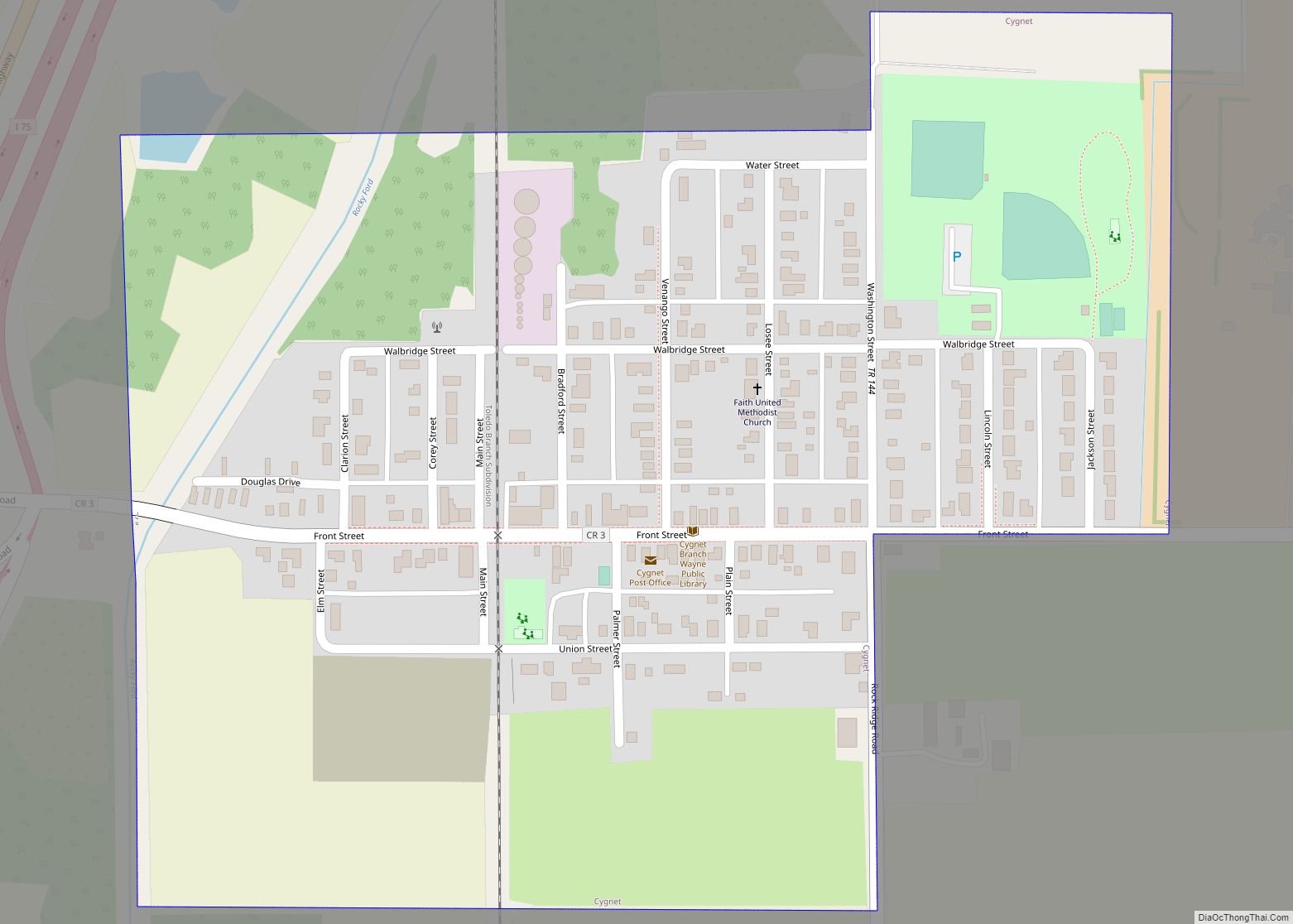
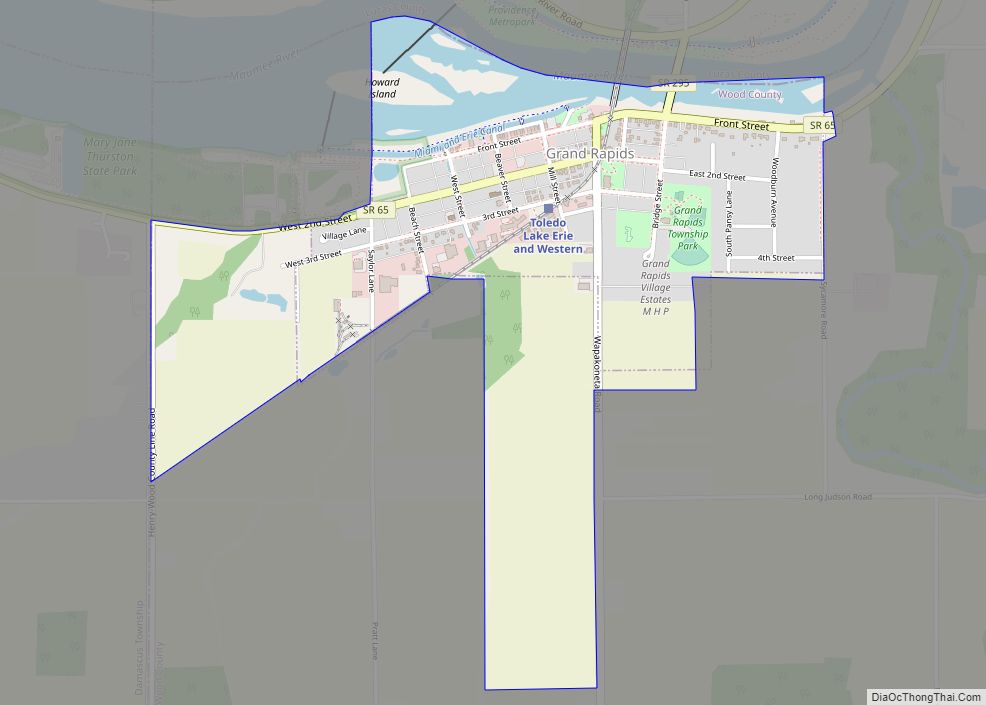
Weston Road Map
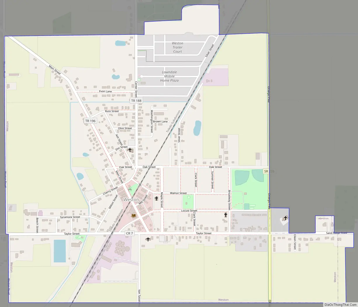
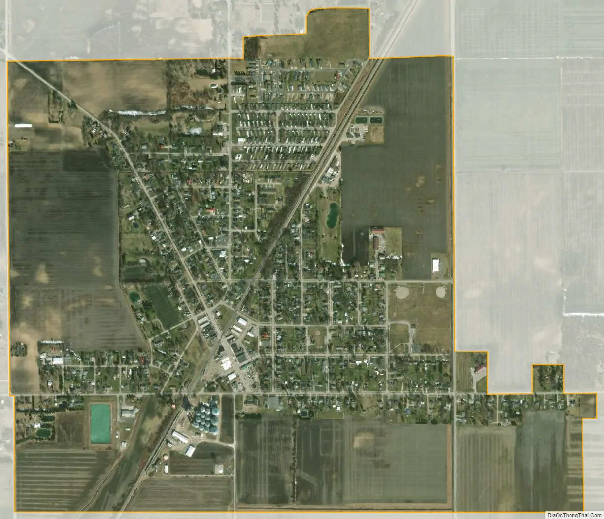
Weston city Satellite Map
Geography
Weston is located at 41°20′45″N 83°47′40″W / 41.34583°N 83.79444°W / 41.34583; -83.79444 (41.345806, -83.794543).
According to the United States Census Bureau, the village has a total area of 1.13 square miles (2.93 km), all land.
See also
Map of Ohio State and its subdivision:- Adams
- Allen
- Ashland
- Ashtabula
- Athens
- Auglaize
- Belmont
- Brown
- Butler
- Carroll
- Champaign
- Clark
- Clermont
- Clinton
- Columbiana
- Coshocton
- Crawford
- Cuyahoga
- Darke
- Defiance
- Delaware
- Erie
- Fairfield
- Fayette
- Franklin
- Fulton
- Gallia
- Geauga
- Greene
- Guernsey
- Hamilton
- Hancock
- Hardin
- Harrison
- Henry
- Highland
- Hocking
- Holmes
- Huron
- Jackson
- Jefferson
- Knox
- Lake
- Lake Erie
- Lawrence
- Licking
- Logan
- Lorain
- Lucas
- Madison
- Mahoning
- Marion
- Medina
- Meigs
- Mercer
- Miami
- Monroe
- Montgomery
- Morgan
- Morrow
- Muskingum
- Noble
- Ottawa
- Paulding
- Perry
- Pickaway
- Pike
- Portage
- Preble
- Putnam
- Richland
- Ross
- Sandusky
- Scioto
- Seneca
- Shelby
- Stark
- Summit
- Trumbull
- Tuscarawas
- Union
- Van Wert
- Vinton
- Warren
- Washington
- Wayne
- Williams
- Wood
- Wyandot
- Alabama
- Alaska
- Arizona
- Arkansas
- California
- Colorado
- Connecticut
- Delaware
- District of Columbia
- Florida
- Georgia
- Hawaii
- Idaho
- Illinois
- Indiana
- Iowa
- Kansas
- Kentucky
- Louisiana
- Maine
- Maryland
- Massachusetts
- Michigan
- Minnesota
- Mississippi
- Missouri
- Montana
- Nebraska
- Nevada
- New Hampshire
- New Jersey
- New Mexico
- New York
- North Carolina
- North Dakota
- Ohio
- Oklahoma
- Oregon
- Pennsylvania
- Rhode Island
- South Carolina
- South Dakota
- Tennessee
- Texas
- Utah
- Vermont
- Virginia
- Washington
- West Virginia
- Wisconsin
- Wyoming