Wheelersburg is a census-designated place (CDP) in Scioto County, Ohio, United States. It lies along the northern banks of the Ohio River in southern Ohio. Wheelersburg is approximately 7 miles (11 km) east of Portsmouth and 14 miles (23 km) west of Ironton. It is in Porter Township. The population was 6,437 at the 2010 census.
| Name: | Wheelersburg CDP |
|---|---|
| LSAD Code: | 57 |
| LSAD Description: | CDP (suffix) |
| State: | Ohio |
| County: | Scioto County |
| Elevation: | 554 ft (169 m) |
| Total Area: | 5.90 sq mi (15.27 km²) |
| Land Area: | 5.80 sq mi (15.03 km²) |
| Water Area: | 0.09 sq mi (0.24 km²) |
| Total Population: | 6,531 |
| Population Density: | 1,125.26/sq mi (434.50/km²) |
| ZIP code: | 45694 |
| Area code: | 740 |
| FIPS code: | 3984588 |
| GNISfeature ID: | 1077173 |
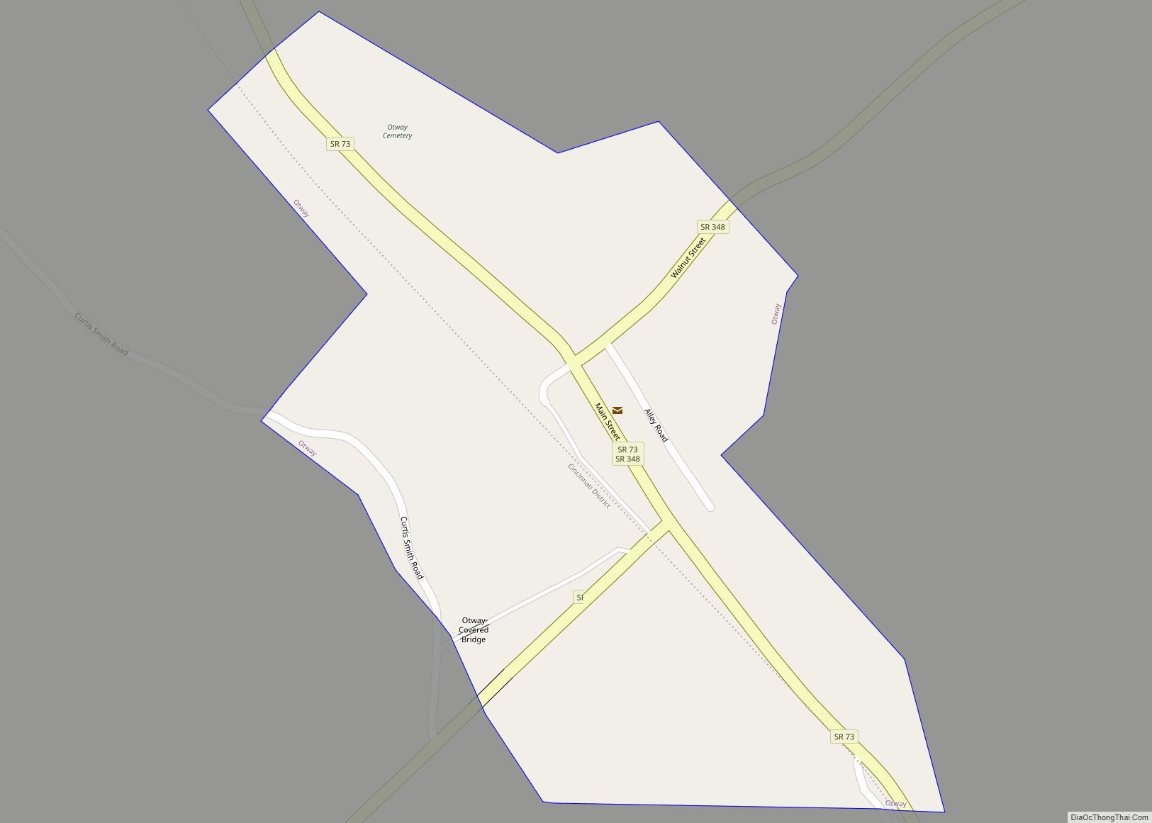
Online Interactive Map
Click on ![]() to view map in "full screen" mode.
to view map in "full screen" mode.
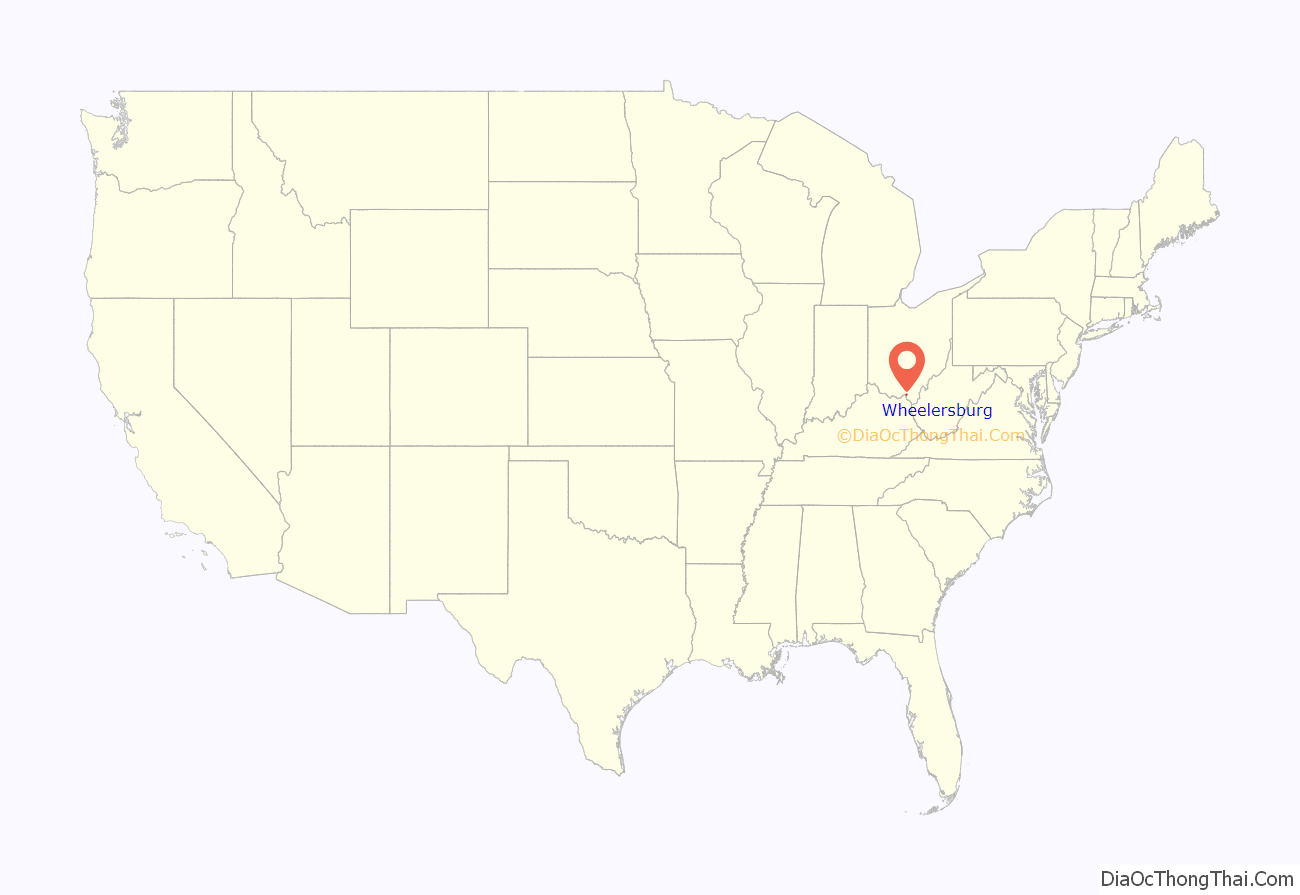
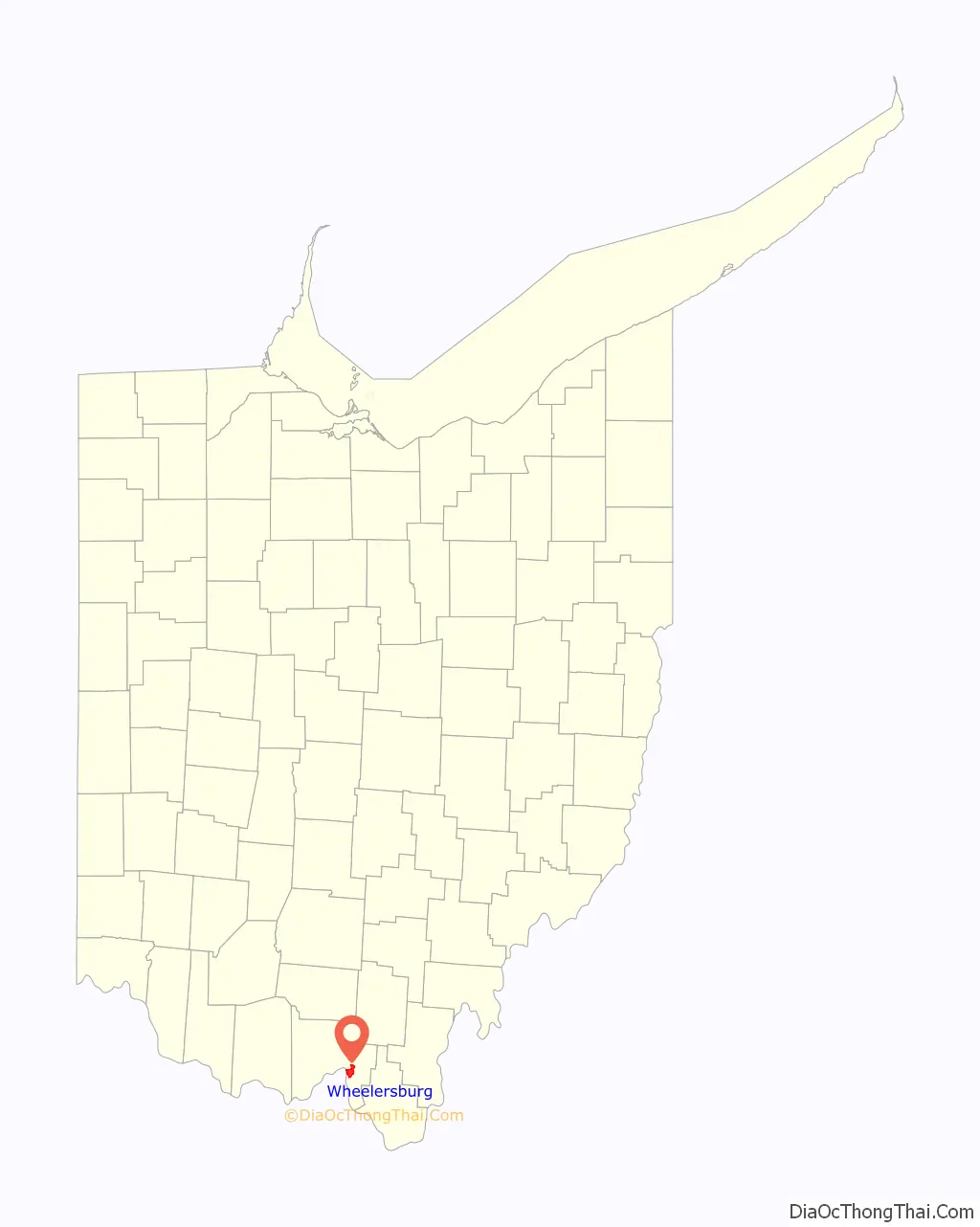
Wheelersburg location map. Where is Wheelersburg CDP?
History
Wheelersburg was originally called Concord, and under the latter name was platted in 1824. The present name honors Major Porter Wheeler, a pioneer settler. By 1833, Wheelersburg had about 150 inhabitants. A post office called Wheelersburgh was established in 1879, and the name was changed to Wheelersburg in 1893.
In 1968, the town was devastated by an F5 tornado that killed seven people.
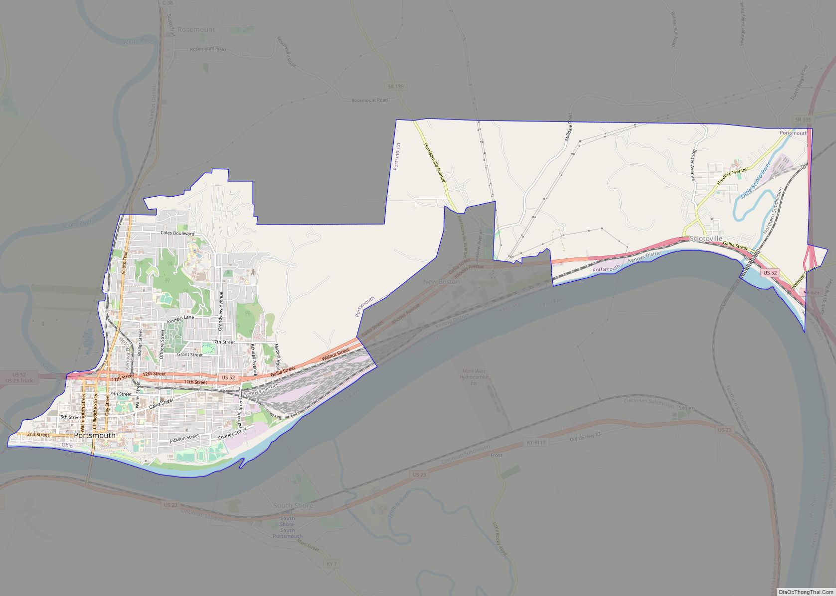
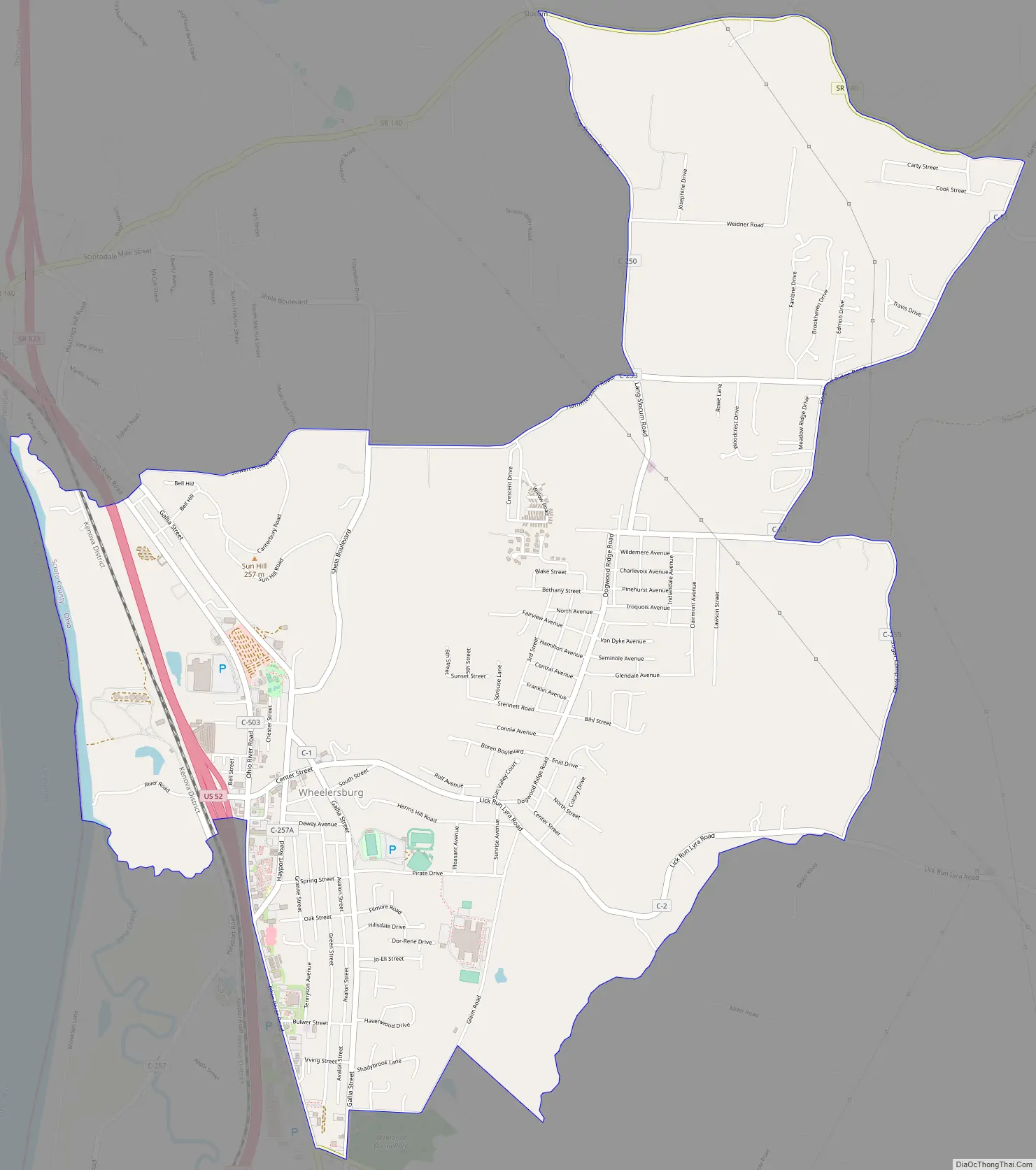
Wheelersburg Road Map
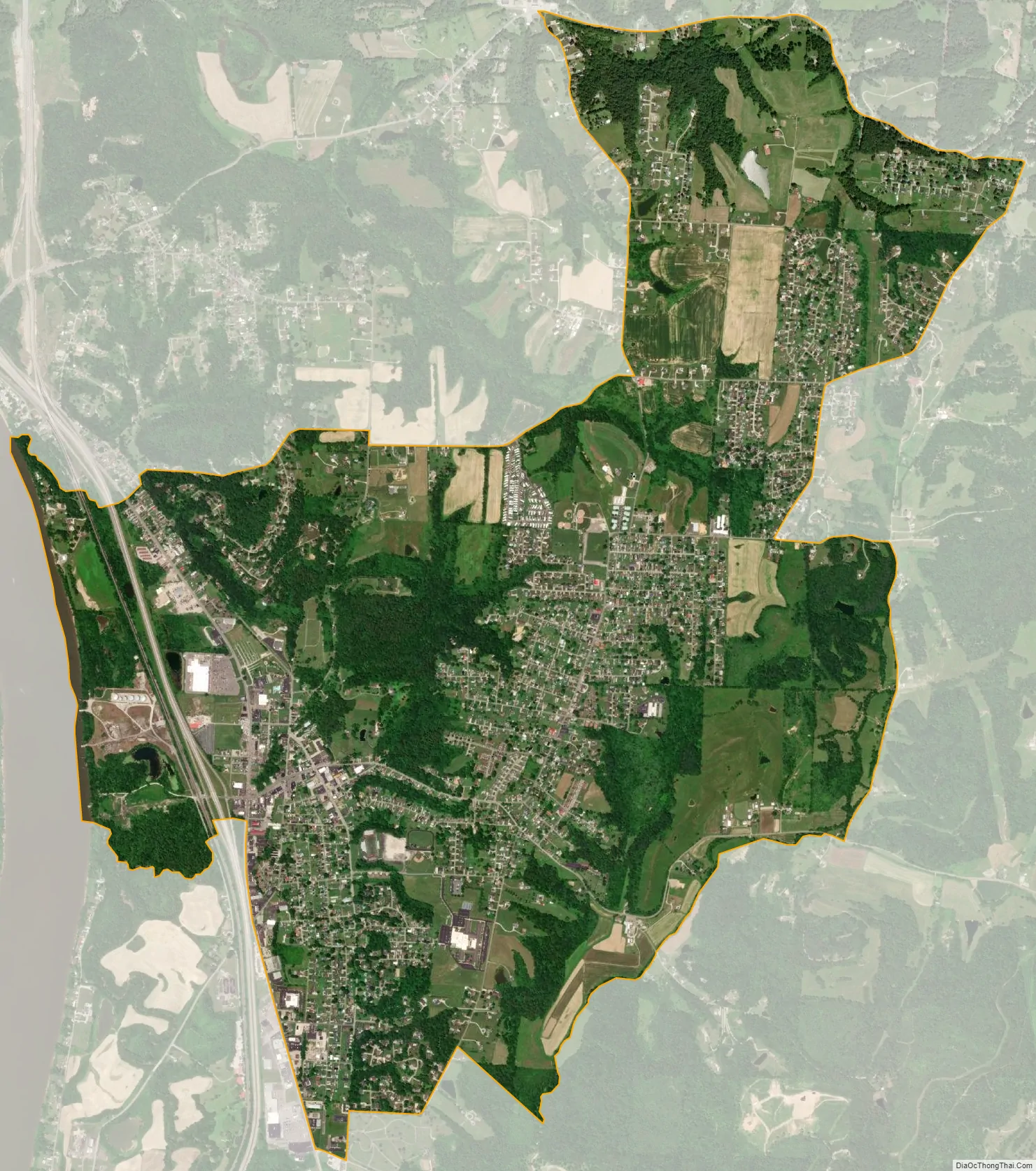
Wheelersburg city Satellite Map
Geography
Wheelersburg is located at 38°44′02″N 82°50′33″W / 38.733779°N 82.842411°W / 38.733779; -82.842411 (38.733779, -82.842411).
According to the United States Census Bureau, the CDP has a total area of 5.9 square miles (15 km), of which 5.8 square miles (15 km) is land and 0.1 square miles (0.26 km), or 1.36%, is water.
Climate
Wheelersburg suffered an F5 (maximum wind speeds of 261–318 miles per hour) tornado on April 23, 1968, in which seven people were killed and 93 people injured, costing nearly $5 million in damages. Wheelersburg is below the Ohio state average for tornado activity, however.
See also
Map of Ohio State and its subdivision:- Adams
- Allen
- Ashland
- Ashtabula
- Athens
- Auglaize
- Belmont
- Brown
- Butler
- Carroll
- Champaign
- Clark
- Clermont
- Clinton
- Columbiana
- Coshocton
- Crawford
- Cuyahoga
- Darke
- Defiance
- Delaware
- Erie
- Fairfield
- Fayette
- Franklin
- Fulton
- Gallia
- Geauga
- Greene
- Guernsey
- Hamilton
- Hancock
- Hardin
- Harrison
- Henry
- Highland
- Hocking
- Holmes
- Huron
- Jackson
- Jefferson
- Knox
- Lake
- Lake Erie
- Lawrence
- Licking
- Logan
- Lorain
- Lucas
- Madison
- Mahoning
- Marion
- Medina
- Meigs
- Mercer
- Miami
- Monroe
- Montgomery
- Morgan
- Morrow
- Muskingum
- Noble
- Ottawa
- Paulding
- Perry
- Pickaway
- Pike
- Portage
- Preble
- Putnam
- Richland
- Ross
- Sandusky
- Scioto
- Seneca
- Shelby
- Stark
- Summit
- Trumbull
- Tuscarawas
- Union
- Van Wert
- Vinton
- Warren
- Washington
- Wayne
- Williams
- Wood
- Wyandot
- Alabama
- Alaska
- Arizona
- Arkansas
- California
- Colorado
- Connecticut
- Delaware
- District of Columbia
- Florida
- Georgia
- Hawaii
- Idaho
- Illinois
- Indiana
- Iowa
- Kansas
- Kentucky
- Louisiana
- Maine
- Maryland
- Massachusetts
- Michigan
- Minnesota
- Mississippi
- Missouri
- Montana
- Nebraska
- Nevada
- New Hampshire
- New Jersey
- New Mexico
- New York
- North Carolina
- North Dakota
- Ohio
- Oklahoma
- Oregon
- Pennsylvania
- Rhode Island
- South Carolina
- South Dakota
- Tennessee
- Texas
- Utah
- Vermont
- Virginia
- Washington
- West Virginia
- Wisconsin
- Wyoming