Whitehouse is a village within the Toledo Metropolitan Area in Lucas County, Ohio, United States. The population was 4,149 at the 2010 census.
| Name: | Whitehouse village |
|---|---|
| LSAD Code: | 47 |
| LSAD Description: | village (suffix) |
| State: | Ohio |
| County: | Lucas County |
| Total Area: | 4.31 sq mi (11.17 km²) |
| Land Area: | 4.31 sq mi (11.17 km²) |
| Water Area: | 0.00 sq mi (0.00 km²) |
| Total Population: | 4,990 |
| Population Density: | 1,157.24/sq mi (446.83/km²) |
| ZIP code: | 43571 |
| Area code: | 419 |
| FIPS code: | 3984770 |
| Website: | https://whitehouseoh.gov/ |
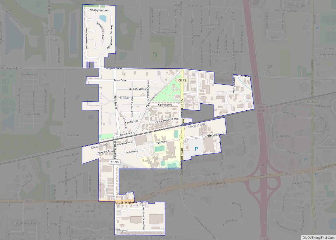
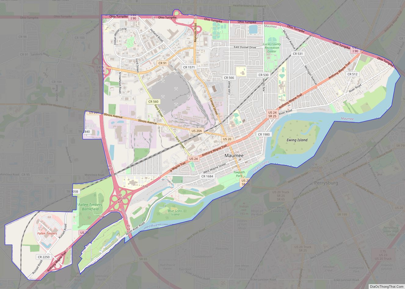
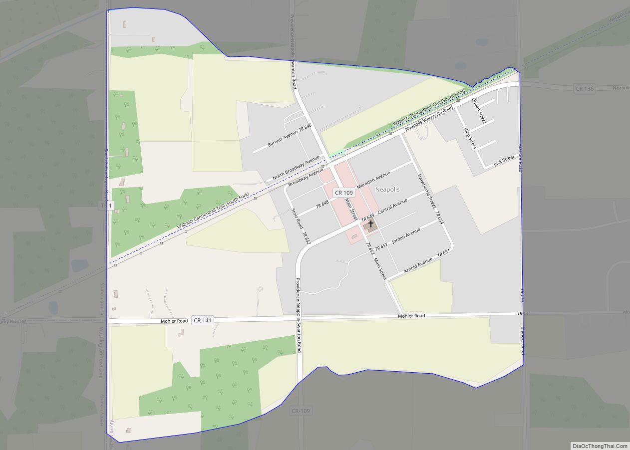
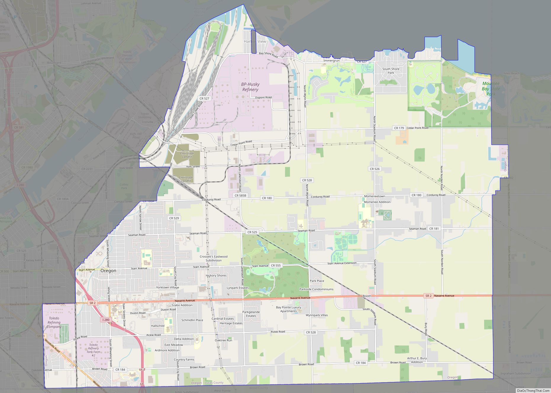
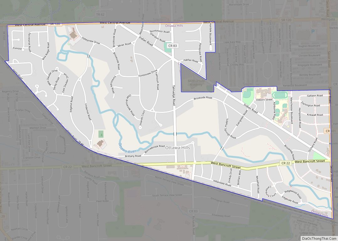
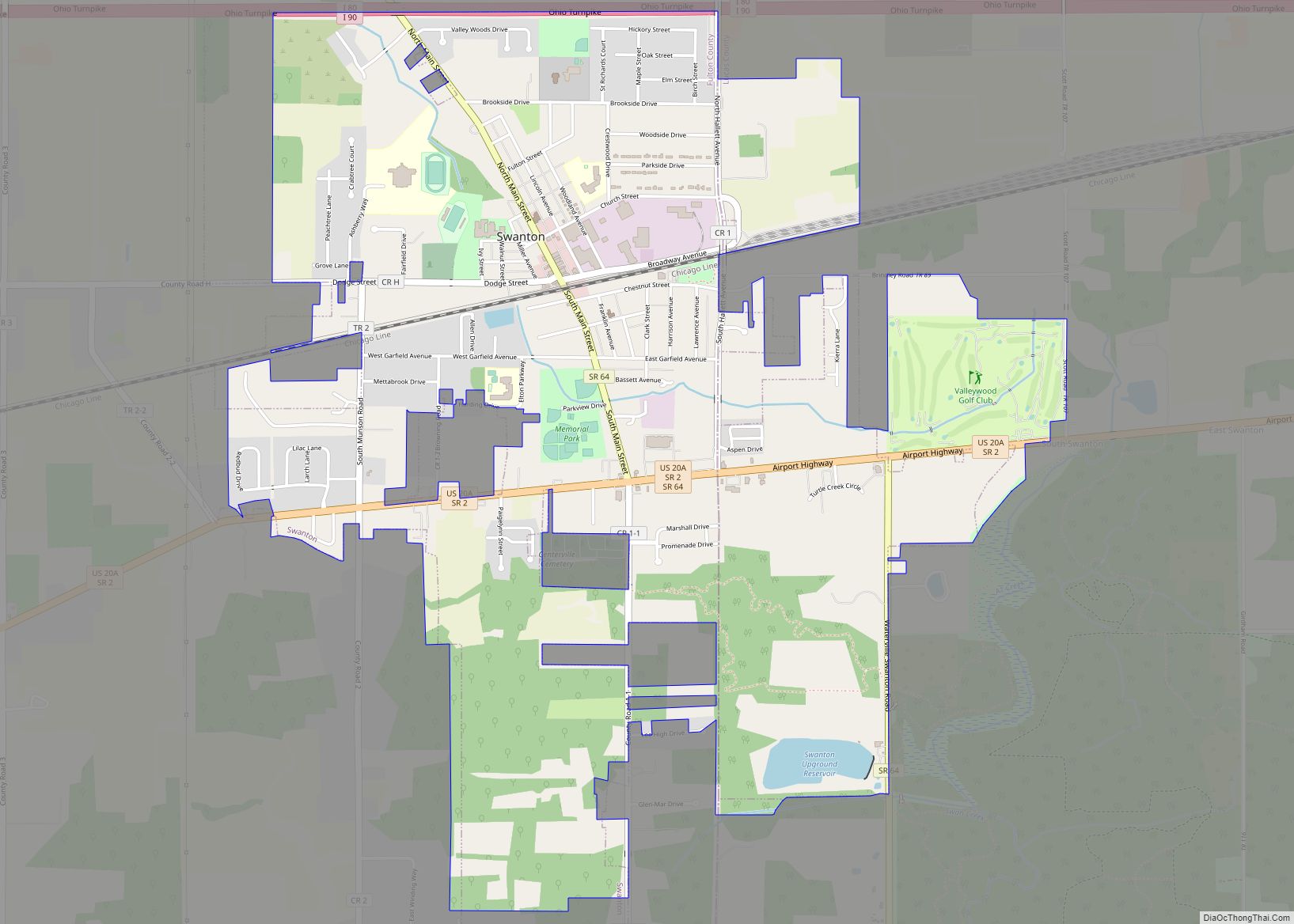
Online Interactive Map
Click on ![]() to view map in "full screen" mode.
to view map in "full screen" mode.
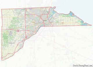
Whitehouse location map. Where is Whitehouse village?


History
The area now known as the Village of Whitehouse was originally occupied by various Native American tribes, such as the Miami, Ottawa, Shawnee, Wyandot, and Delaware. Settlers of European descent began travelling through the Northwestern Territory after “Mad” Anthony Wayne’s victory at the Battle of Fallen Timbers in 1794. Many settlers were of German or Dutch descent in search of farmland. Canal access also attracted many settlers to this particular area. A post office was established as Whitehouse in 1856. Whitehouse was platted in 1864. The village was named for Edward Whitehouse, a railroad official and treasurer of the Wabash Railroad.
Whitehouse Road Map

Whitehouse city Satellite Map

Geography
Whitehouse is located at 41°31′16″N 83°48′4″W / 41.52111°N 83.80111°W / 41.52111; -83.80111 (41.521102, -83.801208).
According to the United States Census Bureau, the village has a total area of 4.29 square miles (11.11 km), all land.
See also
Map of Ohio State and its subdivision:- Adams
- Allen
- Ashland
- Ashtabula
- Athens
- Auglaize
- Belmont
- Brown
- Butler
- Carroll
- Champaign
- Clark
- Clermont
- Clinton
- Columbiana
- Coshocton
- Crawford
- Cuyahoga
- Darke
- Defiance
- Delaware
- Erie
- Fairfield
- Fayette
- Franklin
- Fulton
- Gallia
- Geauga
- Greene
- Guernsey
- Hamilton
- Hancock
- Hardin
- Harrison
- Henry
- Highland
- Hocking
- Holmes
- Huron
- Jackson
- Jefferson
- Knox
- Lake
- Lake Erie
- Lawrence
- Licking
- Logan
- Lorain
- Lucas
- Madison
- Mahoning
- Marion
- Medina
- Meigs
- Mercer
- Miami
- Monroe
- Montgomery
- Morgan
- Morrow
- Muskingum
- Noble
- Ottawa
- Paulding
- Perry
- Pickaway
- Pike
- Portage
- Preble
- Putnam
- Richland
- Ross
- Sandusky
- Scioto
- Seneca
- Shelby
- Stark
- Summit
- Trumbull
- Tuscarawas
- Union
- Van Wert
- Vinton
- Warren
- Washington
- Wayne
- Williams
- Wood
- Wyandot
- Alabama
- Alaska
- Arizona
- Arkansas
- California
- Colorado
- Connecticut
- Delaware
- District of Columbia
- Florida
- Georgia
- Hawaii
- Idaho
- Illinois
- Indiana
- Iowa
- Kansas
- Kentucky
- Louisiana
- Maine
- Maryland
- Massachusetts
- Michigan
- Minnesota
- Mississippi
- Missouri
- Montana
- Nebraska
- Nevada
- New Hampshire
- New Jersey
- New Mexico
- New York
- North Carolina
- North Dakota
- Ohio
- Oklahoma
- Oregon
- Pennsylvania
- Rhode Island
- South Carolina
- South Dakota
- Tennessee
- Texas
- Utah
- Vermont
- Virginia
- Washington
- West Virginia
- Wisconsin
- Wyoming