Williamsport is a village in Pickaway County, Ohio, United States. The population was 1,023 at the 2010 census.
| Name: | Williamsport village |
|---|---|
| LSAD Code: | 47 |
| LSAD Description: | village (suffix) |
| State: | Ohio |
| County: | Pickaway County |
| Total Area: | 1.80 sq mi (4.67 km²) |
| Land Area: | 1.77 sq mi (4.60 km²) |
| Water Area: | 0.03 sq mi (0.08 km²) |
| Total Population: | 970 |
| Population Density: | 546.48/sq mi (210.97/km²) |
| ZIP code: | 43164 |
| Area code: | 740 |
| FIPS code: | 3985414 |
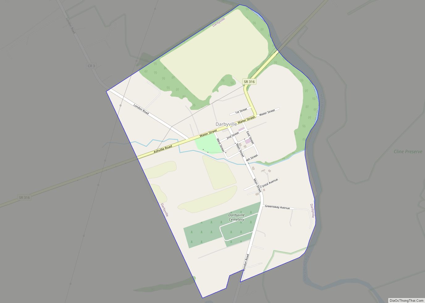
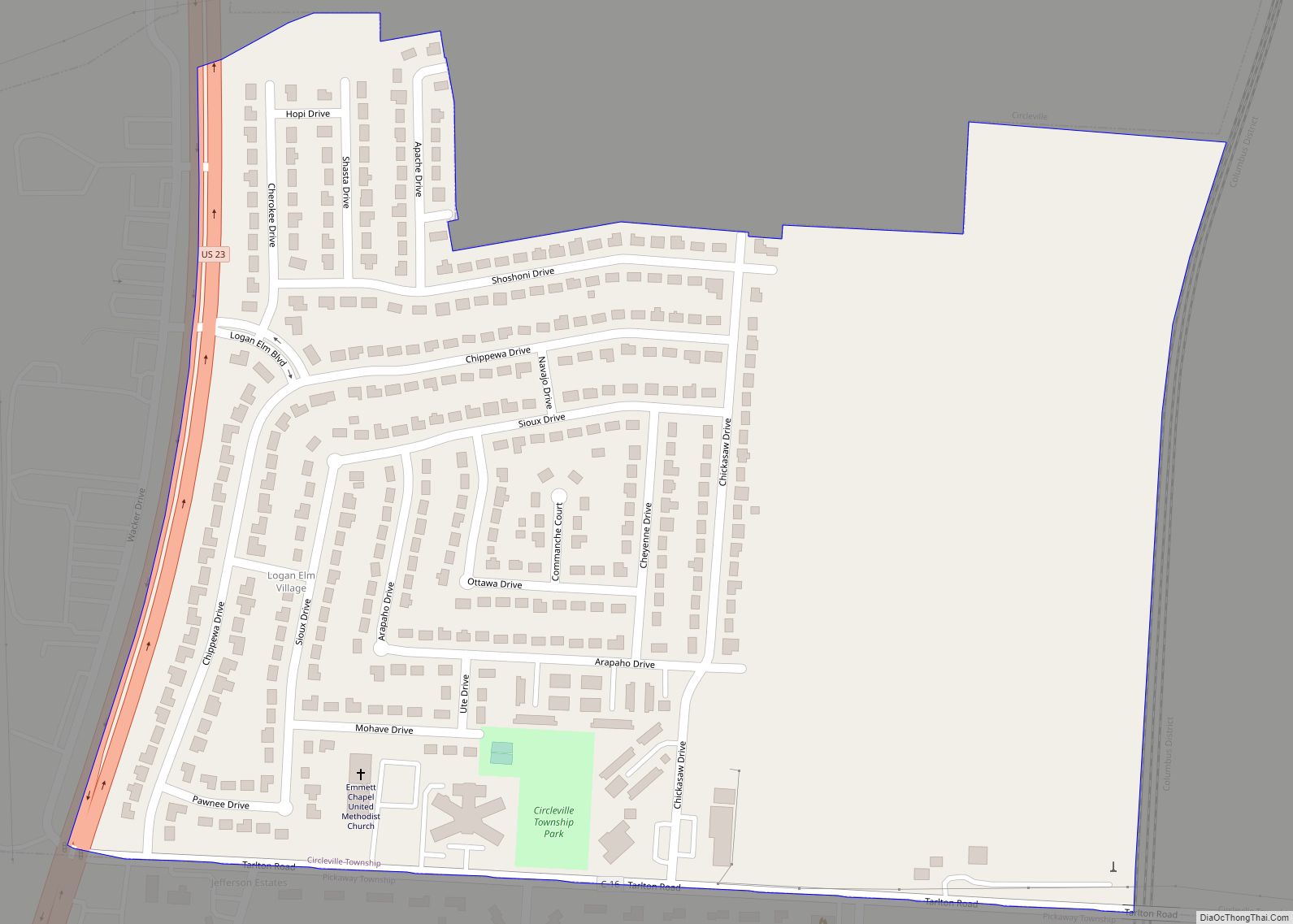
Online Interactive Map
Click on ![]() to view map in "full screen" mode.
to view map in "full screen" mode.
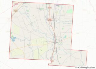
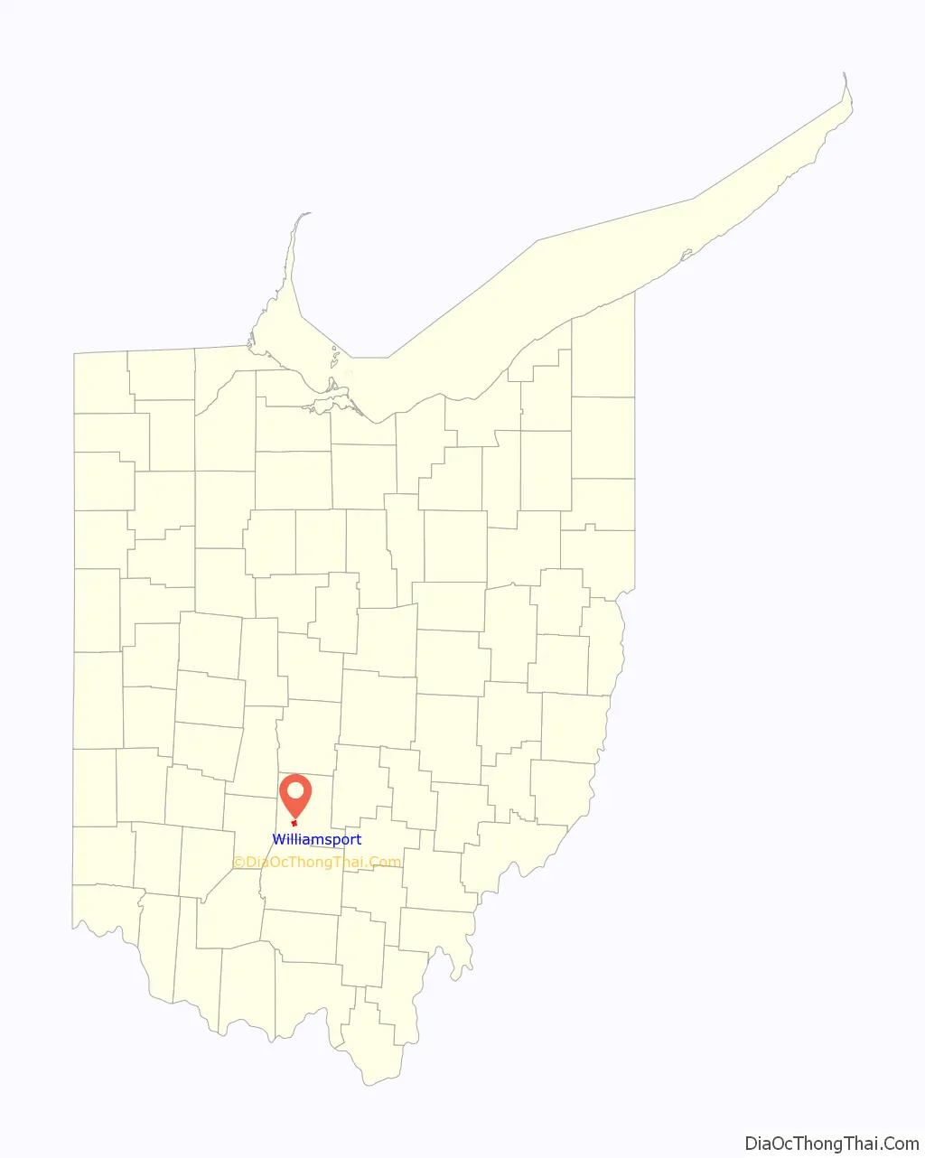
Williamsport location map. Where is Williamsport village?

History
In 2022, the village blocked the development of the 400-megawatt Chipmunk Solar project, which would have become one of the largest renewable energy projects in the United States. With the cancellation of the solar power array, the village lost an estimated $3.6 million per year in tax revenue (most of which was intended for public schools).
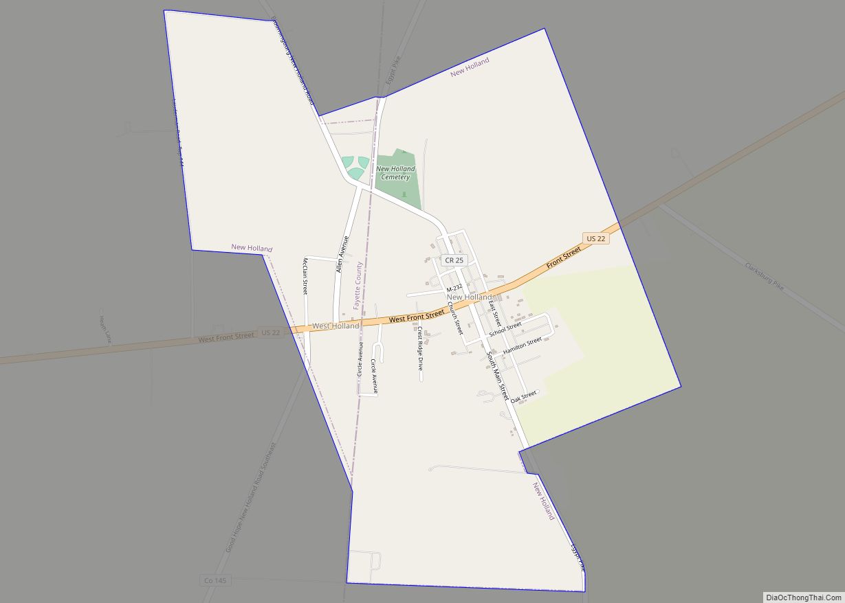
Williamsport Road Map

Williamsport city Satellite Map

Geography
Williamsport is located at 39°34′55″N 83°7′8″W / 39.58194°N 83.11889°W / 39.58194; -83.11889 (39.581954, -83.118922).
According to the United States Census Bureau, the village has a total area of 1.84 square miles (4.77 km), of which 1.81 square miles (4.69 km) is land and 0.03 square miles (0.08 km) is water.
See also
Map of Ohio State and its subdivision:- Adams
- Allen
- Ashland
- Ashtabula
- Athens
- Auglaize
- Belmont
- Brown
- Butler
- Carroll
- Champaign
- Clark
- Clermont
- Clinton
- Columbiana
- Coshocton
- Crawford
- Cuyahoga
- Darke
- Defiance
- Delaware
- Erie
- Fairfield
- Fayette
- Franklin
- Fulton
- Gallia
- Geauga
- Greene
- Guernsey
- Hamilton
- Hancock
- Hardin
- Harrison
- Henry
- Highland
- Hocking
- Holmes
- Huron
- Jackson
- Jefferson
- Knox
- Lake
- Lake Erie
- Lawrence
- Licking
- Logan
- Lorain
- Lucas
- Madison
- Mahoning
- Marion
- Medina
- Meigs
- Mercer
- Miami
- Monroe
- Montgomery
- Morgan
- Morrow
- Muskingum
- Noble
- Ottawa
- Paulding
- Perry
- Pickaway
- Pike
- Portage
- Preble
- Putnam
- Richland
- Ross
- Sandusky
- Scioto
- Seneca
- Shelby
- Stark
- Summit
- Trumbull
- Tuscarawas
- Union
- Van Wert
- Vinton
- Warren
- Washington
- Wayne
- Williams
- Wood
- Wyandot
- Alabama
- Alaska
- Arizona
- Arkansas
- California
- Colorado
- Connecticut
- Delaware
- District of Columbia
- Florida
- Georgia
- Hawaii
- Idaho
- Illinois
- Indiana
- Iowa
- Kansas
- Kentucky
- Louisiana
- Maine
- Maryland
- Massachusetts
- Michigan
- Minnesota
- Mississippi
- Missouri
- Montana
- Nebraska
- Nevada
- New Hampshire
- New Jersey
- New Mexico
- New York
- North Carolina
- North Dakota
- Ohio
- Oklahoma
- Oregon
- Pennsylvania
- Rhode Island
- South Carolina
- South Dakota
- Tennessee
- Texas
- Utah
- Vermont
- Virginia
- Washington
- West Virginia
- Wisconsin
- Wyoming