Winesburg is an unincorporated community and census-designated place (CDP) in Paint Township, Holmes County, Ohio, in the United States. The population was 352 at the 2010 census. The community sits on the crest of a hill in the Amish country of Ohio, with a quaint downtown containing antique shops. It lies along U.S. Route 62.
It is not the setting of the novel Winesburg, Ohio by Sherwood Anderson, a collection of inter-related fictional short stories about citizens of a small town set in the early 20th century. (Clyde, Ohio, the town that Sherwood Anderson grew up in, is.)
| Name: | Winesburg CDP |
|---|---|
| LSAD Code: | 57 |
| LSAD Description: | CDP (suffix) |
| State: | Ohio |
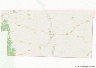
| County: | Holmes County |
| Elevation: | 1,312 ft (400 m) |
| Total Area: | 0.63 sq mi (1.63 km²) |
| Land Area: | 0.63 sq mi (1.62 km²) |
| Water Area: | 0.00 sq mi (0.01 km²) |
| Total Population: | 340 |
| Population Density: | 542.26/sq mi (209.28/km²) |
| ZIP code: | 44690 |
| Area code: | 330 |
| FIPS code: | 3986072 |
| GNISfeature ID: | 1061795 |
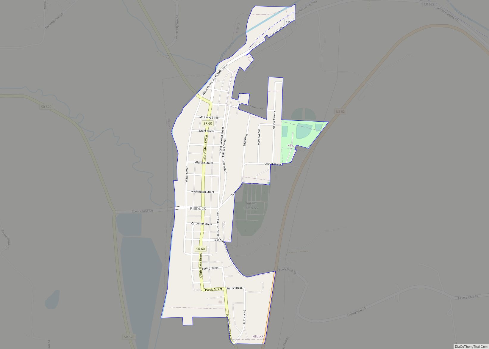
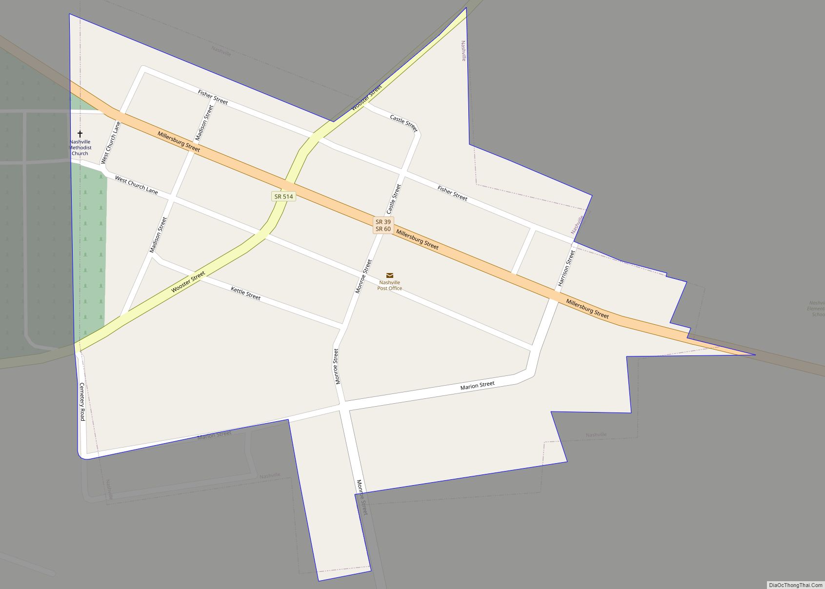
Online Interactive Map
Click on ![]() to view map in "full screen" mode.
to view map in "full screen" mode.
Winesburg location map. Where is Winesburg CDP?


History
The community was founded in 1829 and originally named Weinsberg, after Weinsberg in Germany. The spelling was changed to “Winesburg” by postal authorities in 1833 when a post office was opened there.
Winesburg Road Map

Winesburg city Satellite Map

Geography
Winesburg is in the southeastern part of Paint Township, in northeastern Holmes County. The community sits on a ridge, with the north side draining toward the Middle Fork of Sugar Creek and the south side draining to Indian Trail Creek, a tributary of the South Fork of Sugar Creek. Via Sugar Creek, Winesburg is part of the Tuscarawas River watershed draining to the Ohio River. According to the U.S. Census Bureau, the Winesburg CDP has a total area of 0.63 square miles (1.63 km), of which 1.6 acres (6,533 m), or 0.40%, are water.
U.S. Route 62, which runs through Winesburg as Main Street, leads northeast 24 miles (39 km) to downtown Canton and southwest 13 miles (21 km) to Millersburg, the Holmes county seat.
See also
Map of Ohio State and its subdivision:- Adams
- Allen
- Ashland
- Ashtabula
- Athens
- Auglaize
- Belmont
- Brown
- Butler
- Carroll
- Champaign
- Clark
- Clermont
- Clinton
- Columbiana
- Coshocton
- Crawford
- Cuyahoga
- Darke
- Defiance
- Delaware
- Erie
- Fairfield
- Fayette
- Franklin
- Fulton
- Gallia
- Geauga
- Greene
- Guernsey
- Hamilton
- Hancock
- Hardin
- Harrison
- Henry
- Highland
- Hocking
- Holmes
- Huron
- Jackson
- Jefferson
- Knox
- Lake
- Lake Erie
- Lawrence
- Licking
- Logan
- Lorain
- Lucas
- Madison
- Mahoning
- Marion
- Medina
- Meigs
- Mercer
- Miami
- Monroe
- Montgomery
- Morgan
- Morrow
- Muskingum
- Noble
- Ottawa
- Paulding
- Perry
- Pickaway
- Pike
- Portage
- Preble
- Putnam
- Richland
- Ross
- Sandusky
- Scioto
- Seneca
- Shelby
- Stark
- Summit
- Trumbull
- Tuscarawas
- Union
- Van Wert
- Vinton
- Warren
- Washington
- Wayne
- Williams
- Wood
- Wyandot
- Alabama
- Alaska
- Arizona
- Arkansas
- California
- Colorado
- Connecticut
- Delaware
- District of Columbia
- Florida
- Georgia
- Hawaii
- Idaho
- Illinois
- Indiana
- Iowa
- Kansas
- Kentucky
- Louisiana
- Maine
- Maryland
- Massachusetts
- Michigan
- Minnesota
- Mississippi
- Missouri
- Montana
- Nebraska
- Nevada
- New Hampshire
- New Jersey
- New Mexico
- New York
- North Carolina
- North Dakota
- Ohio
- Oklahoma
- Oregon
- Pennsylvania
- Rhode Island
- South Carolina
- South Dakota
- Tennessee
- Texas
- Utah
- Vermont
- Virginia
- Washington
- West Virginia
- Wisconsin
- Wyoming