Withamsville is a census-designated place (CDP) in Pierce and Union townships of Clermont County, Ohio, United States. The population was 7,357 at the 2020 census.
| Name: | Withamsville CDP |
|---|---|
| LSAD Code: | 57 |
| LSAD Description: | CDP (suffix) |
| State: | Ohio |
| County: | Clermont County |
| Elevation: | 879 ft (268 m) |
| Total Area: | 3.13 sq mi (8.10 km²) |
| Land Area: | 3.13 sq mi (8.10 km²) |
| Water Area: | 0.00 sq mi (0.00 km²) |
| Total Population: | 7,357 |
| Population Density: | 2,351.98/sq mi (908.14/km²) |
| ZIP code: | 45245 |
| Area code: | 513 |
| FIPS code: | 3986254 |
| GNISfeature ID: | 1061798 |
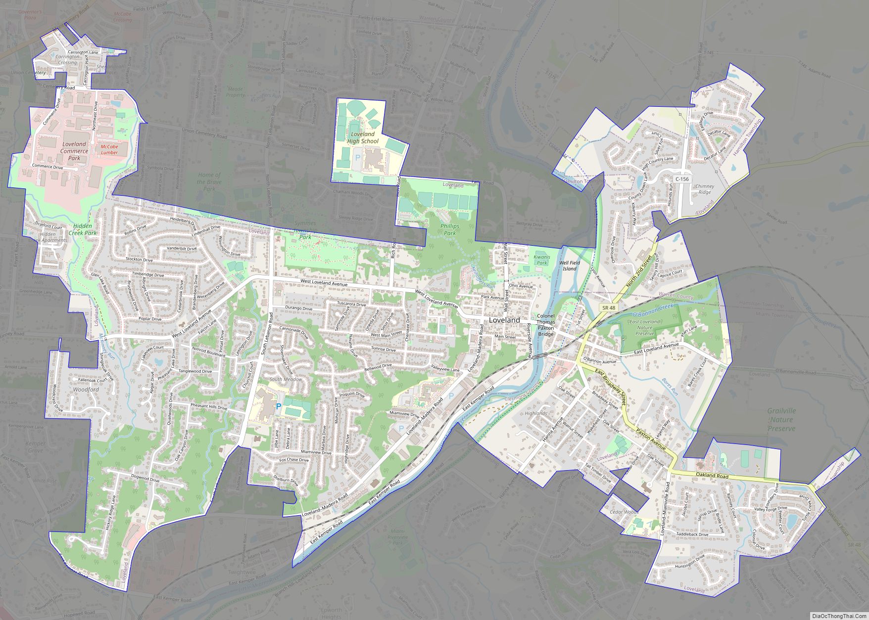
Online Interactive Map
Click on ![]() to view map in "full screen" mode.
to view map in "full screen" mode.
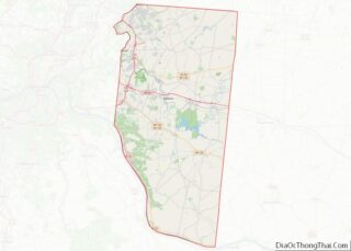
Withamsville location map. Where is Withamsville CDP?


History
A post office called Withamsville was established in 1828, and remained in operation until 1923. The community was named for Rev. Maurice Witham, a pioneer who settled there around 1800.
Withamsville Road Map

Withamsville city Satellite Map

Geography
Withamsville is located in western Clermont County at 39°3′31″N 84°16′12″W / 39.05861°N 84.27000°W / 39.05861; -84.27000 (39.058663, -84.269903), along the southern border of Union Township. The southeast corner of the CDP crosses into Pierce Township to the south. Ohio State Route 125 runs through the center of the community, leading southeast 12 miles (19 km) to Bethel and northwest (via U.S. Route 50) 16 miles (26 km) to downtown Cincinnati. Interstate 275 forms the northwest border of Withamsville, with access from Exit 65 where it crosses Route 125.
According to the United States Census Bureau, the CDP has a total area of 3.1 square miles (8.1 km), all land.
See also
Map of Ohio State and its subdivision:- Adams
- Allen
- Ashland
- Ashtabula
- Athens
- Auglaize
- Belmont
- Brown
- Butler
- Carroll
- Champaign
- Clark
- Clermont
- Clinton
- Columbiana
- Coshocton
- Crawford
- Cuyahoga
- Darke
- Defiance
- Delaware
- Erie
- Fairfield
- Fayette
- Franklin
- Fulton
- Gallia
- Geauga
- Greene
- Guernsey
- Hamilton
- Hancock
- Hardin
- Harrison
- Henry
- Highland
- Hocking
- Holmes
- Huron
- Jackson
- Jefferson
- Knox
- Lake
- Lake Erie
- Lawrence
- Licking
- Logan
- Lorain
- Lucas
- Madison
- Mahoning
- Marion
- Medina
- Meigs
- Mercer
- Miami
- Monroe
- Montgomery
- Morgan
- Morrow
- Muskingum
- Noble
- Ottawa
- Paulding
- Perry
- Pickaway
- Pike
- Portage
- Preble
- Putnam
- Richland
- Ross
- Sandusky
- Scioto
- Seneca
- Shelby
- Stark
- Summit
- Trumbull
- Tuscarawas
- Union
- Van Wert
- Vinton
- Warren
- Washington
- Wayne
- Williams
- Wood
- Wyandot
- Alabama
- Alaska
- Arizona
- Arkansas
- California
- Colorado
- Connecticut
- Delaware
- District of Columbia
- Florida
- Georgia
- Hawaii
- Idaho
- Illinois
- Indiana
- Iowa
- Kansas
- Kentucky
- Louisiana
- Maine
- Maryland
- Massachusetts
- Michigan
- Minnesota
- Mississippi
- Missouri
- Montana
- Nebraska
- Nevada
- New Hampshire
- New Jersey
- New Mexico
- New York
- North Carolina
- North Dakota
- Ohio
- Oklahoma
- Oregon
- Pennsylvania
- Rhode Island
- South Carolina
- South Dakota
- Tennessee
- Texas
- Utah
- Vermont
- Virginia
- Washington
- West Virginia
- Wisconsin
- Wyoming