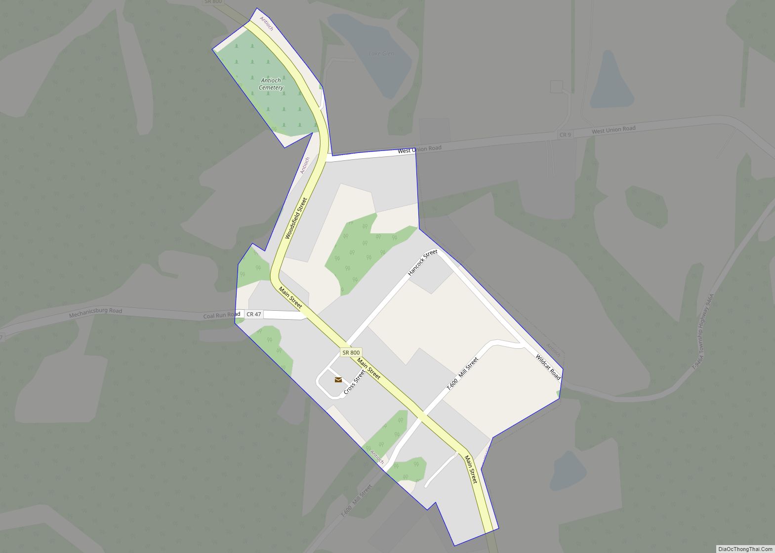
Woodsfield is a village and the county seat of Monroe County, Ohio, United States, located about 30 miles (48 km) northeast of Marietta. The population was 2,210 at the 2020 census.
| Name: | Woodsfield village |
|---|---|
| LSAD Code: | 47 |
| LSAD Description: | village (suffix) |
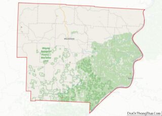
| State: | Ohio |
| County: | Monroe County |
| Elevation: | 1,204 ft (367 m) |
| Total Area: | 2.02 sq mi (5.22 km²) |
| Land Area: | 2.02 sq mi (5.22 km²) |
| Water Area: | 0.00 sq mi (0.00 km²) |
| Total Population: | 2,210 |
| Population Density: | 1,096.77/sq mi (423.48/km²) |
| ZIP code: | 43793 |
| Area code: | 740 |
| FIPS code: | 3986436 |
| GNISfeature ID: | 1077231 |
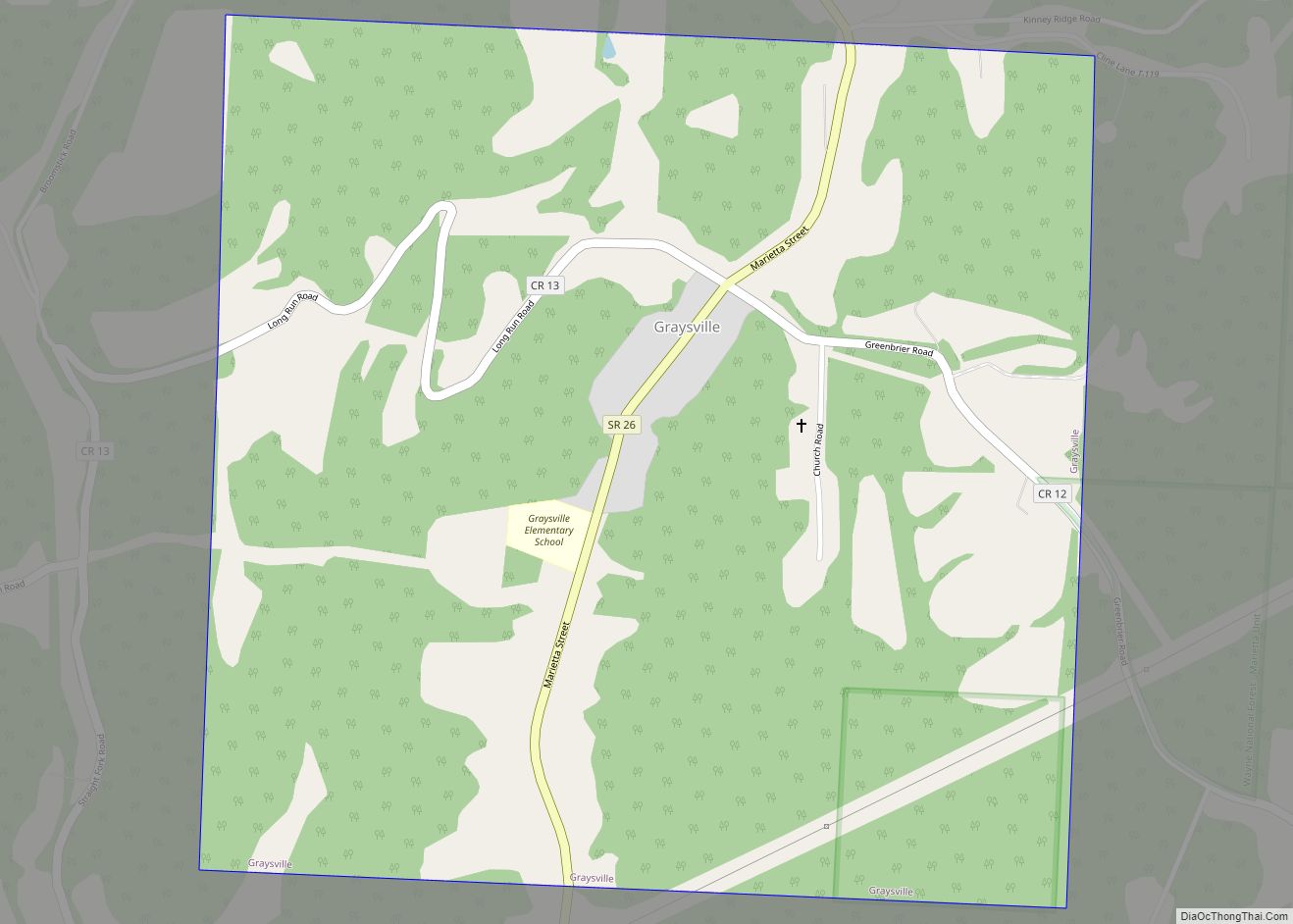
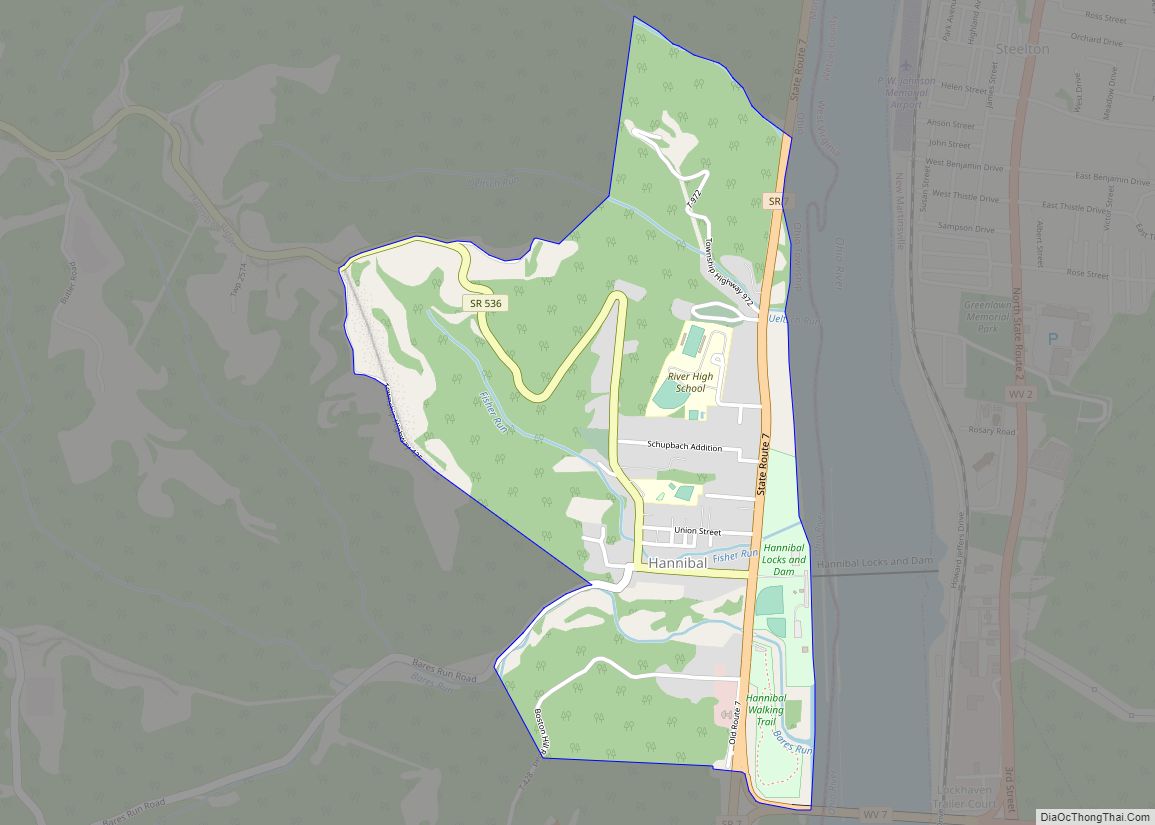
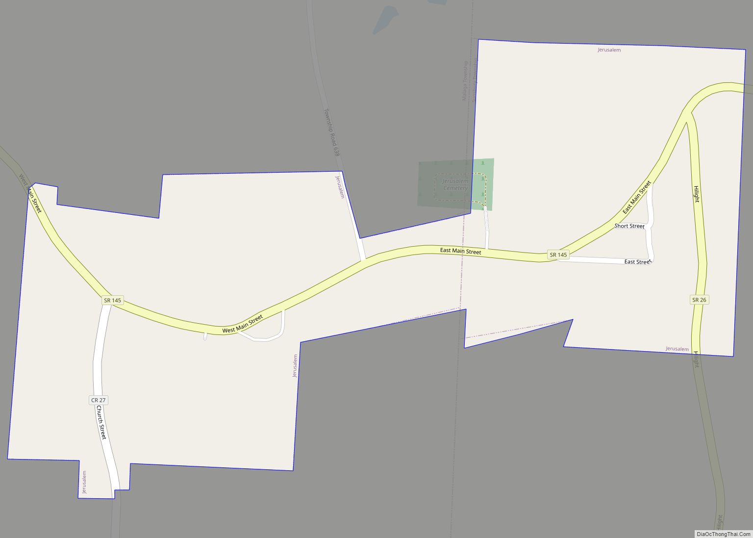
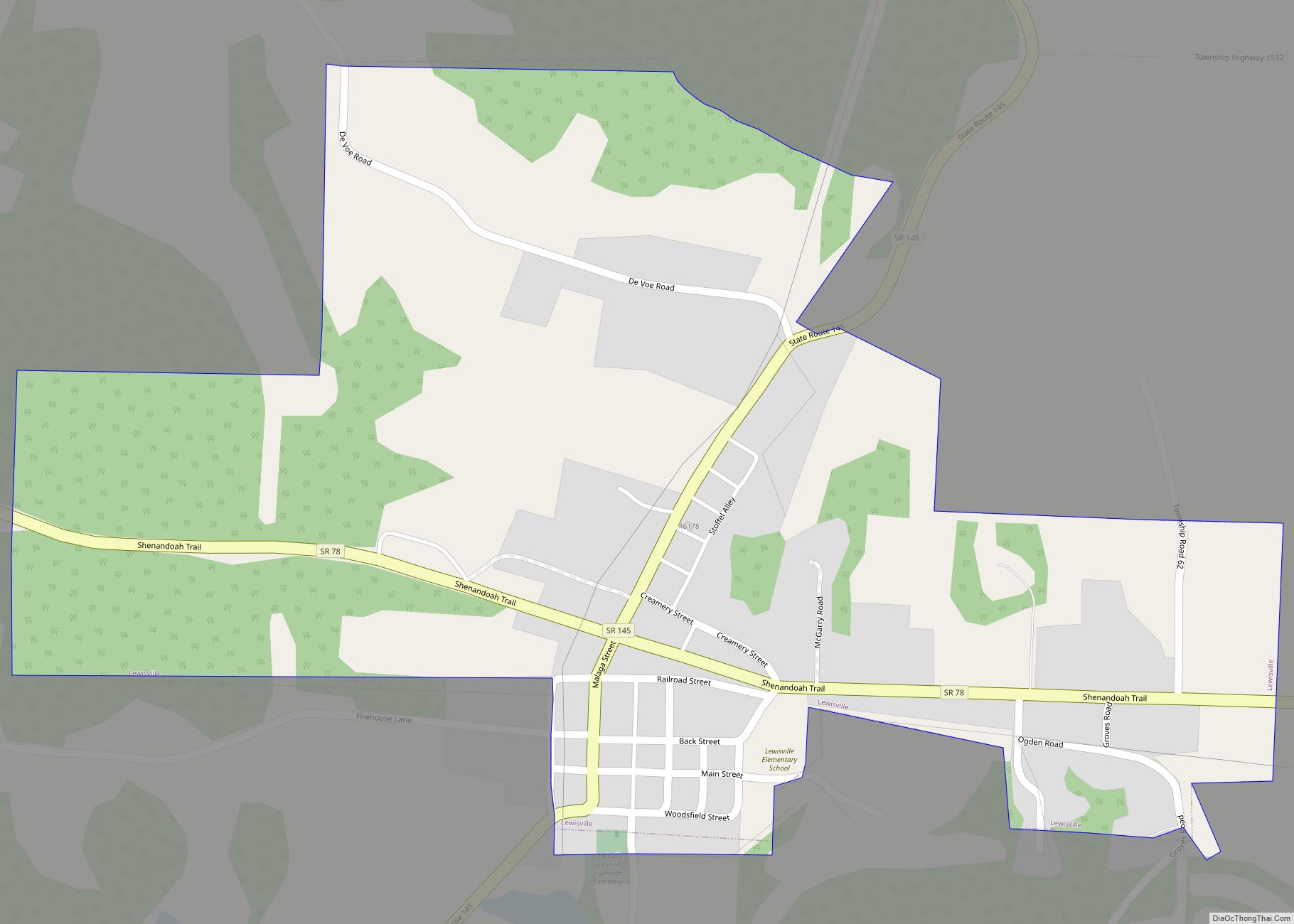
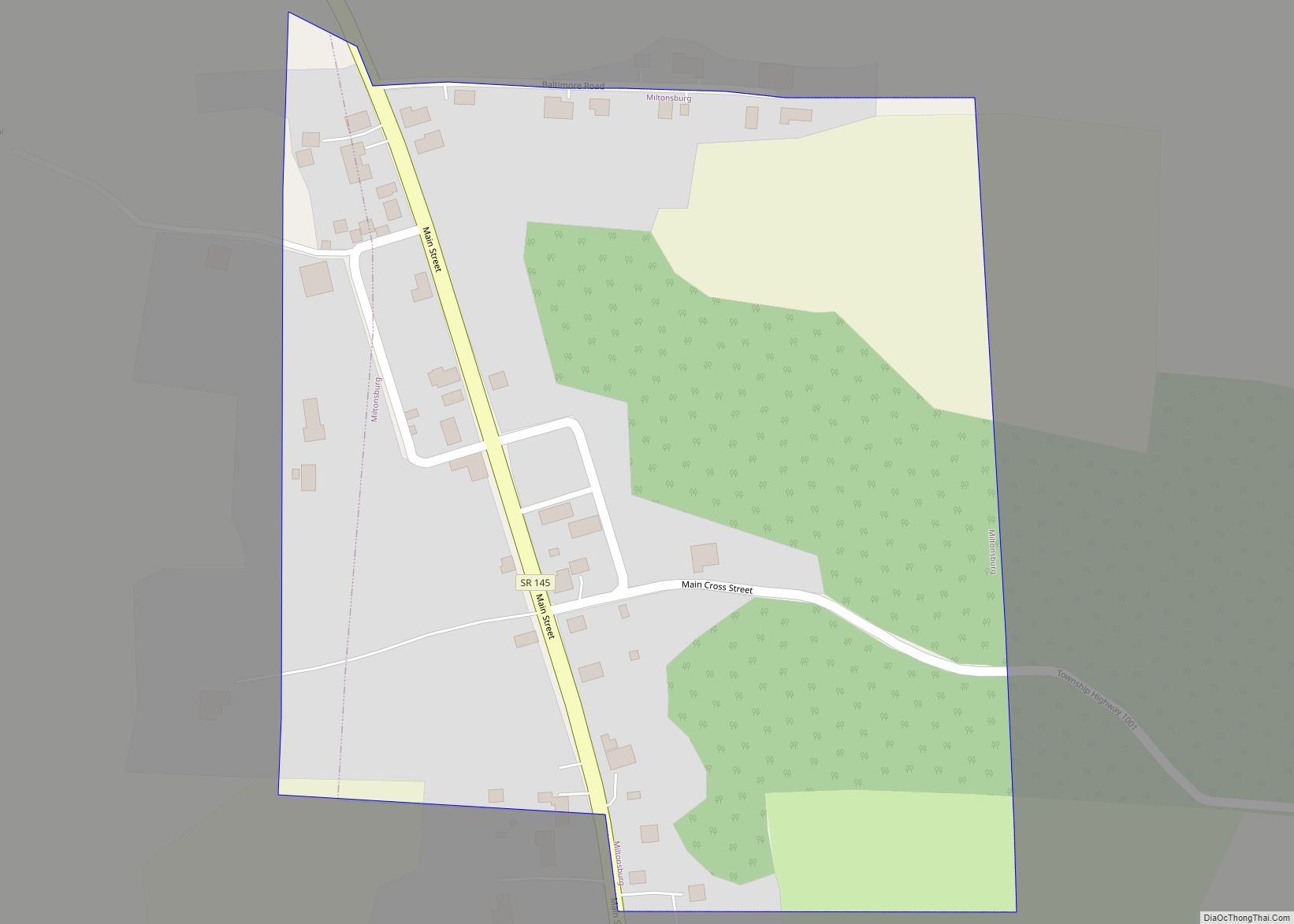
Online Interactive Map
Click on ![]() to view map in "full screen" mode.
to view map in "full screen" mode.
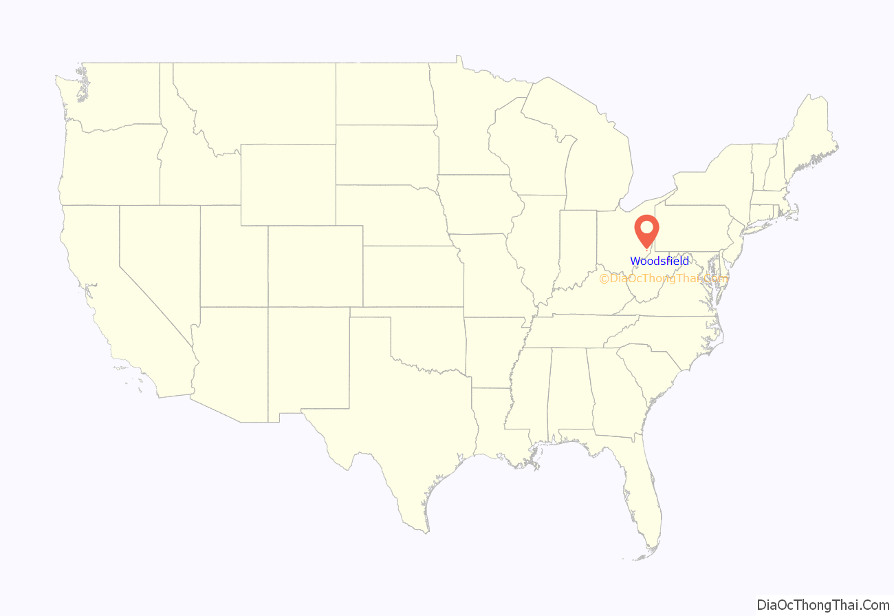
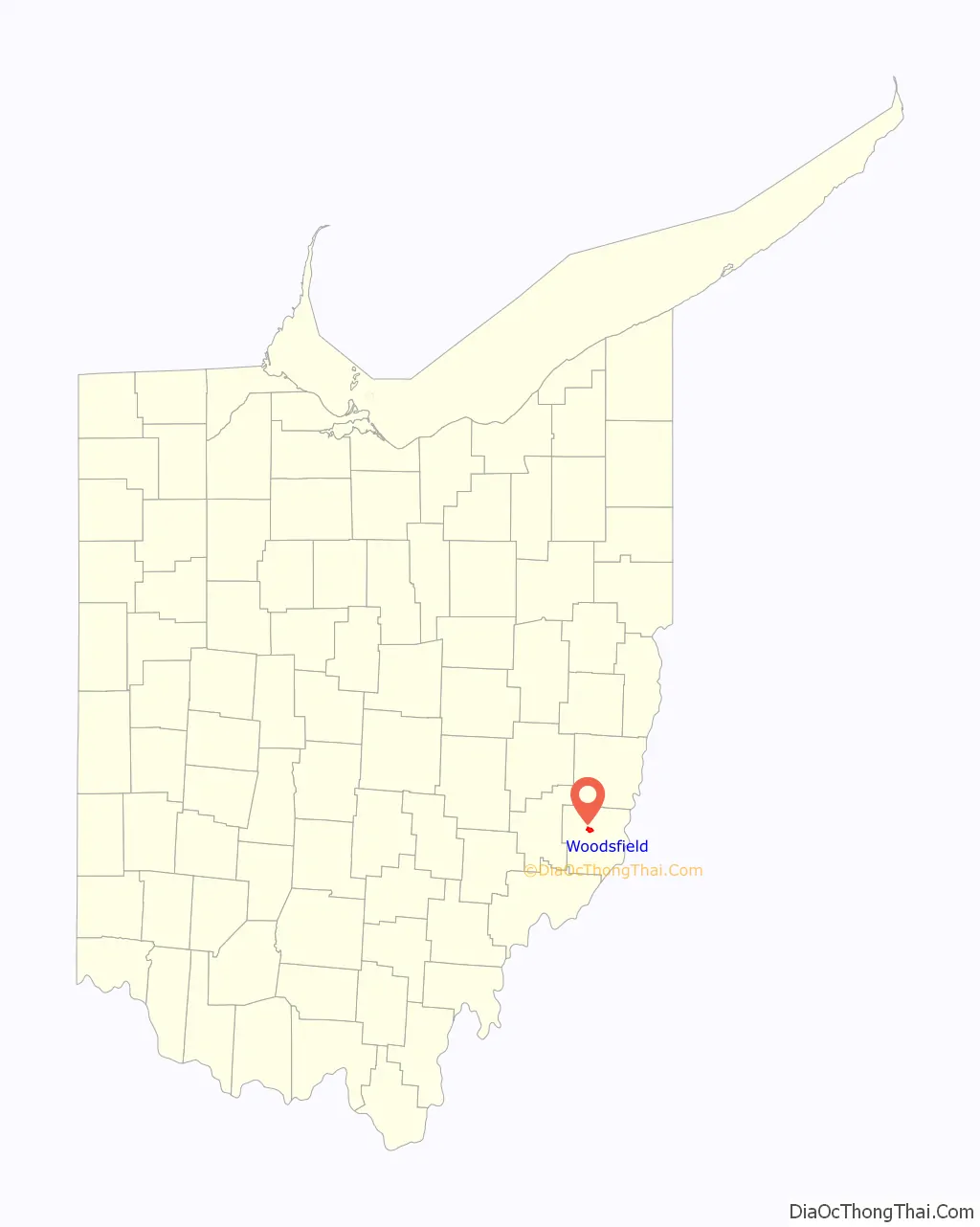
Woodsfield location map. Where is Woodsfield village?
History
Woodsfield was founded in 1813 as seat of the newly formed Monroe County. It was named for Archibald Woods. The village was incorporated in 1835.
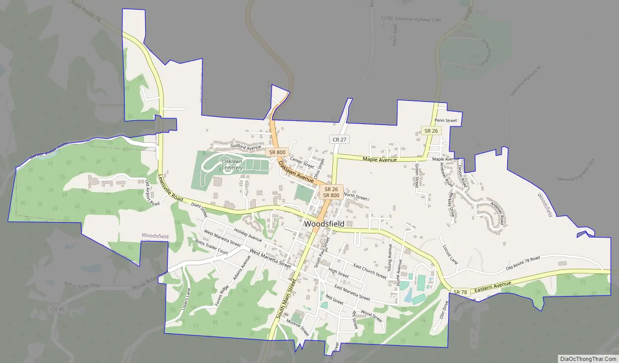
Woodsfield Road Map
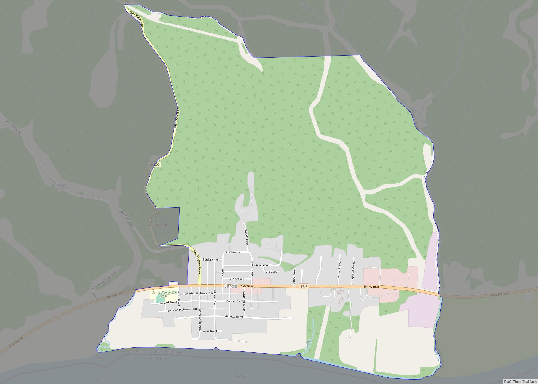
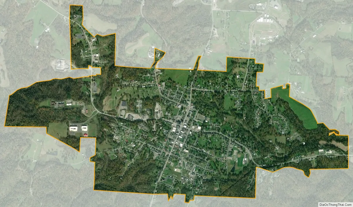
Woodsfield city Satellite Map
Geography
Woodsfield is located at 39°45′49″N 81°06′53″W / 39.763589°N 81.114596°W / 39.763589; -81.114596.
According to the United States Census Bureau, the village has a total area of 2.02 square miles (5.23 km), all land.
See also
Map of Ohio State and its subdivision:- Adams
- Allen
- Ashland
- Ashtabula
- Athens
- Auglaize
- Belmont
- Brown
- Butler
- Carroll
- Champaign
- Clark
- Clermont
- Clinton
- Columbiana
- Coshocton
- Crawford
- Cuyahoga
- Darke
- Defiance
- Delaware
- Erie
- Fairfield
- Fayette
- Franklin
- Fulton
- Gallia
- Geauga
- Greene
- Guernsey
- Hamilton
- Hancock
- Hardin
- Harrison
- Henry
- Highland
- Hocking
- Holmes
- Huron
- Jackson
- Jefferson
- Knox
- Lake
- Lake Erie
- Lawrence
- Licking
- Logan
- Lorain
- Lucas
- Madison
- Mahoning
- Marion
- Medina
- Meigs
- Mercer
- Miami
- Monroe
- Montgomery
- Morgan
- Morrow
- Muskingum
- Noble
- Ottawa
- Paulding
- Perry
- Pickaway
- Pike
- Portage
- Preble
- Putnam
- Richland
- Ross
- Sandusky
- Scioto
- Seneca
- Shelby
- Stark
- Summit
- Trumbull
- Tuscarawas
- Union
- Van Wert
- Vinton
- Warren
- Washington
- Wayne
- Williams
- Wood
- Wyandot
- Alabama
- Alaska
- Arizona
- Arkansas
- California
- Colorado
- Connecticut
- Delaware
- District of Columbia
- Florida
- Georgia
- Hawaii
- Idaho
- Illinois
- Indiana
- Iowa
- Kansas
- Kentucky
- Louisiana
- Maine
- Maryland
- Massachusetts
- Michigan
- Minnesota
- Mississippi
- Missouri
- Montana
- Nebraska
- Nevada
- New Hampshire
- New Jersey
- New Mexico
- New York
- North Carolina
- North Dakota
- Ohio
- Oklahoma
- Oregon
- Pennsylvania
- Rhode Island
- South Carolina
- South Dakota
- Tennessee
- Texas
- Utah
- Vermont
- Virginia
- Washington
- West Virginia
- Wisconsin
- Wyoming