Zaleski is a village in Vinton County, Ohio, United States. The population was 278 at the 2010 census.
| Name: | Zaleski village |
|---|---|
| LSAD Code: | 47 |
| LSAD Description: | village (suffix) |
| State: | Ohio |
| County: | Vinton County |
| Total Area: | 0.41 sq mi (1.07 km²) |
| Land Area: | 0.40 sq mi (1.05 km²) |
| Water Area: | 0.01 sq mi (0.02 km²) |
| Total Population: | 230 |
| Population Density: | 569.31/sq mi (219.86/km²) |
| ZIP code: | 45698 |
| Area code: | 740 |
| FIPS code: | 3988028 |
Online Interactive Map
Click on ![]() to view map in "full screen" mode.
to view map in "full screen" mode.
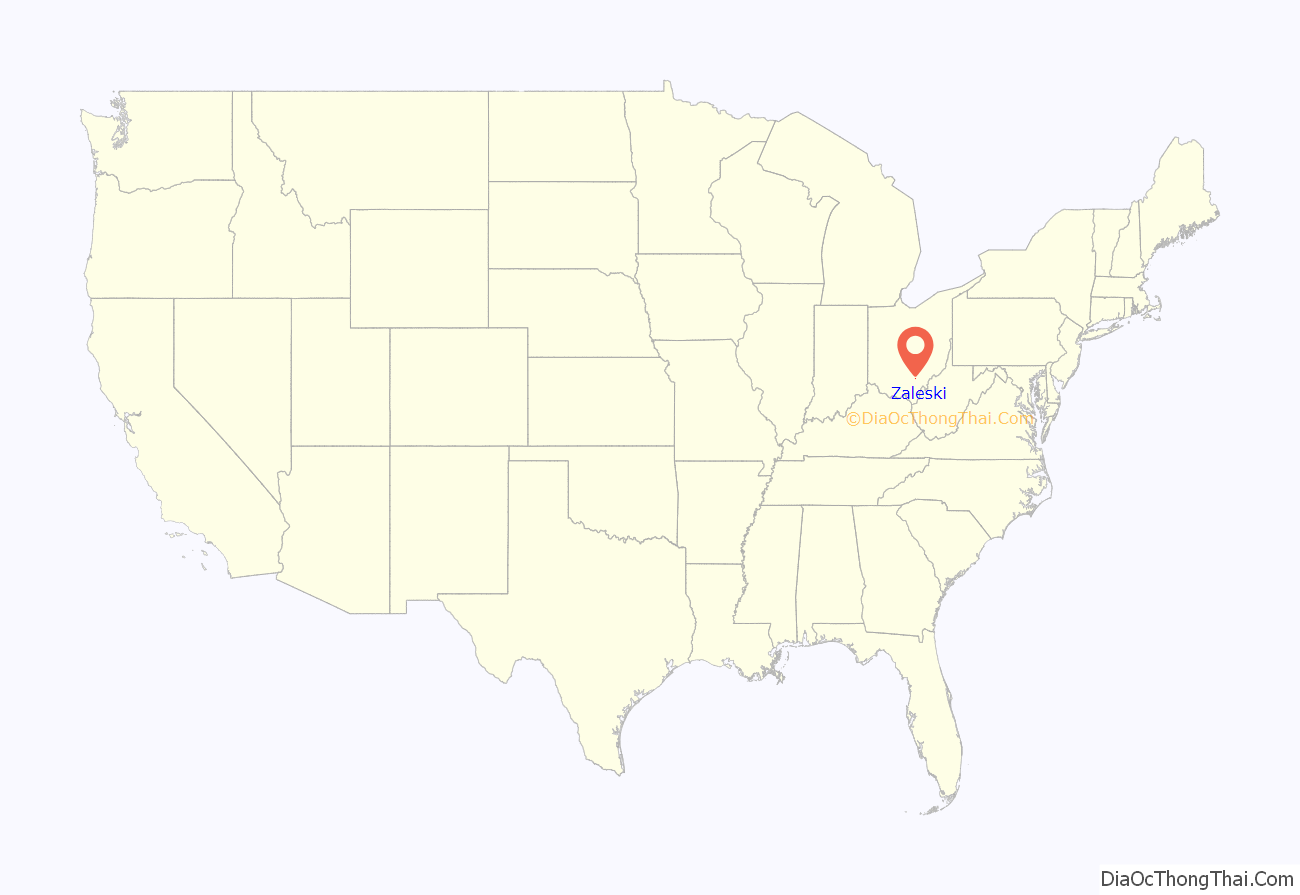
Zaleski location map. Where is Zaleski village?
History
Six Native American mounds, built by the prehistoric Adena culture, were once located at Zaleski. Three have been destroyed, but the others — known as the Markham, Ranger Station and Zaleski Methodist Church Mounds — are still in existence. Together these three compose the Zaleski Mound Group.
Zaleski was laid out in 1856 as a mining community. The village was named for Peter. F. Zaleski, a Polish-American official with the mining company that originally owned the town site. Zaleski once had an iron blast furnace.
Beginning in February 2014, Zaleski began construction on a public sewer plant project, making it only the third village in the county (after, McArthur and Hamden) to have a public waste facility.
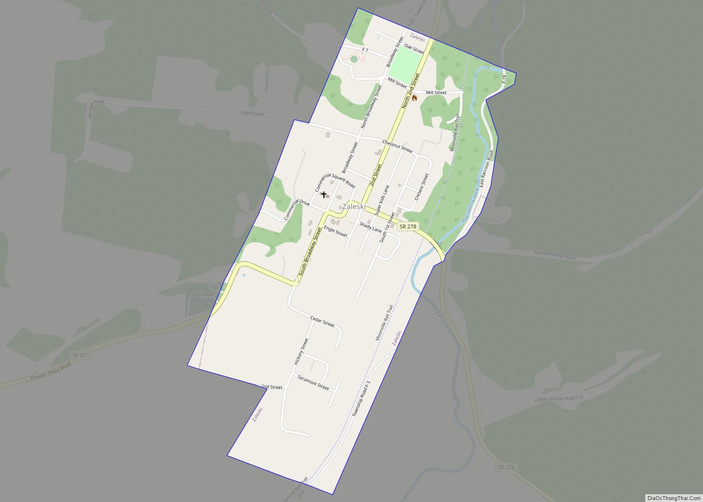
Zaleski Road Map
Zaleski city Satellite Map
Geography
Zaleski is located at 39°16′55″N 82°23′40″W / 39.28194°N 82.39444°W / 39.28194; -82.39444 (39.281850, -82.394461).
According to the United States Census Bureau, the village has a total area of 0.45 square miles (1.17 km), of which 0.44 square miles (1.14 km) is land and 0.01 square miles (0.03 km) is water.
Zaleski is located on Raccoon Creek, a tributary of the Ohio River.
See also
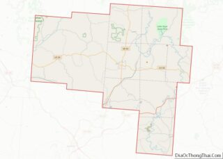
Map of Ohio State and its subdivision:- Adams
- Allen
- Ashland
- Ashtabula
- Athens
- Auglaize
- Belmont
- Brown
- Butler
- Carroll
- Champaign
- Clark
- Clermont
- Clinton
- Columbiana
- Coshocton
- Crawford
- Cuyahoga
- Darke
- Defiance
- Delaware
- Erie
- Fairfield
- Fayette
- Franklin
- Fulton
- Gallia
- Geauga
- Greene
- Guernsey
- Hamilton
- Hancock
- Hardin
- Harrison
- Henry
- Highland
- Hocking
- Holmes
- Huron
- Jackson
- Jefferson
- Knox
- Lake
- Lake Erie
- Lawrence
- Licking
- Logan
- Lorain
- Lucas
- Madison
- Mahoning
- Marion
- Medina
- Meigs
- Mercer
- Miami
- Monroe
- Montgomery
- Morgan
- Morrow
- Muskingum
- Noble
- Ottawa
- Paulding
- Perry
- Pickaway
- Pike
- Portage
- Preble
- Putnam
- Richland
- Ross
- Sandusky
- Scioto
- Seneca
- Shelby
- Stark
- Summit
- Trumbull
- Tuscarawas
- Union
- Van Wert
- Vinton
- Warren
- Washington
- Wayne
- Williams
- Wood
- Wyandot
- Alabama
- Alaska
- Arizona
- Arkansas
- California
- Colorado
- Connecticut
- Delaware
- District of Columbia
- Florida
- Georgia
- Hawaii
- Idaho
- Illinois
- Indiana
- Iowa
- Kansas
- Kentucky
- Louisiana
- Maine
- Maryland
- Massachusetts
- Michigan
- Minnesota
- Mississippi
- Missouri
- Montana
- Nebraska
- Nevada
- New Hampshire
- New Jersey
- New Mexico
- New York
- North Carolina
- North Dakota
- Ohio
- Oklahoma
- Oregon
- Pennsylvania
- Rhode Island
- South Carolina
- South Dakota
- Tennessee
- Texas
- Utah
- Vermont
- Virginia
- Washington
- West Virginia
- Wisconsin
- Wyoming
