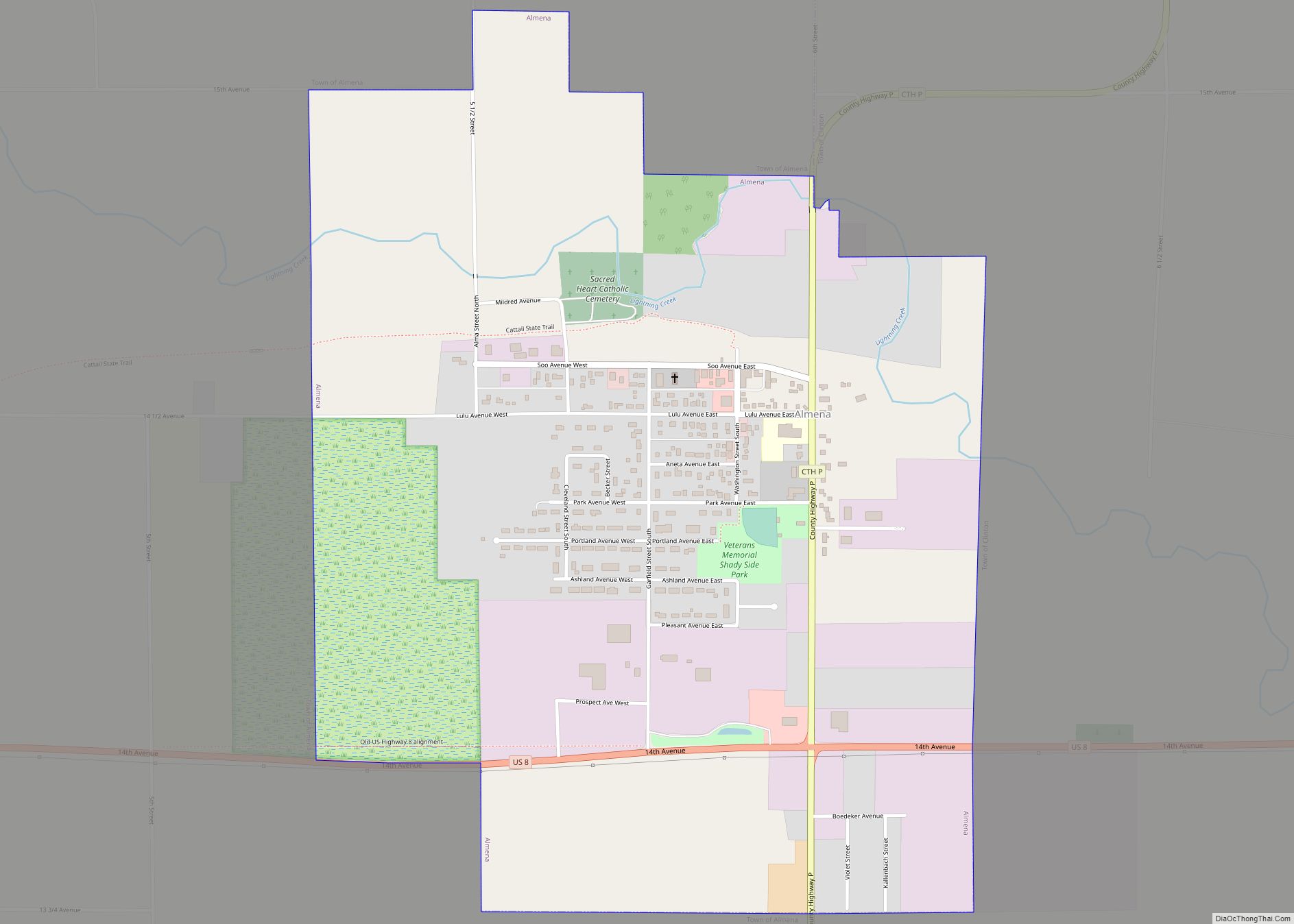
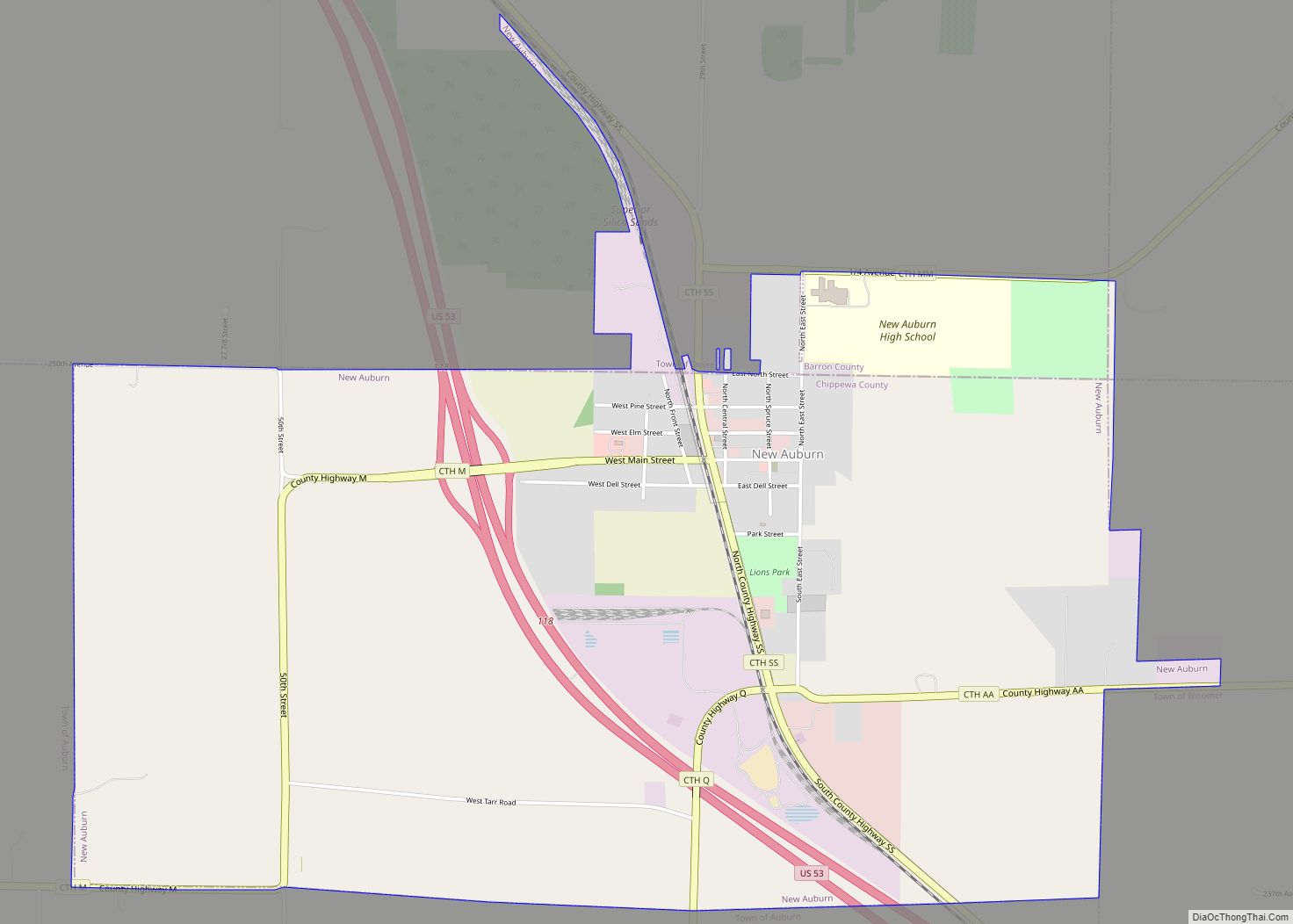
The Town of Almena is in Barron County in the U.S. state of Wisconsin. The population was 858 at the 2010 census. The Village of Almena is partially located within the town.
| Name: | Almena village |
|---|---|
| LSAD Code: | 47 |
| LSAD Description: | village (suffix) |
| State: | Wisconsin |
| County: | Barron County |
| FIPS code: | 5501325 |
Online Interactive Map
Click on ![]() to view map in "full screen" mode.
to view map in "full screen" mode.
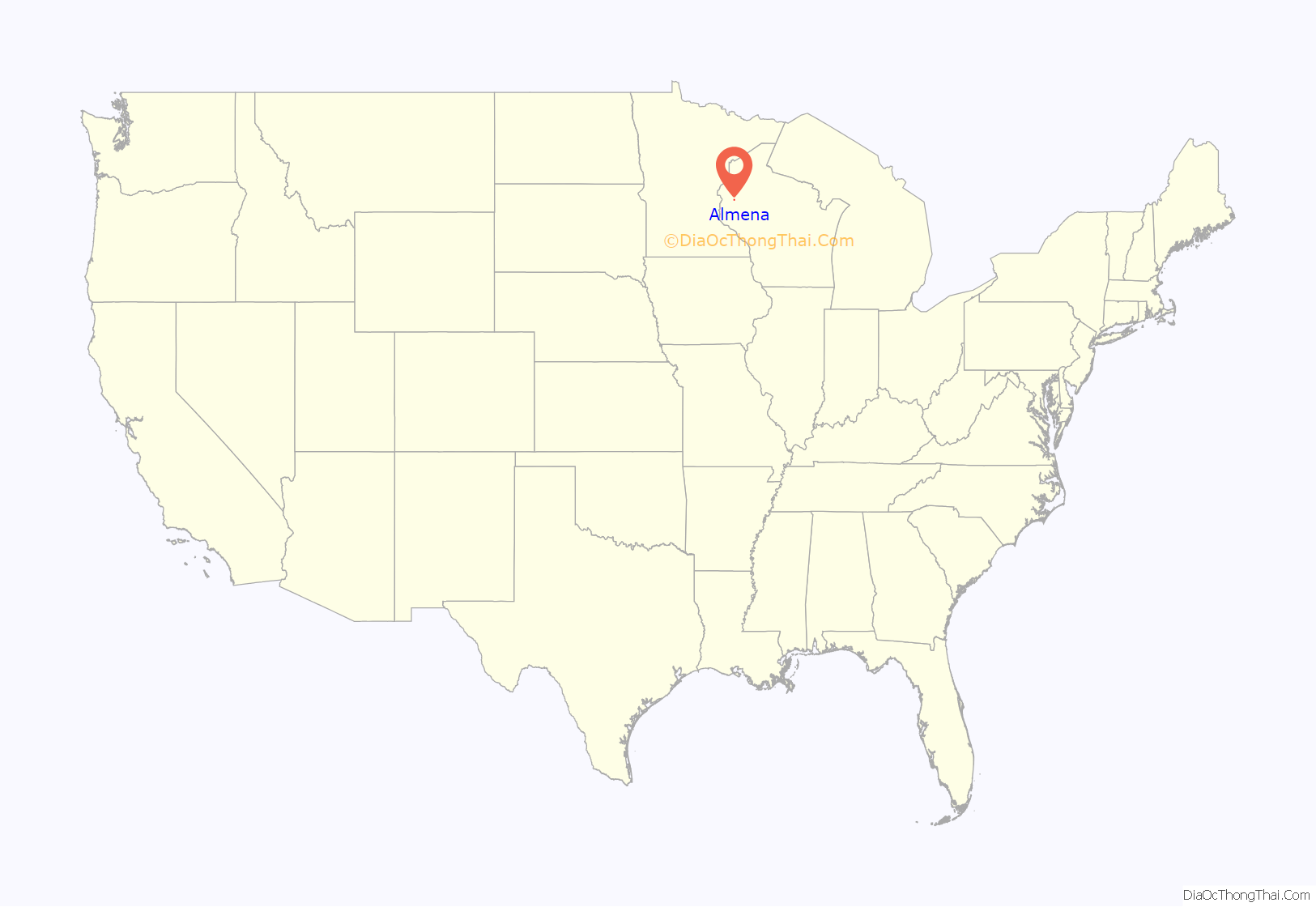
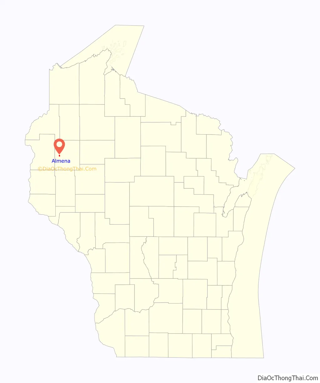
Almena location map. Where is Almena village?
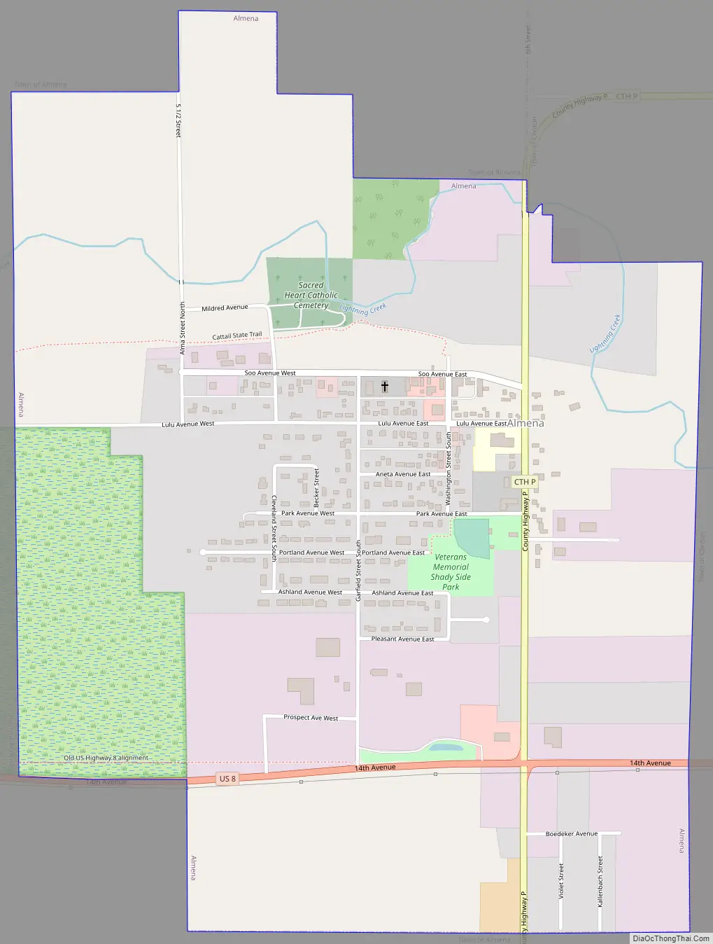
Almena Road Map
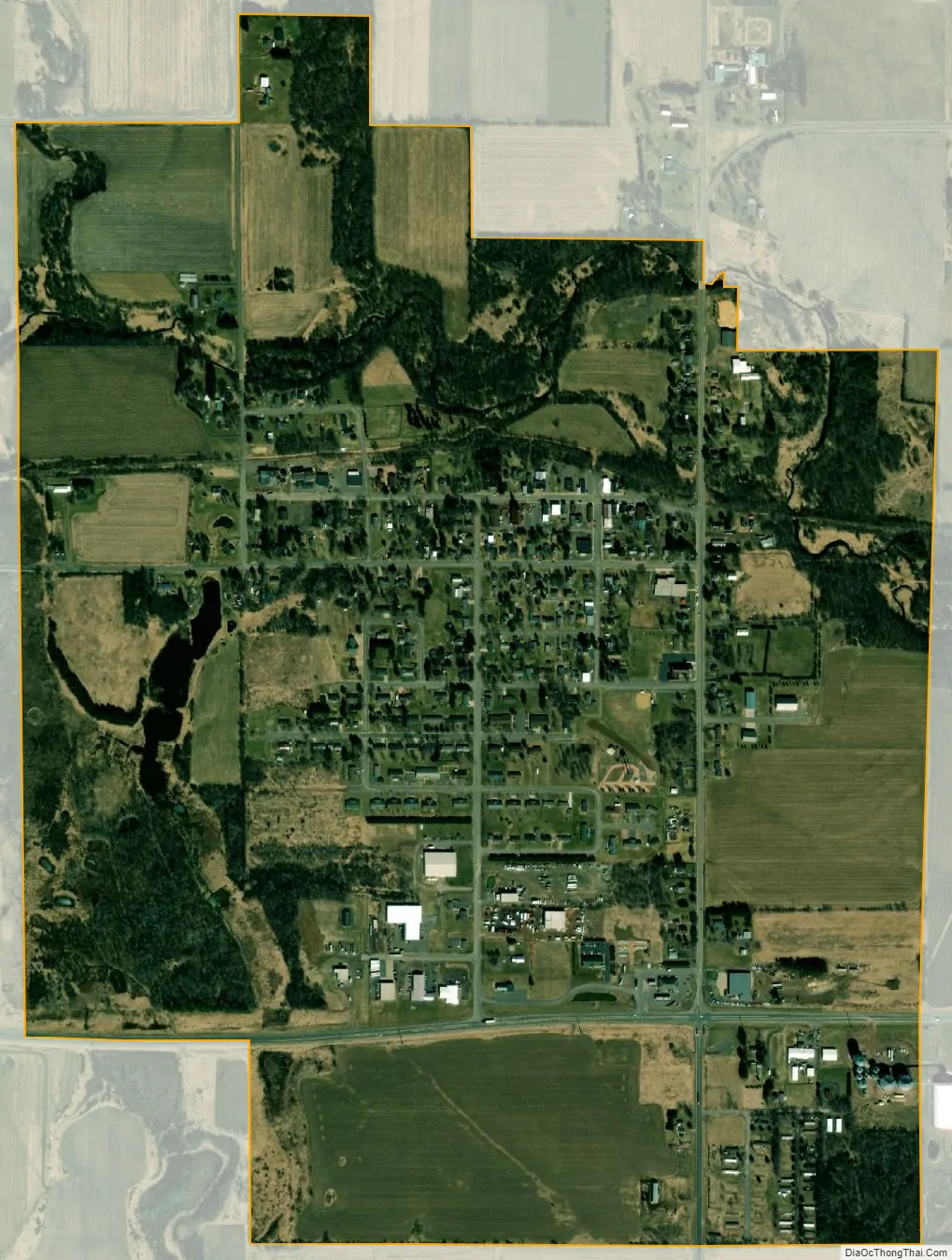
Almena city Satellite Map
Geography
The town is located along the western edge of Barron County; its western border is the Polk County line. The village of Almena is located along the eastern edge of the town, and the village of Turtle Lake is in the southwest corner.
U.S. Route 8 crosses the town from east to west through the villages of Almena and Turtle Lake. It is 10 miles (16 km) east to Barron and 26 miles (42 km) west to St. Croix Falls. U.S. Route 63 crosses the town diagonally from Turtle Lake in the southwest to the northern border; the highway leads 7 miles (11 km) northeast to Cumberland and 13 miles (21 km) southwest to Clear Lake.
According to the United States Census Bureau, the town has a total area of 32.4 square miles (83.8 km), of which 30.5 square miles (78.9 km) is land and 1.9 square miles (4.9 km), or 5.88%, is water. Upper and Lower Turtle Lakes are the largest water bodies in the town, followed by Echo Lake and the eastern end of Horseshoe Lake.
See also
Map of Wisconsin State and its subdivision:- Adams
- Ashland
- Barron
- Bayfield
- Brown
- Buffalo
- Burnett
- Calumet
- Chippewa
- Clark
- Columbia
- Crawford
- Dane
- Dodge
- Door
- Douglas
- Dunn
- Eau Claire
- Florence
- Fond du Lac
- Forest
- Grant
- Green
- Green Lake
- Iowa
- Iron
- Jackson
- Jefferson
- Juneau
- Kenosha
- Kewaunee
- La Crosse
- Lafayette
- Lake Michigan
- Lake Superior
- Langlade
- Lincoln
- Manitowoc
- Marathon
- Marinette
- Marquette
- Menominee
- Milwaukee
- Monroe
- Oconto
- Oneida
- Outagamie
- Ozaukee
- Pepin
- Pierce
- Polk
- Portage
- Price
- Racine
- Richland
- Rock
- Rusk
- Saint Croix
- Sauk
- Sawyer
- Shawano
- Sheboygan
- Taylor
- Trempealeau
- Vernon
- Vilas
- Walworth
- Washburn
- Washington
- Waukesha
- Waupaca
- Waushara
- Winnebago
- Wood
- Alabama
- Alaska
- Arizona
- Arkansas
- California
- Colorado
- Connecticut
- Delaware
- District of Columbia
- Florida
- Georgia
- Hawaii
- Idaho
- Illinois
- Indiana
- Iowa
- Kansas
- Kentucky
- Louisiana
- Maine
- Maryland
- Massachusetts
- Michigan
- Minnesota
- Mississippi
- Missouri
- Montana
- Nebraska
- Nevada
- New Hampshire
- New Jersey
- New Mexico
- New York
- North Carolina
- North Dakota
- Ohio
- Oklahoma
- Oregon
- Pennsylvania
- Rhode Island
- South Carolina
- South Dakota
- Tennessee
- Texas
- Utah
- Vermont
- Virginia
- Washington
- West Virginia
- Wisconsin
- Wyoming